(Baonghean.vn) - Tuong Duong has a total natural area of over 281,000 hectares, making it the largest district-level administrative unit in the country. However, the natural conditions here are extremely harsh, with the terrain being mainly mountainous. However, in the face of difficulties, the district has still exploited its land potential to develop forestry and livestock economy... contributing to improving people's lives and achieving an impressive poverty reduction rate over the past 5 years.
Nghe An Newspaper reporters captured some impressive images of this land, which is often referred to as "The Fire of Indochina":
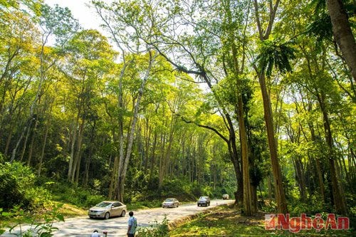 |
| The mangrove forest along Highway 7 has left a strong impression on everyone who comes to Tuong Duong district. |
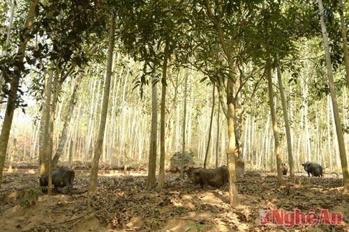 |
| Increasing the forest cover of the whole district to 62.6%, Tuong Duong strongly develops forest economy with many combined models. |
 |
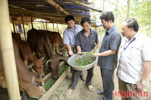
| Commodity-oriented production models have increased production value in the agricultural and forestry sectors. |
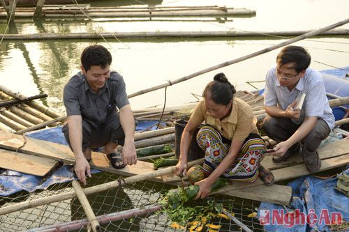 |
| Over the past 5 years, the district has built 269 economic models, including 89 crop models, 163 livestock models, 10 afforestation, nursery and agroforestry models, 3 weaving models, and 4 aquaculture models. |
 |
| As a result, the poverty rate decreased from 71.8% in 2010 to 39.38% in 2015, an average annual decrease of 6.5%. |
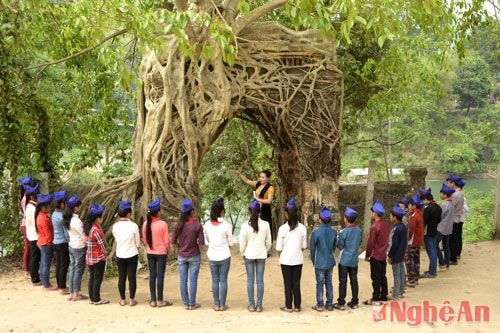 |
| With the growing economy, children of Tuong Duong district have better learning conditions. In the photo is a history lesson of Tuong Duong students at the Tuong Duong Palace Gate relic in Xa Luong commune. |
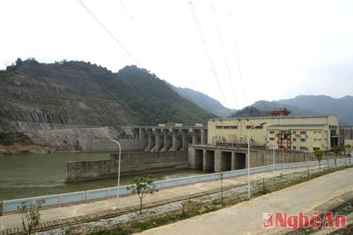 |
| Tuong Duong has great potential for hydropower construction. Pictured is Khe Bo hydropower plant. |
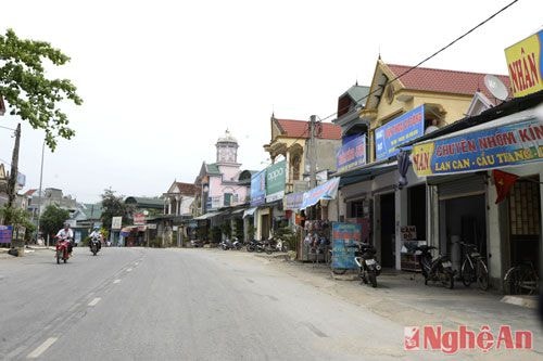 |
| Hoa Binh town today is a bustling commercial and service center of Tuong Duong district. |
Sy Minh