(Baonghean.vn)- Cua Rao - the source of Lam River has a charming beauty, both majestic and poetic, and contains sacred features.
Cua Rao is located in Xa Luong commune (Tuong Duong), the confluence of Nam Non and Nam Mo rivers to form the clear, gentle Lam river, a cultural symbol of Nghe An. Both rivers originate from Laos, after acquiring Vietnamese "citizenship", they traveled several hundred kilometers through Ky Son, Tuong Duong and then met at Cua Rao.
The Lam River was "born", flowing steadily downstream, depositing alluvium for the alluvial plains and fertile fields, bringing life to the villages. At Cua Hoi (Cua Lo Town), the Lam River merges into the vast ocean...
Some images of Cua Rao junction - the origin of Lam river recorded by Nghe An Newspaper reporter:
 |
| Nam Non on the left, Nam Mo on the right, the mountain between the two rivers is called Doi Den. Doi Den is an archaeological site, where scientists have discovered many valuable artifacts. There is also Van-Cua Rao temple built hundreds of years ago. |
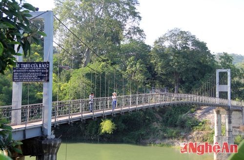 |
| The suspension bridge spans the Nam Mo River, connecting National Highway 7A with the archaeological site of Den Hill and Van - Cua Rao Temple. |
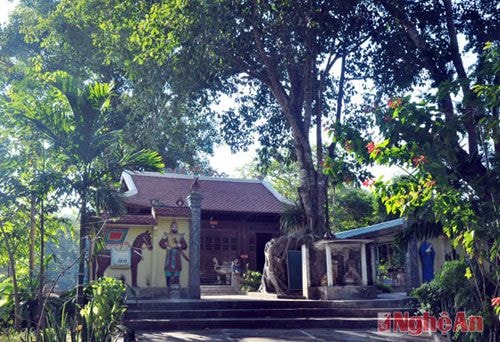 |
| Van Temple - Cua Rao is majestic and quiet under the canopy of hundreds of years old trees. |
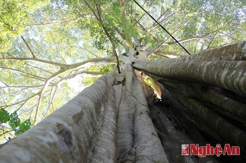 |
| In the grounds of Van-Cua Rao Temple, there are ancient trees hundreds of years old, a "green heritage", historical "witnesses". In the photo is a 700-year-old banyan tree standing along the path to the temple. |
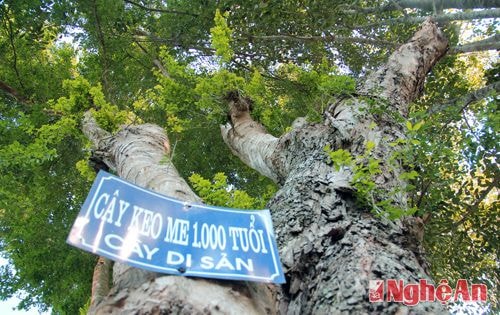 |
| And here is the 1,000 year old acacia tree standing in front of the temple yard. |
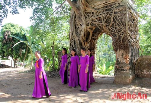 |
| On the left bank of the Nam Non River, the Tuong Palace Gate (Con Cuong, Tuong Duong, Ky Son) still exists, now located in the campus of Xa Luong Secondary School. The palace gate is also tightly embraced by the roots of the banyan tree, creating a solid and interesting look. |
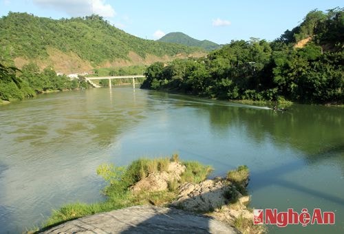 |
| From Cua Rao junction, Lam river is formed and flows downstream, depositing alluvium for the alluvial plains and immense fields. |
Cong Kien - Ho Phuong