Muong Qua sedimentary deposits on the banks of the Giang River
Tien Dong•September 25, 2024 09:52
From the eastern slopes of the majestic Truong Son mountain range, the Giang River tirelessly carries water from the towering peak of Pu Lon, winding through the deep, majestic forests of Pu Mat National Park, meandering across lush green banks before emptying into the Ca River. Although only a tributary, about 150 km long, the Giang River holds within it a wealth of historical and cultural heritage.
Legends about migrations...
On a journey of nearly 130 km along National Highway 7, passing through the communes of Yen Khe and Luc Da, I arrived at Mon Son commune (Con Cuong district), considered the center of the ancient Muong Qua region. This area has a basin-like topography, and is the largest and most fertile area in the upper reaches of the Giang River.
The population of Mon Son is mostly Thai ethnic people, followed by Dan Lai and Kinh people. Of these, the Thai people make up the majority, over 80%. The Thai people in Mon Son belong to the Thai Man Thanh group, originating from the North and migrating to this area in the 15th century.
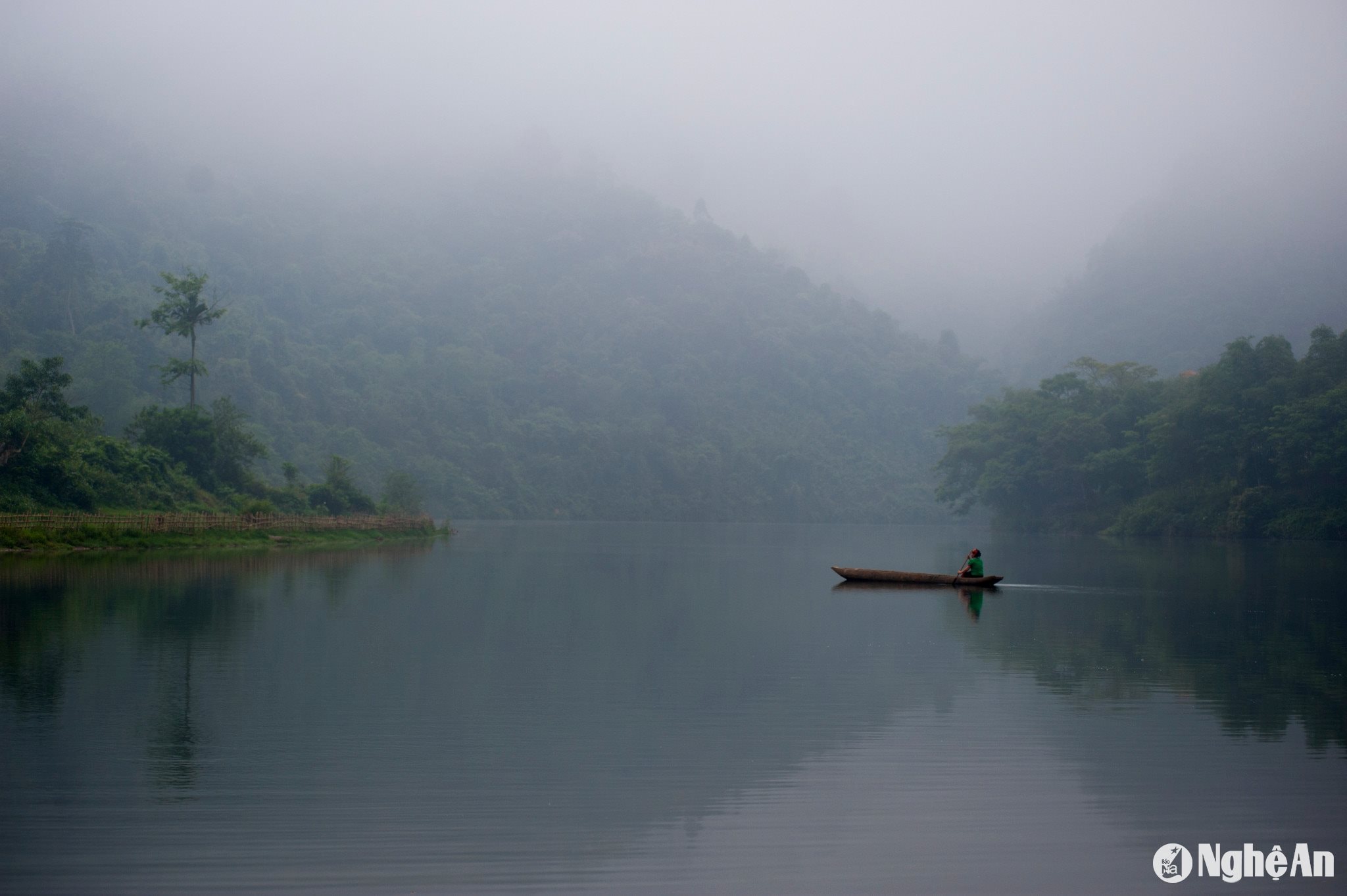
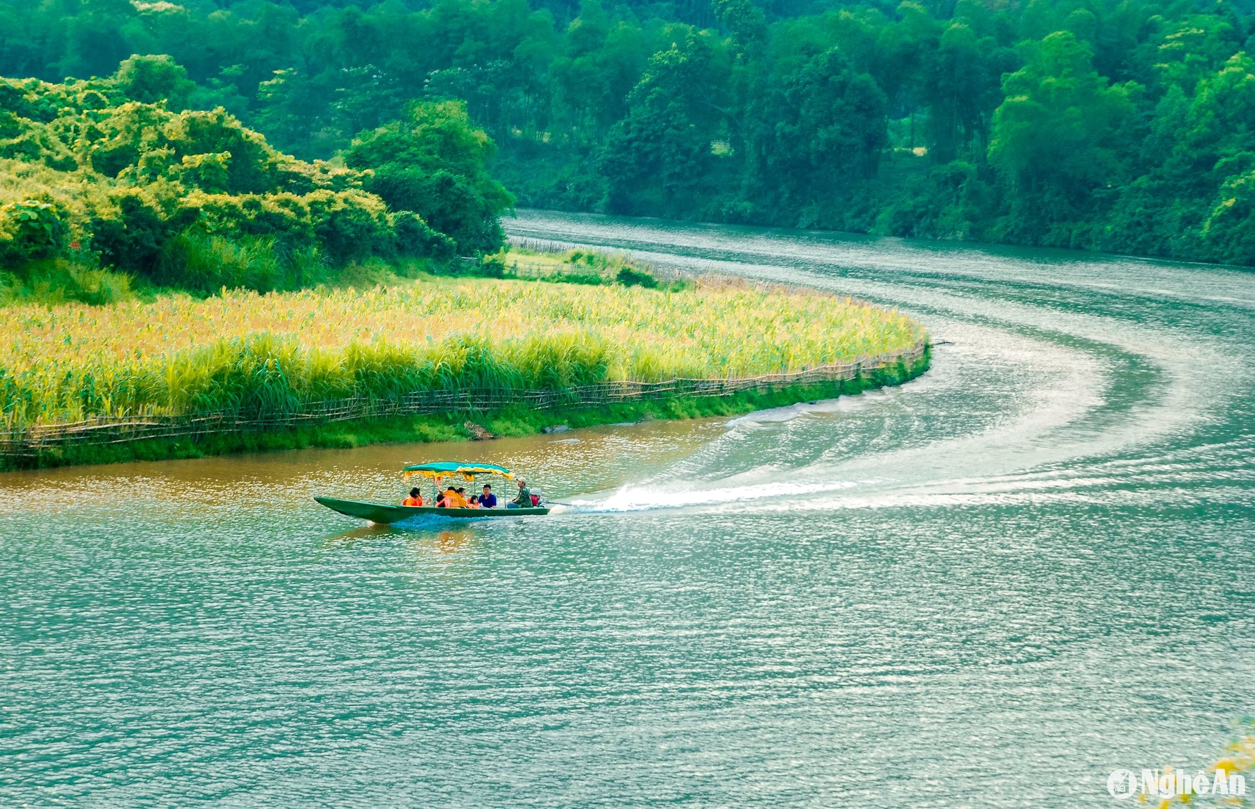
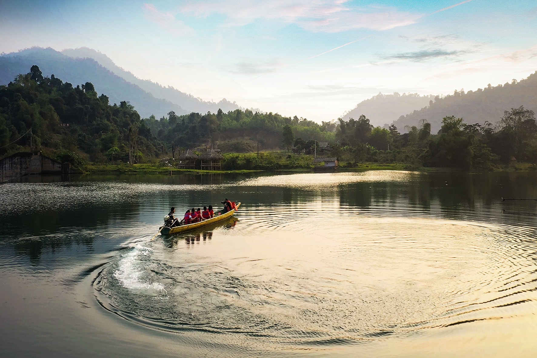
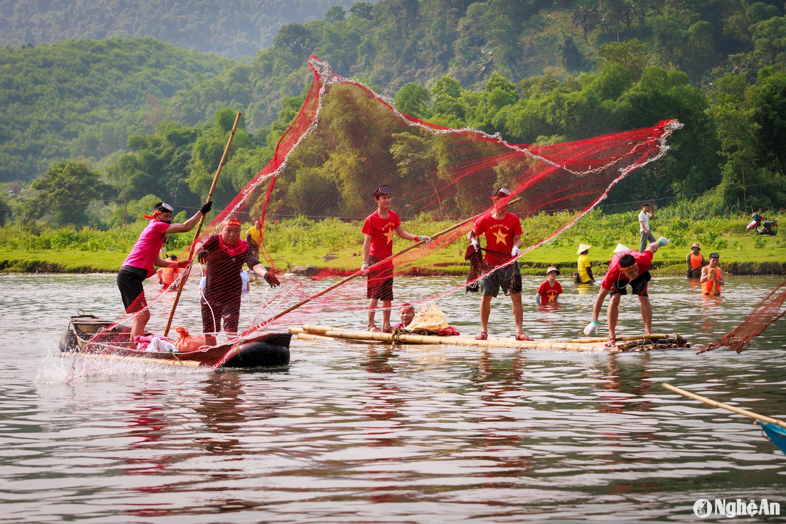
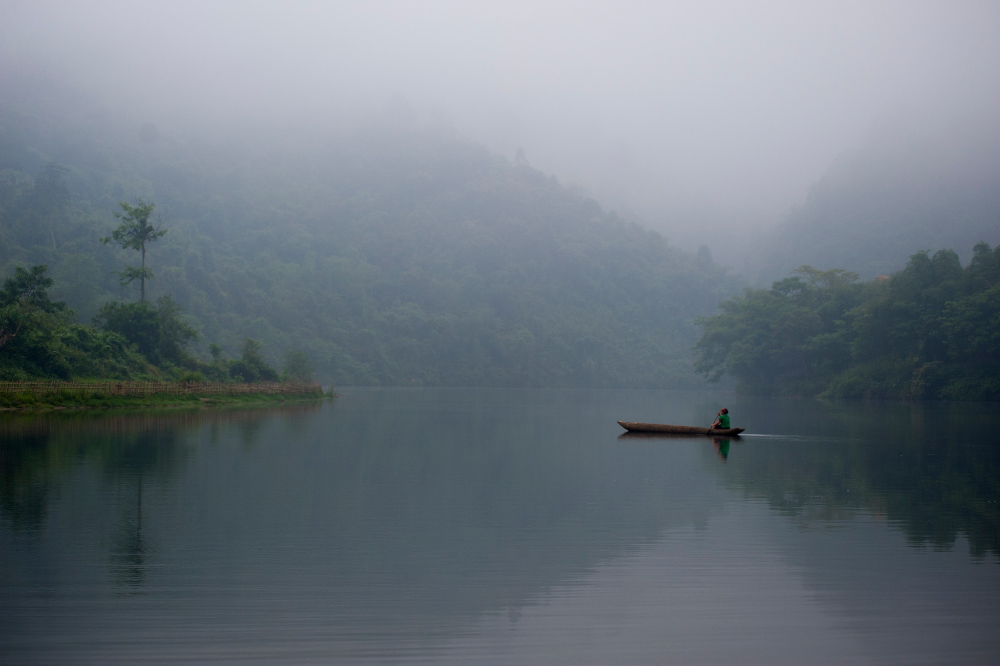
Boats sailing upstream on the Giang River. Photo: Nhat ThanhBoat trip on the Giang River. Photo: Nguyen's book.Fishing on the Giang River. Photo: Sach Nguyen
Today, Mon Son has nearly 2,400 households with 9,600 people, belonging to 14 villages. They live mainly around the Muong Qua valley, unlike the two Dan Lai villages, which mainly live in the Bung and Khang streams upstream of the Giang River.
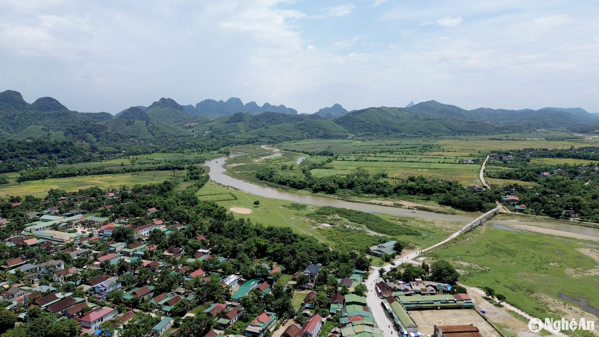
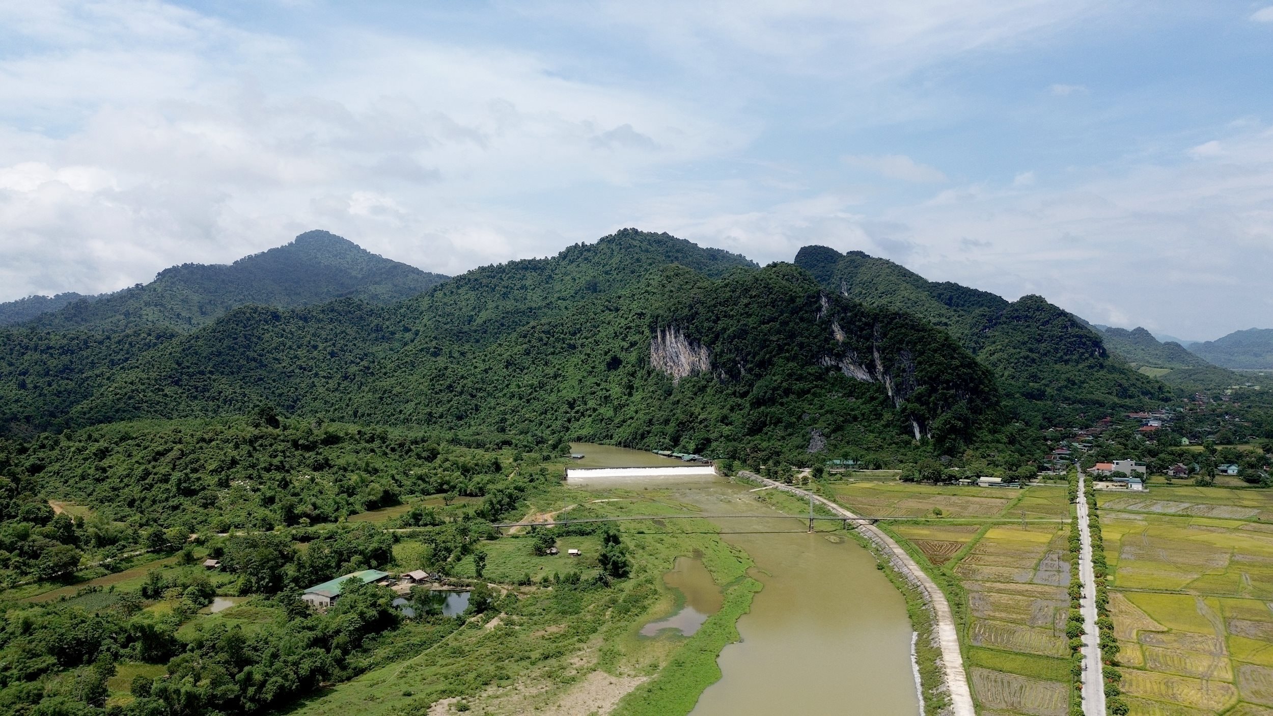
The Muong Qua Valley is bordered by the winding Giang River. Photo: Tien Dong
"Muong Qua" is a Thai place name, now belonging to Mon Son and Luc Da communes. The formation of the place name Muong Qua is linked to the migrations of the Thai community from the North to Nghe An province hundreds of years ago.
According to researcher Quan Vi Mien, the place name "Muong Qua" has existed for a very long time. This place name was mentioned in the epic of the Thai people of mainland Southeast Asia around the 11th-12th centuries, namely the Khun Chuong epic.In this epic, Khun Chuong, the chieftain of the Thai people, conquered the land of Tao Qua – the leader of the Pak Can people (belonging to the Mon-Khmer ethnic group), the Lan Xang region (Laos) bordering present-day western Nghe An province.
According to legend, during the Ly Dynasty, recognizing the potential of the Con Cuong area, its sparse population, and its strategically important location (bordering Laos), Ly Nhat Quang recruited people and soldiers to establish a fort, cultivate the land, and create villages.
"
Twisting the boat's stretcher, creating a crow. Clam shells pả phảy tòng liệp nặm pả phảy đáng pun Xai mun lộn xai hảo đú lạc Phac a phac moong Lao.
Translation:Raise your hand towards the middle of the Crow Field Seeing the bamboo forest along the riverbank (Giang), the bamboo forest is thriving. The fine sand mixed with white sand looks so beautiful! On that side is Muong Lao.
- Epic of Trong Muong
By the mid-15th century, when Le Loi's rebel army had to retreat to Nghe An to build and consolidate its forces, during the siege of Tra Lan citadel, in response to the spirit of the Lam Son rebels, people of various ethnic groups enthusiastically joined the army, providing elephants, horses, weapons, and provisions, joining forces with the rebels to fight the enemy.
Towards the end of the Nguyen Dynasty, when the French colonialists began their invasion of Vietnam, in 1885, King Ham Nghi issued the Can Vuong decree calling on the people to resist the French. Responding to the Can Vuong decree, the scholar Le Doan Nha chose the Con Cuong and Anh Son areas as his base of operations. There, Le Doan Nha received strong support from the Thai chieftain of Mon Son, Lang Van Ut – also known as Hau Bong.
The Muong Qua region has made many contributions to the country's struggle against foreign invaders. Photo: Tien Dong
With the cooperation of Lang Van Ut and the Thai tribal chiefs, Le Doan Nha's rebel army controlled most of the French colonialists' supply route from the lowlands to the mountains via Route 7. At this time, the rebel army controlled a vast area from Anh Son district to Con Cuong district and fought many battles that caused panic and fear among the enemy.
Later, when the Communist Party of Vietnam was founded, under the direction of the Central Committee of the Central Region, the first Party branch of the ethnic minorities in Nghe An was established in Mon Son in April 1931, with Comrade Vi Van Khang as its secretary. On the night of September 14, 1931, to protest the revolutionary repression by the French colonialists, Vi Van Khang led the people of Mon Son in a large-scale demonstration with 300 people at the Con Chua banyan tree, creating a great impact.
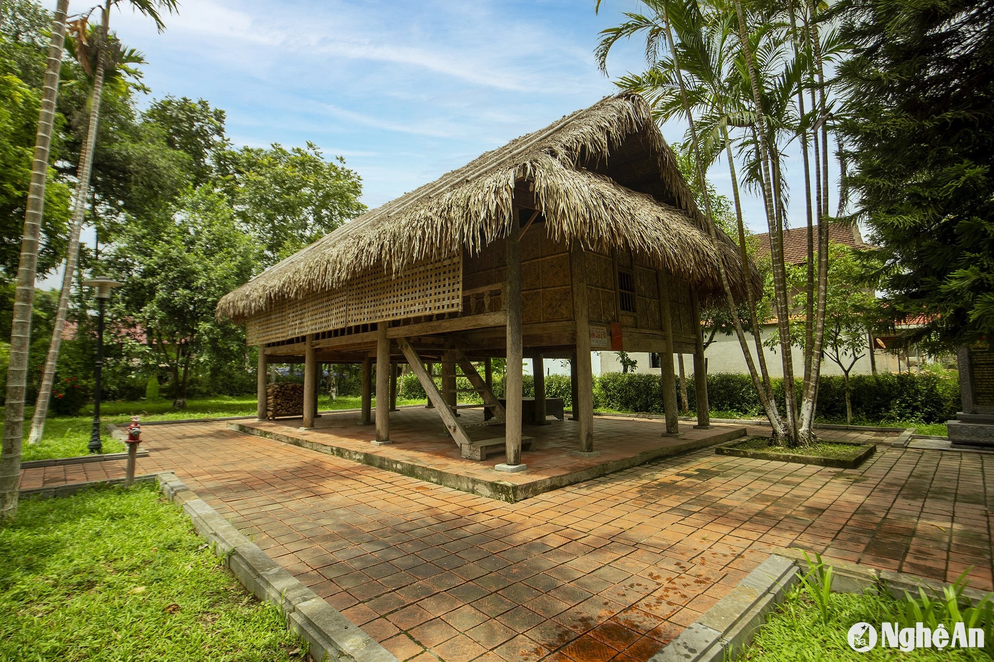
The Vi Văn Khang Memorial House in Môn Sơn commune. Photo: Nguyễn Đạo
Today, both the house of Mr. Vi Van Khang and the banyan tree at Con Chua in Mon Son have been recognized as historical relics, becoming significant landmarks in the education of patriotic and revolutionary traditions in this Muong Qua land.
...to the fragrant rice grains of Muong Qua
Located on the banks of the Giang River, the Muong Qua valley is often irrigated by fertile alluvial soil. According to the age-old stories of the Thai people in this land, the person who made a great contribution to developing the Muong Qua rice fields with their plump, ripe grains was Hau Bong - a revolutionary patriot Lang Van Ut, who was also a respected Thai chieftain at the time.
He also called upon the people of Phu Quy to help dig a 3km long canal from Met village (Luc Da) to Xieng village (Mon Son), 5m wide and 4m deep, called the Phai Lo canal or Pun canal. Currently, this canal is still used by the people of Khe Lo, Cang, and Xieng villages. When he passed away, the people erected a temple, called the Pun temple, to commemorate him.
The Giang River winds around Pha Lai - also known as Len Hoa. Photo: Tien Dong
Today, the Muong Qua rice field, spanning over 700 hectares and surrounded by towering rocky mountains, is the source of the famously delicious rice of Con Cuong. Folklore still preserves the saying, "Muong Qua rice, Giang River fish," a concise summary of a region rich in identity and steeped in history and culture.
The people of Mon Son say that the fish from the Giang River are delicious because they thrive and frolic in the freshwater springs that flow through rocky crevices in the heart of the Pu Mat forest. This water then flows into the rice fields, irrigating the rice plants, helping them grow strong, producing plump grains, and giving the rice its fragrant, chewy flavor of the mountains and forests.
Folklore also serves as evidence of a fertile countryside blessed by nature, creating unique values within the western region of Nghe An.
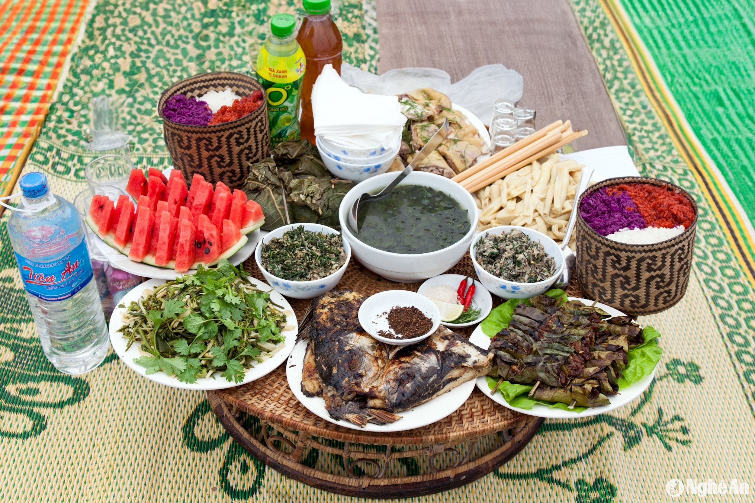
A traditional meal of the people of Mon Son. Photo: Sach Nguyen
Mr. Le Thanh Hai, Secretary of the Party Committee of Mon Son commune, also boasted to me that, during the recent spring rice crop season, the people in Muong Qua field planted over 360 hectares, yielding 2,415.6 tons and generating tens of billions of dong in economic value.
In particular, with its existing potential, Mon Son is focusing on investing in the development of ecotourism and community-based tourism associated with historical and cultural sites. This includes a focus on Xieng village and the Pha Lai dam area.
According to Mr. Hai, through training courses and support programs, local people have learned and received guidance on tourism skills to serve tourists. In addition, they have been able to connect and cooperate with tourism businesses, contributing to increased income from tourism activities while still preserving the unique cultural identity of their locality.
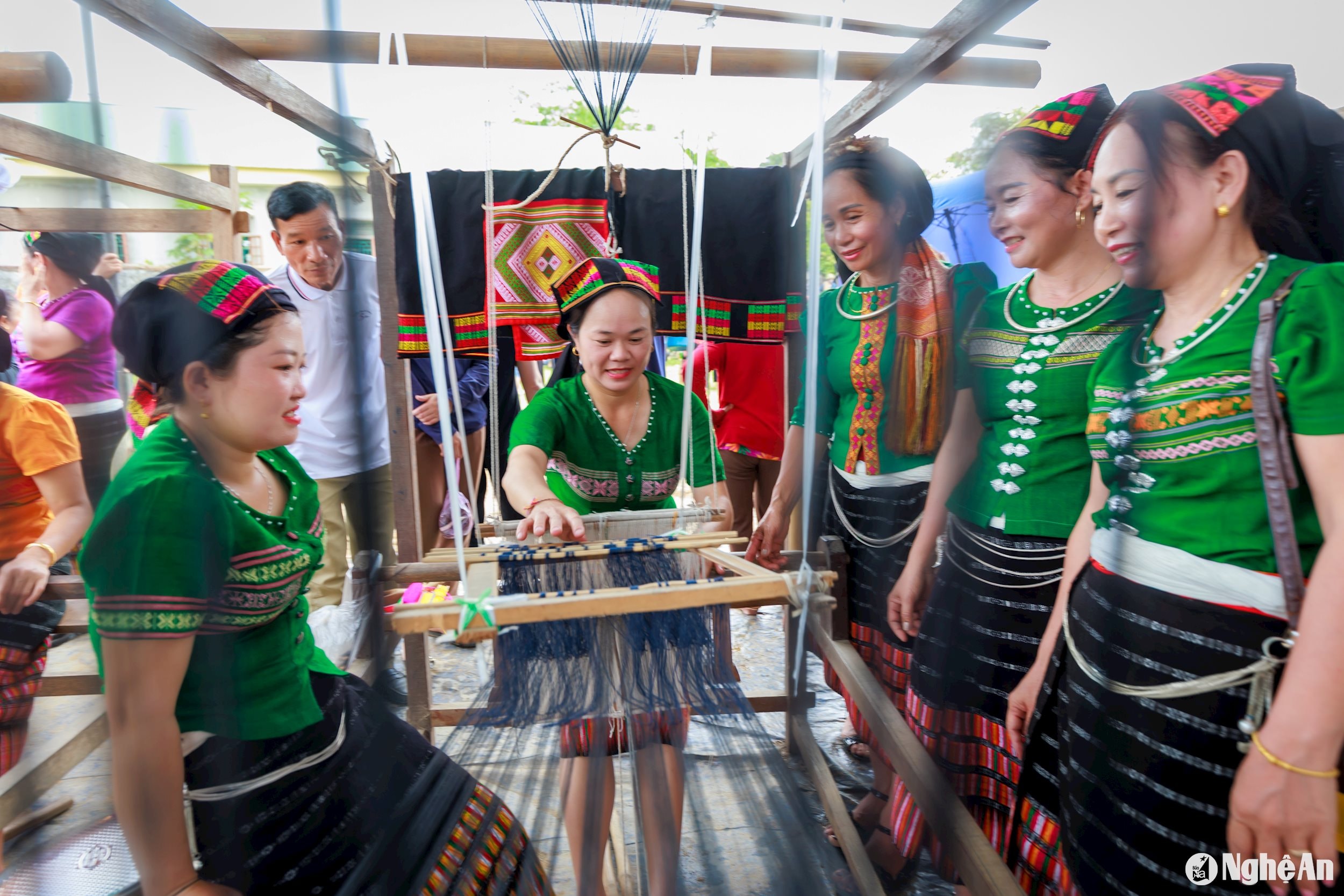
Weaving brocade in Mon Son. Photo: Nguyen's book.
In particular, in recent years, the local authorities have coordinated the organization of many highland markets under the name "Muong Qua Market," attracting thousands of visitors to explore and shop for a wide variety of goods. This has contributed to spreading the cultural values of this land.
However, developing ecotourism and community-based tourism in this area still requires much work. First and foremost, there must be investment in infrastructure and facilities that serve not only tourism but also the livelihoods of the local people. Along with that is the task of preserving natural resources, respecting the environment and existing traditional values, and building a chain of branded tourism products. These could be linked to the Giang River's "catfish" and the "rice bowl of Muong Qua," as the folk song still circulates.
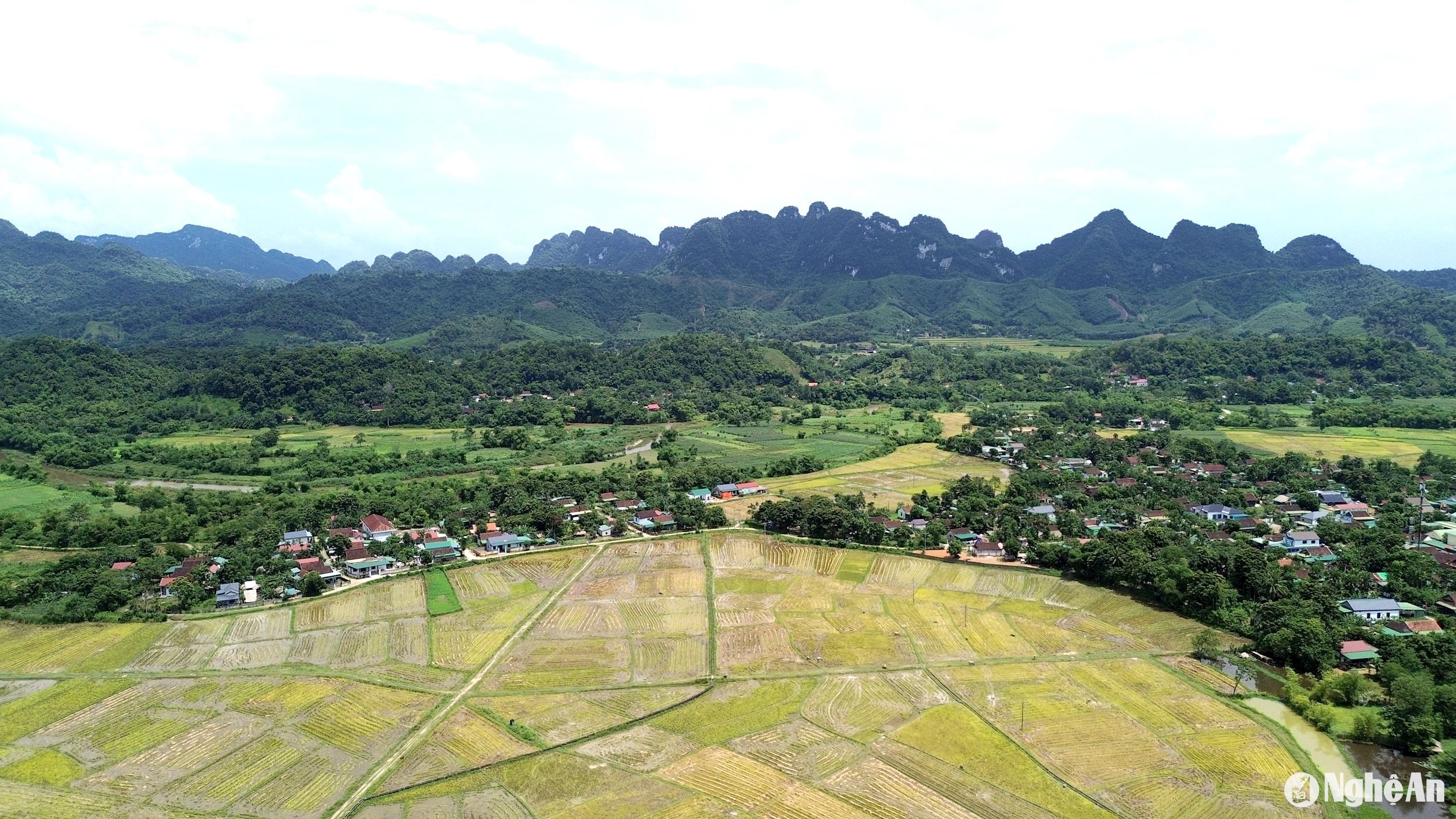
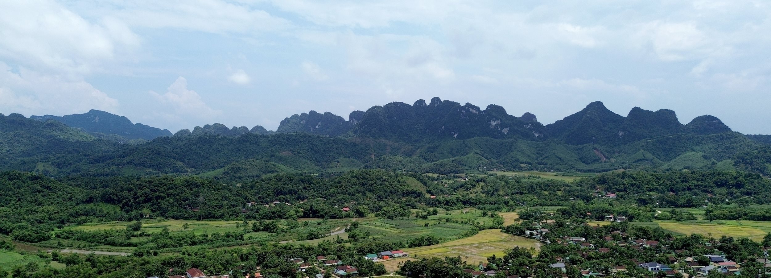
The undulating mountain ranges surround the Muong Qua valley. Photo: Tien Dong
Leaving Mon Son, leaving the Muong Qua valley, as the roaring sound of the waterfalls on the Giang River faded into the distance, I kept thinking: with the buffer zone of Pu Mat National Park, one of the most important biosphere reserves in Vietnam and the world, what this land needs to take off is perhaps large-scale tourism projects and truly capable investors, just like how Pu Luong – a nature reserve in Thanh Hoa – has done in recent years...