Heavy rain forecast from Nghe An to Quang Ngai
According to the National Center for Meteorological and Hydrological Forecasting, from early morning on October 19th until the end of the night of October 19th, the area from Nghe An to Quang Ngai will experience moderate to heavy rain, with some areas experiencing very heavy rain and thunderstorms.
Rainfall patterns over the past 24 hours:Last night and early this morning (October 19th), the area from Thanh Hoa to Quang Ngai experienced showers and scattered thunderstorms, with some areas experiencing heavy rain. Rainfall amounts from 7 PM on October 18th to 3 AM on October 19th exceeded 50mm in some areas, such as: Mai Lam station (Thanh Hoa) 77mm, Nong Truong 15 station (Nghe An) 119.2mm, Dien Truong Industrial Cluster Head station (Quang Ngai) 57.2mm, etc.
Heavy rain forecast for the next 24-48 hours:From early morning on October 19th until the end of the night on October 19th, moderate to heavy rain, with localized very heavy rain and thunderstorms, occurred in the area from Nghe An to Quang Ngai. The common rainfall amount in the area from southern Quang Tri to Quang Ngai was 60-120mm, with localized areas exceeding 220mm; in Nghe An to northern Quang Tri, the amount was 40-80mm, with localized areas exceeding 150mm. A warning was issued for heavy rainfall intensity: >80mm/3h.
During thunderstorms, there is a possibility of tornadoes, lightning, hail, and strong gusts of wind.
Warning:From October 20th onwards, heavy rainfall in the area is expected to gradually decrease.
Level of risk from natural disasters such as heavy rain, tornadoes, lightning, and hail:Level 1.
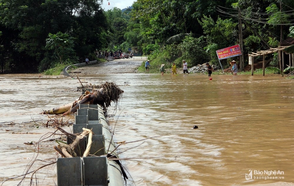
Predicted impact:Heavy rains can cause: Flooding in low-lying areas, urban areas, and industrial zones; Flash floods on small rivers and streams; Landslides on slopes. During thunderstorms, there is still a possibility of tornadoes, lightning, hail, and strong gusts of wind.