Decoding the reasons why 1,000 ships in the Middle East are 'blind' to GPS navigation.
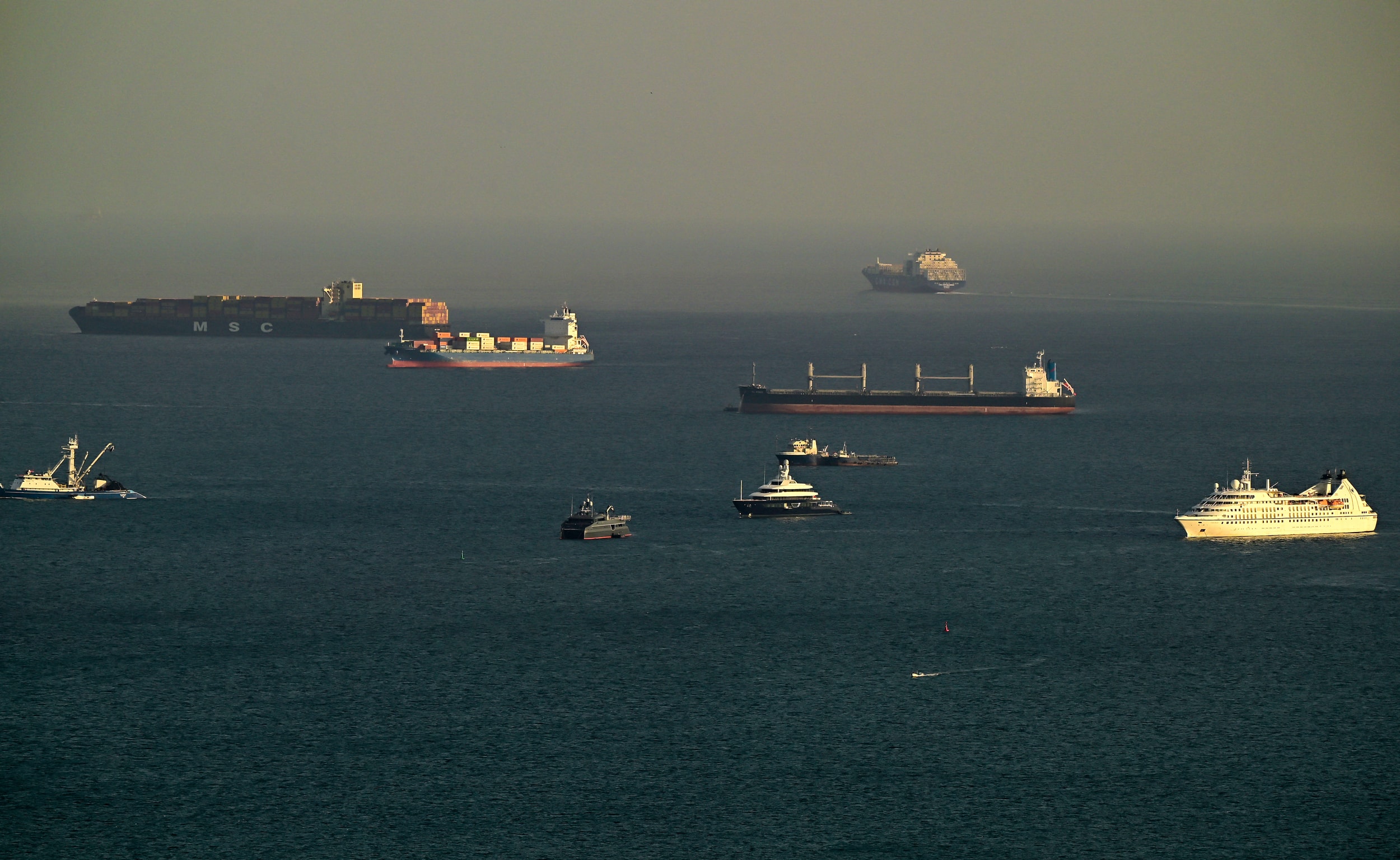
Since the start of the US-Israel coalition's airstrike campaign against Iran, approximately 1,000 commercial vessels and oil tankers in the Gulf region have lost their satellite navigation signals. Experts believe the root cause stems not only from the intense electronic warfare tactics, but also from the fact that the GPS systems on these ships are actually more outdated than smartphones.
The navigation system is inferior to that of a mobile phone.
According to Dimitris Ampatzidis, a senior risk analyst at energy market intelligence firm Kpler, the disruption to navigation signals is affecting about half of the vessels operating in the region, mostly off the coasts of the United Arab Emirates (UAE) and Oman.
Professor Todd Humphreys, an engineering professor at the University of Texas at Austin, explains that modern smartphones can receive signals from four global satellite systems: GPS (USA), Galileo (Europe), GLONASS (Russia), and Beidou (China), across multiple frequency bands. In contrast, many ships today still rely on the original civilian GPS signal called L1 C/A, which has been around since the early 1990s.
The sole reliance on an outdated system leaves ships completely helpless when subjected to interference, as they cannot switch to backup systems like Beidou or Galileo.
The situation is even more serious in the aviation industry, where stringent regulations have resulted in integrated GPS systems on commercial aircraft lagging behind current technology by up to 15 years.
Signal jamming and coordinate manipulation tactics
In the modern warfare environment, jamming is not complicated at all. According to expert Katherine Dunn, all a party needs to do is use a radio transmitter that emits the same frequency but with higher intensity to create a "wall of interference," blocking signals from satellites.
However, a more sophisticated and dangerous threat lies in coordinate spoofing. This technique directly manipulates the Automatic Identification System (AIS) – where ships constantly transmit messages about their identity, destination, and location. When subjected to spoofing, the ship automatically sends out false or illogical coordinates, causing surveillance radar screens to display images of the vessels deep inland in Iran or the UAE.
Returning to 20th-century maritime technology
GPS signals are now used not only for navigation, but also as a vital data source for operating ship clocks, radar systems, and speedometers.
Therefore, even if ships off the coast of Kuwait or the UAE are safely escorted through the Strait of Hormuz and not attacked by drones, traveling without GPS still poses extremely high risks.
A commercial ship captain revealed to AFP that, given the enormous size of modern vessels, the assistance of electronic equipment is a mandatory requirement for safe navigation. When the navigation system fails, crews are forced to revert to 20th-century navigation methods, relying primarily on manual radar or visual observation of landmarks.
Civilian sacrifice for air defense
Observers assert that jamming is currently being used for both offensive and defensive purposes. Gulf states are proactively directing jamming systems toward their coastlines to intercept Iran's Shahed suicide drones. They accept this as a price to pay, even though it causes serious disruption to civilian life.
Professor Humphreys emphasized that governments are willing to sacrifice the convenience of air and sea transport, or even delivery and dating apps, for national security. This scenario has already occurred, with Israel continuously jamming signals throughout 2024, and Iran employing a similar tactic during its brief conflict with Tel Aviv last year.
While startups are working to develop alternative navigation technologies based on the Earth's magnetic field or inertia, the reality is that the day when commercial ships can operate safely without GPS satellites is still a long way off.