


According to many hydrometeorological experts, flash floods are extreme flow phenomena when a huge volume of water moves rapidly from high to low terrain. Because the fast-flowing water carries many materials such as soil, rocks, and trees along the way, it has great destructive power. That is why it is considered a dangerous form of "disaster" that can severely devastate mountainous areas, where this type of natural disaster often occurs.
The flash flood area in the mountainous area of Nghe An is divided into two areas: the right bank and the left bank of the Ca River system. In which, the left bank includes the districts of Que Phong, Quy Chau, Tan Ky, Quy Hop, a part of the Northwest of Tuong Duong, Ky Son, Con Cuong, Anh Son districts; the right bank of the Ca River includes the Southwest of Ky Son and Tuong Duong districts. The concentration of flash flood areas is uneven, reaching a very high density in Tuong Duong district (communes of Yen Na, Yen Tinh, Yen Hoa), and the South of Que Phong district (Nam Giai, Tri Le)...
To warn of floods and rains, on the Ca River system in Vietnam, there are many monitoring stations, meteorological and hydrological stations arranged along the Ca River and its tributaries, providing relatively accurate forecasts of floods and rains. However, according to Mr. Nguyen Xuan Tien - Deputy Director of the North Central Region Hydrometeorological Station, currently the furthest point to set up a hydrometeorological station is in Muong Xen town (Ky Son), while the large Ca River basin located in Laos does not have any monitoring stations, exchanging information and data to warn of floods and rains is very difficult. Even the radar system can only scan within a range of 300 km, and it is not possible to give early warnings in a further range.

According to Mr. Tien, the development of science and technology has allowed us to provide early warning of floods, flash floods, and landslides through satellite photography and projection of terrain or the construction of warning stations. However, the cost of this solution is very high, so it is still very difficult to implement. Finding an effective solution to prevent flash floods is also a big challenge, because this type of natural disaster often appears unexpectedly and is not fixed in one location. Therefore, one of the immediate solutions to minimize the risk of damage caused by flash floods is to provide early warning and move people away from small streams and steep slopes. In addition, propaganda work to raise awareness of flash floods and landslide prevention in mountainous districts needs to be deployed regularly and promptly to each village, hamlet and household.
Mr. Phan Trong Dung - Head of the Department of Agriculture and Rural Development of Que Phong district said that the locality has many areas on "red alert" for flash floods such as: Tri Le, Thong Thu, Nam Giai, Nam Nhoong, Quang Phong. This is a worrying reality, because the mountainous terrain has a large slope, so when floods occur, they often cause serious consequences to people and property. In Que Phong district, after the flash flood that killed 13 people in Nam Giai commune in 2007, people in the flash flood area were proactively relocated to higher ground, so the risk of damage caused by flash floods was also reduced.
Mr. Nguyen Truong Thanh - Head of the Provincial Irrigation Department said: "Currently, it is very difficult to give the closest warning on a small scale in areas at risk of flash floods and landslides. The warning level can only be determined by area based on the amount of rainfall measured in a short period of time. Because in reality, we do not have modern means to give early warning to local authorities to know and take precautions. In the long term, Nghe An has also repeatedly recommended that the Central Government prioritize capital allocation to promptly relocate and stabilize the lives of people in areas at high risk of flash floods and landslides, in order to ensure life and production, and minimize damage caused by natural disasters in these areas."

Thanh Chuong district is a locality that is heavily flooded every year. Mr. Le Dinh Thanh - Vice Chairman of Thanh Chuong District People's Committee said: In fact, it is very difficult to have a sustainable and long-term flood prevention and control plan in the district, because the terrain structure of the localities, especially the flood center, cannot be changed. The drainage in these areas depends entirely on the Lam River; however, in recent floods, the water level in the river was at times equal to, or even higher than inland, so drainage was not easy, so people had to live with and find ways to adapt to the floods.
In fact, people in Bich Hao - lower district have had experience living with floods and storms for generations, so they have proactively prepared plans whenever there is an announcement of unusual weather.
The most feasible plan to cope with the rainy and stormy season is for the district to thoroughly instruct all units and localities to effectively implement the motto of "4 on-site" and "3 ready". In which, proactive flood prevention and control plans are the most important.

In Hung Nguyen district, the construction of huts and self-rescue islets to adapt to the rainy and stormy season has been continuously carried out by households living outside Ta Lam dike in recent years. According to statistics of Chau Nhan commune, the whole commune has 73 poor and near-poor households supported by the State to build flood-proof huts. Although the construction has been going on for about 10 years, the huts have been effective so far. During the recent flood, most of the people in Chau Nhan commune did not have to bring their assets and livestock to the dike to avoid the flood like in previous years, but instead moved to the huts to live and ensure safety.
Mr. Phan Dinh Hoan - Vice Chairman of Chau Nhan Commune People's Committee said: In addition to poor and near-poor households building huts to avoid floods, in recent years, many households in the commune have proactively worked to save money and borrow money to build high-rise houses that are very useful during the rainy and flood season, so people no longer have to evacuate to avoid floods like before but can stay and live safely on the upper floors and attics during the flood season.
Mr. Hoang Anh Tien - Vice Chairman of Hung Nguyen District People's Committee added: The flood prevention plan in the district is clearly divided into regions. For localities living along Lam River, where flooding occurs every year and is unavoidable, the most feasible solution is to proactively monitor the weather, move assets and livestock to high places to ensure safety. If any household does not have a high floor, attic, or hut, they can proactively move their assets to Ta Lam dike to avoid floods.
For the central communes, the locality is focusing on directing dredging and clearing the irrigation system, at the same time, recommending to all levels to invest in upgrading the Hoang Can dyke and T16 canal to prevent flooding for the central communes of the district. For the communes bordering Nghi Loc district, the district has a plan to build a dyke through Hung Trung commune to prevent flooding for this area, however, this project requires a very large budget so the district has not been able to implement it.
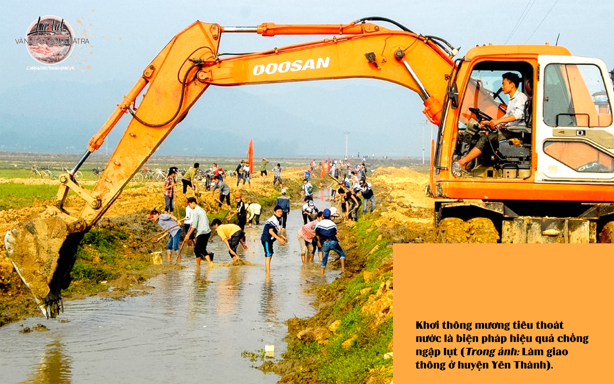

In the long term, downstream, to limit flooding, it is necessary to invest in upgrading infrastructure to separate floods. For drainage canal systems, it is necessary to dredge and clear the flows, restoring the cross-section to ensure flood drainage. For weak flood prevention dyke systems, it is necessary to urgently complete the upgrade. For low-lying areas, when the dyke and river dyke systems are guaranteed, it is necessary to build a drainage pumping system to proactively pump and drain water.
In Hoang Mai town, in 2020, the Provincial People's Committee issued a decision approving the Feasibility Study Report of Sub-project 3: Improving Hoang Mai urban infrastructure, under the Urban Infrastructure Improvement Project to minimize the impact of climate change for 4 coastal provinces of North Central Vietnam, using loans from the French Development Agency. This is expected to help improve the drainage capacity of Hoang Mai town. There was even an idea to dig a canal across National Highway 1A to straighten the Hoang Mai River right at Thinh My block, Quynh Thien ward. However, although it has not been implemented, this idea has suggested to local authorities and relevant departments and branches solutions to minimize flooding here as in recent years.
In particular, on October 11, in Quynh Luu district, the General Department of Natural Disaster Prevention and Control of the Ministry of Agriculture and Rural Development coordinated with the People's Committee of Quynh Luu district and Hoang Mai town to organize a workshop on the results of research and assessment of the flood situation in the downstream area - Hoang Mai river basin, Thai river and proposed solutions in directing and operating natural disaster prevention and control. From the research results of the Institute of Environmental Hydrology and Climate Change of the University of Water Resources, the workshop proposed a number of solutions that have also been proposed by researchers and local authorities such as: Building a dyke to protect the flooded area of Vuc Mau lake in Tan Thang and Quynh Thang communes (Quynh Luu); Dredging Hoang Mai river to increase flood drainage capacity from the railway (Quynh Vinh and Quynh Trang communes) to the river mouth; Digging a flood drainage channel from Hoang Mai river to tributary No. 3 of the river in Quynh Di ward (Hoang Mai town); Upgrading Quynh Di dyke; Building a warning system…
For the downstream area of the Thai River flowing through Quynh Luu District, the Workshop proposed dredging the Ben Hai - Hoi Muong - Phu Sy drainage canal to reduce flooding in Quynh Van Commune; Dredging the Thai River; Upgrading and reinforcing the Thai River dike from Cau Giat Town to the river mouth... However, to realize the solutions proposed by the workshop, the estimated cost of implementation is up to 1,640 billion VND, this is a figure that requires local authorities at all levels to consider when making investments.
In short, to prevent and minimize damage to natural disasters and floods in Nghe An in particular, it is always necessary to do it promptly with the decisive participation of all levels, sectors, localities and the people themselves; at the same time, it is necessary to effectively utilize the attention and support from the Central Government and other resources.
