

New landslides have appeared on National Highway 16.
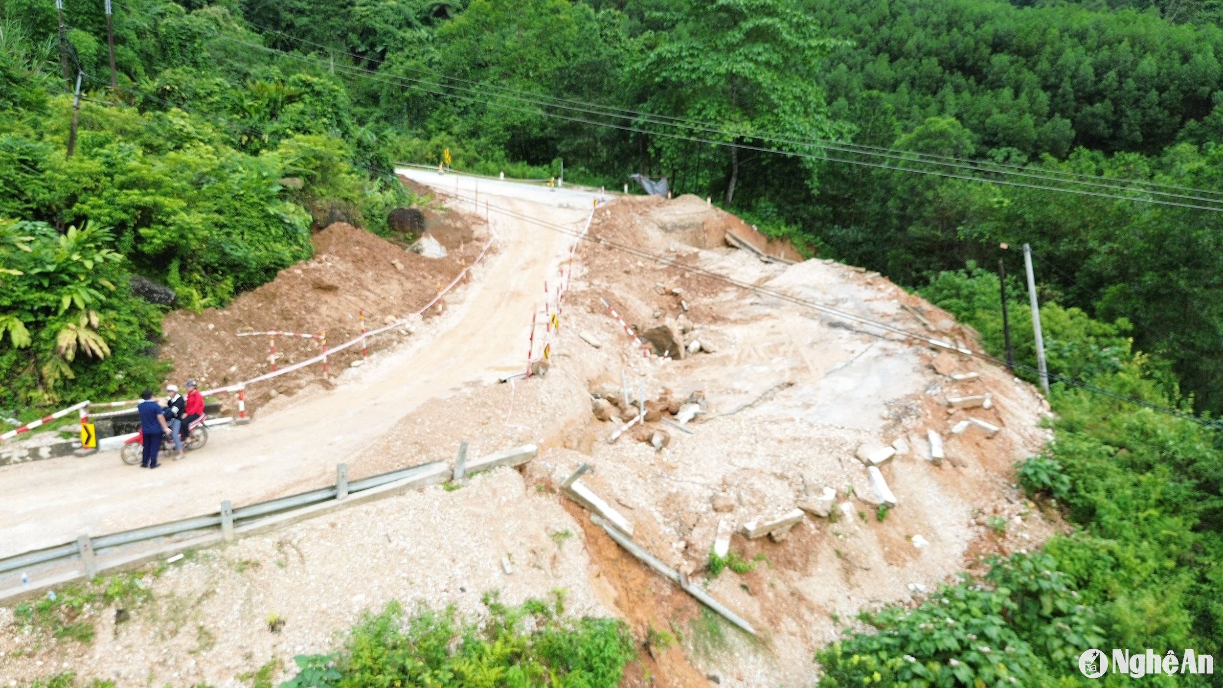
While the old subsidence point on National Highway 16 in Que Phong district is showing signs of further sinking, a new landslide has appeared about 200 meters away, damaging the embankment and causing soil and rocks to pile up on the road.
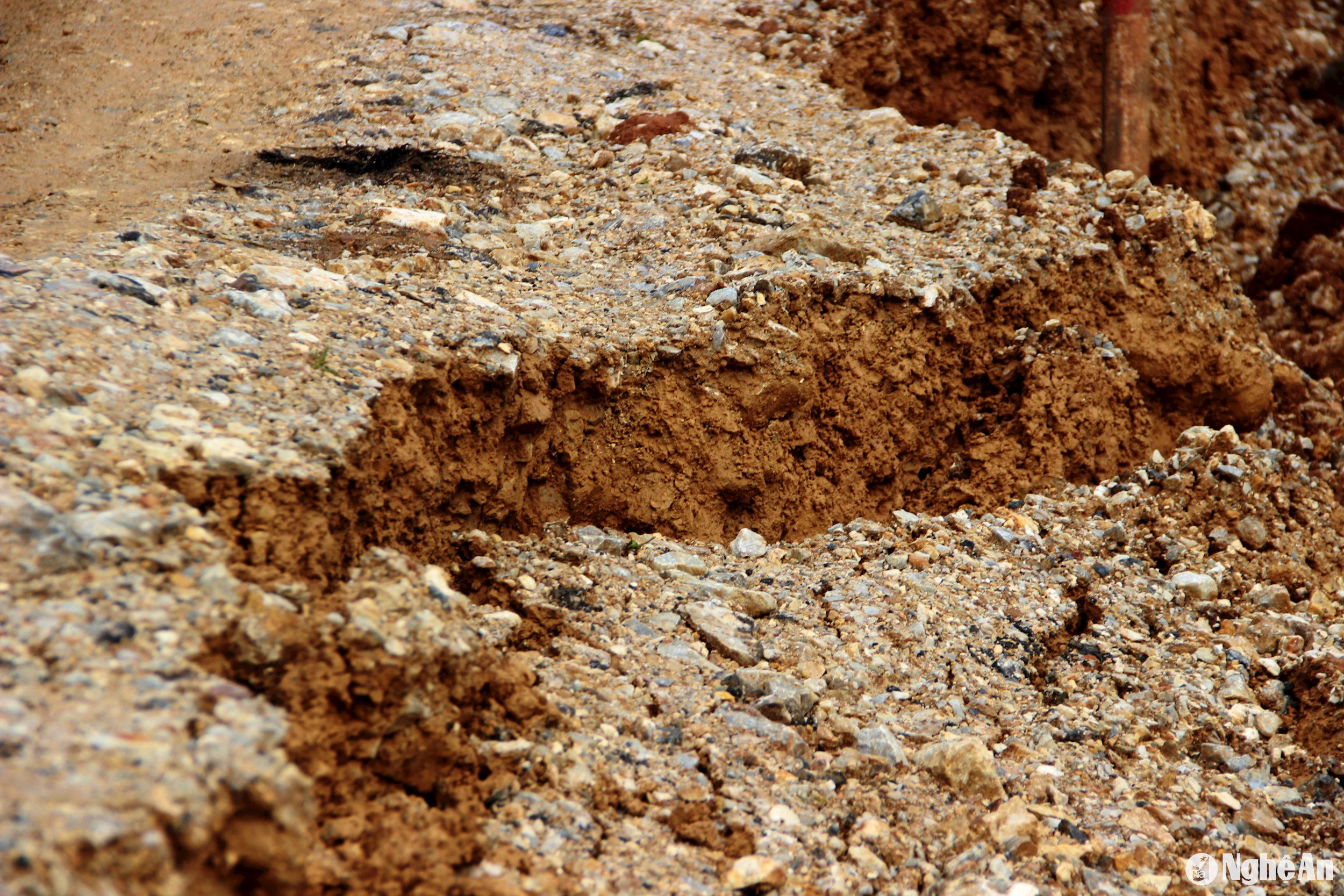
According to reporters' observations on the morning of July 19th, the ground in the subsidence area on National Highway 16 is still showing signs of further subsidence. In addition, the temporary road that was completed in recent days has also developed cracks, and the soil has become soft and weak after prolonged rainfall.
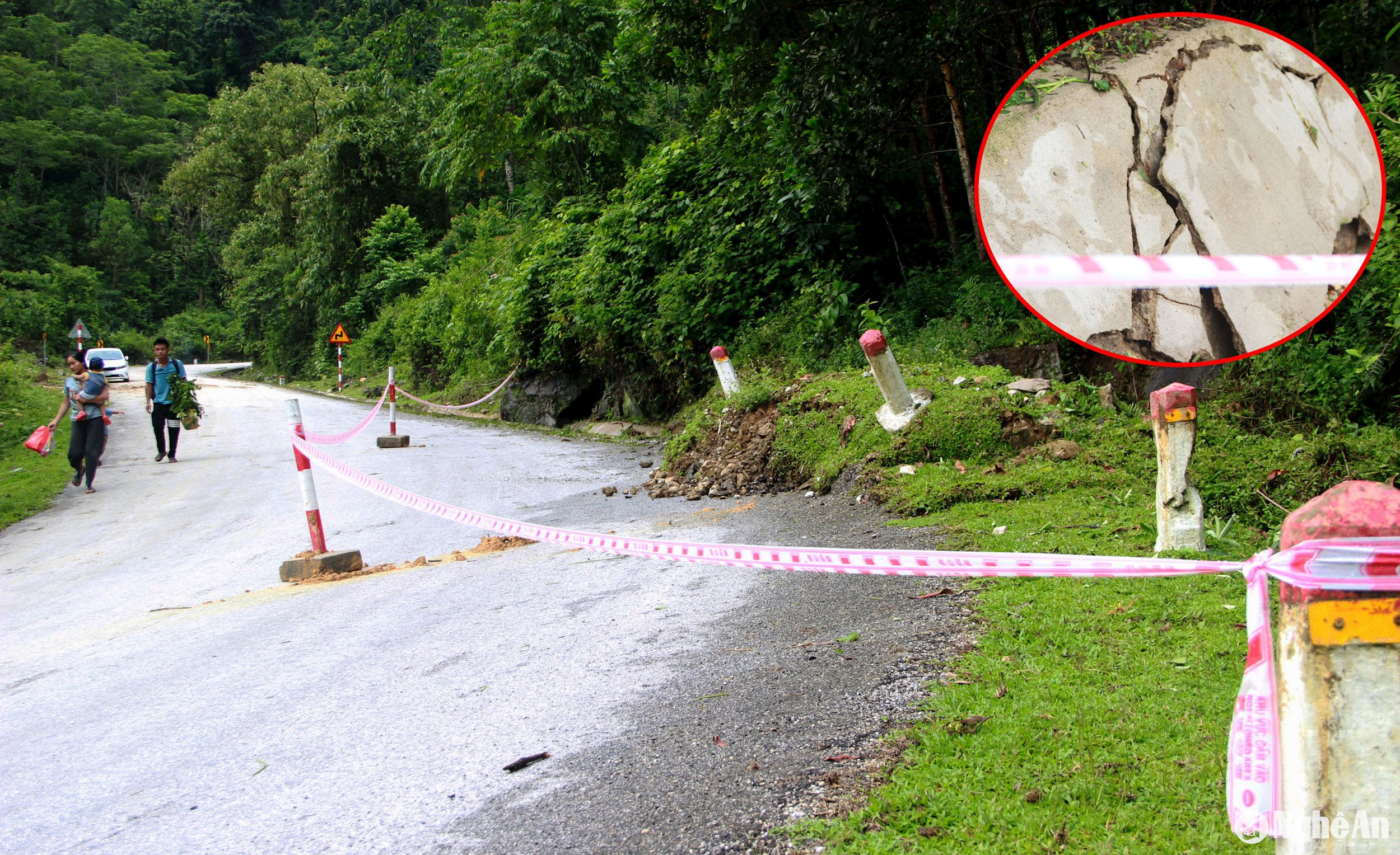
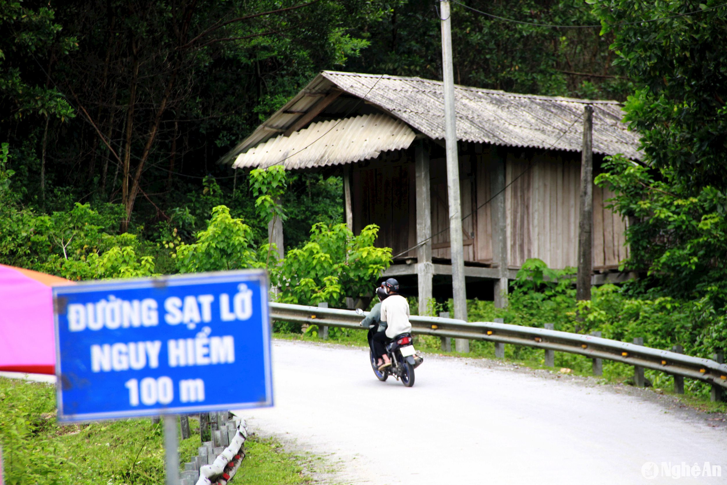
Of concern is that approximately 200 meters downstream from the subsidence area at Km264+700/QL16, soil and rocks from the roadside have piled up, overflowing onto the road, damaging the embankment, and posing a risk of new damage appearing on National Highway 16. Authorities have also put up warning signs in this area.
Regarding traffic safety, as observed by reporters on the morning of July 19th, at checkpoints along National Highway 16, near the subsidence point at Km264+700/QL16, authorities were working from very early in the morning to prevent people from passing through the dangerous area. Barriers, warning signs, and traffic lights have also been fully installed so that people can observe from a distance.
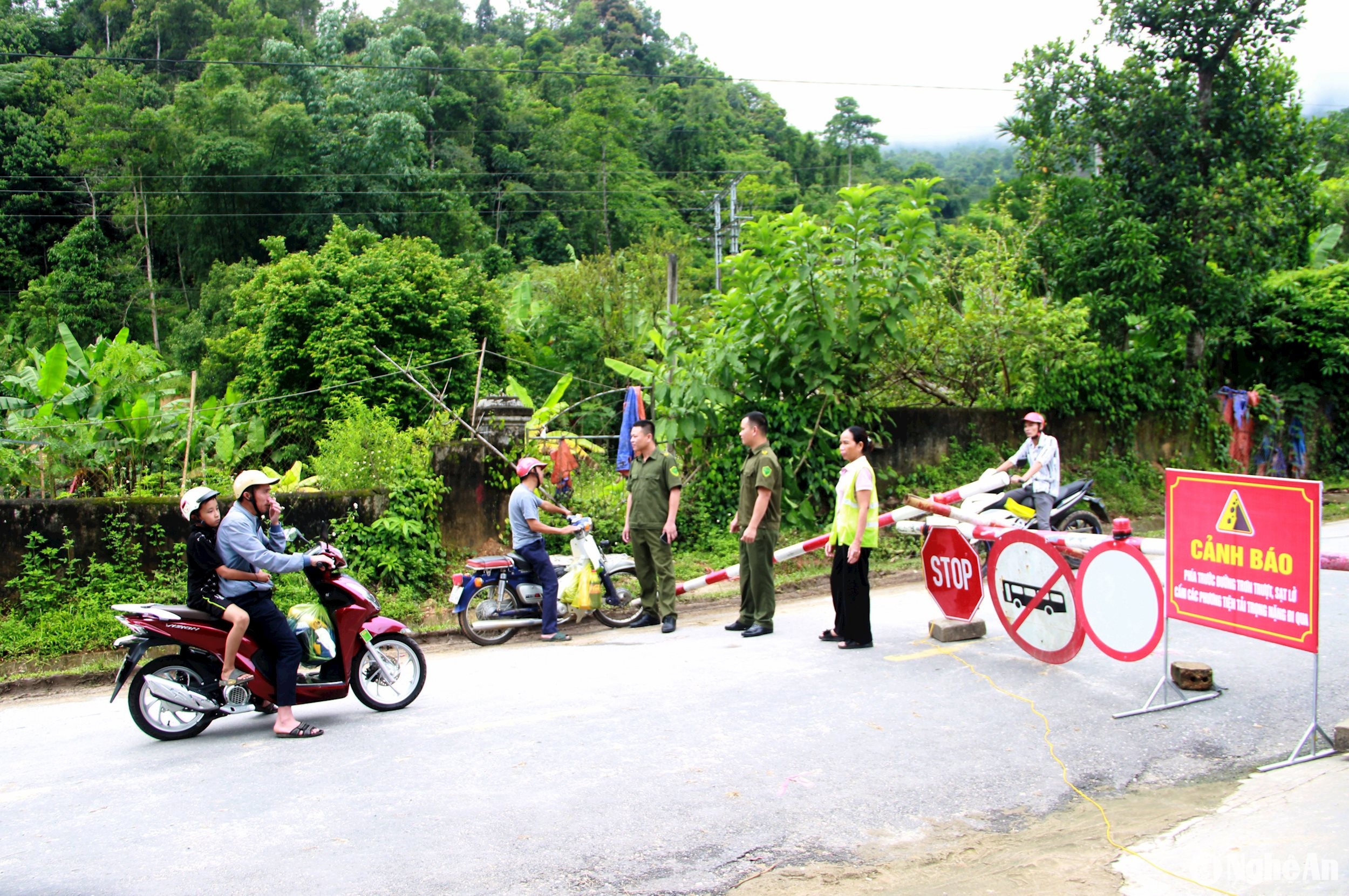
However, because the road closure began on the evening of July 18th, many residents were unaware of the situation and continued to travel near the sinkhole on the morning of July 19th.
Ms. Lang Thi Van from Tien Phong commune, Que Phong district, said: "Today, my family had to go to a relative's house in Tri Le commune, and we had to pass through Doc Chuoi. Although I knew there was a sinkhole, I didn't know the road was closed. I thought we could still use the temporary road as before. After the officers on duty explained, we turned around and took another route according to regulations to ensure safety."
Ms. Lim Thi Kim, a worker at the Que Phong Traffic Management Unit assigned to the checkpoint, said: "The road closure took place at 5:30 PM yesterday (July 18th). People in the highlands may not have had time to update the information because they don't use smartphones or don't have internet access, so on the morning of July 19th, many people came to the checkpoint to ask to pass through."
However, strictly following instructions, we are determined to prevent people from passing through the checkpoint to reach the dangerous area. Except in cases of unavoidable illness, we will facilitate their access to the hospital as soon as possible.
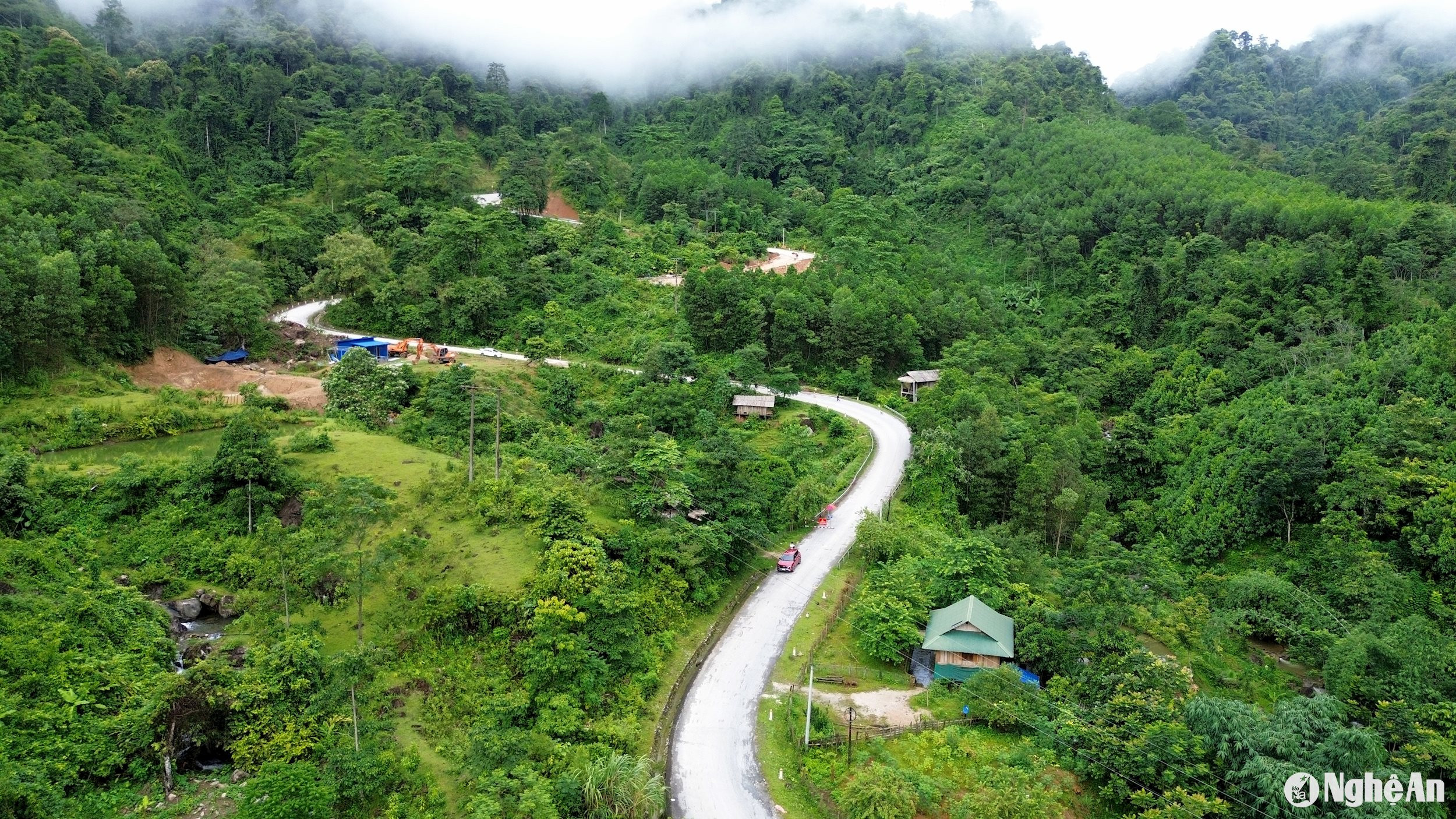
In Document No. 2688/SGTVT-BQLBT dated July 18th, the Department of Transport also provided specific guidance on traffic organization for the route from Kim Son town to Chau Thon commune, Que Phong district and vice versa. Specifically: From Kim Son town, follow National Highway 16 towards National Highway 48 (or Provincial Road 544B towards National Highway 48), continue along National Highway 48, at Km 91+900/National Highway 48 turn right onto Provincial Road 544, at Km 21+00/Provincial Road 544 turn right onto National Highway 48D, at Km 158+00 continue along the old Provincial Road 544 to Km 270+100/National Highway 16 (Chau Thon commune) and vice versa.
This alternative route may take many hours longer than going over the sinkhole, however, it is a necessary solution for residents to ensure the safety of their lives and property.
Mr. Bui Van Hien, Vice Chairman of the People's Committee of Que Phong district, said: Immediately after receiving the provincial document, the district widely disseminated information about the traffic management plan for National Highway 16 via loudspeakers so that the people would be aware; promoting safe traffic flow, with a focus on requiring people participating in traffic on National Highway 16 to strictly comply with the instructions and regulations of the checkpoints and traffic controllers.
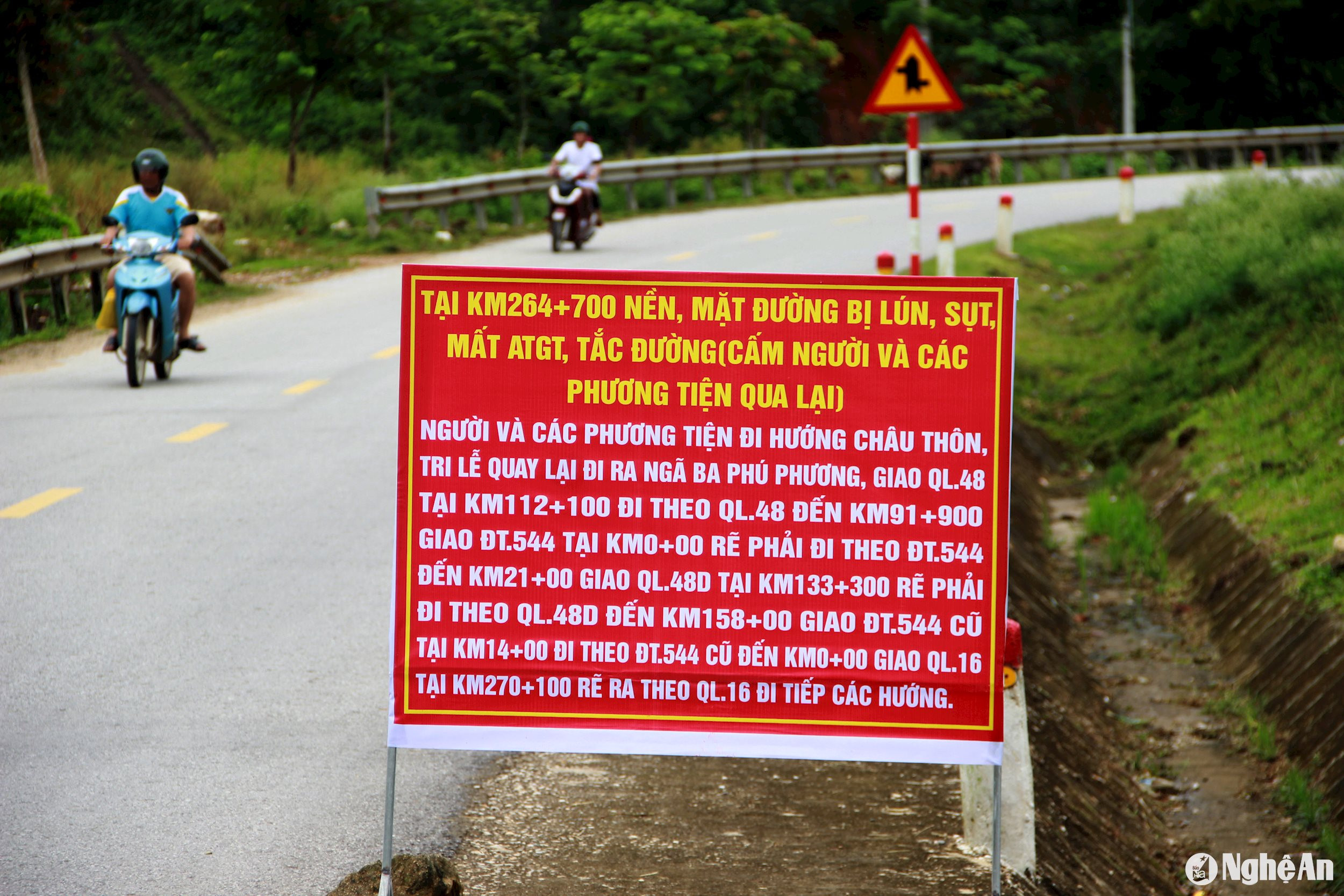
Specifically, the People's Committees of Chau Kim, Chau Thon, Cam Muon, Quang Phong, Nam Nhoong, and Tri Le communes have placed warning signs and informed the entire population not to use the roads when notified by authorities that they are closed, except in unavoidable circumstances (e.g., patients needing emergency medical attention) where authorities must inspect and escort them through the landslide-affected section of road.
Directing forces to coordinate with Que Phong Traffic District and other relevant forces to organize guard duty at checkpoints, resolutely preventing vehicles from passing through the checkpoints. Strictly punishing those who intentionally bypass the checkpoints according to regulations.