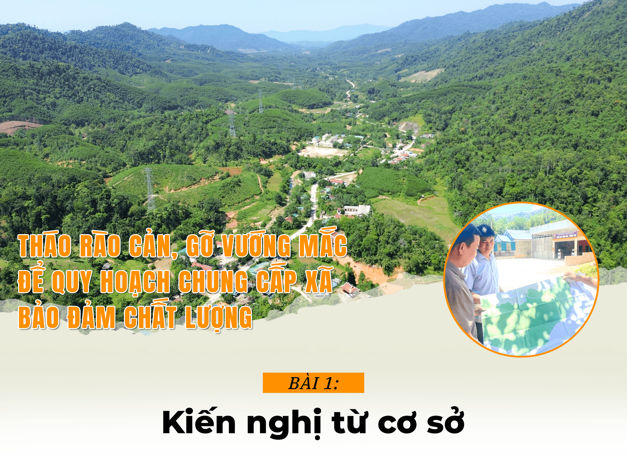
Lesson 1: Recommendations from the grassroots
From mountainous border areas like Thong Thu commune to lowland areas near the provincial center like Dong Loc commune, all commune-level Party committees and authorities are aware of the crucial importance of developing general planning projects. However, each locality faces more or less difficulties during the implementation process...
Nhat Lan - Tien Dong |Design:Huu QuanJune 22, 2026
From mountainous border areas like Thong Thu commune to lowland areas near the provincial center like Dong Loc commune, all commune-level Party committees and authorities are aware of the crucial importance of developing general planning projects. However, each locality faces more or less difficulties during the implementation process...

Implementing a two-tiered local government system is not simply about changing administrative boundaries or reorganizing the state management apparatus at the grassroots level. It presents an opportunity for localities to restructure their development space, more effectively exploiting land resources, population, infrastructure, and natural advantages. Therefore, immediately after the establishment of the new communes in Nghe An province, the task of developing a general planning framework was identified as particularly important. Unlike previous rural development planning, which primarily addressed the infrastructure needs of the population, commune-level planning in the current phase carries a much larger mission: shaping the development space for an entire region in the future.
In Thong Thu commune – formed from the merger of Dong Van and Thong Thu communes of the former Que Phong district – the local government promptly began preparing a master plan in the early days of operating the new administrative apparatus. This was also identified as the key to unlocking a completely new direction of development.
.jpg)
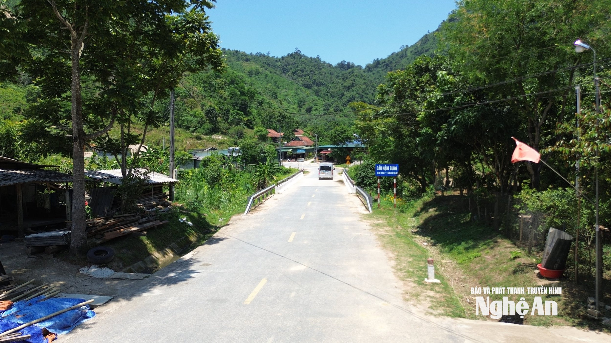
With an area of over 706 km² and a population of over 8,400 people, located on National Highway 48, the locality has the Thong Thu sub-border gate connecting with the Nam Tay border gate (Sam Tay district, Hua Phan province, Lao People's Democratic Republic). This is considered a major advantage for developing border gate economy, border trade, and logistics services in the future.
Mr. Bui Van Hien, Secretary of the Party Committee of Thong Thu commune, said that right from the time of the administrative unit merger, the locality has identified planning as a top priority to shape long-term development space. The commune's planning orientation will focus on economic development areas: ecotourism associated with aquaculture in the Hua Na hydroelectric reservoir area; conservation and development of areas for growing valuable medicinal plants and forest products such as golden flower tea, codonopsis, cinnamon, macadamia, and bamboo... associated with forest protection and biodiversity conservation; and areas for developing large-scale livestock farming. The locality also aims to study the planning of commercial infrastructure associated with the Thong Thu Border Gate, in which the Muong Phu village area (about 5km from the Thong Thu Border Gate) is planned for the construction of a border market and an inland port for goods collection.
These guidelines reflect a local development mindset focused on long-term sustainability and growth momentum. However, according to Mr. Hien, Thong Thu commune is located in a border area, so most of these guidelines, when implemented, must comply with regulations related to national defense, security, and foreign affairs. Therefore, the locality urgently needs guidance and support from central ministries and provincial departments.
.jpg)
The Party Secretary of Thong Thu commune, Bui Van Hien, also frankly discussed the progress of the commune's general planning, stating: “According to the plan, the general planning work for Thong Thu will be completed in the first quarter of 2027, slower than many other localities in the province. The main reason is the commune's lack of personnel with expertise in construction and planning. More importantly, the locality has not yet been allocated funding, so it cannot yet sign a contract with a consulting unit to implement the next steps. However, recognizing the particularly important role of planning for long-term development, we have proactively prepared from a very early stage. Currently, the locality has developed an outline, reviewed the current situation, updated new development directions, and is ready to implement it as soon as resources are allocated...”

Sharing the same view, Ms. Nguyen Thi Hoai, Chairwoman of the People's Committee of Thong Thu commune, said that the commune is currently negotiating a contract with a consulting firm. However, the locality is facing many difficulties regarding funding and human resources. "The commune has almost no budget revenue, while the team of professional staff in construction and planning is very short. Currently, there are not many capable consulting firms. Meanwhile, the planning of the former Thong Thu and Dong Van communes was included in the district-level planning, but now that the district level has been removed, the commune planning must be integrated into the overall provincial planning, so the requirements are much higher...", Ms. Hoai shared.
.jpg)
Yen Na commune was established by merging the former Yen Na and Yen Tinh communes of Tuong Duong district. According to Mr. Thai Luong Thien, Chairman of the Yen Na Commune People's Committee, the locality has signed a contract with a consulting unit to carry out the planning steps in accordance with regulations and is expected to complete it in the third quarter of 2026. However, the implementation process is facing many difficulties.
The commune has a large natural area, over 297.3 km², but most of it consists of hills, mountains, and forests. The terrain is particularly complex and fragmented, making it difficult to allocate land for essential infrastructure projects such as administrative centers, schools, medical facilities, residential areas, and other projects serving socio-economic development. Therefore, the planning process requires thorough research to ensure a balance between development needs, forest resource and environmental protection, and the stability of people's lives in the area.

Chau Binh is one of nine communes in the province that did not undergo mergers. Although it remains independent, according to the Chairman of the People's Committee of Chau Binh commune, Lo Van The, current commune-level planning is no longer simply about planning for new rural development as before, but must find a long-term development direction and create growth momentum for the locality. Therefore, the preparation for the general planning project of Chau Binh commune has been carried out early and actively. The locality has identified the focus as planning for socio-economic development infrastructure, agricultural and forestry development, building industrial clusters, and attracting businesses to invest in processing agricultural and forestry products. In particular, the commune has developed a tourism development plan until 2030 with the expectation of effectively exploiting the advantages from the Ban Mong reservoir area and other available natural resources.
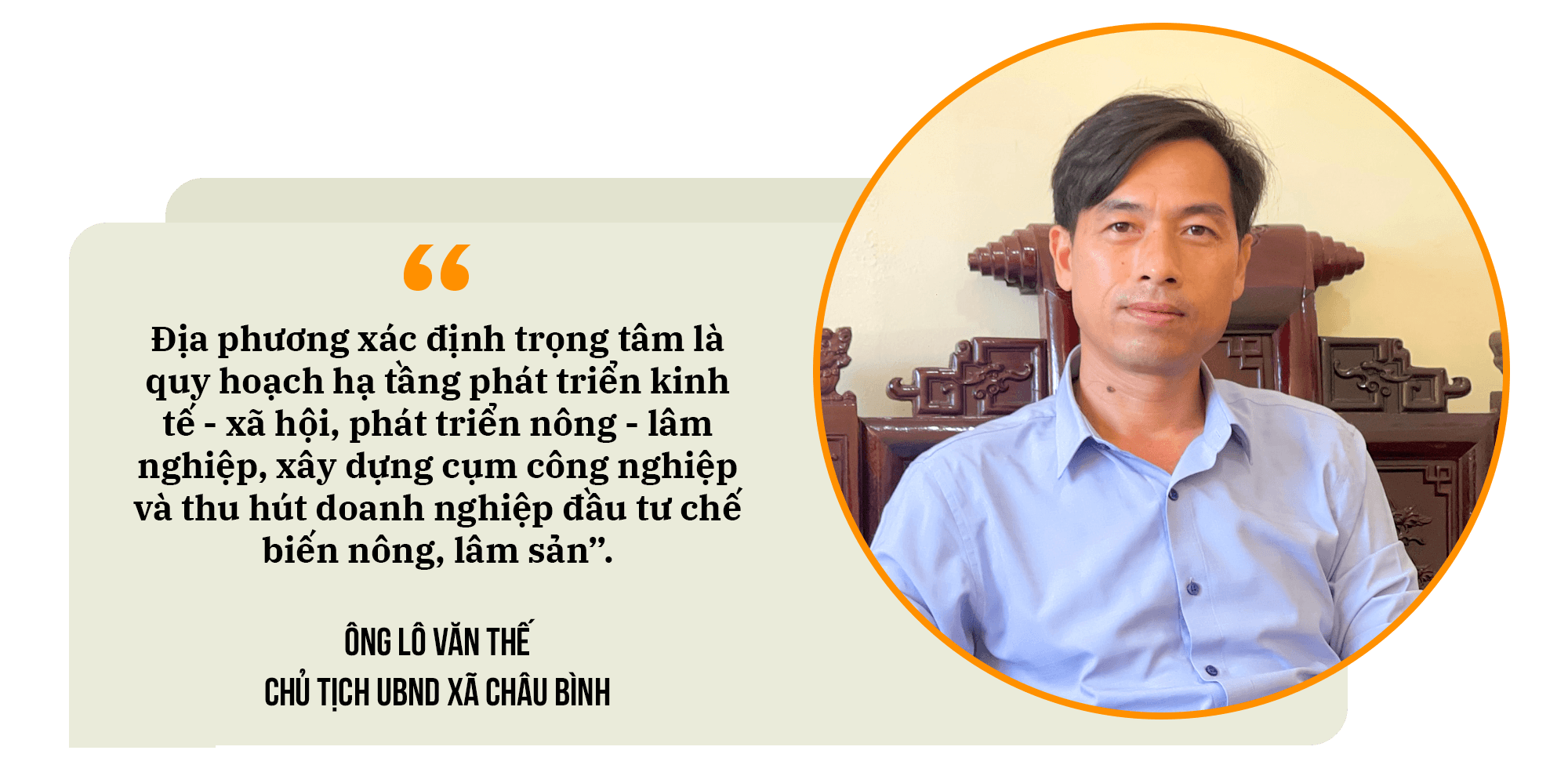
However, according to Mr. The's analysis, for tourism development associated with the Ban Mong reservoir to succeed, it needs to ensure very close regional linkages with neighboring localities such as Tam Hop and Quy Chau communes. In addition, the Ban Mong reservoir is a national-level project, and its inclusion in the commune's planning for tourism development requires approval from competent authorities.
One of the biggest challenges currently facing Chau Binh commune relates to residential land planning. With the majority of its natural area being forest land, and people living scattered across hillsides and mountain slopes, the residential land fund has not been clearly defined. Therefore, to develop a general planning project, the commune will have to spend considerable time reviewing and supplementing the residential land fund to facilitate the issuance of land use rights certificates and the conversion of land use purposes according to regulations.
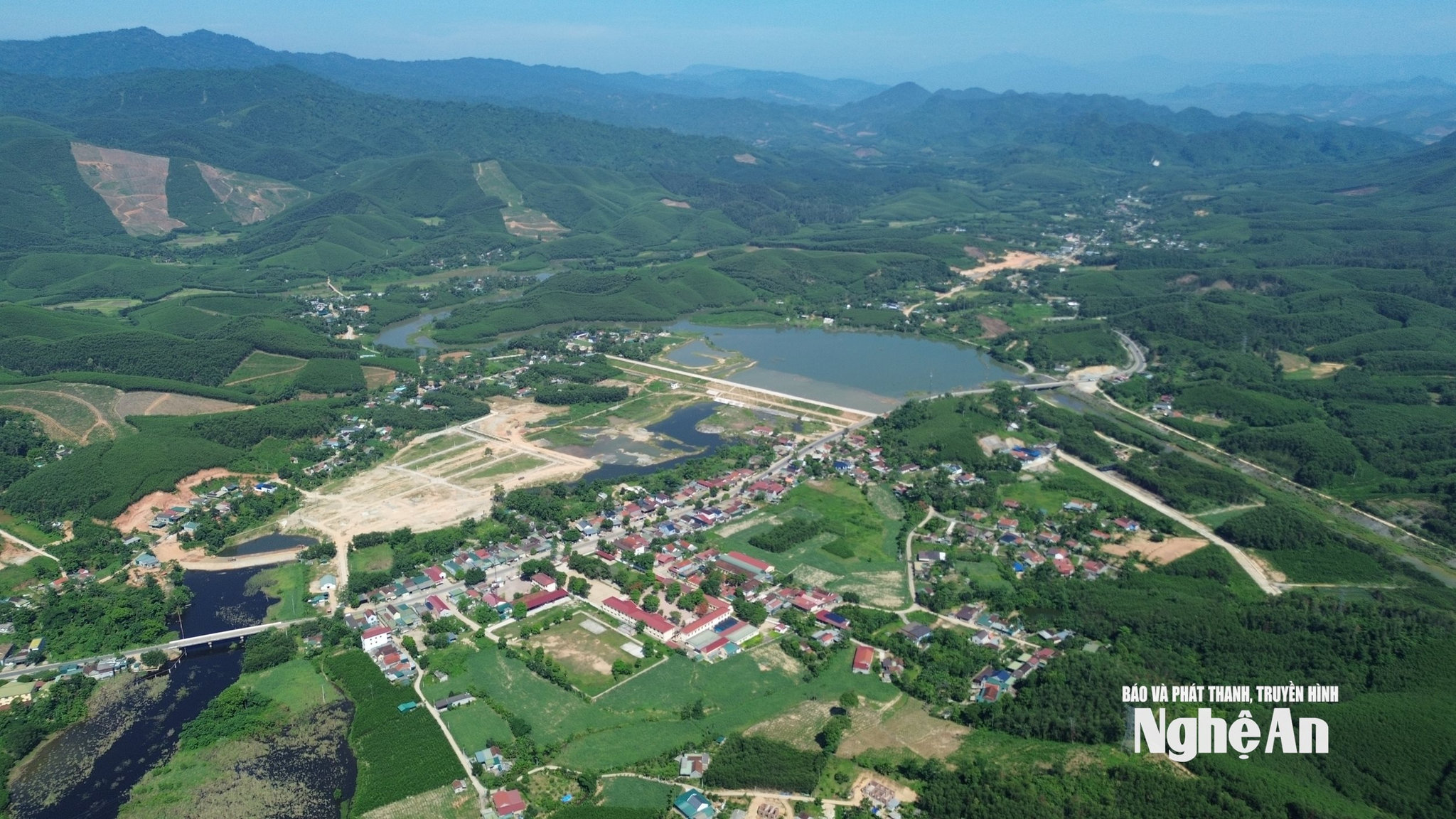
Tam Hop is a "neighbor" of Chau Binh commune. Here, the local Party committee and government recognize the general planning process as a breakthrough, a foundation for sustainable socio-economic development for the locality. According to Mr. Nguyen Duy Hung - Chairman of the People's Committee of Tam Hop commune, immediately after the two levels of local government came into operation, the locality began the planning process; a decision has been made to appoint a consulting unit, and the next steps are being finalized.
The local government aims to develop the commune into a sustainable new-style rural area with a rational economic structure, gradually improving technical and social infrastructure, and creating an urban space that aligns with new development trends. The commune's administrative center is planned to be a new area of approximately 50 hectares, instead of reusing the old buildings.
Tam Hop commune comprises four communes: Yen Hop, Dong Hop, Tam Hop, and Nghia Xuan, formerly part of Quy Hop district. Therefore, the cost of developing the planning project is quite substantial, approximately 1 billion VND, while the commune's budget can only cover a portion of it. Furthermore, a major obstacle hindering the progress of the planning project is the existence of the Song Dinh Industrial Zone plan, approved in 2011 but not implemented for many years, occupying a significant area of land designated for local development. "If the Song Dinh Industrial Zone plan is not reviewed, adjusted, or clearly addressed, it will negatively impact the overall planning of the commune..." said Nguyen Duy Hung, Chairman of the Tam Hop Commune People's Committee.
.jpg)
The fact that planning projects have remained unimplemented for many years, or have been implemented but with numerous shortcomings and limitations, is not unique to Tam Hop commune. For this reason, the authorities of several communes, such as Quy Chau and Quy Hop, have had to submit proposals to the Department of Industry and Trade, requesting that the competent authorities remove the planning for some industrial clusters in their areas from the provincial planning.
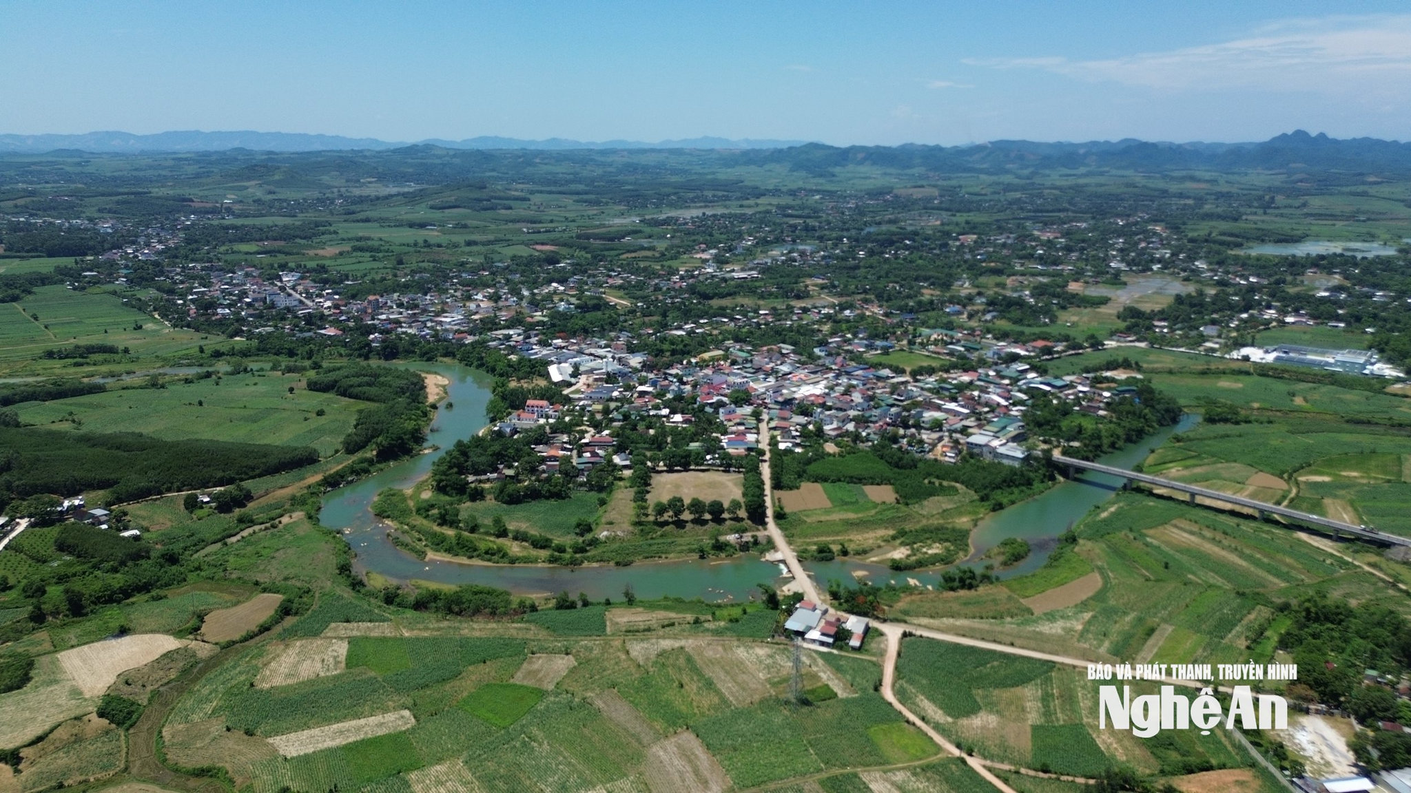
Similarly, in Dong Loc commune, formed from the former Nghi Loc district of Khanh Hop, Nghi Thach, and Thinh Truong communes, the development orientation is being influenced by various other planning documents. Mr. Nguyen Duc Tho, Chairman of the Dong Loc Commune People's Committee, stated that the locality has completed the planning outline and is reviewing investment projects and investors operating in the area to provide data to the consulting unit. However, the Nghe An Provincial Planning document has not yet clearly defined the role of the Dong Loc area. Meanwhile, the local development orientation is heavily influenced by the Vinh urban area and the coastal economic corridor.
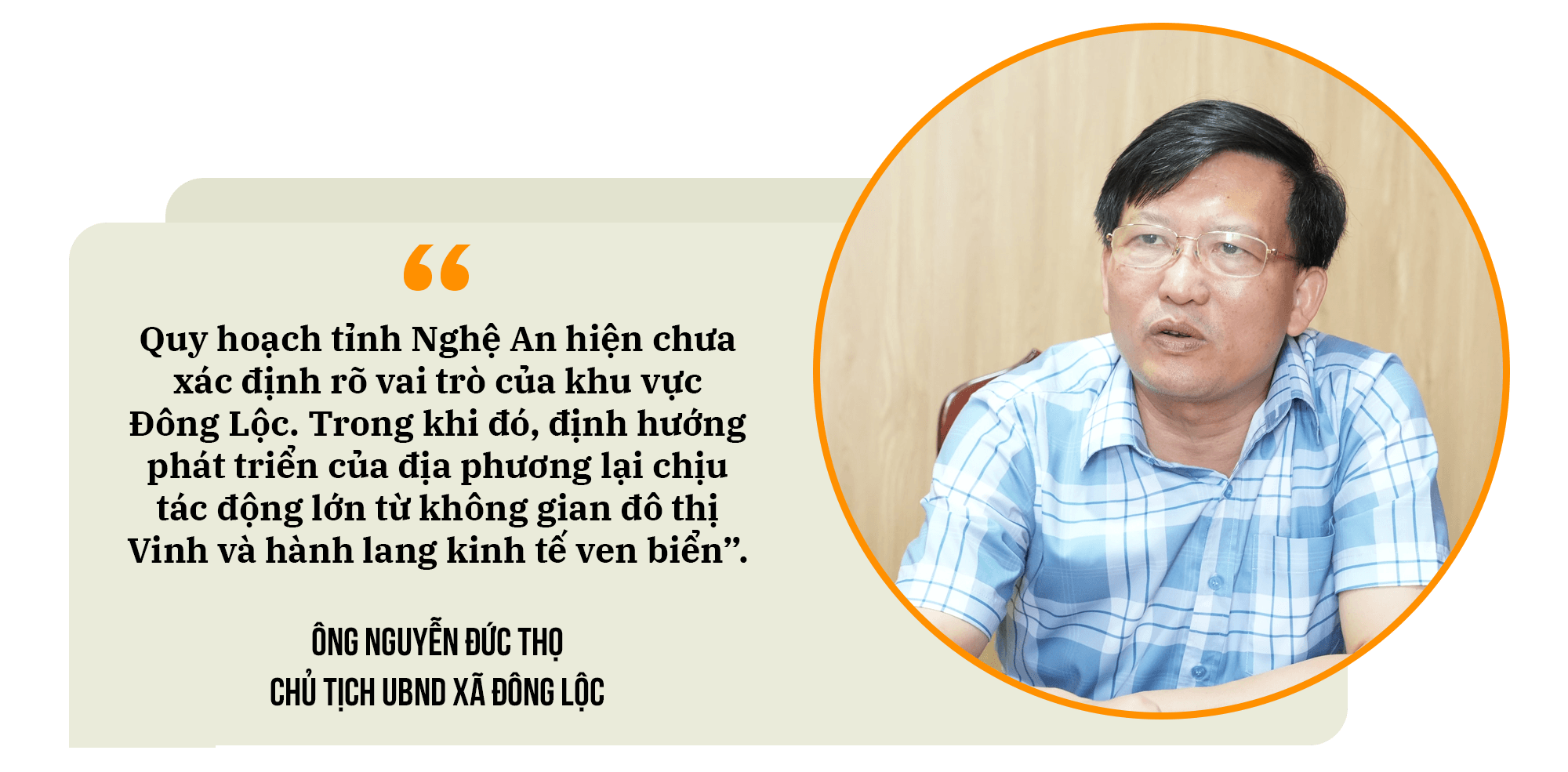
"The current development trend requires Dong Loc to gradually shift from agricultural production to services, trade, and urbanization. However, the locality is being influenced by many different planning documents such as the Provincial Planning, the Planning for both sides of the Vinh - Cua Lo Boulevard, and the Planning for the Southeast Economic Zone. If these plans are not yet complete or have not been adjusted to be consistent, it will be very difficult for the commune to develop a feasible and long-term directional plan..." - Chairman of the Dong Loc Commune People's Committee Nguyen Duc Tho explained.
Quang Dong commune was formed by merging three communes: Kim Thanh, Quang Thanh, and Dong Thanh from the former Yen Thanh district. During the commune's planning process, the location of the administrative center attracted particular attention from officials and residents. There were even some objections to the proposal to locate the commune's administrative center in the former Dong Thanh commune.
According to Mr. Nguyen Cong Chuc, Secretary of the Party Committee of Quang Dong commune, planning must be forward-looking. The selection of the administrative center cannot be based solely on convenience for a particular area or group of people, but must take into account transportation connectivity, regional linkages, and the socio-economic development space of the entire commune for many years to come. Therefore, the locality will strictly adhere to legal regulations, especially the Planning Law of 2025, publicly and transparently disclosing planning information, clearly explaining the scientific basis and development orientation of the plan to encourage public participation and consensus.
(To be continued)

