
Flood warning issued for rivers in Nghe An province.
Forecasts indicate that river floods will inundate low-lying areas, affecting activities such as waterway transportation, aquaculture, agricultural production along riverbanks, and other socio-economic activities.
Currently, the water level on the Hieu River in Quy Chau has peaked and is trending downwards, while it is rising in Nghia Khanh.
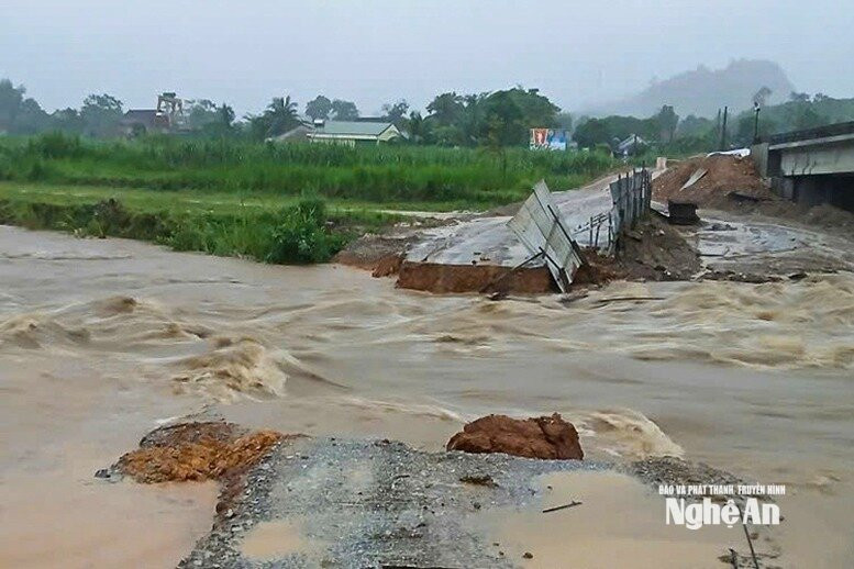
Water levels in the upper reaches of the Ca River at Muong Xen have peaked, reaching 139.55m at 8 PM on August 24th, 0.45m below Level 2 flood warning threshold; at Thach Giam and Con Cuong, water levels are fluctuating at high levels; the middle reaches are trending upwards; and the lower reaches are fluctuating.
Water levels at 7:00 AM on August 25th on rivers in Nghe An province were as follows: Nghia Khanh: 35.66 m, Muong Xen: 139.22 m, Thach Giam: 66.46 m, Con Cuong: 28.35 m, Dua: 19.56 m, Nam Dan: 1.80 m.
Warning:From August 25th to August 26th, a flood occurred on the Hieu River at Nghia Khanh, in the middle reaches of the Ca River, with a flood amplitude of 2.0 - 5.0m. The flood peak on the Hieu River and the middle reaches of the Ca River is likely to reach or exceed Level 1, while the lower reaches of the Ca River will be below Level 1.
Be prepared for the high risk of flash floods and landslides in mountainous areas, and localized flooding in low-lying areas along rivers, streams, and urban areas.
Flood disaster risk level warning: Level 1
Flood impact warning: River floods cause inundation of low-lying areas, affecting activities such as waterway transportation, aquaculture, agricultural production along riverbanks, and other socio-economic activities.


