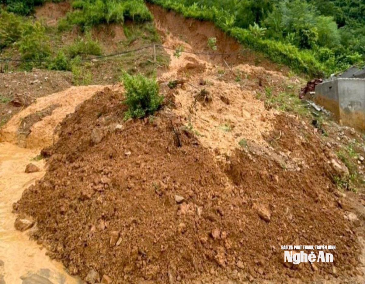
Flood and landslide warnings issued in Nghe An.
The National Center for Hydro-Meteorological Forecasting has just issued a flood warning for rivers in the Northern region, Thanh Hoa and Nghe An provinces.
At 7:00 AM on July 22nd, water levels on rivers belonging to the Red River - Thai Binh River system, the Ma River (Thanh Hoa), and the Ca River (Nghe An) fluctuated and remained below alarm level 1.
From today (July 22nd) to July 25th, 2025, a flood event will occur on rivers in Northern Vietnam, Thanh Hoa, and Nghe An, with flood levels rising by 3-5 meters. During this flood event, peak flood levels on small rivers and the upper reaches of the Thao, Lo, Thai Binh, Hoang Long, Ma, and Ca rivers will reach levels BĐ1-BĐ2; peak flood levels in the lower reaches of the Hong, Ma, and Ca rivers will remain below BĐ1.
There is a high risk of flooding in low-lying riverside areas and urban areas in the Northern Delta, Thanh Hoa, and Nghe An; and flash floods and landslides on slopes in mountainous areas of Northern Vietnam, Thanh Hoa, and Nghe An.
Flooding on rivers and streams can cause inundation in low-lying areas along the riverbanks, affecting activities such as waterway transportation, aquaculture, agricultural production, people's lives, and socio-economic activities.

