
Nghe An accelerates campaign to "enrich and clean" land data.
The campaign to enrich and clean up the national land database is being implemented synchronously and decisively by localities in Nghe An province. With innovative and flexible approaches, many communes and wards have minimized procedures for people and accelerated the data entry process.
A scientific and flexible approach from the grassroots level.
These days, in Truong Vinh ward, the atmosphere is one of urgent work in the campaign to enrich and clean up the national land database. Comprising seven former wards and communes – Ben Thuy, Hung Dung, Hung Phuc, Trung Do, Truong Thi, Vinh Tan, and Hung Hoa – Truong Vinh ward currently has 101 residential blocks with over 61,000 land plot records, representing a massive workload.
.jpg)
Mr. Nguyen Ngoc Phong, Vice Chairman of the People's Committee of Truong Vinh Ward, said that the ward had mobilized all its forces and focused on implementation during the two-week peak period. To ensure a scientific approach and avoid duplication, the locality did not request information from residents en masse but implemented it in two phases.
In phase 1, the ward will review all land plots with complete and valid documents and information. The local government will directly process and enter the data into the system, eliminating the need for residents to complete any additional procedures.
In phase 2, after compiling and reviewing the number of missing documents, the ward will request residents' assistance by providing information through photocopies of land documents or online photos, which will be sent to the working groups for updating.
.jpg)
Thanks to this scientific and flexible approach, out of 61,000 land plot records in the ward, only about 12,000 still require additional information, while the rest have been accurately verified and are being entered into the system.
In particular, Truong Vinh ward assigned its specialists and officials to return to their former wards and communes – where they previously worked – to conduct reviews and verifications. Leveraging their local knowledge and familiar relationships with the residents significantly accelerated the process, reducing the burden of the large workload after the merger.
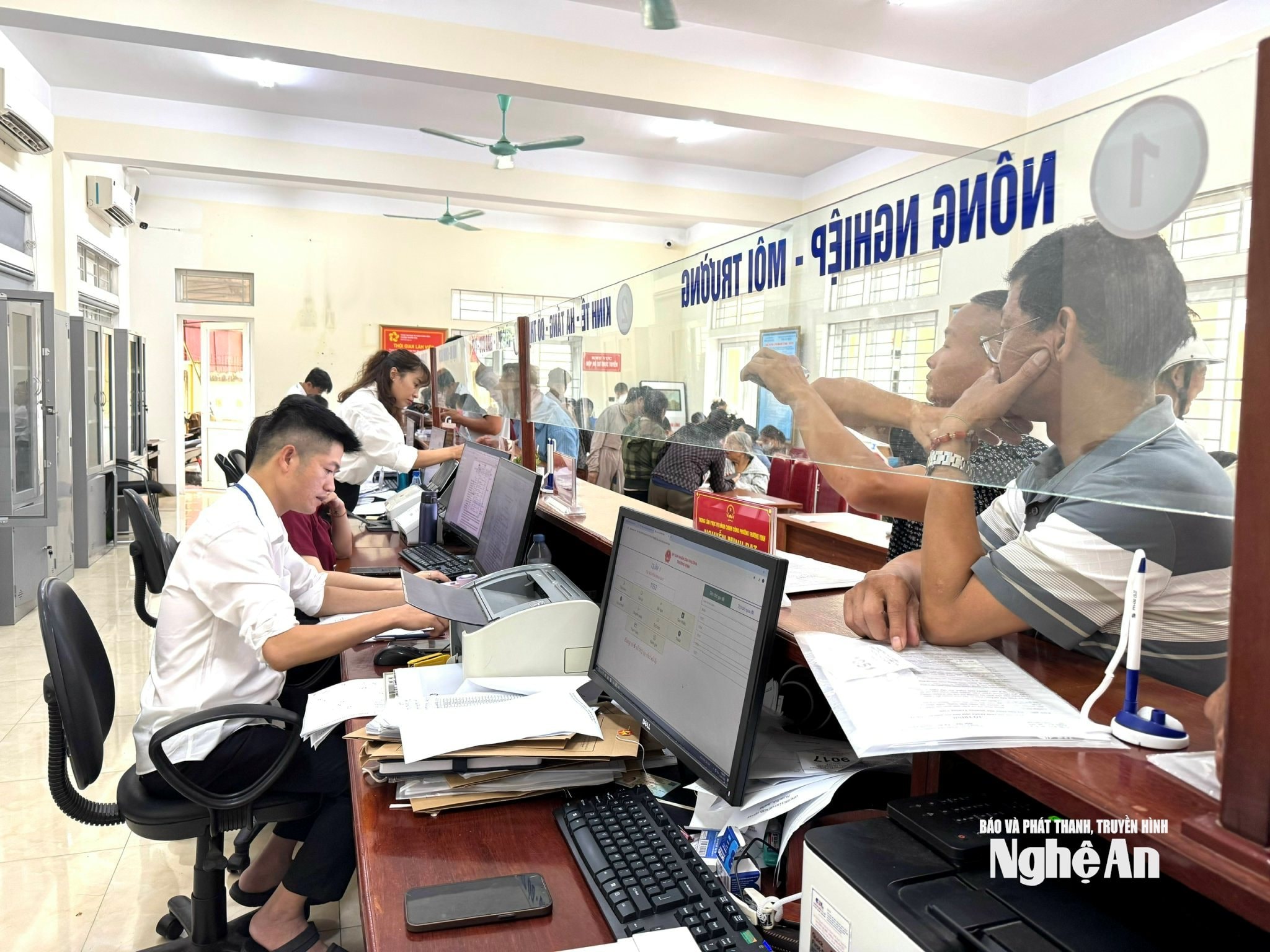
Hung Nguyen commune is formed from four former administrative units: Hung Tay, Hung Dao, Hung Nguyen town, and Thinh My. With over 34,000 land parcels, of which nearly 15,000 already have data, the commune is striving to complete the remaining data with many synchronized measures.
According to the Hung Nguyen commune authorities, as soon as the campaign was launched, they held meetings to brief all 38 hamlets and established working groups in each hamlet, including the Party branch secretary, hamlet head, Front Committee officials, Youth Union members, and other supporting forces – prioritizing young people who are tech-savvy. Information dissemination was also carried out through loudspeakers, social media, and social media groups to ensure residents received timely information.
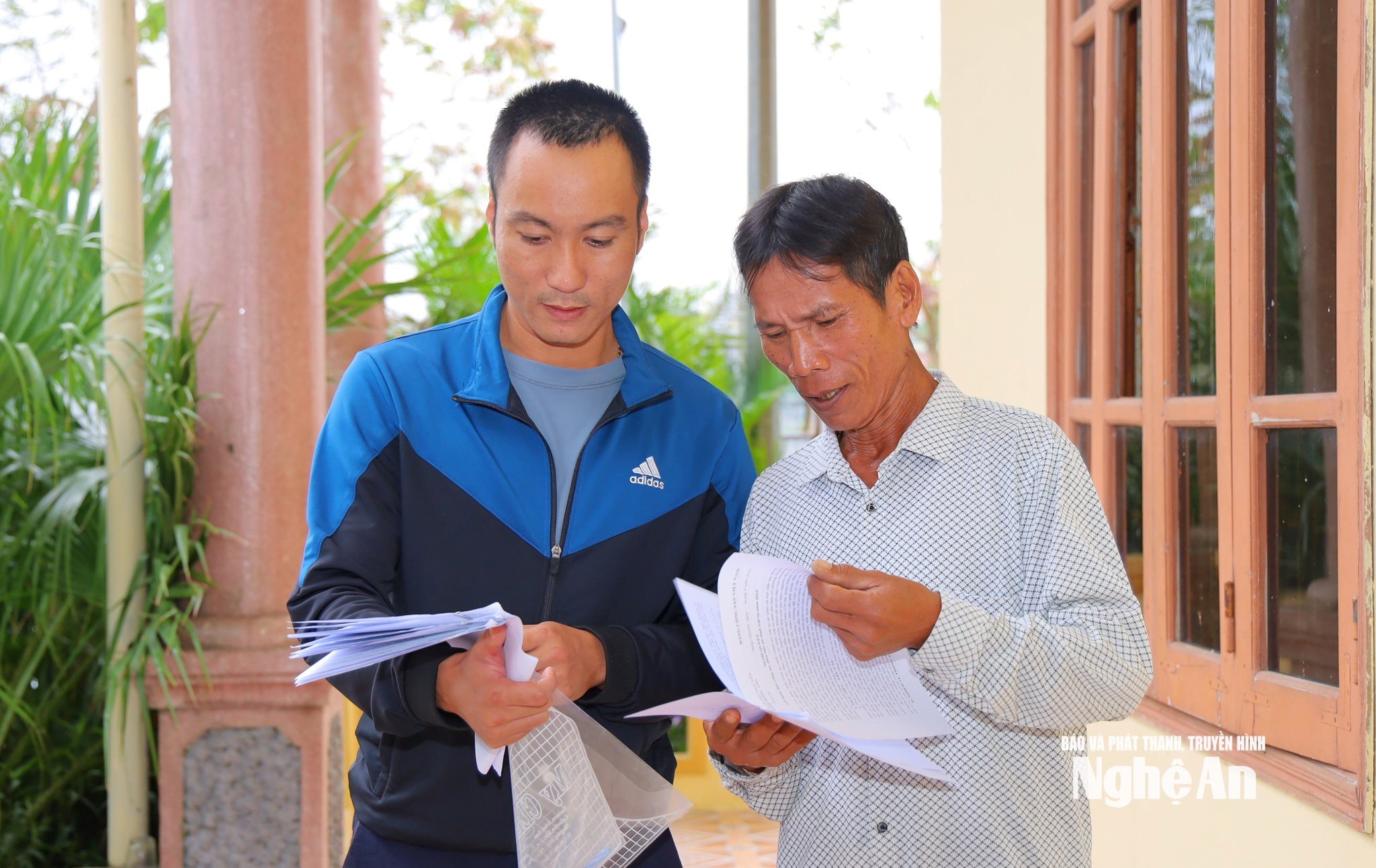
In particular, Hung Nguyen commune has diversified its methods of information collection, creating the most favorable conditions for people through three ways, including: people bringing original documents for officials to photograph and scan; people can photocopy documents without notarization; and people can have their photos taken and send them via Zalo to provide to specialized officials.
As a result, each citizen can flexibly choose the method that suits them best, without being bound by cumbersome administrative procedures.
.jpg)
A representative from the Economic Department of Hung Nguyen commune said: "In reality, older people who are not tech-savvy prefer traditional methods like photocopying or handing over original documents to officials to take pictures of; younger people choose to send photos via Zalo for convenience. We accept all methods, as long as the data is accurate and on schedule."
A notable new development is that Hung Nguyen commune encourages residents to use the CamScanner application to photograph documents, with specific instructions on how to download the application from the App Store or CH Play. This application allows for clearer photos and more legible data display compared to traditional methods, facilitating data entry and reducing errors. This is considered a logical step in the digital transformation process, leveraging technology while remaining relevant to rural realities.
Not only Truong Vinh ward or Hung Nguyen commune, but many other localities in the province have also implemented a synchronized and scientific approach, clearly assigning responsibilities to each group and individual, linking accountability to specific results, helping to accelerate the data standardization process.
Expedite the completion process.
According to Announcement No. 890/TB-UBND dated October 22, 2025, Mr. Phung Thanh Vinh - Vice Chairman of the Provincial People's Committee and Head of the Campaign Steering Committee - requested localities to minimize the requirement for people to go through cumbersome and unnecessary procedures in the process of collecting and completing land data.
The provincial steering committee highly appreciated the proactive and creative approach of many communes and wards in the new conditions after the reorganization of the two-tiered government structure. Some localities, despite facing difficulties, still organized effectively and ensured progress.
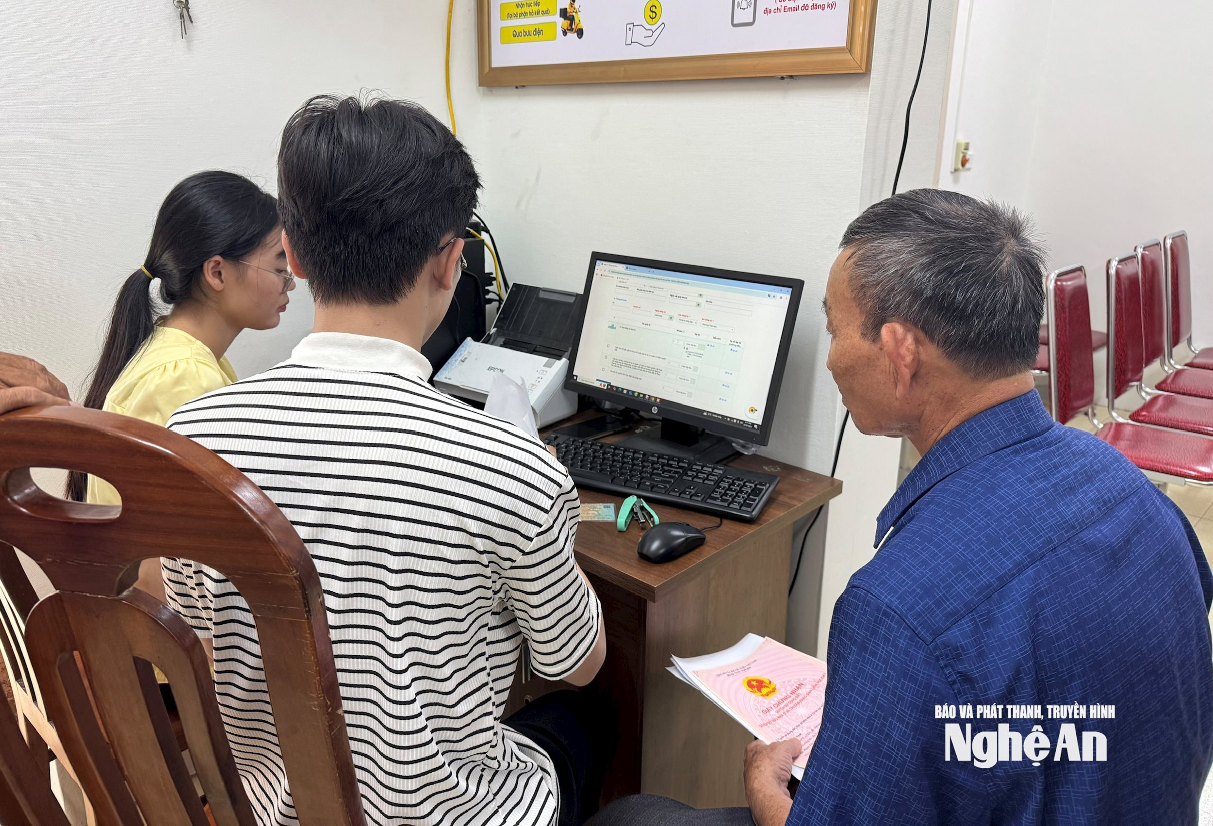
The Steering Committee requested all levels and sectors to launch a high-intensity emulation campaign "Enriching and cleaning up land data databases," striving to complete the collection and entry of data into the database before November 15, 2025. Simultaneously, the work... Information security and cybersecurity are prioritized, ensuring safety throughout the process of data collection, storage, and sharing...
During the process of collecting, enriching, and cleaning the land database, it has been observed that specific cases may arise, such as land use right certificates being mortgaged, lost, torn, or the landowner living far away, even abroad...
Regarding these situations, Mr. Nguyen Manh Toan - Head of the Surveying, Mapping and Remote Sensing Department (Department of Agriculture and Environment) said that the Ministry of Agriculture and Environment has provided very specific guidance in the declaration forms, ensuring that data collection is carried out smoothly and in accordance with regulations, but without causing inconvenience to the people.
Accordingly, for cases where the Certificate of Ownership is mortgaged at a bank or credit institution, citizens only need to clearly state the status as "mortgaged" in the declaration form, and provide a photocopy or photograph if available. The local task force will receive, verify, and forward the list to the commune-level Steering Committee to coordinate with the relevant bank to update the data when necessary.
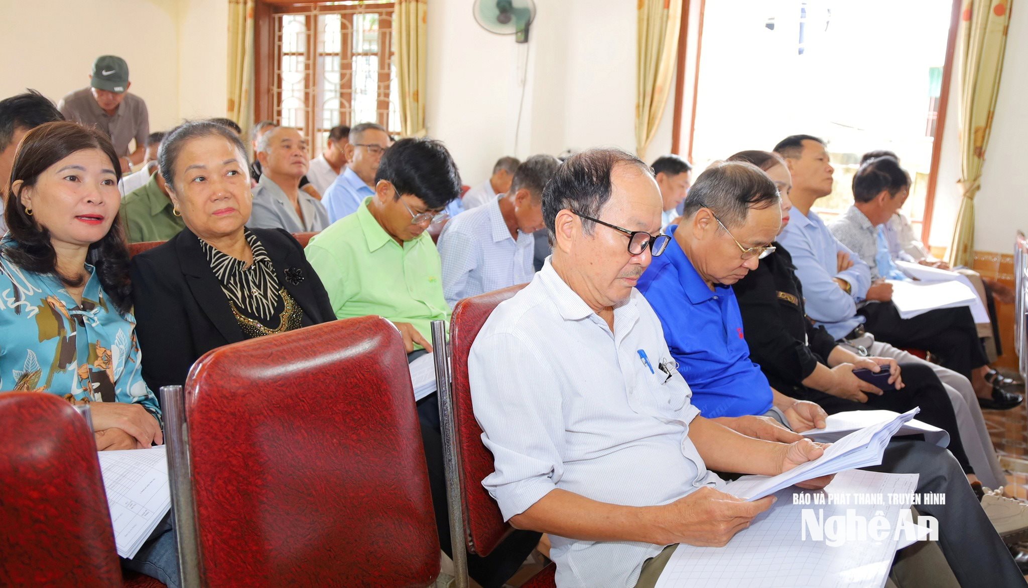
Even if the certificate is lost or damaged, people only need to state the actual situation; there is no need to go through the re-verification procedure, because all the information has been systematized and stored in the database of the Department of Agriculture and Environment. "People don't need to worry or prepare complicated documents; all information is recorded and processed according to the correct procedures, ensuring accuracy and transparency," Mr. Toan affirmed.
For cases where the landowner is located far away or abroad, the process is also flexible to suit practical needs. The landowner can authorize or coordinate with relatives in the locality to photograph the Land Use Right Certificate and citizen identification card and send them via Zalo or other online platforms to the task force in charge of the area. This method ensures the legality of the information and significantly shortens the process, eliminating the need to send paper documents by mail or wait for complicated confirmations.
Mr. Nguyen Manh Toan also added that this campaign is not limited to the geographical scope of Nghe An province, but also collects and cross-checks information with other localities. People from Nghe An who own land outside the province, or citizens from other provinces who own land in Nghe An, can photograph and copy their documents and send them online for synchronized updating into the system. In the near future, when the self-declaration software on the VNeID application is completed and connected to the National Public Service Portal, citizens will be able to photograph, scan, and declare land data online themselves, without going through intermediaries. This is an important step in the process of digitizing land management, aiming to build a unified, transparent land database and better serve the people.
According to a report by the Department of Natural Resources and Environment, as of mid-October 2025, Nghe An province had assigned identification codes to more than 6.6 million land parcels, of which 1.5 million records had been verified and matched with the population database.


