
Nghe An accelerates the construction of a land database.
With a determination to complete the database by 2026, Nghe An is stepping up its campaign to "clean up" and comprehensively digitize the system, aiming for transparent, modern, and sustainable land management.
Land data and digital governance objectives
For a long time, the fragmented and inconsistent state of land data has created bottlenecks in administrative procedures, causing considerable difficulties for both citizens and management agencies. Searching and verifying information sometimes becomes a procedural burden, slowing down investment projects and affecting the legitimate rights of land users.

To facilitate this data flow, in accordance with Prime Minister's Directive No. 05 and the Joint Plan No. 2959 of the Ministry of Natural Resources and Environment and the Ministry of Public Security, on April 20, 2026, the People's Committee of Nghe An province issued Directive No. 11 and Plan No. 290.
The core objective is to complete land surveying and cadastral mapping, aiming to provide full-process online public services for eligible land procedures.
The requirement is that the completed data must meet the standards of "accuracy - completeness - cleanliness - viability - consistency - shared use," ensuring direct connectivity with the National Population Database.
This is not just a requirement for state management, but a strategic shift in thinking: from paper-based management to real-time data-driven governance. This ensures the legitimate rights of citizens while creating a transparent investment environment, helping businesses easily access land resources quickly and accurately.
Following the plan's issuance, all 130/130 wards and communes across the province simultaneously launched the campaign. The Land Registration Office branch proactively engaged with a high sense of responsibility, strengthening professional support for local areas.

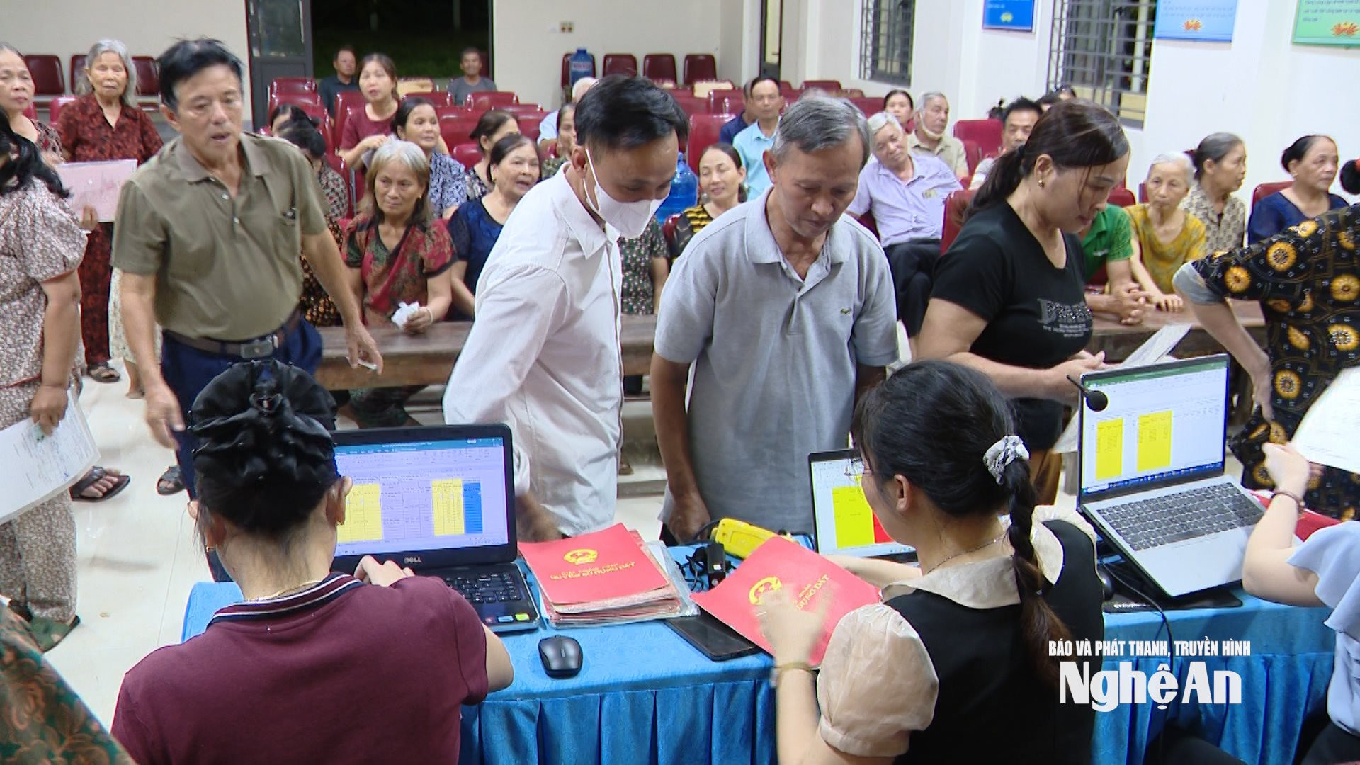
The peak campaign will run from April 1st to December 31st, 2026. Observations in various localities show an extremely urgent work atmosphere. Working groups have flexibly deployed their teams to work even in the evenings and on weekends to scan records, update, and clean up data. Based on the results of the 90-day campaign to enrich and clean up land data, which was implemented from September 2025, more favorable conditions have been created in terms of human resources and standardized processes.
Mr. Tran The Kien, Vice Chairman of the Yen Thanh Commune People's Committee, said: "The Economic Department has been assigned the main task. The commune has mobilized many other departments, youth forces, and village officials to participate. Most of the work is done outside of regular hours and on weekends to complete the set plan."
According to statistics, the province currently has over 2.24 million land parcels that have been entered into the system. The data is categorized into groups. Group 1, with over 1.14 million parcels, is complete and operating stably. Group 2, with over 1.09 million parcels that do not yet meet the standards, is being focused on cleaning up. Over 1.8 million parcels without a database are currently having their records collected for updating. The systematic classification and standardization of data has created a solid foundation for state management and improved the efficiency of land registration in the area.

Digital transformation and solutions to overcome challenges.
Data transparency is also key to thoroughly resolving long-standing land disputes, while simultaneously creating momentum for the healthy development of the real estate market.
The highlight of this campaign is the change in implementation method: Field measurements, verification, and database construction are carried out synchronously and integrated. Information obtained from measurements will be digitized immediately, minimizing errors from paper records which are easily damaged or lost over time.
However, the digital transformation process is not without its challenges. The volume of documents to be processed is enormous, especially older documents from before 2007, which are often lost or stored in scattered locations. In some localities, the staff is still small, the workload is heavy, and resolving outstanding issues after land consolidation or issuing land use right certificates remains a difficult task.
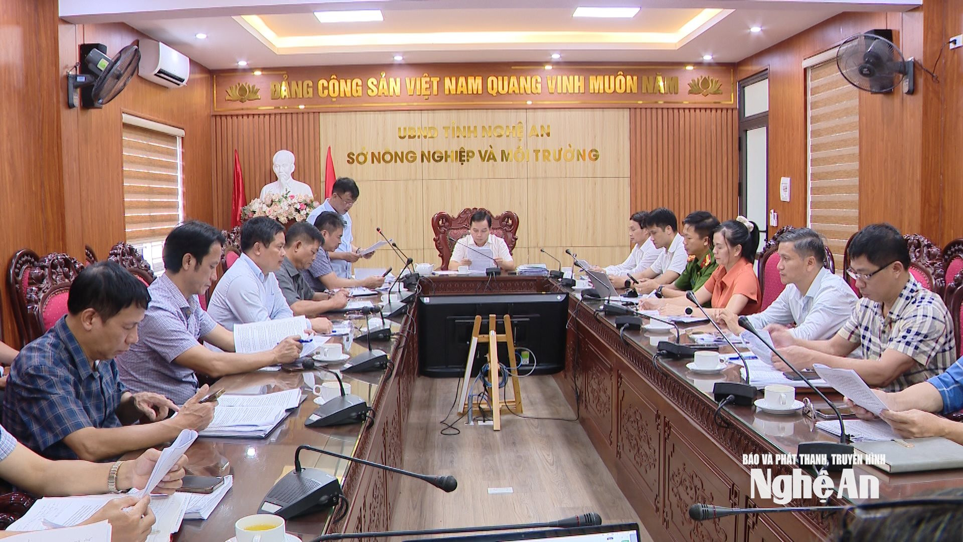
Mr. Le Quang Huy, Deputy Director of the Department of Agriculture and Environment, affirmed: "We have aggressively implemented solutions to review and compile a list of land parcels managed by the communes to support the completion of dossiers. At the same time, we are promoting mass digital signing to increase the number of land parcels meeting the criteria for Group 1. The Land Registration Office and its branches are also launching a campaign to closely coordinate with the People's Committees at the commune level and the police in communes and wards to enrich and clean up data and transfer land parcels from Group 2 to Group 1."
With the completion of the database, state management of land is transforming towards modern digital governance. This is not only a foundation for optimizing state management but also a key to ensuring maximum benefits for citizens and businesses. With a well-structured roadmap and decisive implementation methods, Nghe An is moving towards the goal of completing the land database by 2026, creating a solid foundation for sustainable socio-economic development.


