
Fishermen in Nghe An province are rushing back to port to take shelter from Typhoon No. 1.
On the afternoon of June 11th, Typhoon No. 1 intensified and was forecast to sweep across the East Sea. According to the warning, ships operating in these waters are likely to be affected by thunderstorms, tornadoes, strong winds, and high waves. Thousands of fishermen in Nghe An province simultaneously brought their boats ashore for shelter.
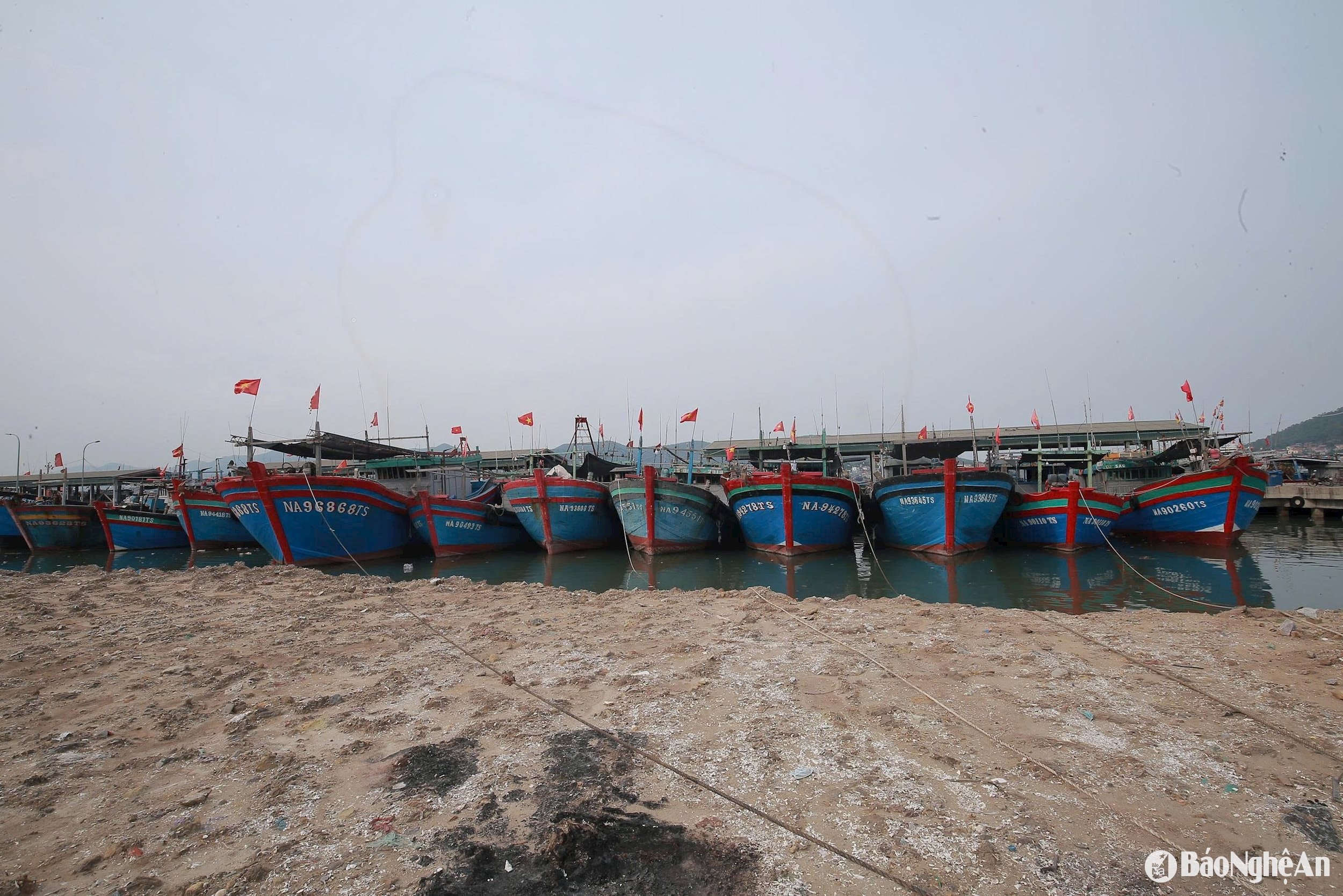






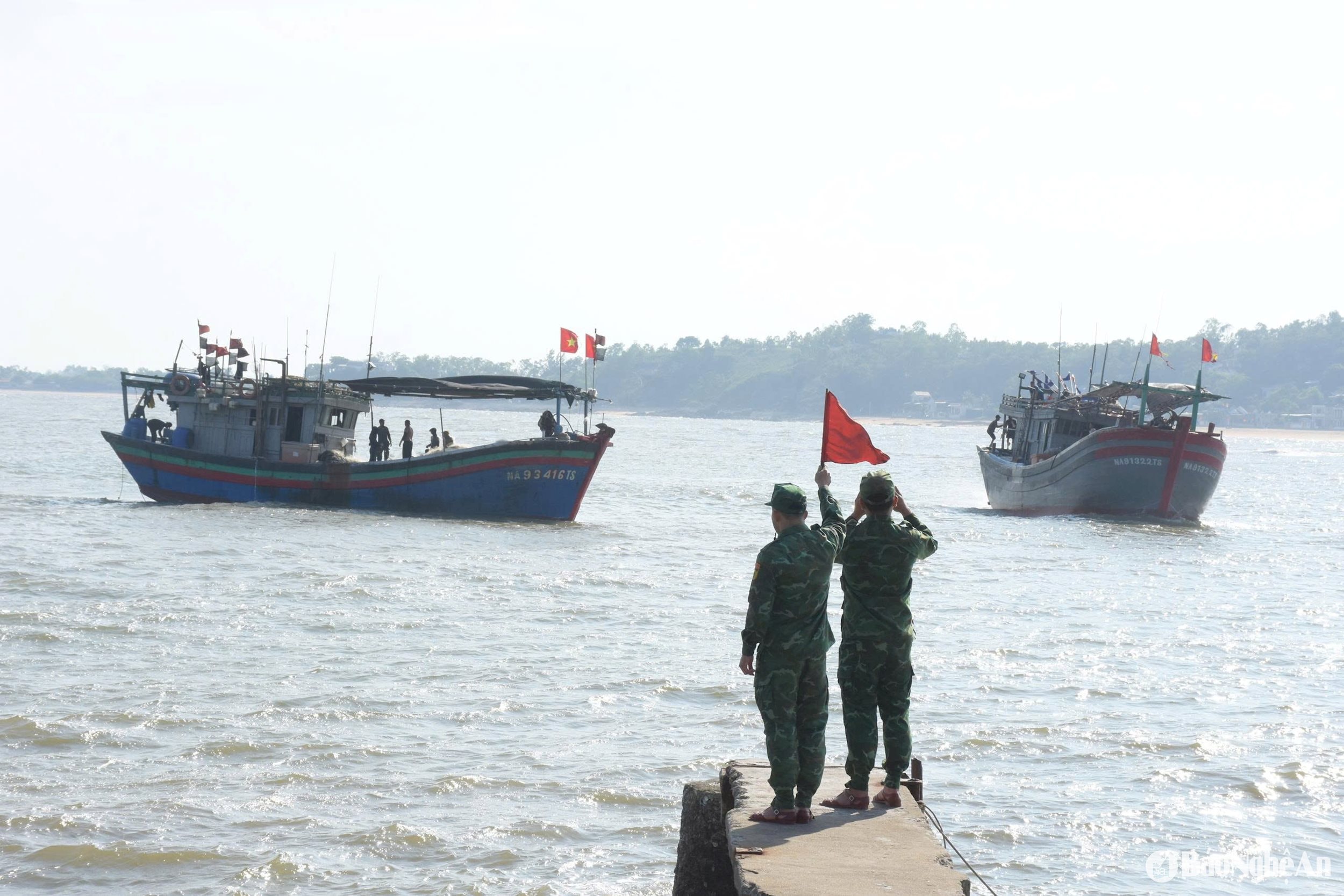

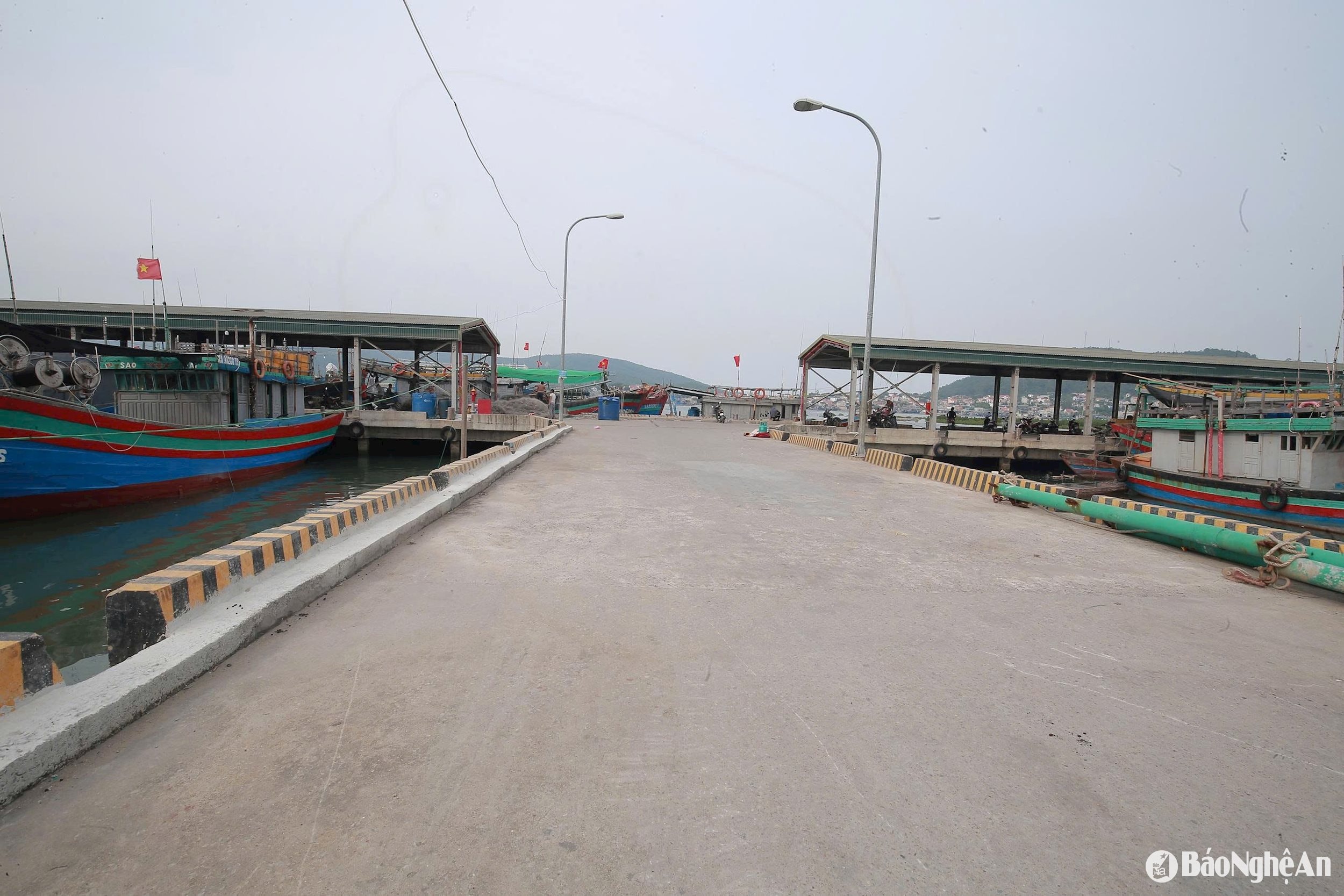
Warning about Typhoon No. 1
Typhoon Wutip (butterfly) officially formed on the morning of June 11th in the South China Sea, becoming the first typhoon of 2025. The typhoon will reach its maximum intensity at 7:00 AM on June 13th, with its center located in the sea area south of Hainan Island (China).
* At sea:In the western part of the North East Sea (including the waters around the Hoang Sa archipelago), winds will be strong, reaching levels 7-8, with gusts up to level 13 near the storm's center. Wave heights will be 3.0-5.0m, and 4.0-6.0m near the storm's center, resulting in very rough seas. From the night of June 11th, offshore waters from Quang Tri to Quang Ngai will experience gradually increasing winds, reaching levels 6-7, with gusts up to level 11 near the storm's center. Wave heights will be 3.0-5.0m, resulting in very rough seas. From June 12th, the eastern part of the Gulf of Tonkin will experience gradually increasing winds, reaching levels 6-7, with gusts up to level 10 near the storm's center. Wave heights will be 2.0-4.0m, resulting in rough seas.
Vessels operating in the aforementioned hazardous areas are susceptible to the effects of thunderstorms, tornadoes, strong winds, and high waves.
* Heavy rain:Due to the influence of the circulation of typhoon No. 1, from the afternoon of June 11th to June 13th, the Central Central region will experience heavy to very heavy rain with rainfall amounts generally ranging from 100-300mm, and in some places exceeding 450mm; the Northern Central Highlands will experience moderate to heavy rain and thunderstorms, with localized very heavy rain with rainfall amounts generally ranging from 70-150mm, and in some places exceeding 200mm.


