
Puma LE features upgraded visual navigation with anti-GPS interference.
AeroVironment equips the Puma LE with a Visual Navigation System: using a downward-facing camera and inertial data to maintain trajectory when GPS is interfered with, automatically switching modes, and offering a maximum flight time of 6.5 hours.
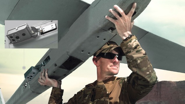
AeroVironment equips the Puma Long Endurance (LE) small drone with the Visual Navigation System (VNS) upgrade, enabling reliable navigation even when GPS/GNSS signals are jammed or completely lost. The system uses a downward-facing camera combined with inertial data and real-time terrain mapping to calculate position, velocity, and bearing. VNS automatically switches between GPS-enabled and GPS-less environments, maintaining its trajectory without pilot intervention.
Overview
According to the company, this upgrade aims to ensure navigation in a GNSS environment increasingly vulnerable to interference and deception. “Guaranteed navigation is a key element of the mission, especially as GNSS (Global Navigation Satellite System) becomes an increasingly vulnerable resource,” said Jason Hendrix, Vice President of Small Unmanned Systems at AV. He emphasized that combining real-time imagery and inertial data helps maintain uninterrupted flight paths and precise positioning in unstable GNSS environments.
Technical analysis
VNS uses a downward-facing camera and integrated sensors, along with internal processing, to map the terrain in real time. Continuous imagery is combined with inertial data using optical odometry, allowing for accurate estimation of Puma LE's position, velocity, and azimuth without relying on satellite signals.
The automatic switching mechanism between environments helps the system maintain geographic stability: when GPS is available, data is synchronized; when GPS is lost, VNS maintains navigation based on visual and inertial navigation. The entire process is automatic, requiring no manual compensation from the operator.
Key parameters and mission configuration
| Category | Information |
|---|---|
| Mass | 10.8 kg (Group 2) |
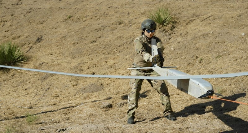
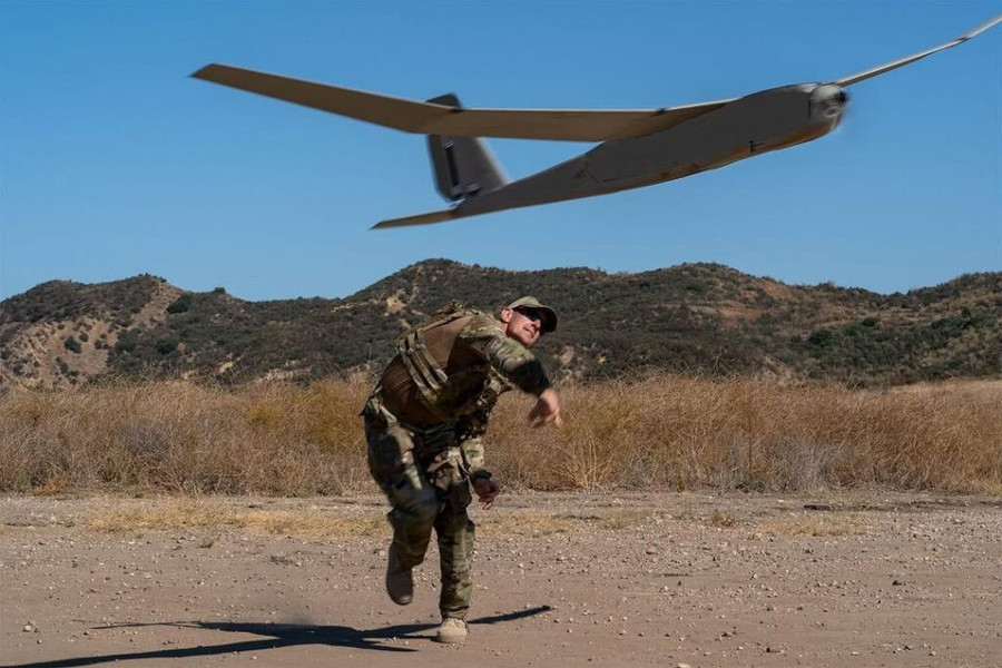
| Launch method | By hand or bungee cord |
| Flight time | Up to 6.5 hours |
| Operating range | 60 km when combined with the Long Range Tracking Antenna. |
| Operating environment | Land and sea travel |
| Main sensor assembly | Mantis i45, optional Mantis i45 N (day/night express) |
| Auxiliary cargo compartment | Supports a load of 1.5 kg, has its own power supply and Ethernet port. |
| Integration capabilities | Compatible with Universal Gimbal Kits, tool-free payload swapping. |
Tactical implications
The Puma LE's visual-inertial navigation capabilities enable it to maintain reconnaissance, surveillance, and target designation in areas prone to GNSS interference, minimizing mission disruptions. The ability to automatically switch between GPS and GPS signals reduces the workload on the operating crew while maintaining the programmed flight path.
A maximum flight time of 6.5 hours combined with a range of 60 km (when using the Long Range Tracking Antenna) allows for extended coverage in land and sea operations. The ability to quickly switch between Mantis i45 and i45 N configurations supports day/night missions, while a 1.5 kg payload with power and Ethernet provides room for integrating specialized sensors as needed.
Evaluate
With VNS, the Puma LE reduces reliance on satellite signals, increasing survivability and mission continuity in jammed environments. Flight time, range, and sensor configuration parameters indicate that the platform is designed for flexible payload integration, meeting diverse reconnaissance and surveillance scenarios. These characteristics align with the requirements of modern warfare, which is to maintain situational awareness even when GNSS is unstable.


