
Sacred landmark of sovereignty on Pirate Island
(Baonghean.vn) - The sovereignty marker, built in 1958 on Hai Tac Island, is a source of pride for the island's residents. Everyone cherishes the marker as if protecting sacred territory of the Fatherland.
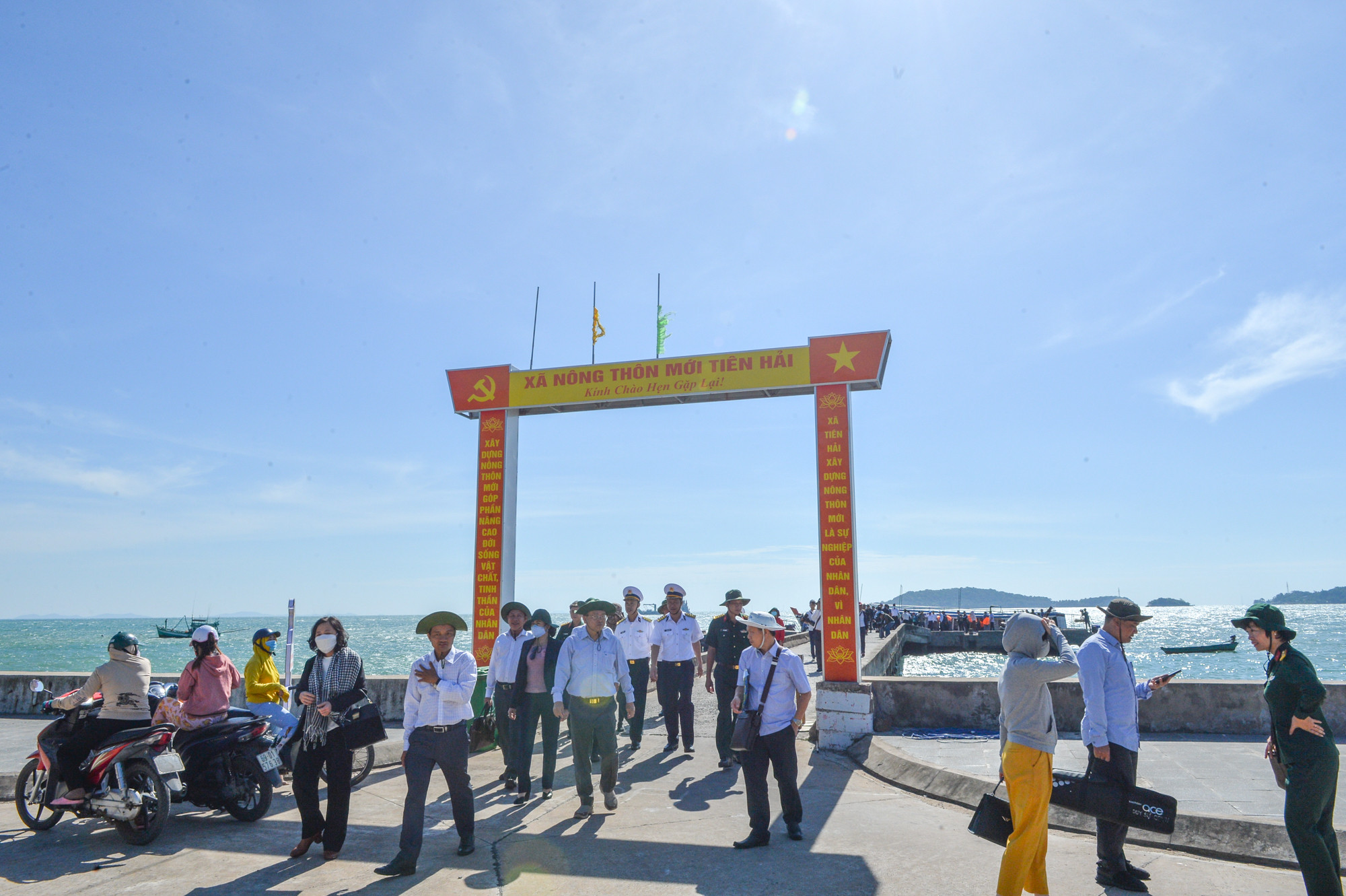 |
| Hon Doc Island, located in the Hai Tac Archipelago, part of Tien Hai Island Commune, Ha Tien City, Kien Giang Province, is the largest island in the archipelago, situated near the maritime border between Vietnam and Cambodia. Photo: Thanh Cuong |
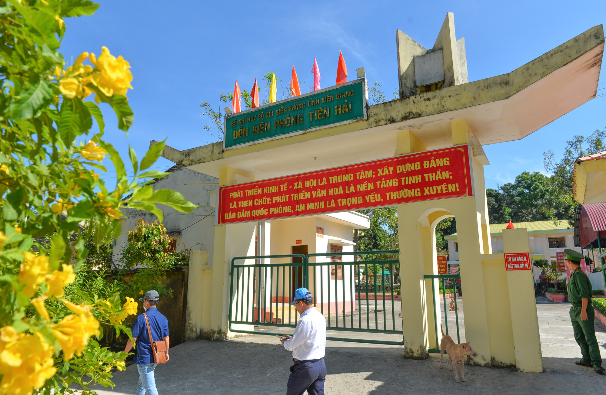 |
This area is identified as one of the key islands in the system of coastal islands in the southwestern sea of Vietnam. At this sacred border marker of the Fatherland, nearly 500 households steadfastly cling to the sea, building their economy with pride in their homeland's islands and seas. Photo: Thanh Cuong |
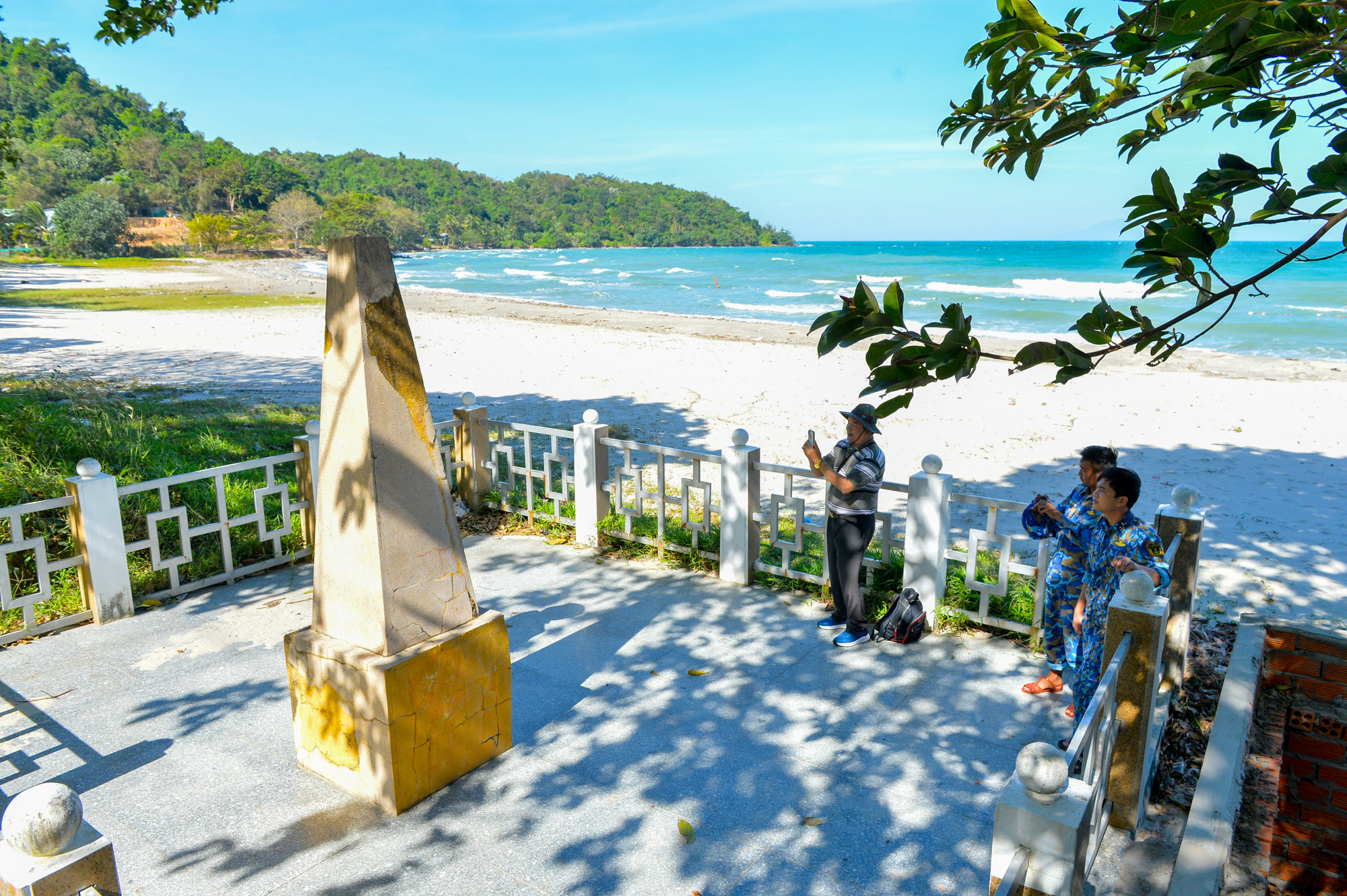 |
The sovereignty marker is located on the western side of Hon Doc Island, built in 1958. The people of Hon Doc preserve this marker as if protecting the sacred southwestern land of the Fatherland. Everyone who comes here feels very proud of their homeland's sea and islands. Photo: Thanh Cuong |
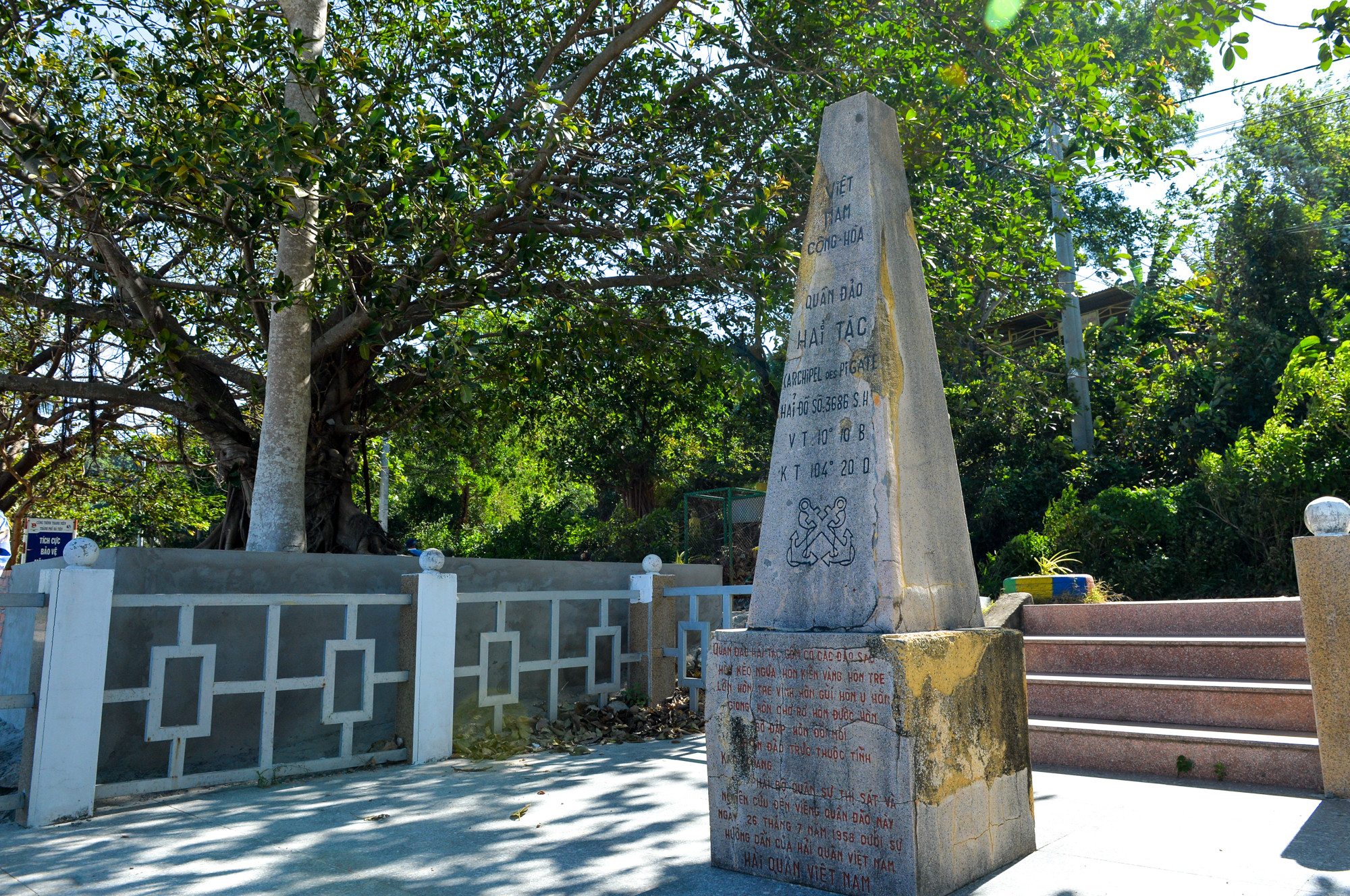 |
Over the centuries, the ink on the landmark has faded, but the inscription "Pirate Islands. Nautical chart number: 3686 SH; latitude 10 degrees 10'8; longitude 104 degrees 20'0" is still clearly visible. At the base of the concrete pillar, the inscription clearly states: "The Pirate Islands consist of the following islands: Hon Keo Ngua, Hon Kien Vang, Hon Tre Lon, Hon Tre Vinh, Hon Gui, Hon U, Hon Giang, Hon Cho Ro, Hon Duoc Non, Hon Bo Dap, Hon Doi Moi…". Photo: Thanh Cuong |
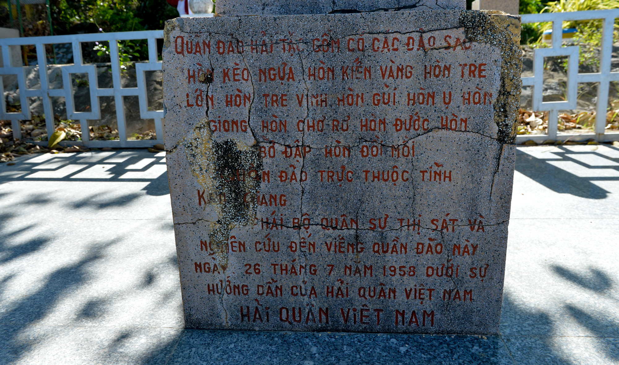 |
At the end of the inscription is a note: "Military delegation inspecting and researching, visiting the archipelago on July 28, 1958, under the guidance of the Vietnamese Navy." Sixty-four years have passed, and the sovereignty marker still stands tall in the frontline islands and seas. Photo: Thanh Cuong |
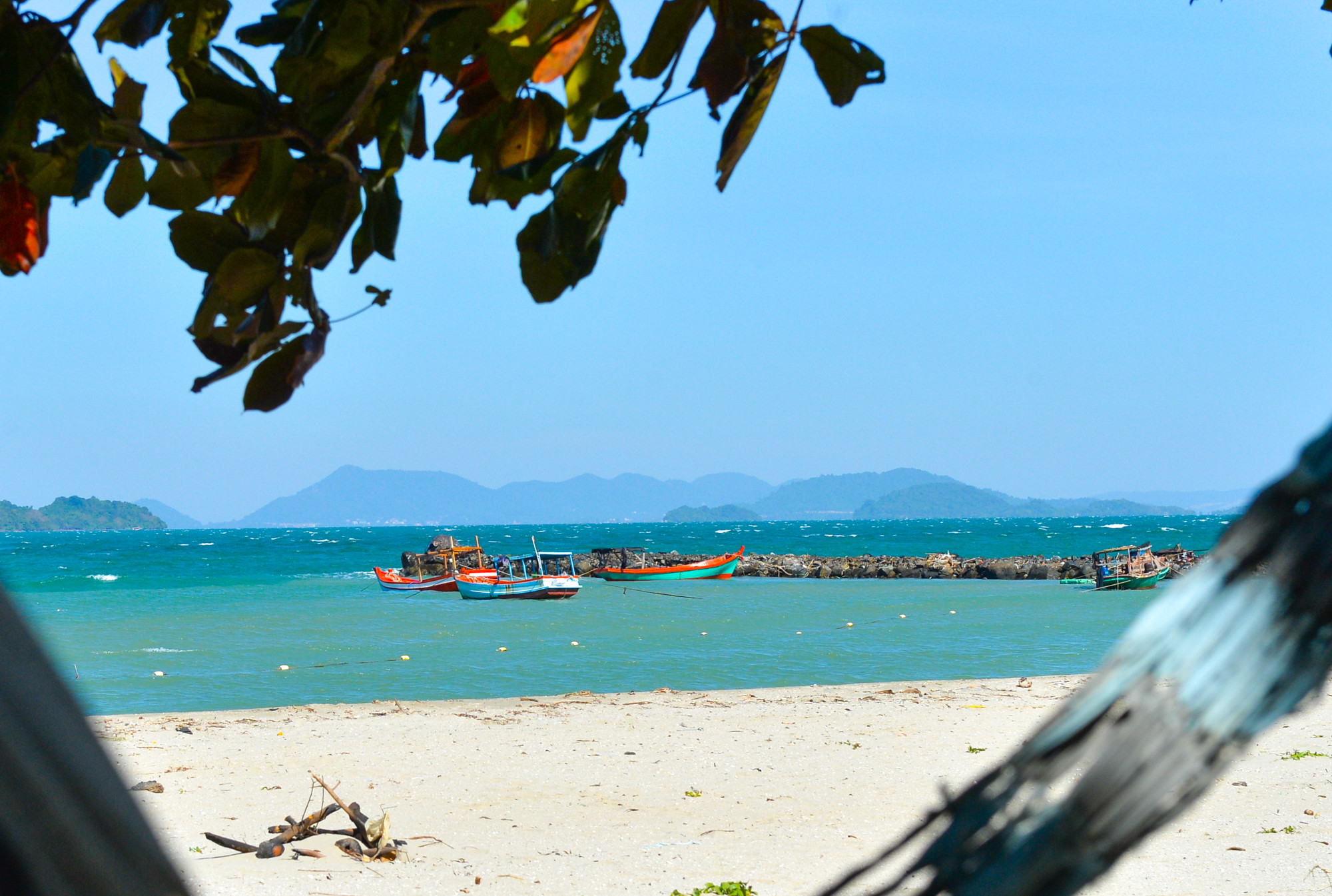 |
The landmark faces west, looking directly across the Cambodian sea. The people of Tien Hai island commune and tourists alike view the landmark as a part of the nation's history and a symbol of its noble mission regarding maritime sovereignty. Photo: Thanh Cuong |
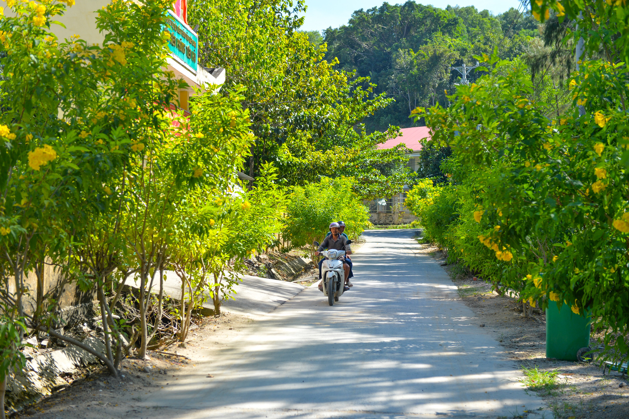 |
| Tien Hai island commune has been recognized as meeting the standards of a new rural area. The lives of the people on Hon Doc island have entered a new, more developed phase. In 2019, the island gained access to the national power grid. Roads, schools, and health stations have been invested in and upgraded, and fresh water is sufficient to meet the needs of the people. Photo: Thanh Cuong |
 |
Tien Hai is undergoing a transformation day by day. The unwavering will and resilience of generations of residents in this "frontline" area have shaped the image of a prosperous and beautiful island commune. Successive generations on this island are working together to build an increasingly prosperous life, becoming a vibrant destination in the Kien Giang coastal region. Photo: Thanh Cuong |


