
Applying technology to provide early warning of natural disasters.
Extreme and unpredictable weather patterns place increasingly high demands on meteorological and hydrological forecasting. In Nghe An, the modernization of the observation network, the application of digital models, satellite data, radar, and automatic rain gauge systems are gradually improving the quality of forecasts and warnings, helping the government and people proactively respond to natural disasters.
Extreme weather events today
Due to the impact of global climate change, weather patterns are extremely complex. Prolonged heatwaves followed by heavy rainfall over extended periods, causing widespread flooding and inundation, demonstrate an increasingly extreme climate trend.
According to data from the Central Vietnam Meteorological and Hydrological Station, in 2025, the entire country will experience many extreme heavy rainfall events, continuing to cause devastating floods from the northern provinces to the central and southern central provinces. By the end of September 2026, the weather situation remains extremely complex, with heavy rain and an earlier onset of cold weather.
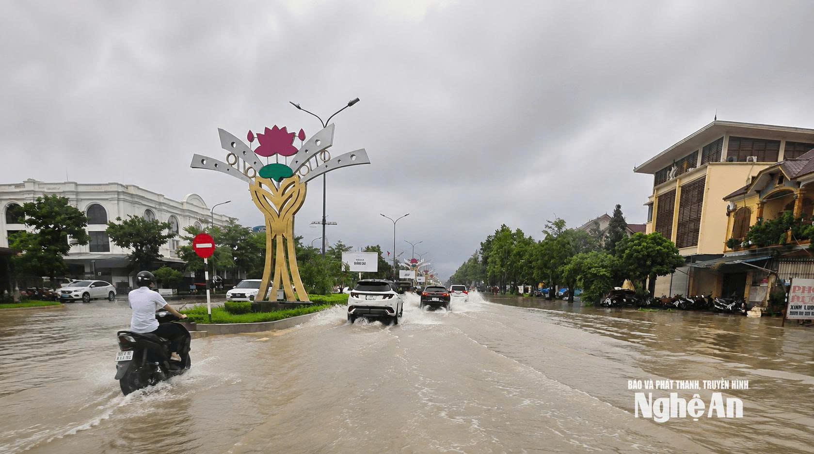
Notably, in the last months of 2026 and the beginning of 2027, the ENSO phenomenon will be in an El Niño state, meaning that sea surface temperatures in the central and eastern equatorial Pacific will be unusually warm compared to the multi-year average.Forecasts indicate that during the period from September to November 2026, the El Niño state will continue to maintain strong to very strong intensity with a 100% probability. Furthermore, from October to December 2026, the El Niño state is expected to reach its highest intensity, with a probability of up to 95%.
.jpg)
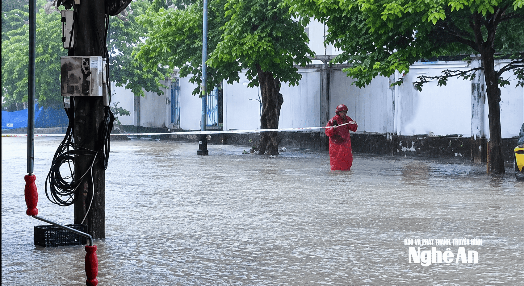
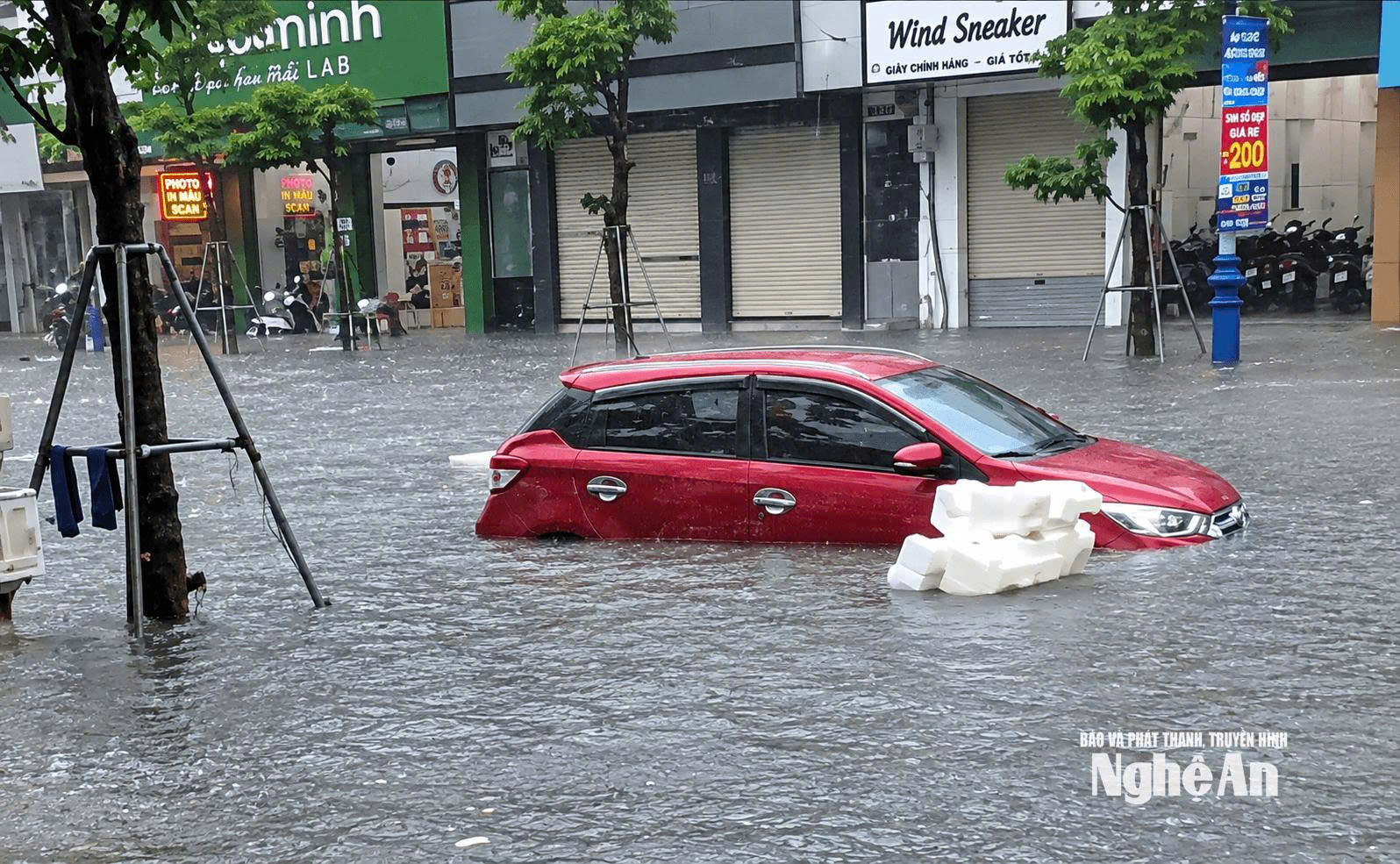
In mid-September 2026, due to the influence of the Northeast monsoon and a tropical depression, a record-breaking rainfall occurred, causing severe flooding in Hanoi. Following this, on September 19th, due to the influence of a tropical convergence zone, the Vinh urban area experienced a record-breaking prolonged rainfall. The rain lasted from 6 am to 4 pm. In particular, Truong Vinh ward and surrounding areas received over 401 mm of rainfall, causing severe flooding in many streets and areas.
Proactively applying technology in weather forecasting.
Given the increasingly complex weather and hydrological conditions, and to meet the demands of recent years, the meteorological and hydrological sector has prioritized investment in upgrading equipment and applying technology to improve the quality of forecasting.
According to Dr. Nguyen Xuan Tien, Director of the Nghe An Meteorological and Hydrological Station, under the Central Meteorological and Hydrological Station, in order to meet the increasingly high demands of meteorological and hydrological forecasting, the sector is increasing investment in equipment and improving capacity, while also leveraging resources and international cooperation to make forecasting and analysis more accurate.
At flood and storm prevention meetings, members of the Nghe An Provincial Steering Committee for Disaster Prevention and Control acknowledged that Vietnam's meteorological and disaster forecast bulletins have become more accurate and precise. In addition to the daily bulletins, which predict the timing of natural disasters, storms, and floods, the station has produced many in-depth forecast bulletins with high frequency and quality, reaching down to the commune and ward levels in real time.
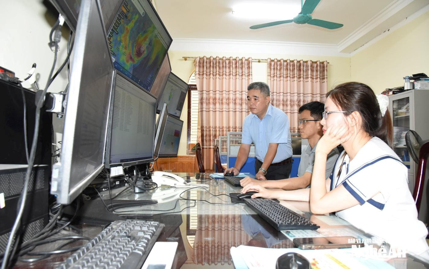
Specifically, for ultra-short-term, short-term, and hazardous weather forecasting technologies, the Central and regional Meteorological and Hydrological Stations have software that displays high-resolution satellite cloud imagery (10 minutes/image), integrated with forecasting models, weather radar imagery, and surface meteorological observation data; and categorizes different types of clouds…
In addition, the Central Meteorological and Hydrological Forecasting Center provides a specialized meteorological data collection, processing, and forecasting system, a nationwide digitalized rainfall tracking system, and a program for decoding regional observation data and automatic rainfall data for provincial stations, resulting in more accurate and real-time weather reports.
In addition to weather forecast bulletins, thanks to tools for analyzing weather data, thunderstorms, lightning, and convection indices, the stations also provide forecasts and warnings about thunderstorms, hailstorms, etc., to help people take precautions. For forecasts of tropical depressions and particularly large storms, the Central Meteorological and Hydrological Station provides independent and accurate forecasts compared to reputable meteorological centers such as the US Navy, Japan, and Hong Kong…
According to meteorological experts, Vietnam now possesses a synchronized system for collecting and processing specialized meteorological and hydrological data, creating a solid foundation for producing medium- and long-term weather forecasts such as monthly or seasonal forecasts. To improve accuracy, analysis and forecasting are combined with a variety of advanced tools from around the world, including the application of iTACS based on re-analysis data from the Japan Meteorological Agency, European re-analysis data mining tools, and climate analysis and statistical tools from the United States. In particular, the Vietnamese meteorological and hydrological sector has proactively adopted, mastered, and put into operation a modern numerical forecasting model transferred from the European Centre for Medium-Term Weather Forecasts (ECMWF).
In Nghe An, hydrological forecasting technology utilizes the MIKE NAM model (a computer tool used to convert rainfall data into river water volume (flow rate)). This model is equipped at stations in Quy Chau, Muong Xen, and My Ly areas. From the water flow monitoring results from these stations, the system calculates the corresponding water level and simulates the flow for the entire river system in the Nghe An area. For marine forecasting technology, the station uses the SWAN wave model and the SUWAT model to forecast coastal waves in Nghe An and predict sea level rise during storms and tropical depressions.
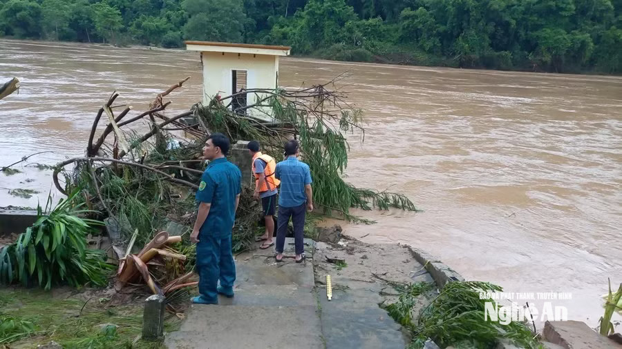
From 2025, after being reorganized, the Nghe An Provincial Meteorological and Hydrological Station received investment from the Central Meteorological and Hydrological Station to upgrade its automatic observation system. Thanks to this, along with the manual observation system at meteorological gardens, the station now has 45 automatic rain gauge stations throughout Nghe An province, enabling regular updates and improved forecast quality, especially hydrological forecasts, using advanced numerical models.
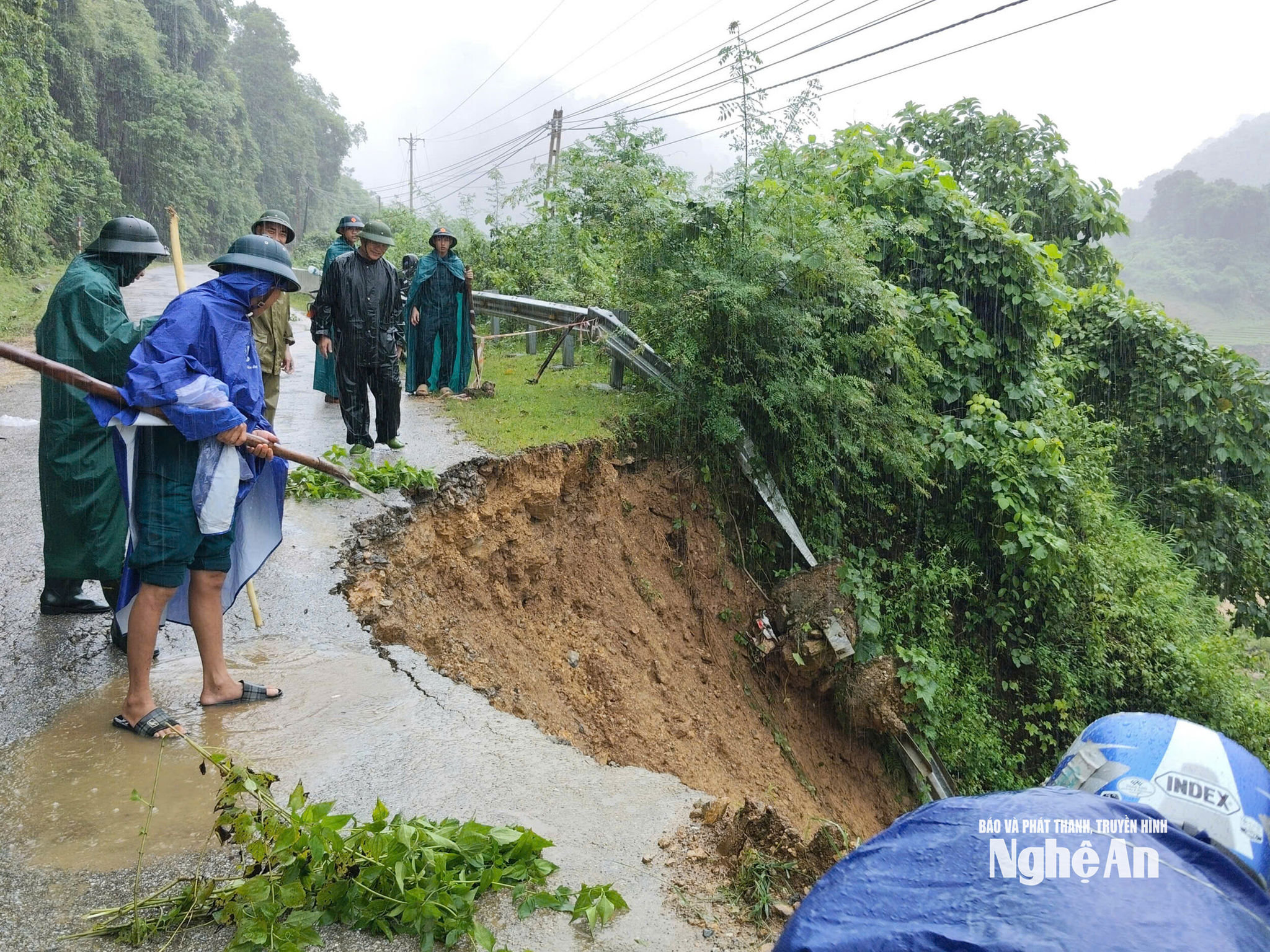
In addition, the Nghe An Provincial Meteorological and Hydrological Station also utilizes dozens of automatic rain gauge and water level monitoring stations installed by investors and businesses at hydropower projects and upstream areas to forecast rainfall and water levels flowing downstream. This includes the rain monitoring system of Ban Ve Hydropower Joint Stock Company, installed since 2019 in the reservoir area and upstream on the Lao side. Furthermore, the interconnected hydropower reservoirs downstream of the Ca and Hieu rivers also have monitoring systems to facilitate management and data sharing between the province and the relevant sectors.
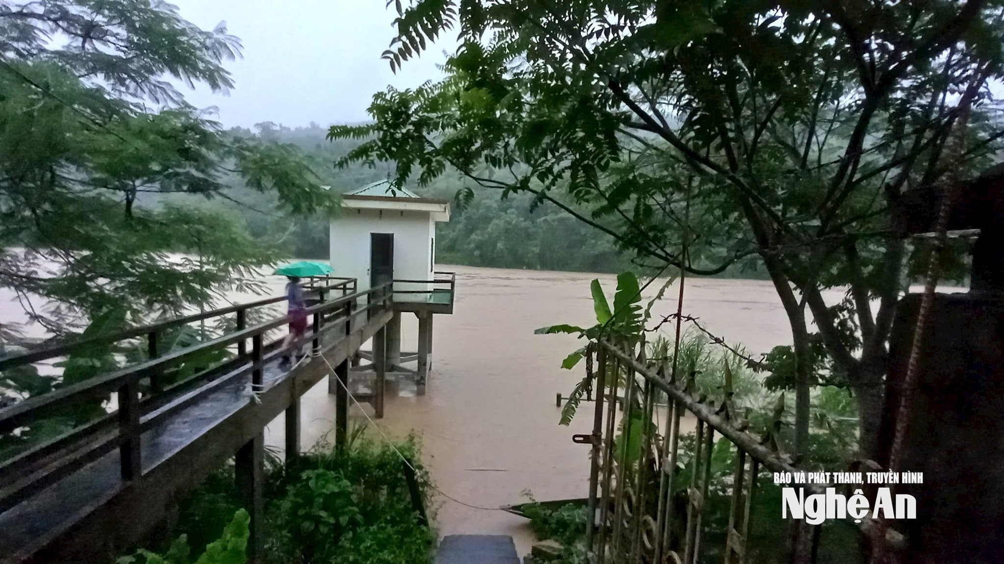
It can be said that, after numerous upgrades and investments, the meteorological and hydrological monitoring system in Nghe An has made remarkable progress towards modernization and automation. The combination of infrastructure invested by the State and socialized resources from hydropower enterprises, especially the expansion of the monitoring network to the upstream basin of neighboring Laos, has resulted in a continuous, synchronized, and interconnected warning data system. This is the core foundation for improving the accuracy of disaster forecasting and warning models.
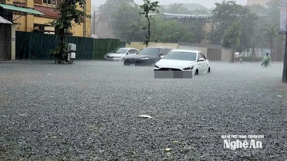
However, according to Dr. Nguyen Xuan Tien, Director of the Nghe An Meteorological and Hydrological Station, in the near future, while the station needs investment in equipment and improved meteorological and hydrological forecasting capabilities, local Party committees and authorities also need to proactively disseminate information to the public so that they can proactively respond to complex weather developments, ensuring safety of life and minimizing damage to people's and society's property.
According to Plan 344/KH/2021/UBND, starting in 2021, the People's Committee of Nghe An province issued a development plan for the network of specialized meteorological and hydrological stations with a vision to 2030. Accordingly, the province will invest in and increase the density of observation stations measuring weather and climate indicators to serve production and disaster prevention and control.


