
The mountainous region of Nghe An is making efforts to digitize land data.
Despite their vast territories, scattered populations, and inconsistent land records, the mountainous communes of Nghe An province are still striving to implement a program to enrich and clean up land data.
These initial results not only contribute to the modernization of management but also create an important foundation for digital transformation in the land sector.
Overcoming challenges starting from the grassroots.
As a newly established locality formed by merging six communes of the former Anh Son district, Thanh Binh Tho commune is facing a huge workload in the process of building a land database. The entire commune has more than 22,900 land parcels, a natural area of approximately 88km², and a population of nearly 12,000 people, of which the Thai ethnic minority accounts for about 33%.
The volume of records is enormous, but the commune only has two officials in charge of land management. Meanwhile, the area is large, with many hilly and mountainous regions, and the population is scattered, making the process of reviewing, verifying, and updating data more time-consuming compared to lowland areas.
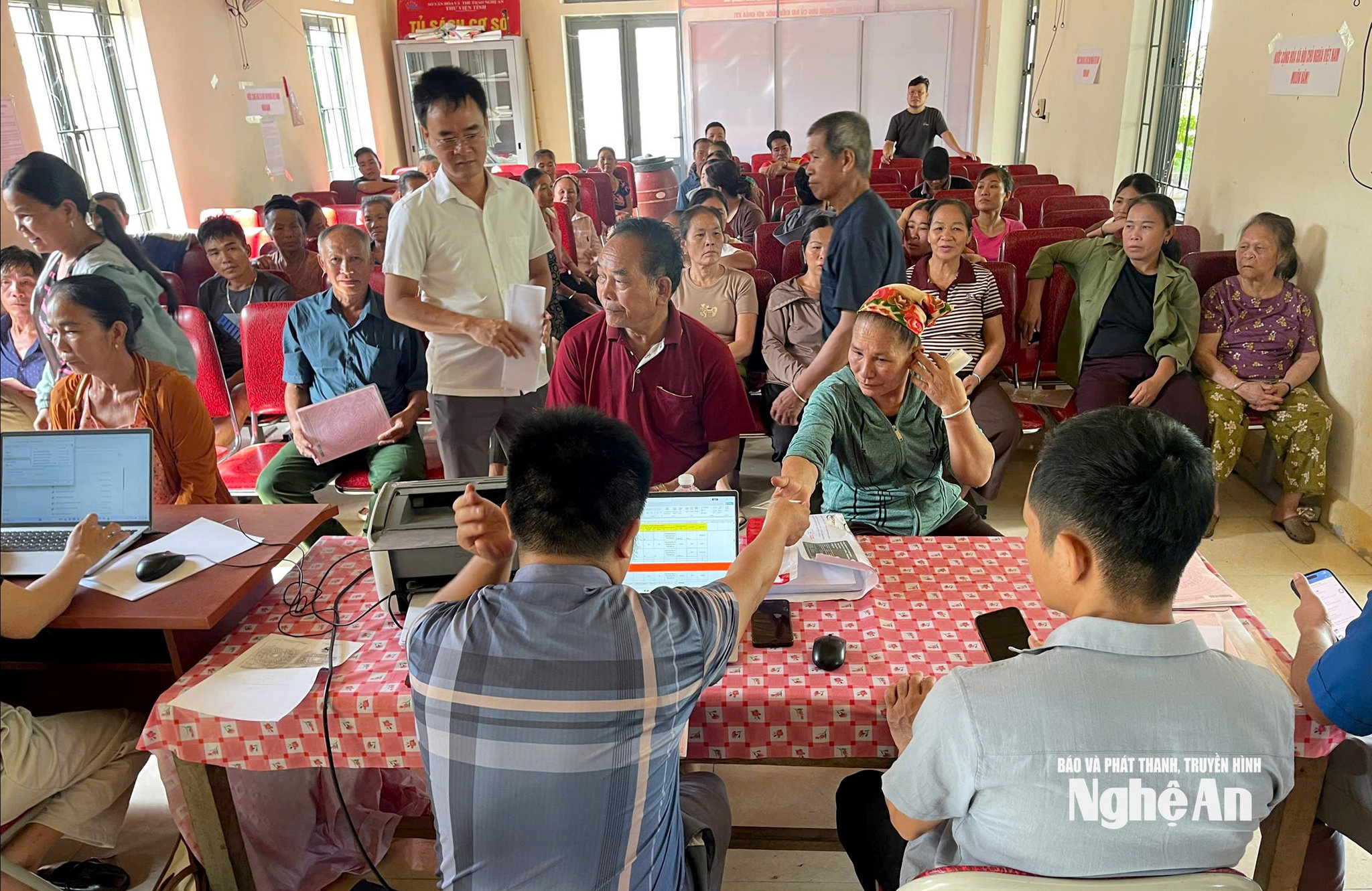
To ensure progress, the commune proactively deployed officials to the grassroots level. Working groups were established, each responsible for a specific area, directly working at the cultural centers of 11 villages, guiding residents in preparing documents, verifying information, and supplementing any missing paperwork.
Mr. Nguyen Dinh Dien, Head of the Economic Department of Thanh Binh Tho Commune, said that all files are divided into two groups to facilitate processing. The first group consists of land plots with complete land use right certificates and unified legal documents, meeting the conditions for immediate updating into the database. The second group includes files with missing documents, those without certificates, those with unregistered changes, or discrepancies between the records and the actual situation. For this group, the authorities guide people to find lost documents or complete the necessary procedures before updating the system.
"Through the review, the commune currently has 3,428 files that are eligible for immediate updating; another 19,564 files are still being supplemented and completed. The workload is enormous, so land administration officials hardly have any days off. We take advantage of working even in the evenings, on Saturdays and Sundays to serve the people, and we also divide into many teams, each team responsible for 2-3 villages, in order to shorten the processing time," Mr. Dien said.
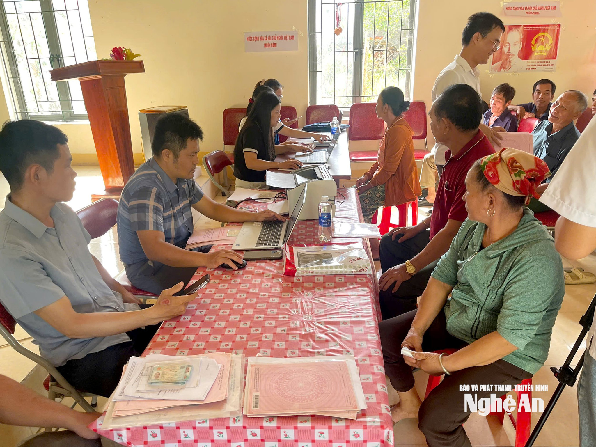
In remote villages, the difficulties are even greater as transportation and telecommunication infrastructure do not meet the requirements.
Ms. Vi Thi Hien, head of Dong Tho village in Thanh Binh Tho commune, said that 97% of the village's population are ethnic minorities, with many households far from the center, and telephone and internet signals are often intermittent. The villagers mainly work in the fields, so they are rarely home during the day.
"Many households work in the fields from morning until night, and some people work far away, so officials have been unable to meet them even after several visits. Many families have also lost their documents or don't fully understand land regulations, so we have to go with commune officials to each house to explain and guide people in supplementing their files. The people are all cooperative, but due to practical circumstances, the progress is sometimes not as expected," Ms. Hien shared.

Not only Thanh Binh Tho commune, but also Chau Tien commune (formed by merging four communes: Chau Thang, Chau Tien, Chau Binh, and Chau Thuan) is racing against time to complete the task of digitizing land data. The commune covers an area of over 247 km², comprising 22 villages, with a population of over 18,000 people, nearly 90% of whom are ethnic minorities. The vast terrain, many villages far from the center, and the high percentage of poor and near-poor households make collecting and verifying land records a significant challenge.
Mr. Nguyen Tien Hung, Chairman of the Chau Tien Commune People's Committee, said that the biggest difficulties are the large geographical area, the limited number of officials, many households working far away, and some land use right certificates being mortgaged at banks. In addition, the locality lacks equipment for digitization such as computers and large-format scanners, so the data updating process is slow.
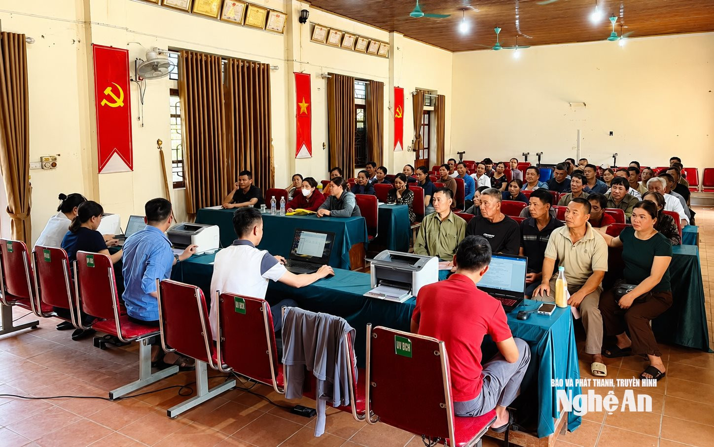
To address this, the commune established a Steering Committee and a working group, coordinating with local authorities to disseminate information and guide residents in preparing documents, while also reviewing all land cadastral records of the four former communes to build a land database.
According to Mr. Ha Van Minh, a specialist in the Economic Department of Chau Tien commune, who directly handles the applications, many certificates were issued many years ago, so personal information has changed. Officials have to cross-reference with the population database and verify the information multiple times. Despite the difficulties, the professional staff are still working overtime to ensure progress and gradually complete the land database according to requirements.
Determined to ensure progress
Currently, the construction of a land database in the province is being implemented with urgency in order to achieve the goal of digital transformation in the field of natural resources and environment.
According to a report by the Department of Agriculture and Environment, by July 2026, all 130 communes and wards had completed digital cadastral mapping for 4,117,473 land parcels. The entire province has built databases for 2,282,806 parcels; of which 1,177,536 parcels meet the criteria of "accurate - complete - clean - viable," while 1,105,270 parcels are still undergoing data enrichment and cleaning.
Simultaneously, the Ministry of Agriculture and Environment is focusing on completing the documentation for 1,834,667 land parcels for which no database has yet been established; and continuing to implement projects for supplementary surveying and cadastral map revision in areas lacking data or experiencing significant changes after land consolidation and exchange, covering an area of approximately 11,500 hectares.

According to Mr. Le Quang Huy, Deputy Director of the Department of Agriculture and Environment, the workload remains very large, especially in mountainous areas where the territory is vast, the population is scattered, many old records are lost or incomplete, while the professional staff is still thin after the implementation of the two-tiered local government model.
Mr. Huy stated that in the coming period, the Department will continue to closely coordinate with localities, the Land Registration Office, and other forces to review and standardize data; while also strengthening professional guidance and resolving difficulties arising during implementation.
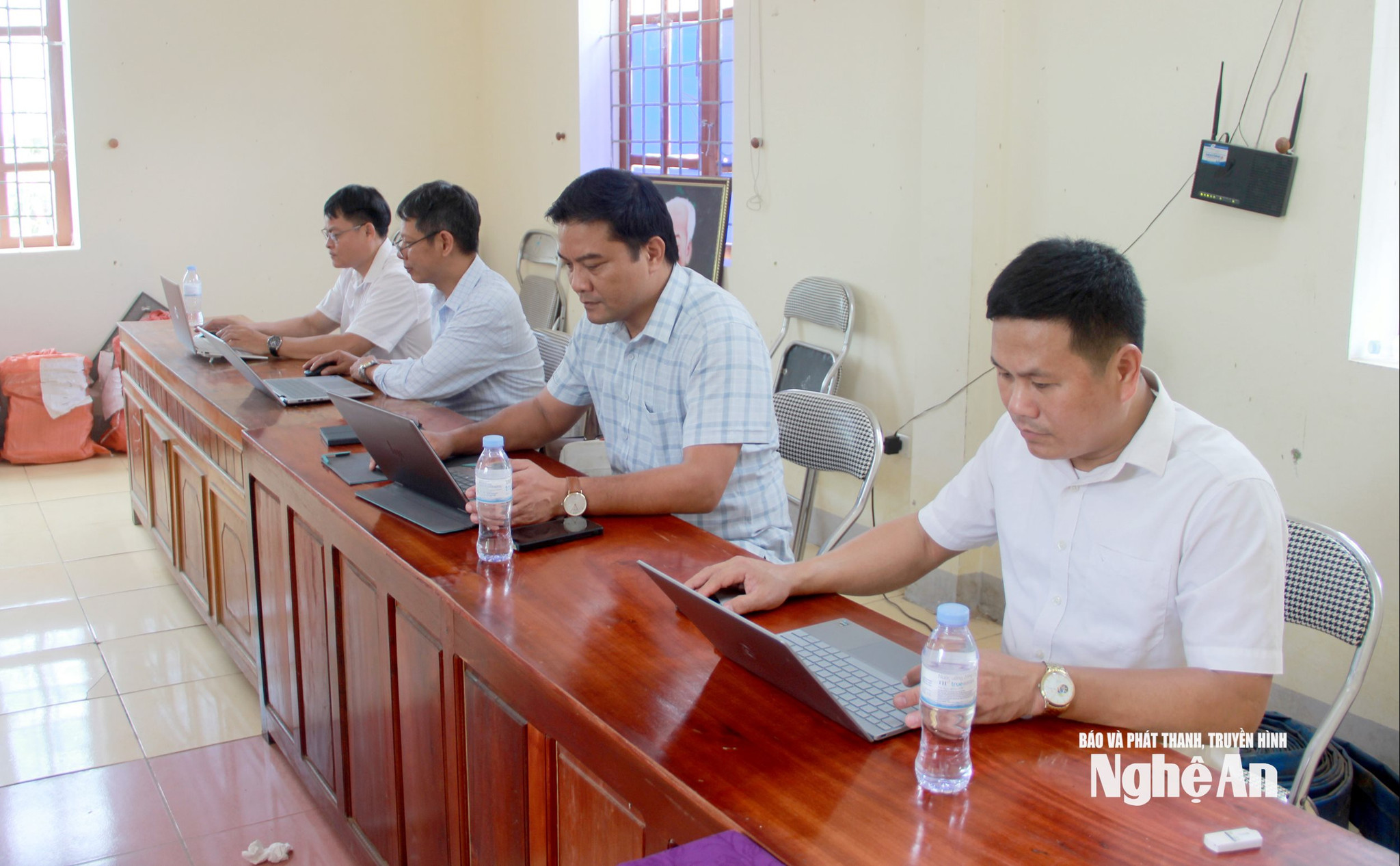
"For mountainous and remote communes, Nghe An will provide support in terms of expertise, human resources, equipment, and information technology infrastructure to accelerate the digitalization process. The view is that no locality should be left behind in the process of building the land database. This is not only an immediate task but also an important foundation for implementing digital transformation, improving the efficiency of state management of land, and serving the people better and better," Mr. Le Quang Huy emphasized.


