
Building a land database - how top-performing localities have done it.
Nearly 3.272 million land parcels in Nghe An province have been included in the national land information system database, of which more than 3.1 million parcels belong to Group 1 - the group that ensures "correct - complete - clean - livable" and ranks among the top 3 nationwide.
Behind those impressive figures lies a decisive and flexible approach, mobilizing the entire political system and, especially, the support of the people. Notably, many localities have adopted decisive and innovative approaches, ranking among the top in the province.
When digitized data is delivered directly to households.
Building a land database is not just a matter for specialized sectors. In localities leading in progress, this work has become a task for the entire political system, implemented down to the village and individual household levels.
In Hop Minh commune, the collection, updating, and correction of land information is carried out at village cultural centers on weekends and evenings, and the task force even goes directly to each household to guide people in completing any missing information.
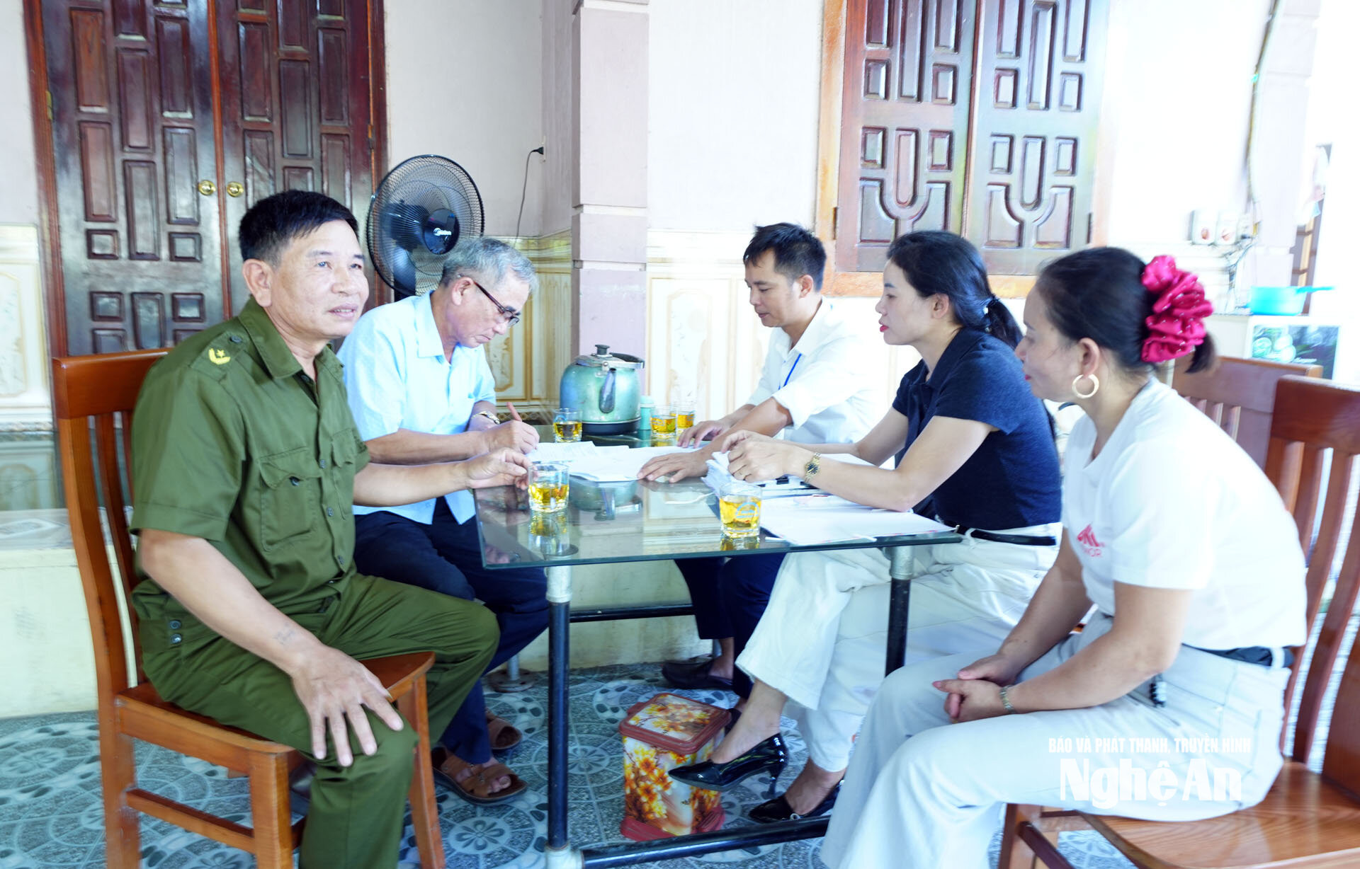
For Mr. Ngo Thanh Toan, residing in Dien Yen hamlet, Hop Minh commune, this direct support was particularly practical. When he had to travel to the South unexpectedly for family matters, upon his return, the task force came to his home to guide him in completing the necessary land registration procedures.
"Having the task force come directly to our households to support and assist us with land registration procedures makes future land transactions and management more convenient," Mr. Toan shared.
This is also how Hop Minh commune is addressing one of the biggest challenges in the data cleaning process: information is scattered, records are incomplete, and people do not have the opportunity to directly visit specialized agencies.
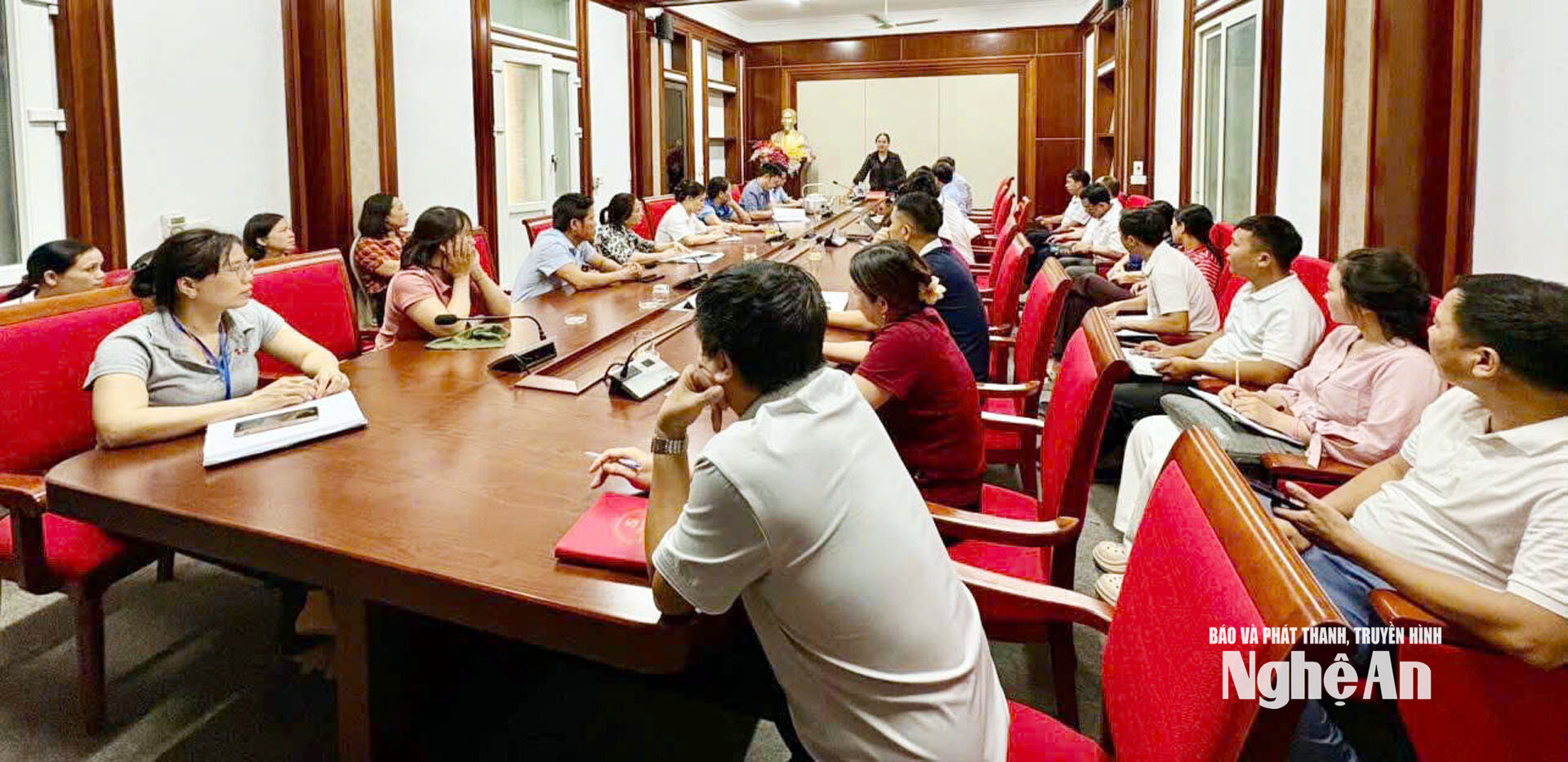
Hop Minh commune was formed by merging five former communes: Son Thanh, Bao Thanh, Vinh Thanh, Long Thanh, and Vien Thanh. After the merger, the area is large, the population is large, and the number of land parcels is numerous, meaning that a huge amount of data needs to be reviewed and completed.
The entire commune currently has 50,626 land plots. To date, approximately 50,273 plots have had their data basically cleaned, achieving a rate of 99.3%; the remaining plots in group 3 are 184. This rate is among the highest in the province.
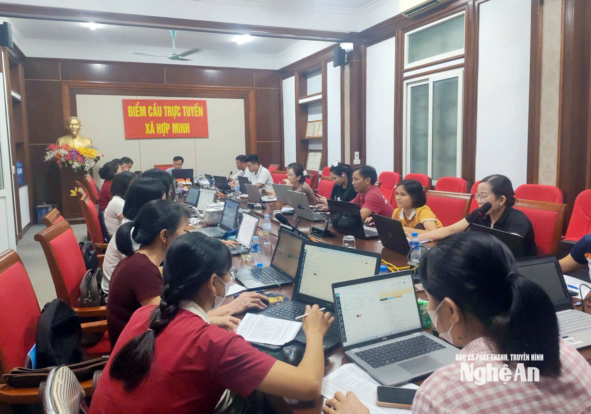
To achieve these results, the commune did not rely solely on its professional staff. During peak periods, Hop Minh commune mobilized up to 150 people to gather at the commune's People's Committee office to carry out the tasks. The participating force included teachers during their summer break, youth union members, officials, and civil servants; work was organized outside of regular working hours, on Saturdays, Sundays, and evenings.
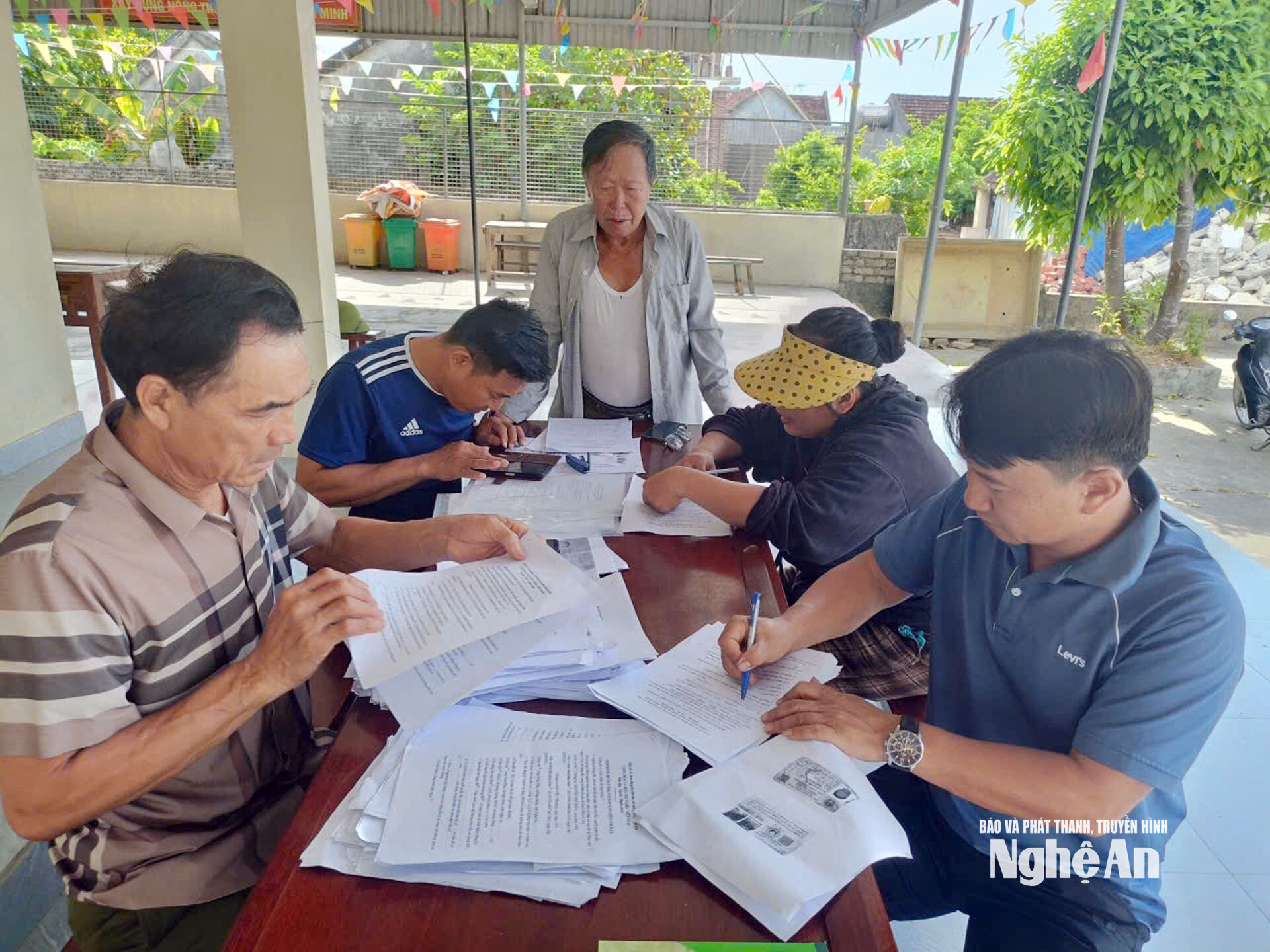
At the grassroots level, the Party branch secretary, village head, head of the Fatherland Front Committee, and heads of various associations also directly review and finalize land information.
According to Mr. Pham Quang Sang, Vice Chairman of the People's Committee of Hop Minh commune, the key factors contributing to this success are the decisive leadership from higher levels, the involvement of the local Party Committee and government, the coordination of the Yen Thanh Branch of the Land Registration Office, and especially the participation of the entire political system.
Notably, with 184 remaining data cases in group 3, the commune is coordinating with the Yen Thanh Branch of the Land Registration Office to review, clarify, and process them, striving to complete the process by mid-October 2026.
Mon Son: "Going to each village, visiting each household"
While Hop Minh commune demonstrates the effectiveness of mobilizing large forces to accelerate progress, Mon Son commune serves as proof of an approach suitable for mountainous and border areas.
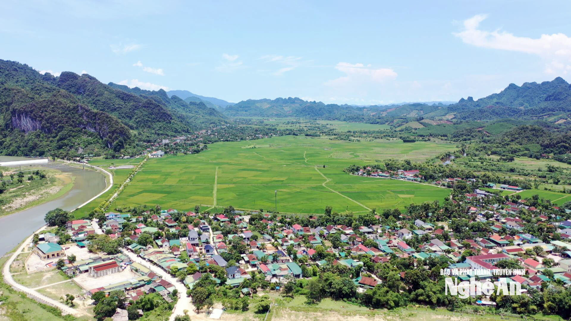
Mon Son commune has over 31,000 land plots, making it one of the mountainous communes with the largest number of land plots in the province. The area is vast, transportation is difficult, and people's access to information technology is uneven, especially in remote areas.
Task forces were established and went directly to each village. There, the specialized personnel coordinated with the village management board to disseminate information, mobilize support, guide people on how to do it, and work with the people to input data.
In Xieng village, Party Secretary Vi Thi Thuy said that as soon as they were assigned the task, the village organized a meeting of all organizations, assigning specific tasks to each branch and individual. Digital technology teams were mobilized to support the review and updating of data.
The approach was carried out with a focus on being close to the people: reviewing each house and household, and organizing meetings with residents to explain the purpose and significance of cleaning up land data.
For ethnic minority households and the elderly, where access to information technology is limited, youth union members, women's association members, and other community groups have been mobilized to provide support. The work is carried out not only during the day but also in the evenings and on weekends. To date, Xieng village has almost completed the updating of land ownership certificates and citizen identification cards for all households.
The approach taken by Mon Son commune goes beyond mere propaganda. The commune recognizes the need for specific guidance to enable residents to participate in the data completion process.
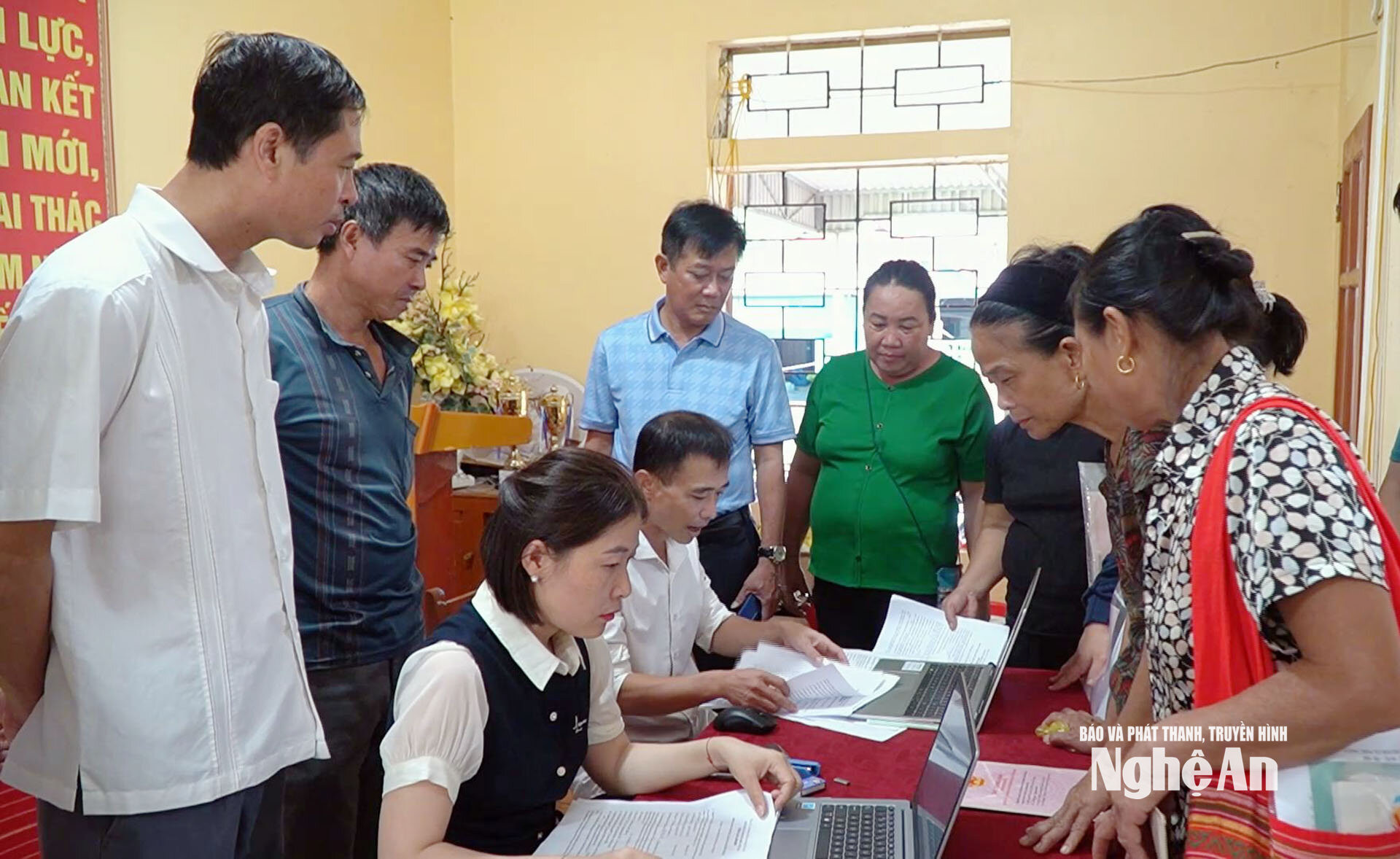
According to Mr. Vuong Dinh Huy, Vice Chairman of the People's Committee of Mon Son commune, to strengthen the workforce, the commune mobilized additional teachers, youth union members, and young people with information technology skills. Before going to the grassroots level, these individuals received professional training from specialized staff, ensuring they thoroughly understood the procedures so they could directly assist the people through hands-on guidance.
In mountainous areas, this approach is even more significant, as geographical distance, transportation conditions, and access to technology can become barriers for the local population.
Mon Son has 13 villages, of which Co Phat and Khe Bung are two unique villages located deep within the core area of Pu Mat National Park.
For these two projects, before implementation, the commune invited the Party Secretary, the village head, and the head of the Fatherland Front Committee to the commune office to explain the policy and provide guidance on the procedures. Afterwards, village officials went back to the commune to disseminate information and encourage people to understand the benefits of completing the land database.
Subsequently, the commune's forces directly entered the village. In addition to professional staff, the commune mobilized the Party Committee, the Fatherland Front, various organizations, and the Border Guard forces stationed in the area to participate in disseminating information, mobilizing support, and guiding the people.
From specific methods to province-wide results
.jpg)
As of October 6th, the total number of land parcels in the VBDLIS database in Nghe An province reached nearly 3.272 million. Of these, over 3.1 million plots belong to group 1 – the group ensuring “accurate – complete – clean – livable”; while over 162,000 plots (group 2) need further enrichment, cleaning, matching, and information supplementation. However, the entire province still has over 570,000 plots (group 3) for which no database has been established.
Notably, six localities have achieved 100% of land parcels having their databases established, including Chau Hong, Luong Minh, Chau Binh, Yen Na, Mon Son, and Anh Son. In addition, five communes achieved between 99% and nearly 100%; and four communes achieved between 98% and nearly 99%.
These figures show that the progress in building the land database in Nghe An is clearly progressing. But behind the results is not just an increase in the number of records entered into the system, but more importantly, the way localities organize the implementation.
From Hop Minh commune, we can see the effectiveness of mobilizing all forces in a coordinated manner, organizing flexible work both outside of regular working hours and directly reaching out to each household.
From Mon Son commune, it can be seen that in mountainous, remote areas, the decisive factor is staying close to the grassroots, choosing appropriate methods, and promoting the role of villages and hamlets, as well as those with information technology skills.
In particular, both localities showed a common point: When the Party committee and the government decisively got involved, and the people clearly understood the purpose and benefits of completing land data, this task became a joint effort of the entire political system.
Through flexible approaches at the grassroots level, Nghe An is aiming to build a land database system that is "accurate, complete, clean, and functional," unified, and for shared use, creating a foundation for better state management while bringing practical benefits to people and businesses.


