Storm No. 2 is strengthening, the center of the storm is likely to have level 17 gusts.
In the next 24 hours, the storm is likely to strengthen, the strongest wind near the storm center is level 13-14 (135-165km/h), gusting to level 16-17.
According to the National Center for Hydro-Meteorological Forecasting at 4:00 a.m. on August 1, the center of the storm was located at about 19.8 degrees North latitude; 119.4 degrees East longitude, about 660 km southeast of Hong Kong. The strongest wind near the center of the storm was level 11 (105-120 km/h), gusting to level 13-14.
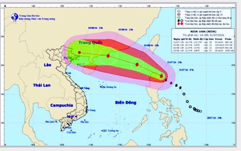 |
| Forecast of storm No. 2's path |
It is forecasted that in the next 24 hours, the storm will move in a West-Northwest direction, traveling 20-25km per hour and will continue to strengthen. At 4:00 a.m. on August 2, the center of the storm will be at about 21.5 degrees North latitude; 113.6 degrees East longitude in the sea area south of Hong Kong-Macau. The strongest wind near the center of the storm will be at level 13-14 (135-165km/h), gusting to level 16-17.
The northeastern sea area of the East Sea has storms and rain, strong winds of level 8-11, the area near the storm's eye has levels 11-14, gusts of level 16-17. The sea is very rough. Natural disaster risk level 3.
Danger warning area in the East Sea (storms and strong winds of level 6 or higher): area north of latitude 17 degrees North and east of longitude 110 degrees East.
In the next 24 to 48 hours, the storm will move in a West-Northwest direction, traveling 20-25km per hour. At 4:00 a.m. on August 3, the center of the storm was at about 22.3 degrees North latitude; 108.3 degrees East longitude, on the southern coast of Guangxi province (China). The strongest wind near the center of the storm is level 9 (75-90km/h), gusting to level 12-13.
On August 2, the northern part of the East Sea will have strong winds of level 8-10, and the area near the storm's eye will have winds of level 11-13, gusting to level 15-16. The sea will be rough. Disaster risk level 3. From the evening of August 2, the wind in the northeastern part of the Gulf of Tonkin will gradually increase to level 6-7, gusting to level 8-9. The sea will be rough.
From the night of August 2, the Northeast region will have moderate rain, with some areas in the Northeast experiencing heavy to very heavy rain. In the next 48 to 72 hours, the storm will move west-northwest at about 20km per hour.
In the North there is moderate to heavy rain, especially in the mountains and midlands there is very heavy rain.
In addition, due to the southwest monsoon, the South China Sea (including the Truong Sa archipelago) and the offshore waters of provinces from Binh Thuan to Ca Mau will have strong winds of level 5, sometimes level 6, gusting to level 7-8. Rough seas./.
According to VOV