Warning of thunderstorms, tornadoes, lightning, and widespread heavy rain in the Central region
(Baonghean.vn) - According to the National Center for Hydro-Meteorological Forecasting, from early morning and tomorrow (September 27) to the morning of September 28, thunderstorms will spread to other places in the North and North Central regions.
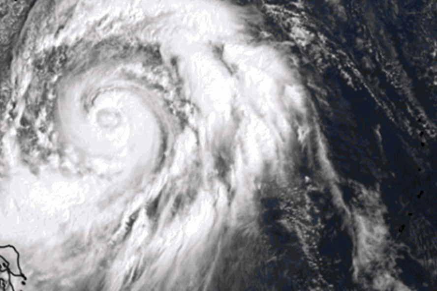
Currently (September 26):In the North, a cold air mass is compressing the low pressure trough moving south.
Forecast:Due to the influence of the low pressure trough compressed by the cold air mass analyzed above, tonight (September 26) in the mountainous provinces of the North, there will be showers and thunderstorms in many places, the Viet Bac region will have moderate rain, heavy rain and strong thunderstorms. During the thunderstorm, there is a high possibility of thunderstorms, tornadoes, lightning and strong gusts of wind.
 |
| In the North, a cold air mass is compressing the low pressure trough moving south. |
From early morning and tomorrow (September 27) to the morning of September 28, thunderstorms will spread to other places in the North and North Central regions, the mountainous areas in the North will continue to have moderate to heavy rain. On September 28-29, in the provinces from Thanh Hoa to Quang Binh, there will be moderate to heavy rain (common rainfall 30-50mm/24 hours).Disaster risk level due to tornadoes, lightning, hail and heavy rain: level 1.
Warning:From September 30 to October 1, in the provinces from Thua Thien Hue to Quang Ngai, there will be moderate rain, heavy rain, and very heavy rain in some places (common rainfall 40-70mm/24 hours).
From September 28, the wind will shift to the northeast in the mainland of the Northeastern provinces, level 2-3, level 3 in coastal areas; the weather will turn cooler. In the Gulf of Tonkin, from early morning of September 28, the wind will shift to the northeast, gradually increasing to level 6, gusting to level 7; rough seas.Disaster risk level due to strong winds in the Gulf of Tonkin: level 1.
Be on the lookout for the arrival of a new storm.
In September 2018, cold air from the north tends to become stronger, the first cold air appeared at the beginning of the month; in addition, it may also be affected by the tropical convergence zone or other tropical disturbances, the range of activity tends to gradually shift southward through the northern central region, so the northern region is still at risk of widespread rain, the northern and central central regions begin to enter the rainy season and rainfall will tend to increase. The northern mountainous region, the mountainous provinces of the North Central region should be on guard against heavy rains that can cause flash floods and landslides, low-lying areas should be on guard against flooding.
In September 2018, there are likely to be about 2-3 storms and tropical depressions in the East Sea. During the month, the whole country, including the East Sea areas, should continue to be on guard against dangerous weather phenomena such as strong thunderstorms, tornadoes and strong gusts of wind. Therefore, after storm No. 6, it is necessary to be on guard against the appearance of storm No. 7.
From now until the end of the month, the average temperature nationwide will generally be approximately the same as the average of many years. Total rainfall nationwide will generally be approximately below the average of many years in the same period.
Currently, in the Northwest Pacific region, there is storm Trami (the storm name proposed by Vietnam, this is the 24th storm in the Northwest Pacific region in 2018. In the next 3-5 days, storm Trami will move mainly in the West direction but is unlikely to enter the East Sea to become storm number 7.


