
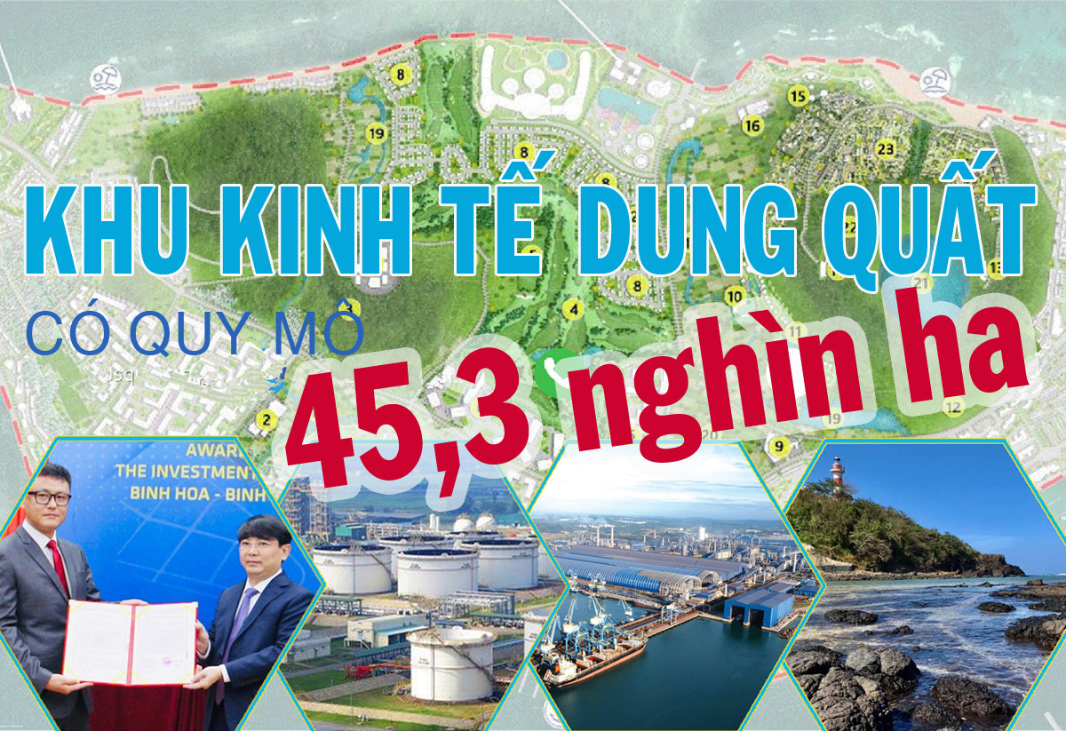
The Dung Quat Economic Zone covers an area of 45,300 hectares.
The Prime Minister has approved the overall adjustment of the master plan for the Dung Quat Economic Zone until 2045.
 |
 |
 |
According to the plan, the Dung Quat Economic Zone will develop into one of the most dynamic maritime economic centers, with a comprehensive, multi-sectoral economy of national importance. It will leverage its coastal urban landscape as an attraction, and use its developed infrastructure as a foundation to boost the maritime economy, aiming for prosperity.
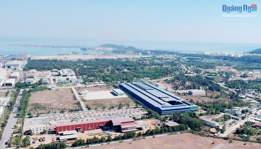 |
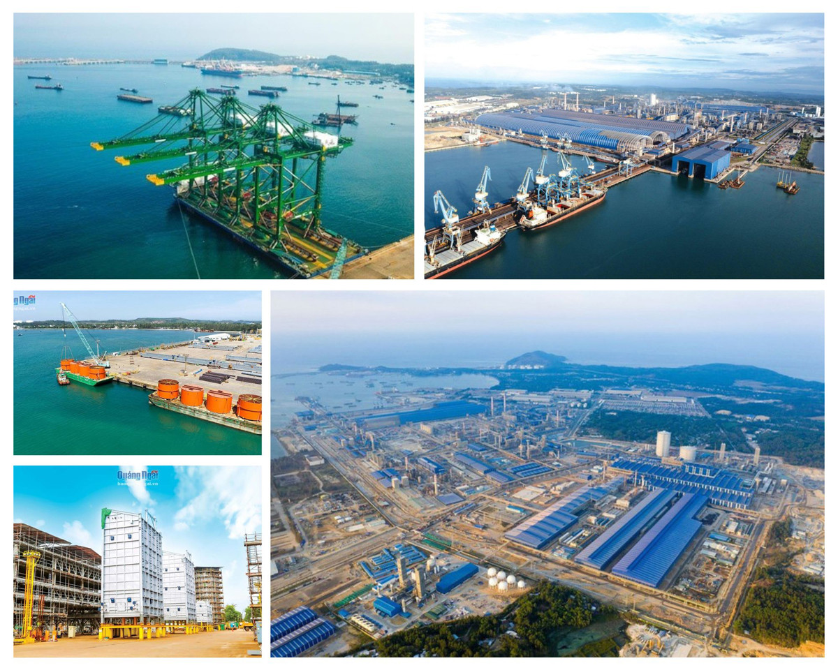
An aerial view of the Dung Quat Economic Zone. |
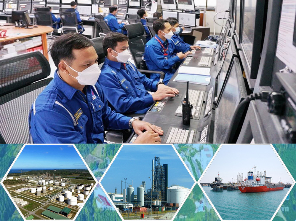
The goal is to develop this area into a multi-sector, integrated economic zone encompassing industry, commerce, services, tourism, urban development, and agriculture, forestry, and fisheries. The focus will be on the national petrochemical and energy industries, chemical industry, and heavy industry, with key sectors including steelmaking, shipbuilding, and other industries linked to the development of deep-water ports.
 |
By 2030, the Dung Quat Economic Zone is projected to have a population of approximately 347,000 people (295,000 urban residents and 52,000 rural residents); with an urbanization rate of around 85%. The vision for 2045 is for a population of approximately 575,000 people (546,000 urban residents and 29,000 rural residents); with an urbanization rate of around 95%.
 |
The Dung Quat Economic Zone is one of the important transportation hubs, trade centers, and international exchange points in the Central and Central Highlands regions of Vietnam. It also holds a crucial position within the Central Vietnam Key Economic Zone and in terms of national security and defense.
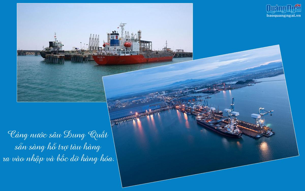 |
Therefore, this area is planned to have a transportation system including ports, airports, and logistics service centers, covering an area of approximately 608 hectares. Of this, the Dung Quat, Sa Ky, Tinh Hoa - Tinh Ky, and Ly Son port areas cover approximately 300 hectares; Ly Son airport covers approximately 153 hectares; and the port and logistics service center covers approximately 155 hectares.
The Dung Quat Economic Zone is planned to cover an area of 45,300 hectares; bordered to the east by the East Sea; to the west by the North-South railway; to the south by Quang Ngai City; and to the north by Quang Nam province.
According to the revised plan, the total area is approximately 45.3 thousand hectares, including about 33.4 thousand hectares of mainland, over 1.4 thousand hectares of Ly Son Island (comprising the existing over 1 thousand hectares of the island and new development space), and about 10.7 thousand hectares of water surface (sea area).
 |
The area is divided into five main functional zones: North Dung Quat urban, industrial, and service zone; Chau O - Binh Long urban, industrial, and service zone; South Dung Quat urban, industrial, and service zone; Southeast Dung Quat urban and service zone; and Ly Son urban zone.
 |
Specifically, the urban areas and urban zones have a total area of approximately 14,000 hectares, including: Ly Son urban area (Ly Son district), Tinh Phong urban area (Son Tinh district) and 4 core urban areas of Binh Son urban area (Doc Soi, Chau O - Binh Long, Van Tuong, Dong Nam Dung Quat), Tinh Hoa - Tinh Ky urban area (Quang Ngai city), of which the land for civil construction is approximately 9,300 hectares (including residential land, public land, green spaces, urban transportation, and labor union facilities).
The tourism and service zone, covering an area of approximately 713 hectares, includes: the Thien Dang - Khe Hai area in Binh Thanh commune; Thuan Phuoc lagoon in Binh Thuan commune; Le Thuy and Ganh Yen beaches in Binh Tri and Binh Hai communes; and Binh Chau beach in Binh Chau commune and Ly Son district.
 |
The existing functional zones within the Dung Quat Economic Zone are being adjusted and reorganized, such as: the Dung Quat Power Center is being supplemented with a gas-fired power center, covering an area of approximately 103 hectares, located in Binh Thanh commune, Binh Son district.
 |
Industrial parks, industrial clusters, and industrial-urban-service zones have a total area of approximately over 8,000 hectares, with 7 concentrated industrial development areas. Of these, the adjusted industrial parks and clusters have a total area of approximately 4,200 hectares (West Dung Quat Industrial Park, approximately 355 ha; East Dung Quat Industrial Park, approximately 2,200 ha; Binh Hoa - Binh Phuoc I Industrial Park, approximately 610 ha; Binh Hoa - Binh Phuoc II Industrial Park, approximately 305 ha; Tinh Phong Industrial Park, approximately 138 ha; VSIP Industrial Park, approximately 582 ha; Binh Nguyen Industrial Cluster, approximately 20 ha).
The plan includes supplementary planning for the Tinh Phong Industrial Cluster, approximately 75 hectares; and supplementary planning for industrial-urban-service zones, approximately 3,700 hectares (Dung Quat I Industrial-Urban-Service Zone, approximately 165 hectares; Dung Quat II Industrial-Urban-Service Zone, approximately over 1,000 hectares; and Binh Thanh Industrial-Urban-Service Zone, approximately 2,500 hectares).


