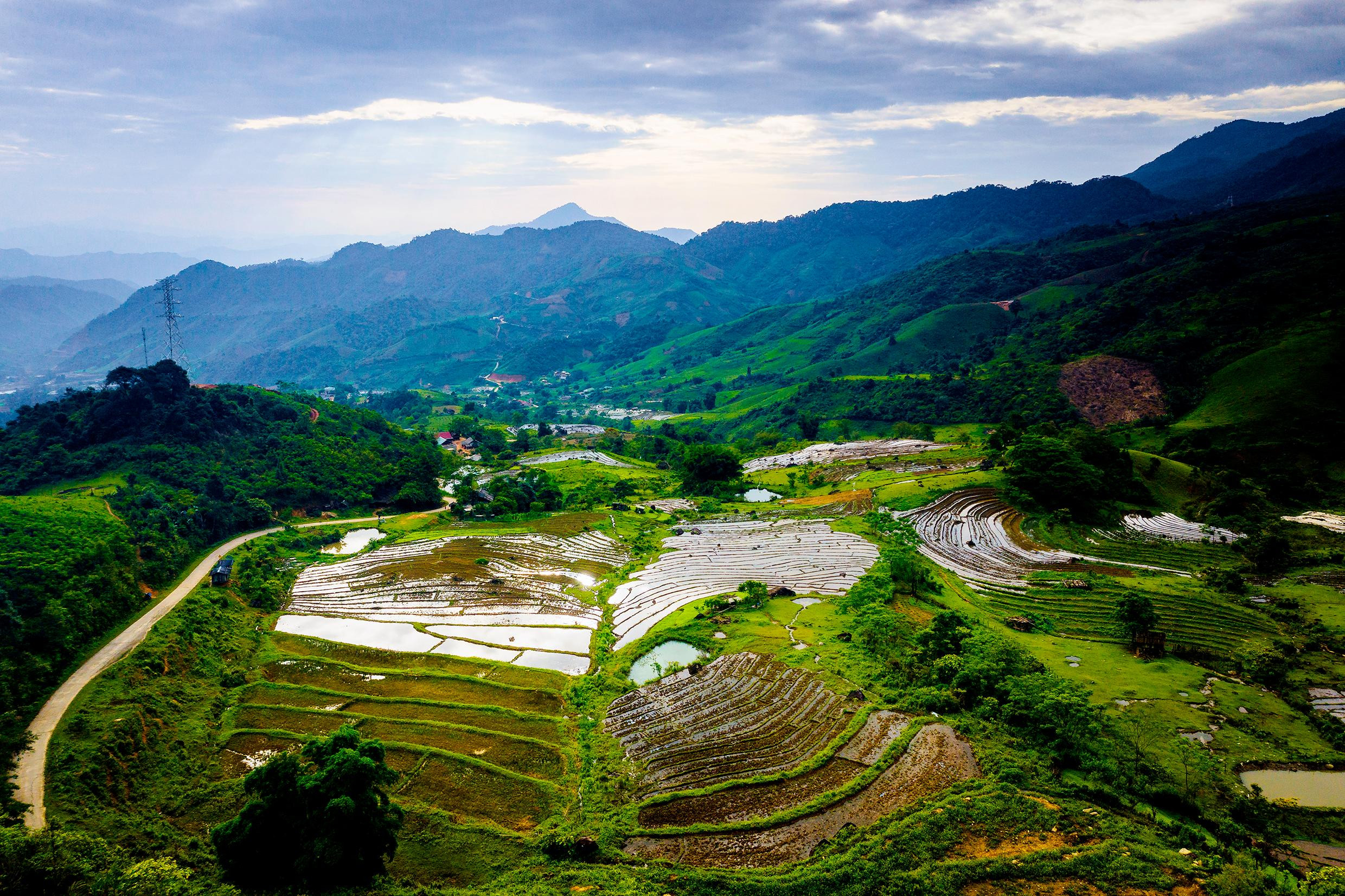
Located on the majestic Truong Son mountain range, Puxailaileng is the highest mountain in the North Central region. At the foot of Puxailaileng is the living and working place of the Mong ethnic minority groups in the communes of Tay Son and Na Ngoi (Ky Son). This is the time of the flood season in Puxailaileng. People are entering a new production season on the terraced fields. The life, activities and scenery under the "roof" of the Western Nghe An appear like a painting, stirring the hearts of anyone who visits.
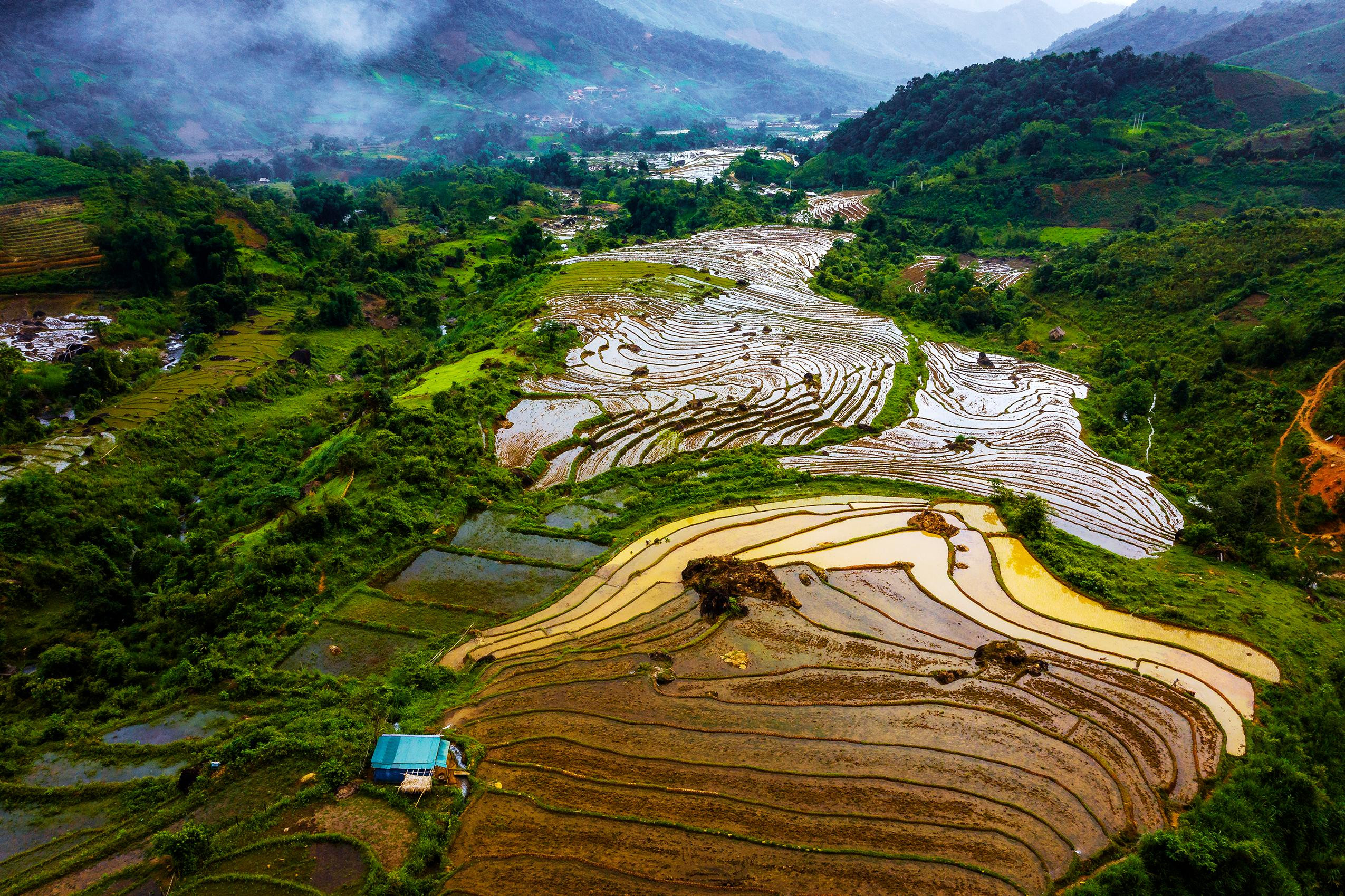 |
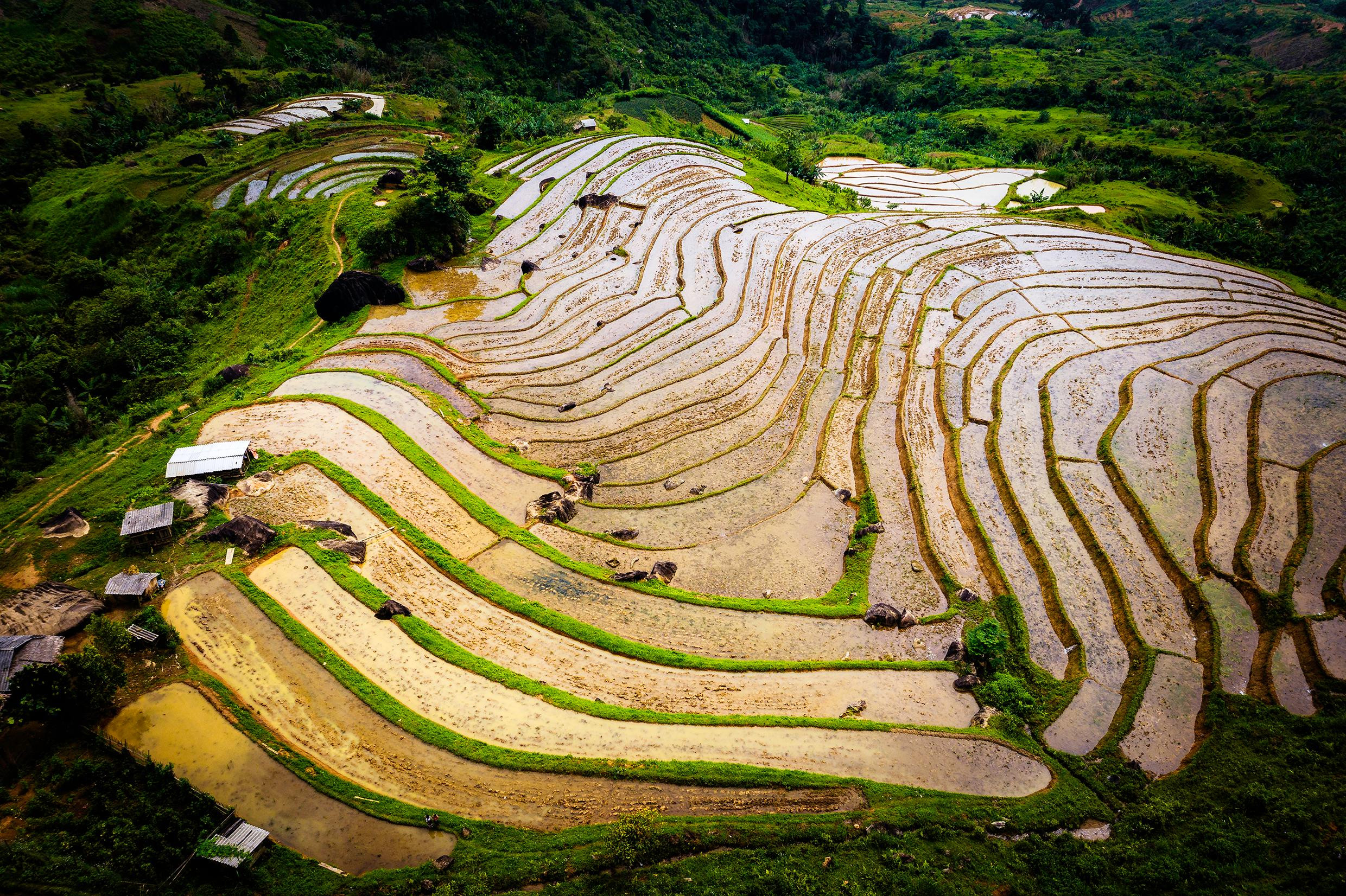
Located on the majestic Truong Son mountain range, Puxailaileng is the highest mountain peak in the North Central region. Looking down from the mountain are the terraced fields of the Mong people. Photo: Ho Nhat Thanh |
 |
| A vivid picture at the foot of Puxailaileng. Photo: Ho Nhat Thanh |
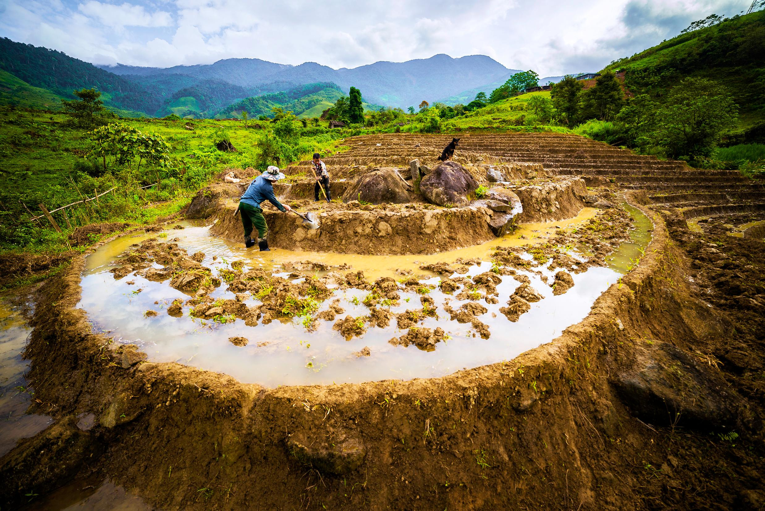 |
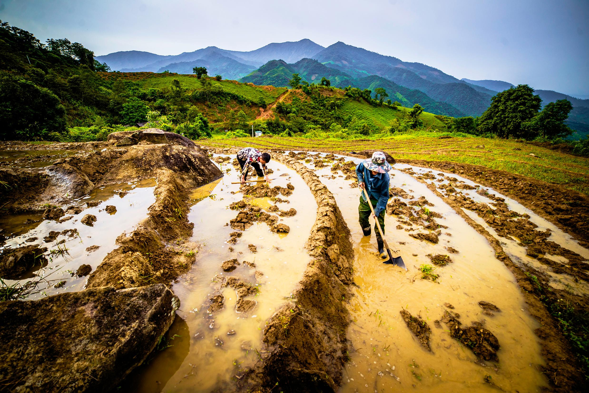
Mong people build embankments to bring water to terraced fields. Photo: Ho Nhat Thanh |
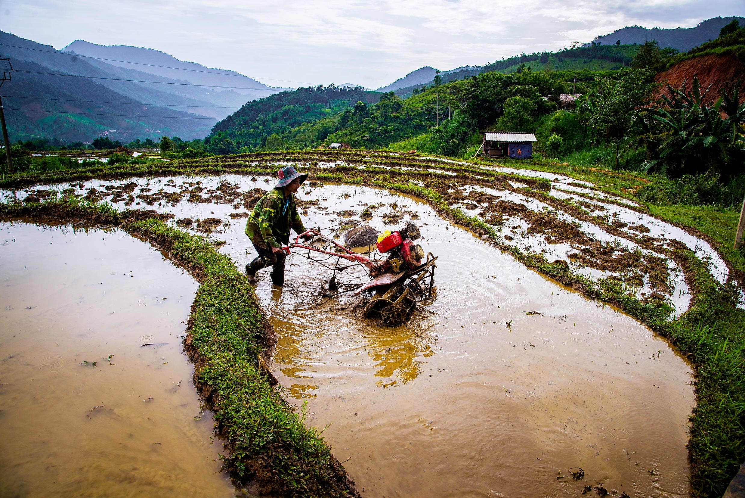 |
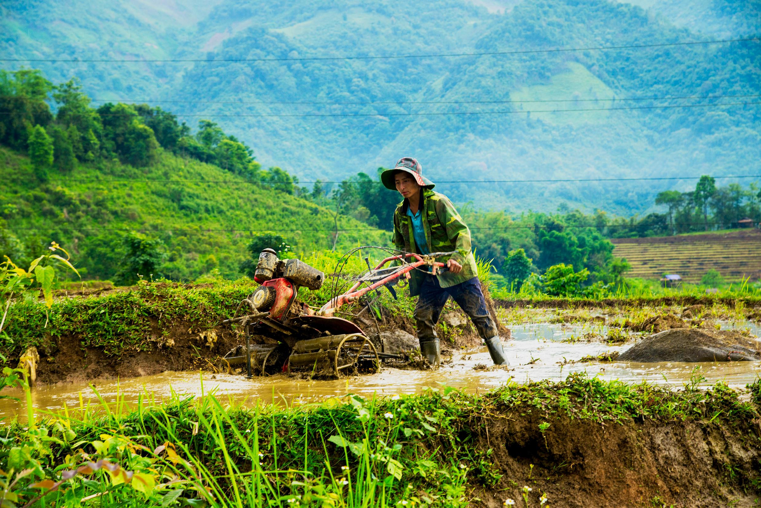
| Working in wet rice fields with "iron buffaloes". Photo: Ho Nhat Thanh |
 |
Pu Valley, Buoc Mu village, Na Ngoi commune, water has returned to the fields. Photo: Ho Nhat Thanh |
 |
| The photo makes anyone who visits Puxailaileng flutter. Photo: Ho Nhat Thanh |
 |
| When water flows to the village. Photo: Ho Nhat Thanh |
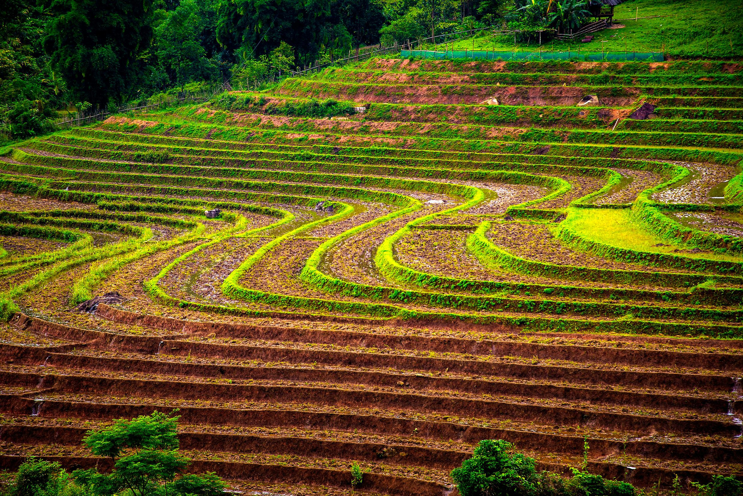 |
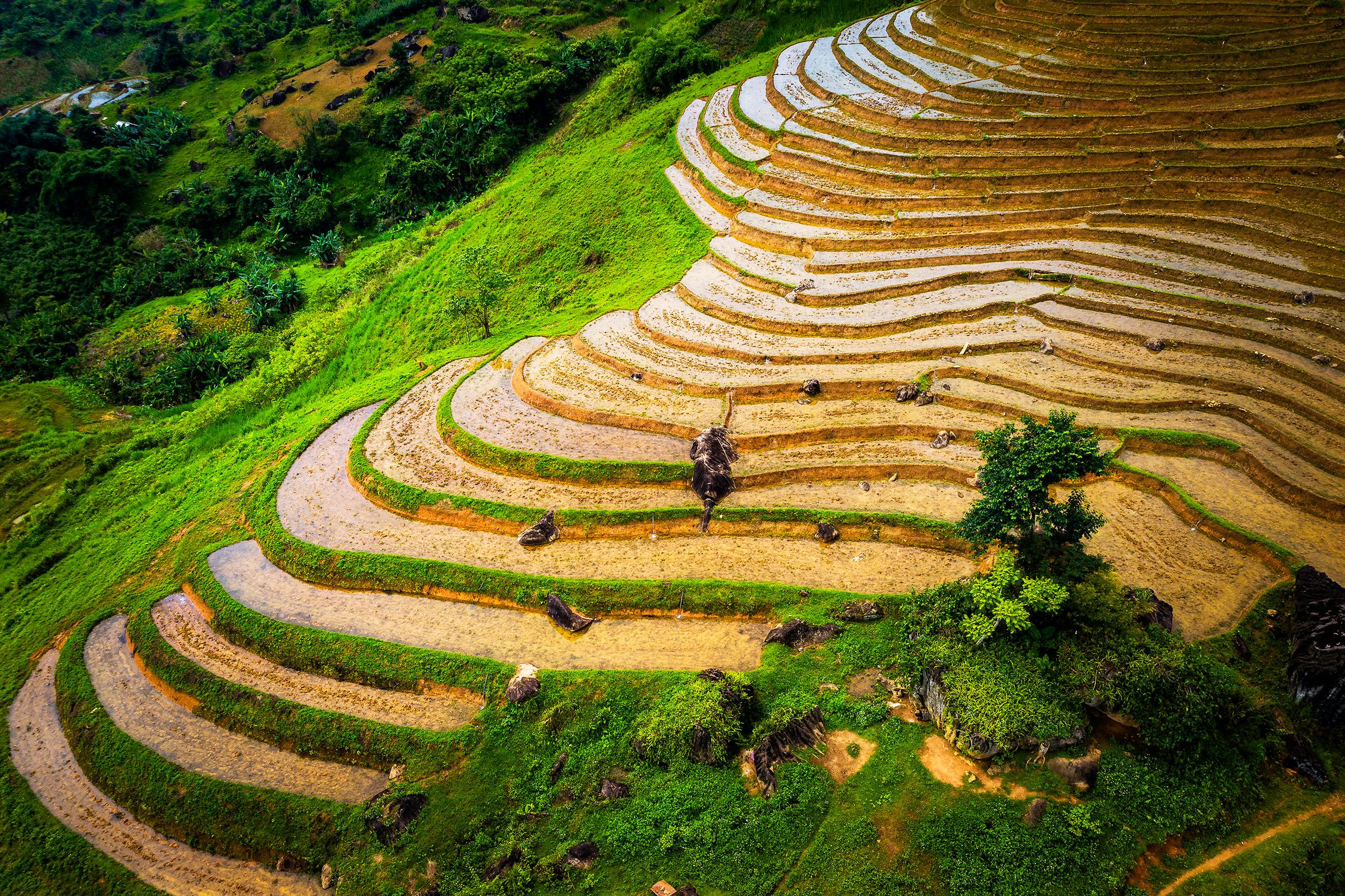
| "Waves" at the foot of Puxailaileng. Photo: Ho Nhat Thanh |
 |
| Halfway up the mountain. Photo: Ho Nhat Thanh |
 |
Water flows into the valley of Buoc Mu village, Na Ngoi commune. Photo: Ho Nhat Thanh |
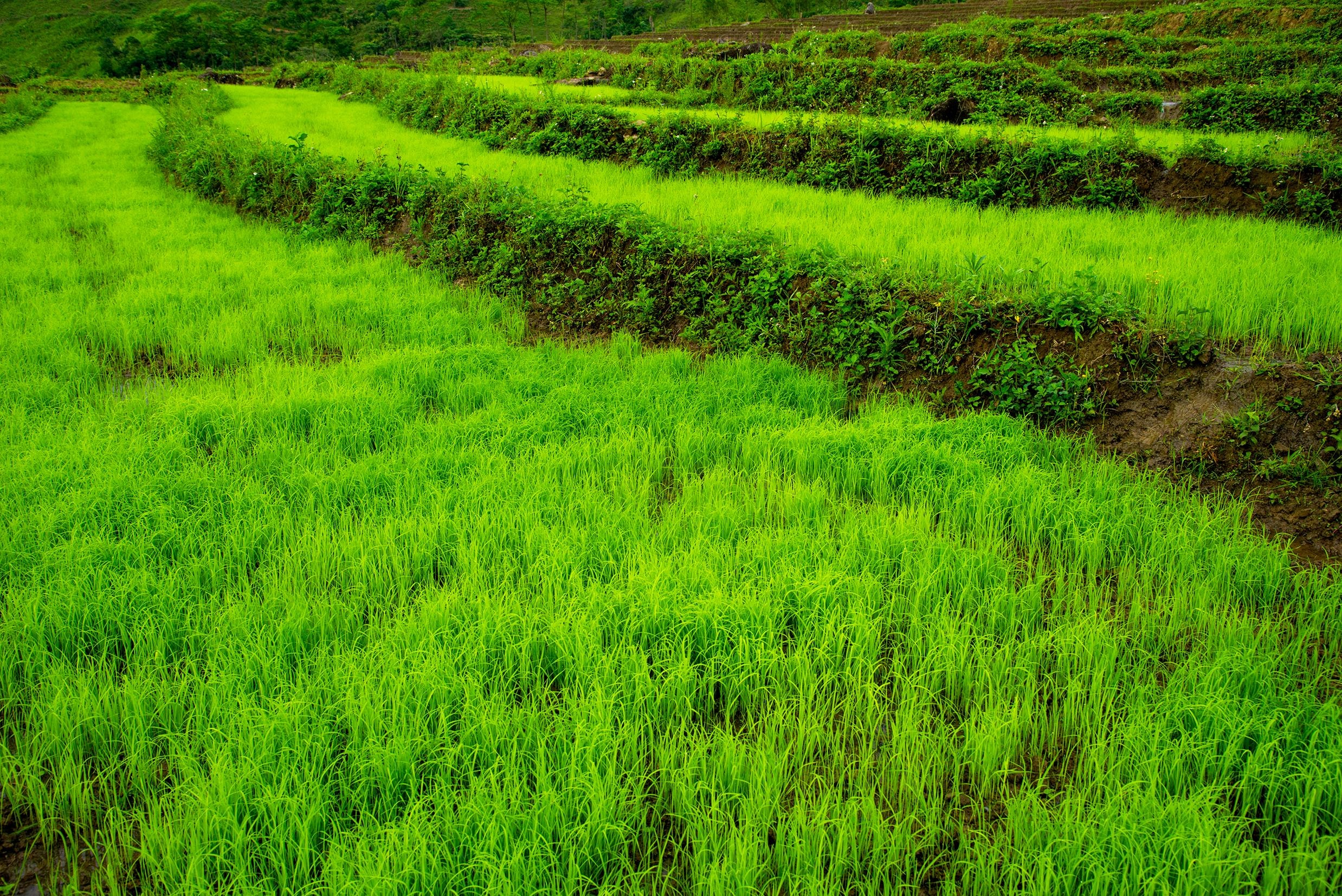 |
Young rice seedlings are ready to be planted in the field. Photo: Ho Nhat Thanh |
")


.jpg "Người \"đứng mũi\" dưới chân núi Puxailaileng -Bài cuối: Đảng viên đi trước, bản làng theo sau")
.jpg "Người \"đứng mũi\" dưới chân núi Puxailaileng - Bài 1: Củng cố vai trò \"hạt nhân\" của chi bộ thôn bản")

