Weather 3/8: Hot and sunny during the day, showers and thunderstorms in the evening and at night
(Baonghean.vn) - While the North is being warned of widespread heavy rain and landslides, the Central region is forecast to have heat waves up to 37 degrees Celsius.
According to the forecast of the Central Center for Hydro-Meteorological Forecasting, today's temperature in the Central region is from 25 - 37 degrees Celsius. Specifically:
Thanh Hoa - Thua Thien Hue:Cloudy, hot during the day, showers and thunderstorms in some places in the evening and at night. Southwest wind level 2-3. Humidity from 60 - 95%. Lowest temperature from25 - 28oC;The highest temperature from34 - 37oC.
Da Nang to Binh Thuan:Cloudy, sunny during the day, especially from Da Nang to Phu Yen, hot and sunny, showers and thunderstorms in some places in the afternoon and evening. Southwest wind level 2-3. Humidity from 56 - 95%. Lowest temperature from:25 - 28oC;Highest temperature from:32 - 35 degrees, North 35-37oC
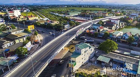 |
| Quan Banh railway and road overpass, Vinh city, Nghe An. Photo courtesy |
Widespread heavy rain in the North
Present (3/8)The low pressure trough has an axis of about 21-23 degrees North latitude, connecting with the low pressure area over the Northern region.
Forecast:Due to the influence of the low pressure trough connecting with the low pressure area in the Northern region that tends to develop strongly, from tonight (August 3), there will be rain, moderate rain in the Northern provinces; the mountainous and midland areas of the Northern region will have moderate to heavy rain, some places will have very heavy rain and scattered thunderstorms. During the thunderstorms, there is a possibility of tornadoes, whirlwinds and strong gusts of wind. The heavy rain in the Northern region is likely to last until the end of August 5.Disaster risk level due to heavy rain: level 1.
BesidesDue to the influence of the southern edge of the low pressure trough combined with the strong southwest monsoon, during today and tonight (August 3), in the South East Sea area (including the sea area of Truong Sa archipelago) and the sea area from Binh Thuan to Ca Mau, there will continue to be strong southwest winds at level 5, sometimes level 6, gusting to level 8, waves 2-3m high; rough seas.
In the Central and Southern East Sea (including the Truong Sa archipelago), the sea areas from Binh Thuan to Ca Mau, Ca Mau to Kien Giang and the Gulf of Thailand will have heavy thunderstorms. During the thunderstorms, there is a possibility of tornadoes and strong gusts of wind.Disaster risk level: level 1.
WARNING OF LANDSLIDES IN LAI CHAU, TUYEN QUANG AND BAC CAN
From 3:00 a.m. on August 3 to 6:00 a.m. on August 3, there was very heavy rain in Lai Chau, Tuyen Quang and Bac Can provinces, with rainfall measured at some stations as follows: Huoi Quang Hydropower Plant (Than Uyen District, Lai Chau Province): 32.8mm, Hong Thai (Na Hang District, Tuyen Quang Province): 22.2mm, Boc Bo (Pac Nam District, Bac Can Province): 27mm.
ReceivenhIn the next 3-6 hours, it is likely that Lai Chau and Bac Kan provinces will continue to have rain with an amount of about 30mm; in Tuyen Quang, it will continue to rain with an amount of 30-50mm.
Chiefnewspaper: In the next 3-6 hours, landslides are at risk of occurring in Lai Chau, Tuyen Quang, Bac Can areas, especially in districts such as: Than Uyen (Lai Chau); Na Hang (Tuyen Quang); Pac Nam, Ba Be (Bac Can). Disaster risk warning level: level 1.