Latest information on the tropical depression in the East Sea
(Baonghean.vn) - According to the National Center for Hydro-Meteorological Forecasting, from the night of July 12 to 13, the tropical convergence zone will continue to be active, the low pressure area is likely to strengthen into a tropical depression, moving towards the Gulf of Tonkin.
Currently (July 12),The tropical convergence zone connecting with the low pressure area at 01:00 is located at about 17.8-18.8 degrees North latitude; 109.0-110.0 degrees East longitude, right on the southern area of Hainan Island (China).
Forecast for the next 24 hours,The low pressure area has not shown any signs of strengthening and continues to move west.
Warning:Between tonight (July 12) and July 13, the tropical convergence zone will continue to be active, the low pressure area is likely to strengthen into a tropical depression, moving towards the Gulf of Tonkin.
Due to the influence of the tropical convergence zone connecting with the low pressure area combined with the strong southwest monsoon, during today and tonight (July 12), the sea area of the southern Gulf of Tonkin; the central and southern East Sea (including the sea area of Truong Sa archipelago), the sea area from Binh Thuan to Ca Mau, Ca Mau to Kien Giang and the Gulf of Thailand will continue to have heavy thunderstorms. During the thunderstorms, there is a possibility of tornadoes and strong gusts of wind.
The South China Sea area (including Truong Sa archipelago), the sea area from Binh Thuan to Ca Mau continues to have strong southwest winds of level 6-7, gusting to level 9, waves 2-4m high; rough seas.Disaster risk level: level 1.
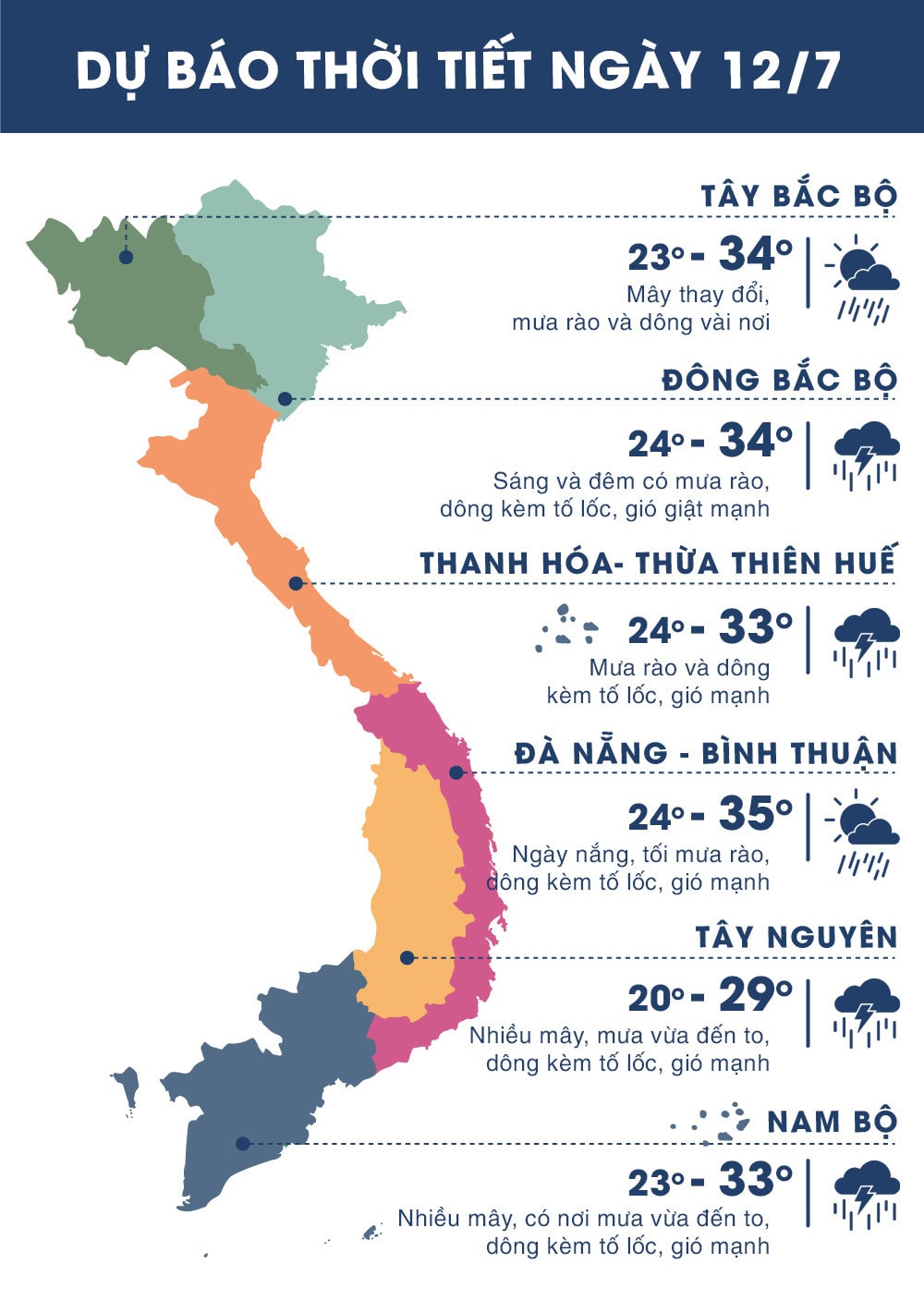 |
| Temperature on July 12, 2018 in regions across the country. Source news.zing.vn |
Widespread thunderstorms in the Central Highlands and the South
Due to the influence of the strong Southwest monsoon, there has been rain in the Central Highlands and the South, some places have had moderate rain, heavy rain and scattered thunderstorms. The amount of rain during the day and night yesterday (July 11) as of 1:00 a.m. in some places such as: Dak To (Kon Tum) 37mm, Dak Nong 28mm, Bao Loc (Lam Dong) 55mm, Cat Tien (Lam Dong) 44mm, Ta Lai (Dong Nai) 39mm, Dong Phu (Binh Phuoc) 46mm, Phuoc Long (Binh Phuoc) 56mm, Vi Thanh (Hau Giang) 46mm, Ca Mau 42mm,...
Currently,The southwest monsoon continues to operate with strong intensity.
Forecast:Due to the strong influence of the Southwest monsoon, from now until July 13, the Central Highlands and the South will continue to have rain, with some places experiencing moderate to heavy rain and strong thunderstorms. During thunderstorms, there is a possibility of tornadoes, whirlwinds and strong gusts of wind.Disaster risk level due to heavy rain: level 1.
