
Successful acquisition and processing of images captured from the VNREDSat-1 satellite.
This information was announced by the leaders of the National Remote Sensing Agency - Ministry of Natural Resources and Environment (MONRE) at the MONRE's regular press conference in February 2014.
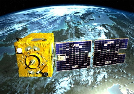 |
| Illustrative image. |
Accordingly, since its successful launch into orbit (May 2013), VNREDSat-1 (Vietnam's first remote sensing satellite) has captured 21,687 images, of which 5,588 are of Vietnamese territory. These remote sensing images have been used to support various tasks and projects within and outside the Ministry of Natural Resources and Environment, such as: the project "Monitoring marine and island natural resources and environment using remote sensing technology"; the project "Monitoring water resource changes and water exploitation activities beyond the upstream border of the Red River and Mekong River basins"; the project "Updating topographic maps using satellite images at scales of 1:25,000 and 1:50,000 in the Northern Delta, Central and Central Highlands regions"; and the project "Monitoring the implementation of land use planning and plans using remote sensing technology"...
Also at the press conference, the Ministry of Natural Resources and Environment announced that it will organize a national rally to commemorate World Water Day 2014 with the theme "Water and Energy" on March 20 and 21; and a national rally to commemorate World Meteorological Day 2014 with the theme "Weather, Climate: Young People Taking Action" on March 23.
According to Hanoi Moi


