
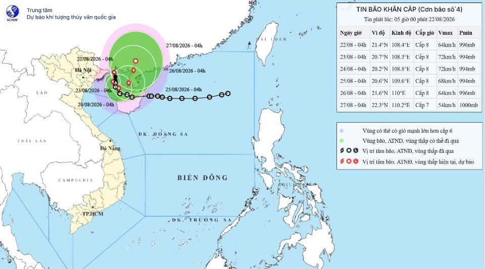
Latest storm update: Typhoon No. 4 is now over the sea area between Quang Ninh and Hai Phong.
At 4:00 AM on August 22nd, the typhoon's center was located at approximately 21.4 degrees North latitude and 108.4 degrees East longitude, over the sea off Quang Ninh-Hai Phong, about 150km north-northeast of Bach Long Vi special economic zone.
According to the National Center for Meteorological and Hydrological Forecasting, the strongest winds near the center of the storm are at level 8 (62-74 km/h), with gusts up to level 10. It is moving slowly northward at about 5 km/h.
Impacts on maritime activities: Affected area: Gulf of Tonkin (including the special zones of Bach Long Vi, Van Don, Co To, Cat Hai; Hon Dau Island).
Risk: Strong winds of force 6-7, force 8 near the storm center, gusts up to force 11; sea waves 2.0-4.0m high; rough seas.
Main impacts: Hazardous weather conditions can cause capsizing, sinking, or damage to fishing vessels, cargo ships, tourist boats, and other vessels operating at sea; aquaculture cages, mooring areas, and coastal structures are at risk of damage. Fisheries, transportation, and tourism activities at sea are likely to be disrupted.
Impact on coastal areas: Affected areas: Coastal areas of Quang Ninh province and Hai Phong city. Risk of strong winds of level 6-7, gusting to level 8-9.
Main impacts: Strong winds can rip off roofs, damage temporary structures, knock down trees and billboards; affect power, communication, and transportation systems.
Impacts from heavy rainfall: Affected areas: Northeast Vietnam, southern Phu Tho province and Thanh Hoa province.
Risk: From August 22nd to the night of August 24th, rainfall is expected to be 100-200mm, with some areas exceeding 400mm; specifically in Quang Ninh and Hai Phong City, rainfall is expected to be 250-350mm, with some areas exceeding 600mm; in Lang Son and Bac Ninh, rainfall is expected to be 200-300mm, with some areas exceeding 500mm. Rainfall is forecast to continue beyond the night of August 24th.
Main impacts: Heavy rainfall may cause flooding in urban areas, industrial zones, and low-lying areas; increasing the risk of flooding on small rivers and streams, flash floods, and landslides in mountainous areas.
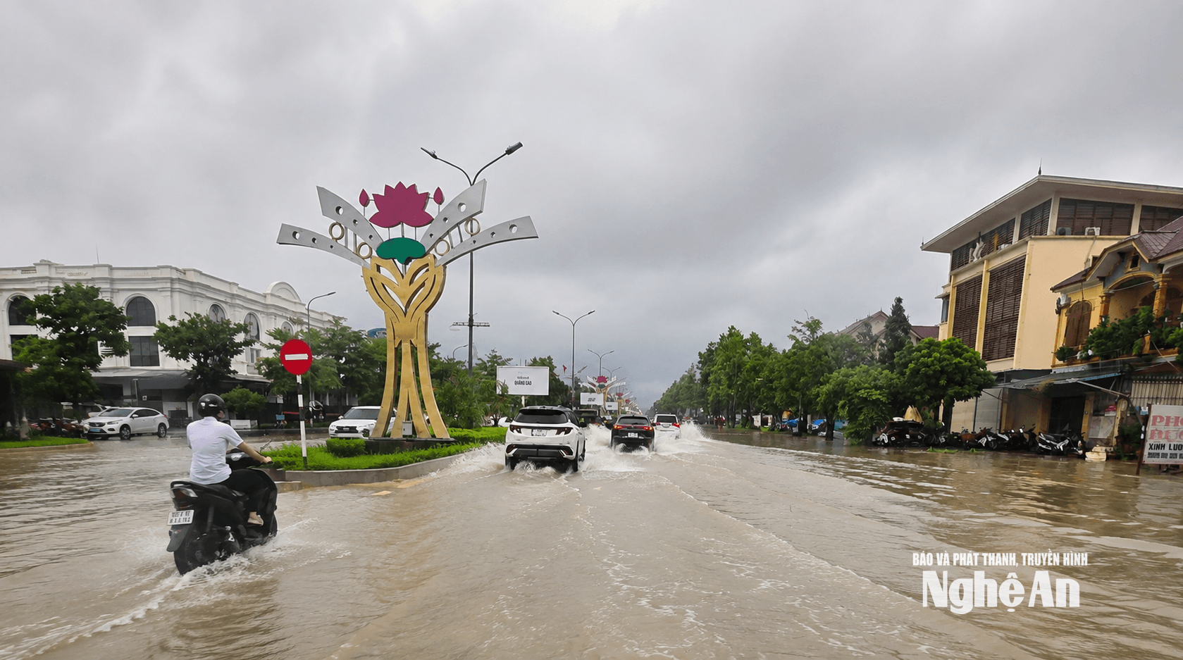
In Nghe An: Affected by a tropical convergence zone with its axis at approximately 19-21 degrees North latitude, connected to a tropical depression in the northern East Sea that is tending to strengthen into a storm, Nghe An province will experience cloudy to mostly cloudy skies, sunny days with scattered showers and thunderstorms, and locally moderate to heavy rain. North to Northwest winds at level 2-3. During thunderstorms, there is a possibility of tornadoes, lightning, hail, and strong gusts of wind.


