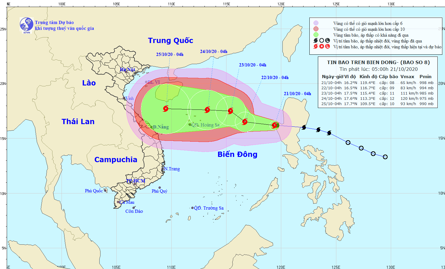
Storm No. 8 is moving west and continuously increasing in intensity.
At 4:00 a.m. on October 21, the eye of the storm was located at approximately 16.2 degrees North latitude; 119.4 degrees East longitude, approximately 770 km East Southeast of the Paracel Islands. The strongest wind near the eye of the storm was level 8 (60-75 km/h), gusting to level 10.
 |
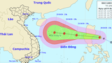
| Forecast path of storm No. 8. Photo: National Center for Hydro-Meteorological Forecasting |
Danger zonedue to storms in the East Sea in the next 24 hours (strong winds of level 6 or higher, gusts of level 8 or higher): from latitude 14.5 to 18.5 degrees North; from longitude 114.5 to 120.0 degrees East. All ships operating in the danger zone are at high risk of being affected by strong gusts of wind. Disaster risk level: Level 3.
Nghe An issues telegram to respond to new storm in East Sea
(Baonghean.vn) - On the afternoon of October 20, the Standing Office of the Steering Committee for Natural Disaster Prevention and Search and Rescue of Nghe An province issued a telegram on responding to storm Saudel.
In the next 24 to 48 hours, the storm will move northwest at 5-10 km per hour and is likely to strengthen. At 4:00 a.m. on October 23, the storm's center will be at about 17.5 degrees North latitude; 115.4 degrees East longitude, about 360 km East Northeast of the Paracel Islands. The strongest wind near the storm's center is level 10-11 (90-115 km/h), gusting to level 13.
In the next 48 to 72 hours, the storm will move westward at about 10 km per hour and is likely to strengthen. At 4:00 a.m. on October 24, the center of the storm will be at about 17.6 degrees North latitude; 113.3 degrees East longitude, 50 km from the archipelago.Paracel Islandsabout 120 km to the Northeast. The strongest wind near the storm center is level 11-12 (100-135 km/h), gusting to level 14.
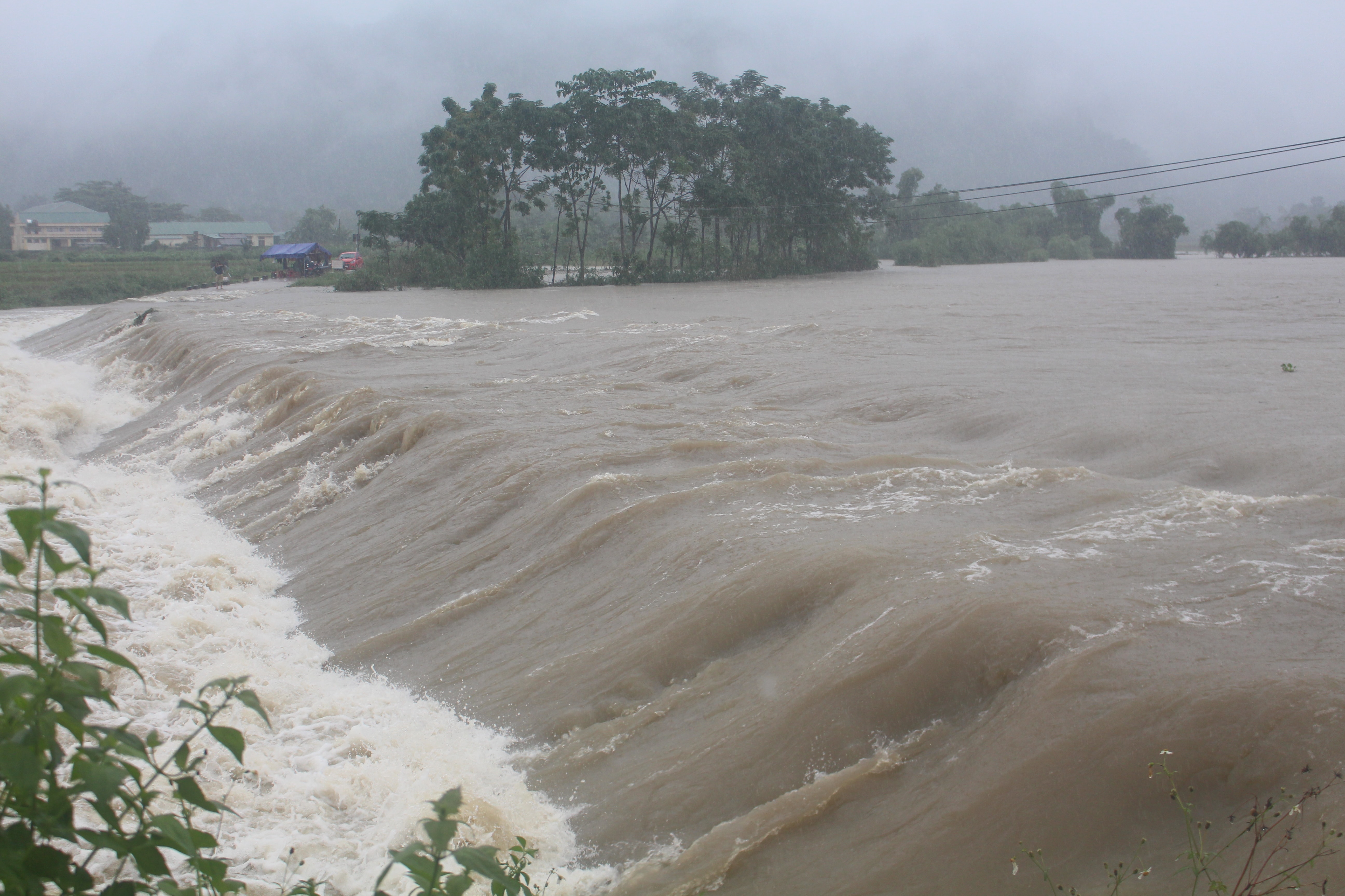 |
| Rising water at Khe Moi - Luc Da spillway (Con Cuong) on October 20. Photo: BH |
During the next 72 to 96 hours, the storm will continue to move westward at about 15 km per hour.
To respond to storm Saudel, yesterday afternoon, October 20, the Standing Office of the Steering Committee for Natural Disaster Prevention and Search and Rescue of Nghe An province hadelectricityon responding to this storm.

Ky Son urgently evacuated 281 households due to landslide
(Baonghean.vn) - Due to continuous heavy rain, landslides are occurring in the remote Ky Son district, threatening the lives of people. On the evening of October 20, the People's Committee of Ky Son district urgently evacuated 281 households in the communes of Muong Tip, Muong Ai, Bao Nam, and Chieu Luu.

