Law
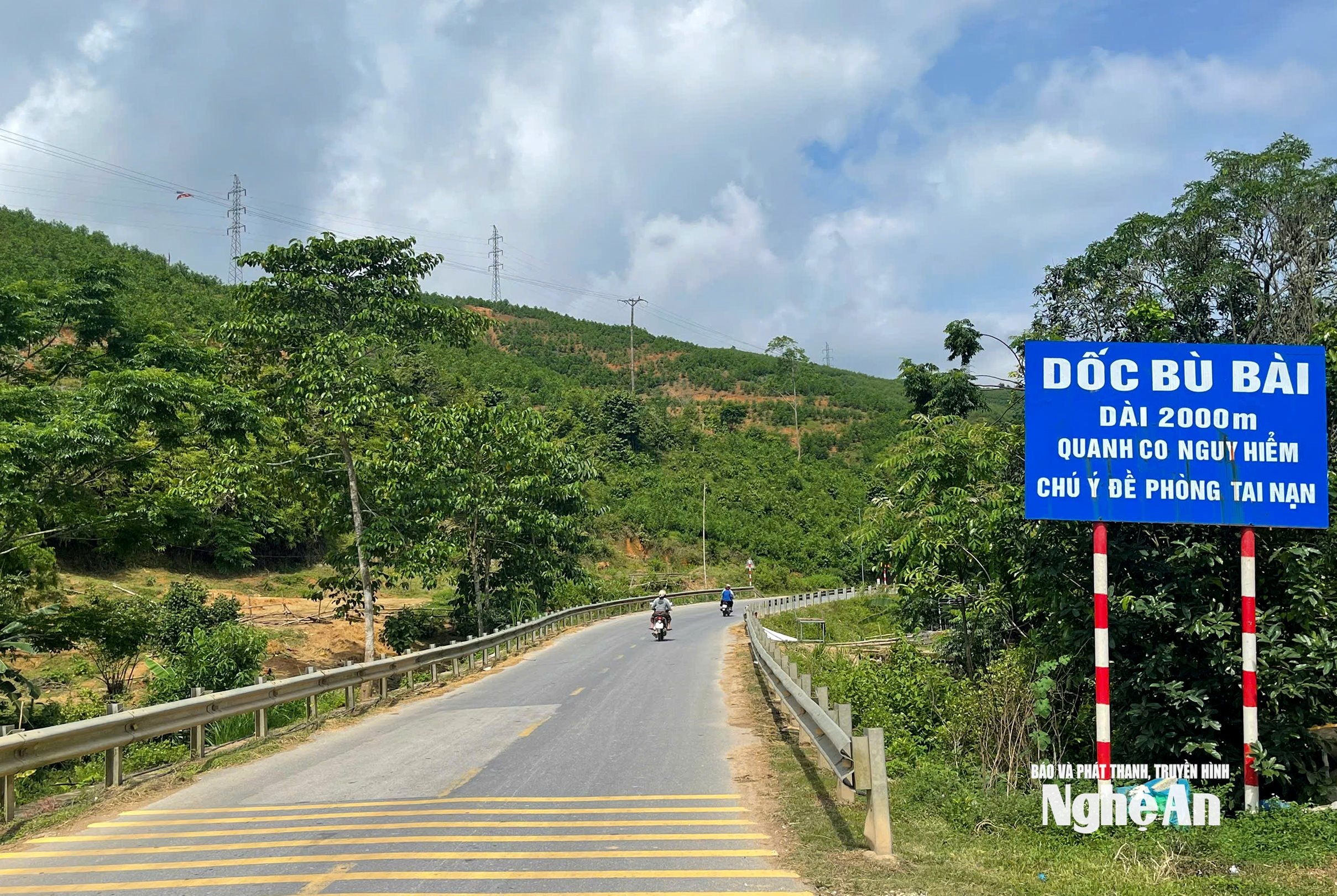
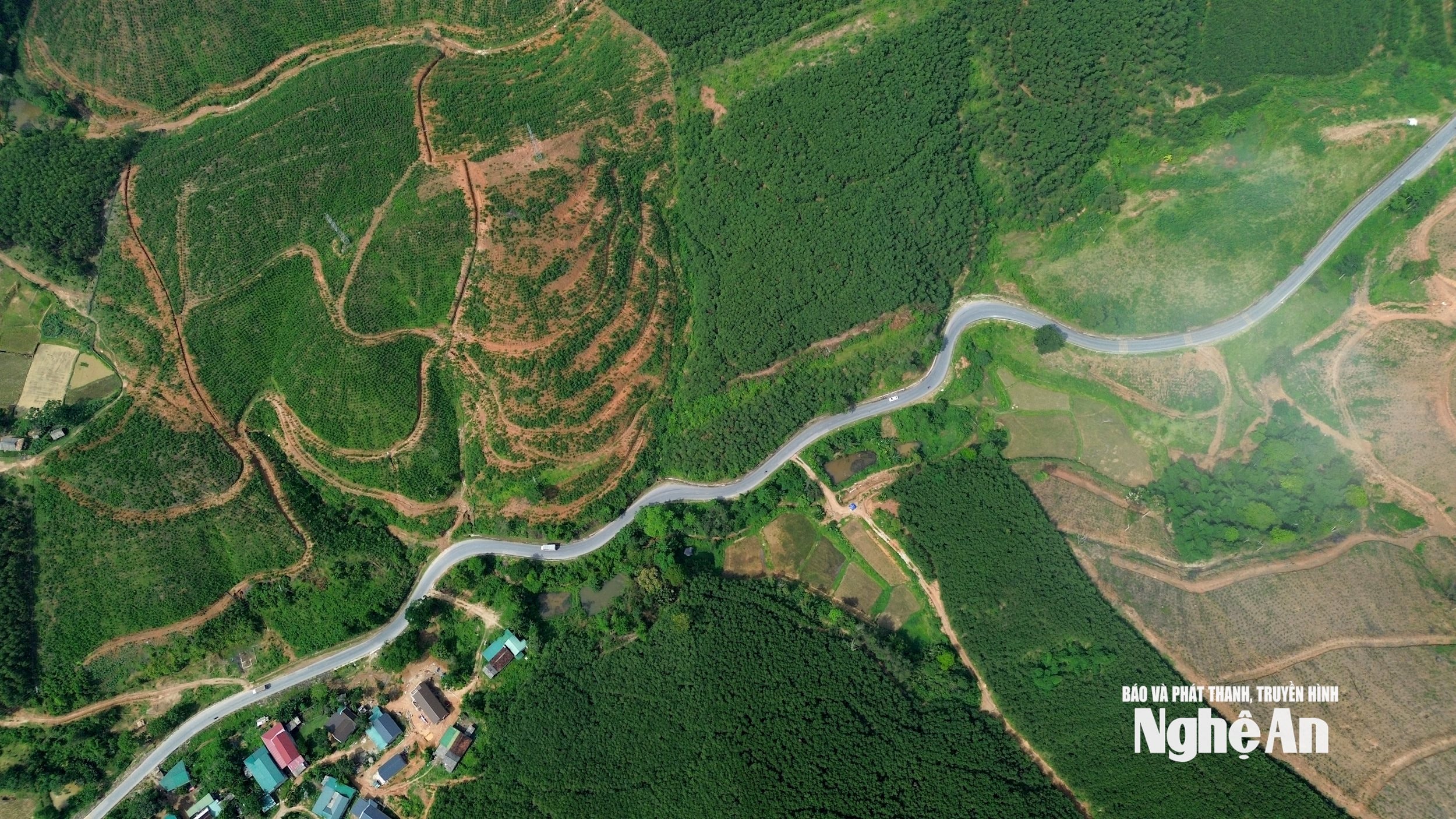
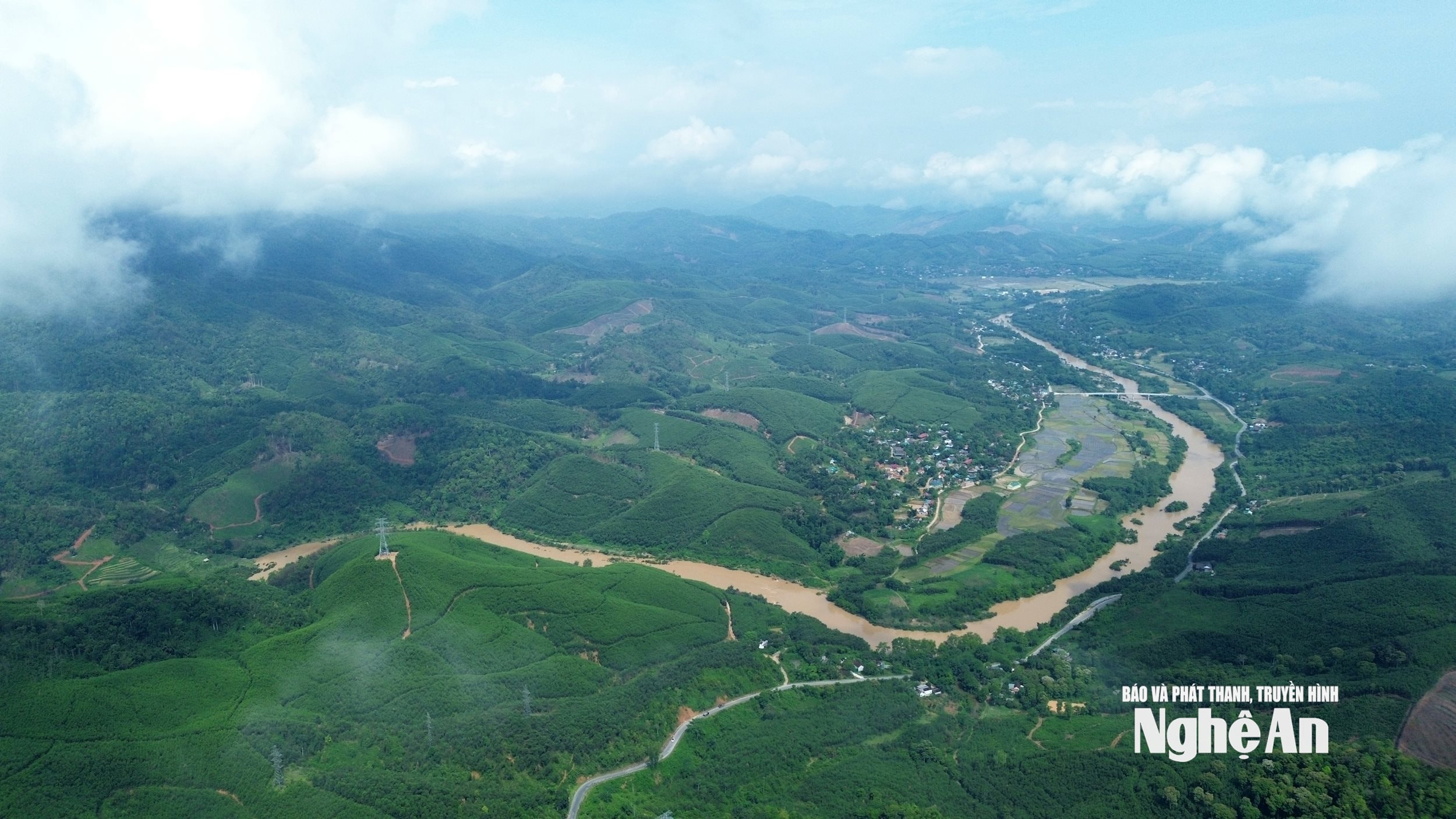
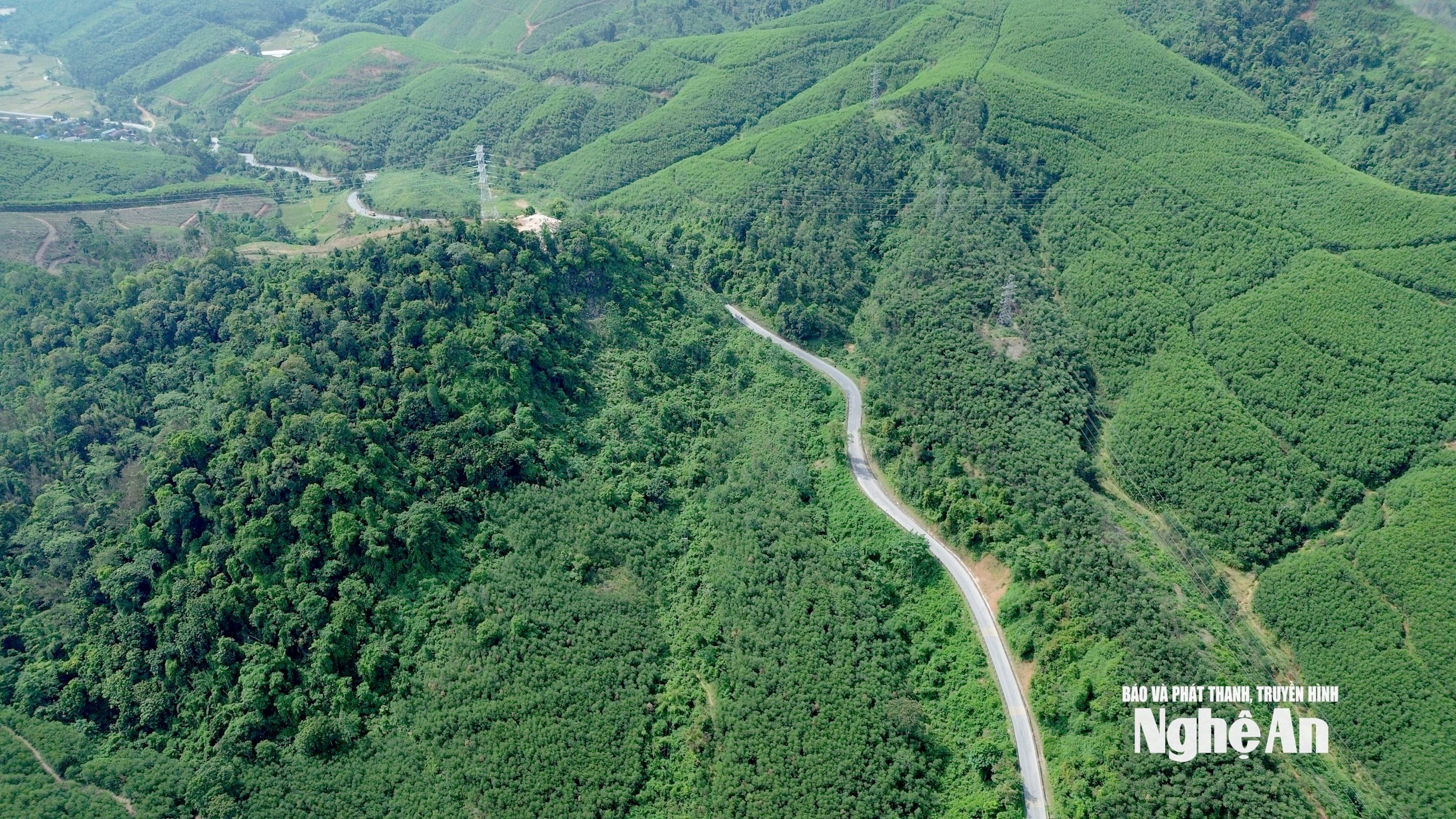
Although only 2km long, this winding and treacherous slope on National Highway 48 makes even sleeper buses give up.
Bu Bai Pass (also known as Pu Pai) is one of the longest slopes on National Highway 48, connecting National Highway 1A to the northwestern communes of Nghe An province. However, due to its length, narrowness, and treacherous terrain, traffic through this slope is difficult. This is also one of the reasons why authorities have not yet been able to grant permission for sleeper buses to travel to the northwestern communes of Nghe An.
.jpg)

