Hanoi: Look up flooded areas right on your phone to travel safely
Hanoi residents can easily monitor flooding spots directly on their phones thanks to digital map applications, helping them proactively choose safe routes.
The circulation of storm No. 10 caused continuous heavy rain on September 30, causing many streets in Hanoi to be submerged in water and causing traffic congestion. In the context of continued heavy rain, updating the situation of flooded areas on the phone has become a useful tool, helping people to be more proactive in choosing routes.
iHanoi App: Flood map right at your fingertips
iHanoi is a mobile application developed by the Hanoi government since 2024. Not only providing public services, traffic and health information, the application also integrates the "Flood Map" feature so that people can quickly grasp the actual situation.
Steps to follow:
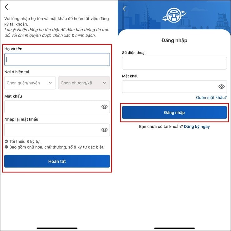
Open iHanoi app (login/register if you don't have an account yet).
Select Traffic → Flood Map.
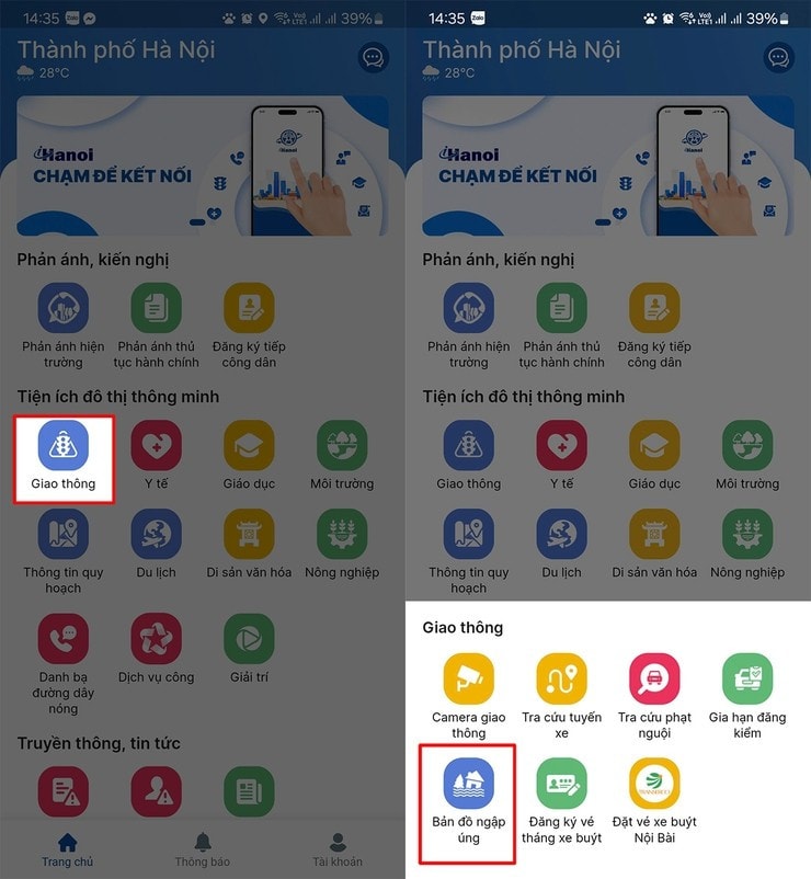
The map appears, which can be zoomed in/out to see specific routes.
HSDC Maps: Monitor flood spots with real-time images
In addition to iHanoi, people can also use HSDC Maps, an application developed by Hanoi Drainage Company. HSDC Maps continuously updates the situation of heavy rain and flooding, especially displaying visually with maps and real images.
After installing the application and granting location permission, users go to the Status section to see a list of flooded areas. The application not only shows the location but also includes measured rainfall and illustrative photos, helping people have a more direct and accurate view before moving.
Steps to follow:
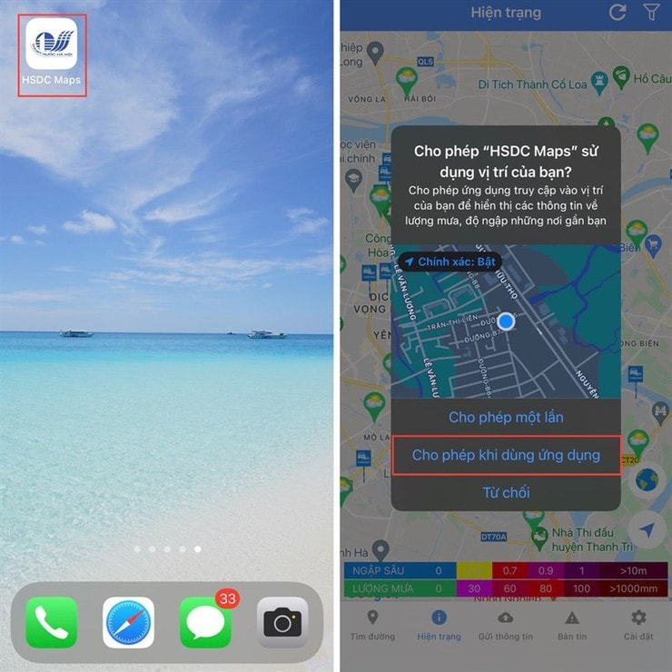
Download the HSDC Maps app from CH Play (Android) or App Store (iOS).
Open the app and grant location permissions.
Go to the Status tab to see real-time updated flood spots.
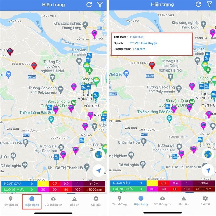
Click on each point to see rainfall and accompanying images.
In the context of complicated storms and floods, using technology to look up flooded areas will help people in the capital save time, reduce the risk of getting stuck on the road and ensure their own safety. The two applications iHanoi and HSDC Maps are becoming effective tools, especially during the days when Hanoi faces unusually heavy rainfall.


