Discover the beauty of Truong Sa - the sacred territory of the Fatherland
(Baonghean.vn) - Truong Sa archipelago belongs to Khanh Hoa province, including a series of more than 100 islands, shoals, and coral reefs. Despite the harsh weather, rain, and storms, this place is still extremely beautiful.
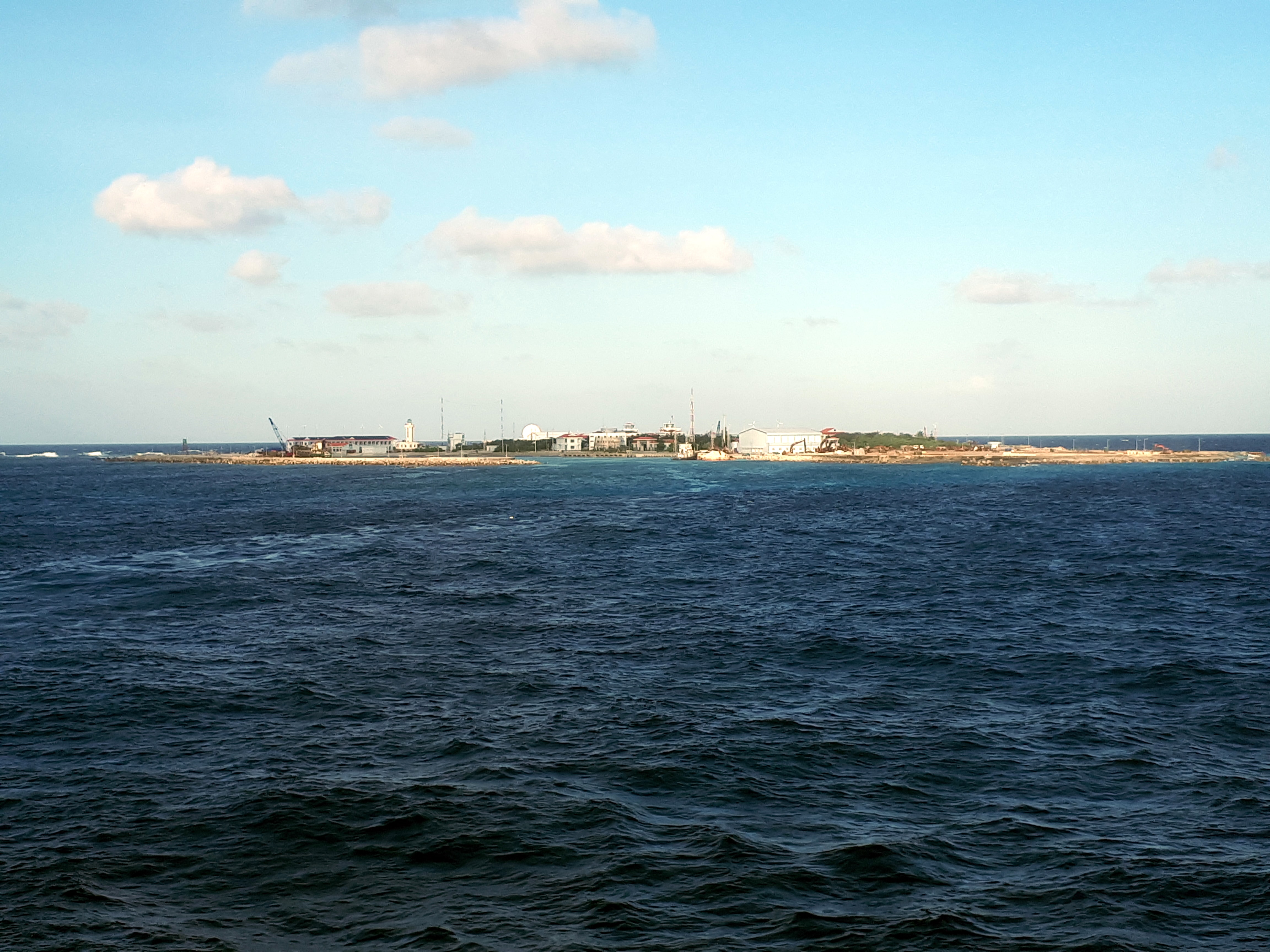 |
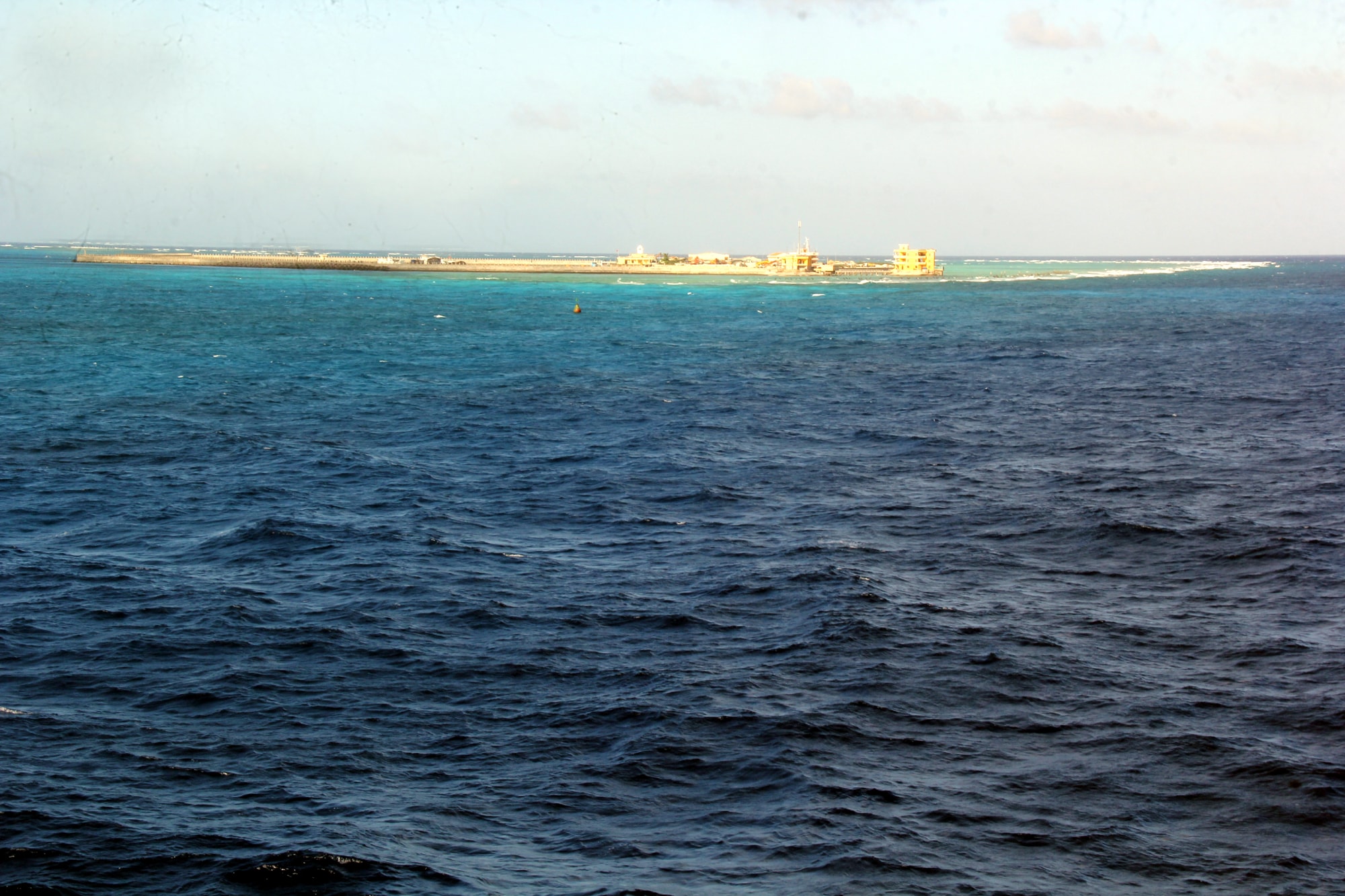
| Truong Sa archipelago belongs to Khanh Hoa province, including a series of more than 100 islands, shoals, and coral reefs. The archipelago is divided into 8 clusters: Song Tu, Loai Ta, Thi Tu, Nam Yet, Sinh Ton, Truong Sa, Tham Hiem and Binh Nguyen. Although the rain, sun, and storms are very harsh, this place is extremely beautiful, rich in marine economic potential, and is an indispensable sacred part of Vietnam. In the photo is Truong Sa Lon island seen from the sea - the place known as the "capital" of Truong Sa archipelago. |
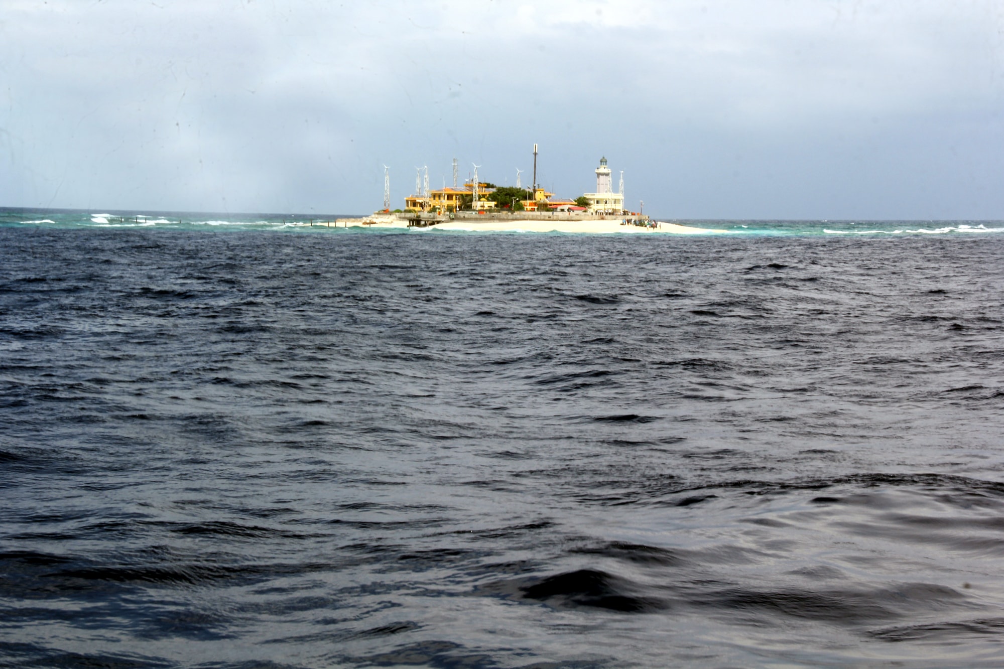 |
| An Bang Island seen from the ocean. An Bang is located in the south of the archipelago, the unique feature of this island is the white sand beach of hundreds of square meters moving around the island. This sand beach will rotate around the island once a year, soldiers on the island or fishermen fishing nearby can tell what time of year it is just by looking at the direction of the sand beach. That is why this island is also called Clock Island. |
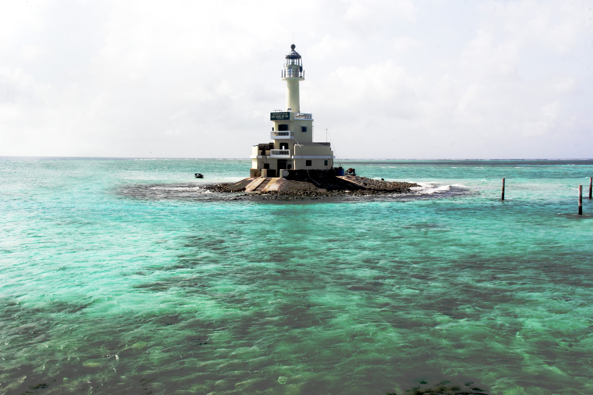 |
| The lighthouse on Da Tay B island. Truong Sa island district currently has 9 lighthouses. In addition to the task of ensuring maritime safety in the archipelago, Truong Sa lighthouses are also sovereignty markers of the Fatherland in the East Sea. This lighthouse has a dark gray body and was built on June 21, 1994. The height of the light tower is 20 m, the center of the light is 22 m. The flashing cycle is 10 seconds. |
 |
| Flooded coral reef at Thuyen Chai Island. |
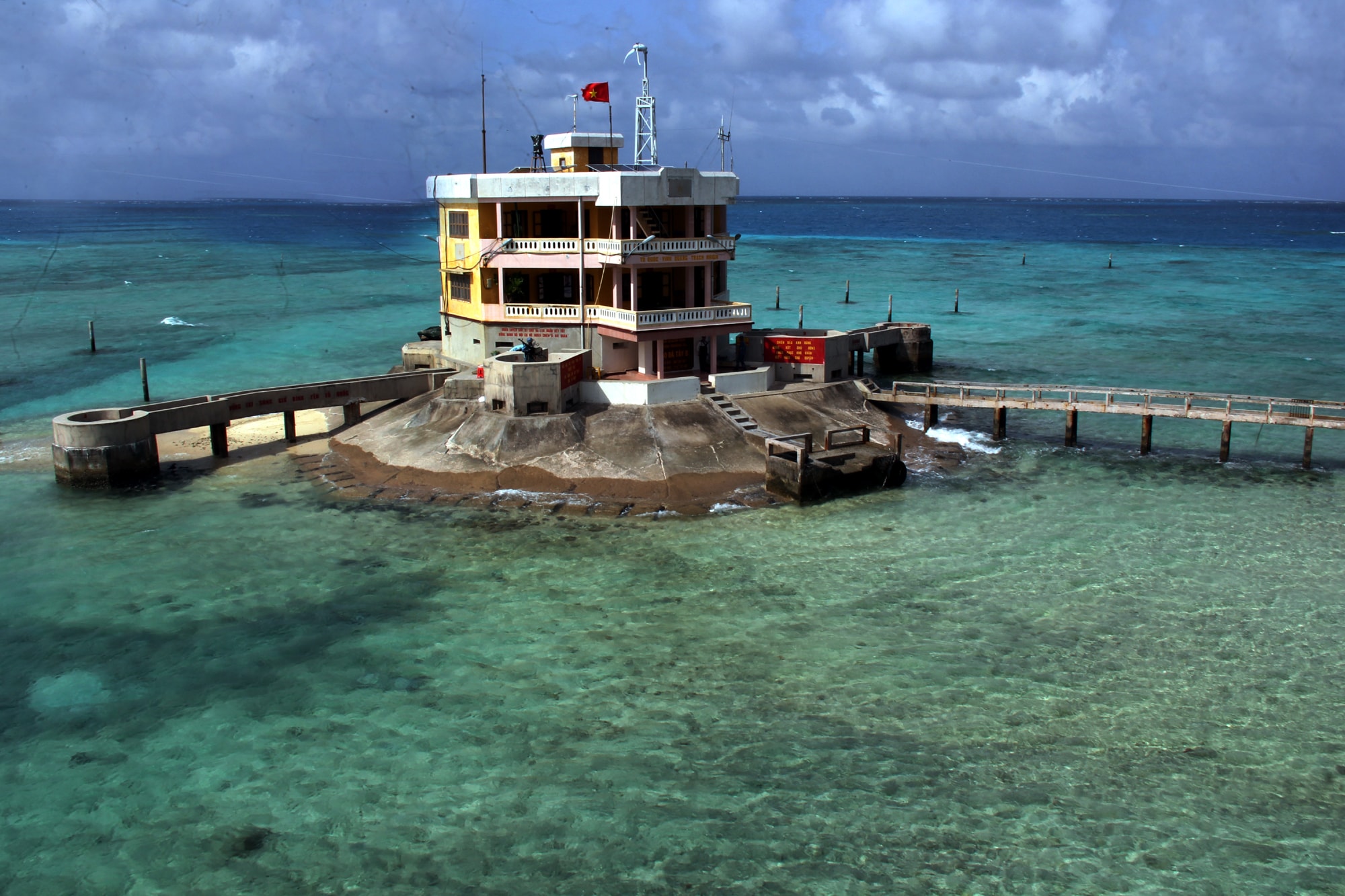 |
| Here, the sea level rises and falls, making the coral reefs appear sometimes in the morning, sometimes in the evening, sometimes shallow, sometimes vast. At low tide, the coral belt is completely exposed, and visitors can walk around the island. |
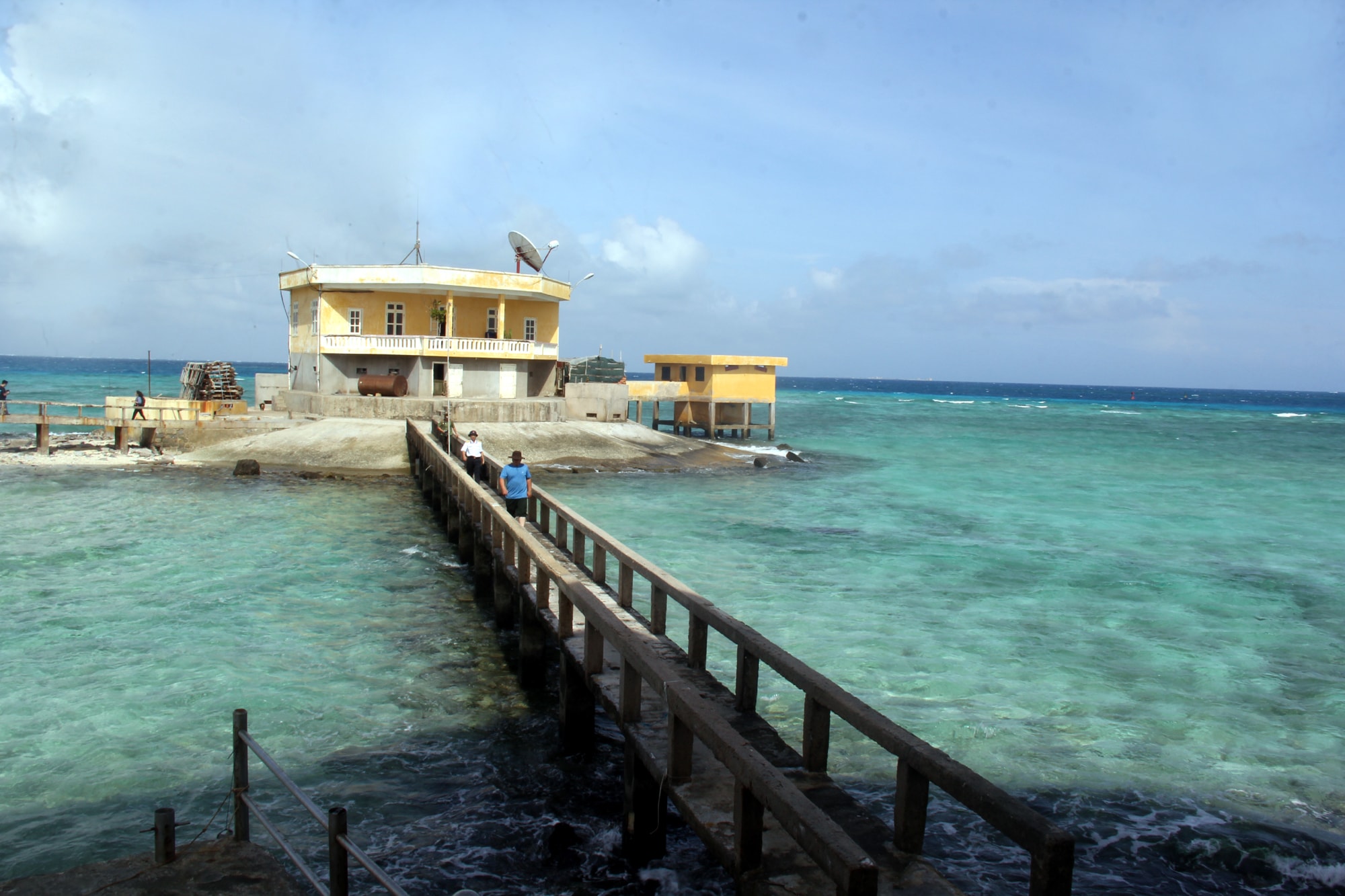 |
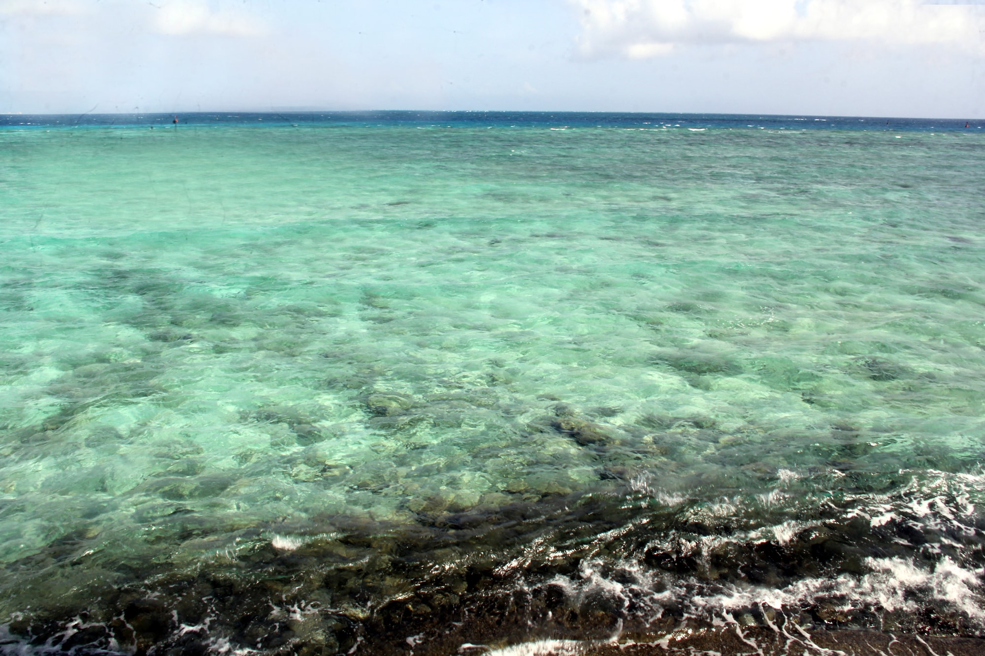
| Vast coral reefs surround the troop base. The water here is crystal clear, the bottom can be clearly seen. |
 |
| Da Tay A Island seen from afar. In addition to the army, this island now has a Fisheries Logistics Service Center, assigned by the Ministry of Agriculture and Rural Development to provide services for Vietnamese fishing boats. The center provides food, fuel, and fresh water to fishermen as well as repairs damaged boats, rescues and salvages at sea; coordinates with the navy to arrange fishing boats to Da Tay fishing port to take shelter and avoid storms safely; carries out the work of protecting aquatic resources and the marine ecological environment, contributing to building and protecting the sacred sovereignty of the sea and islands. |
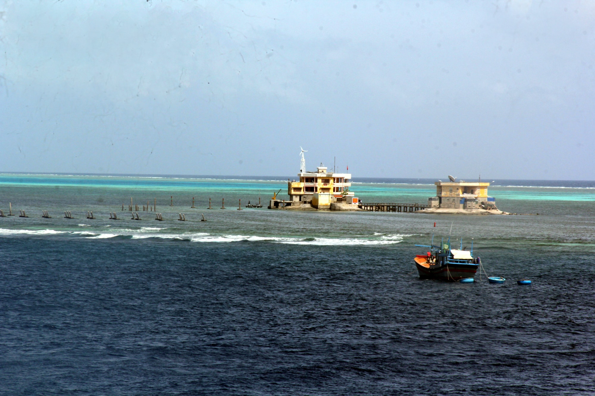 |
| Vietnamese fishing boats fishing near Thuyen Chai B Island. |
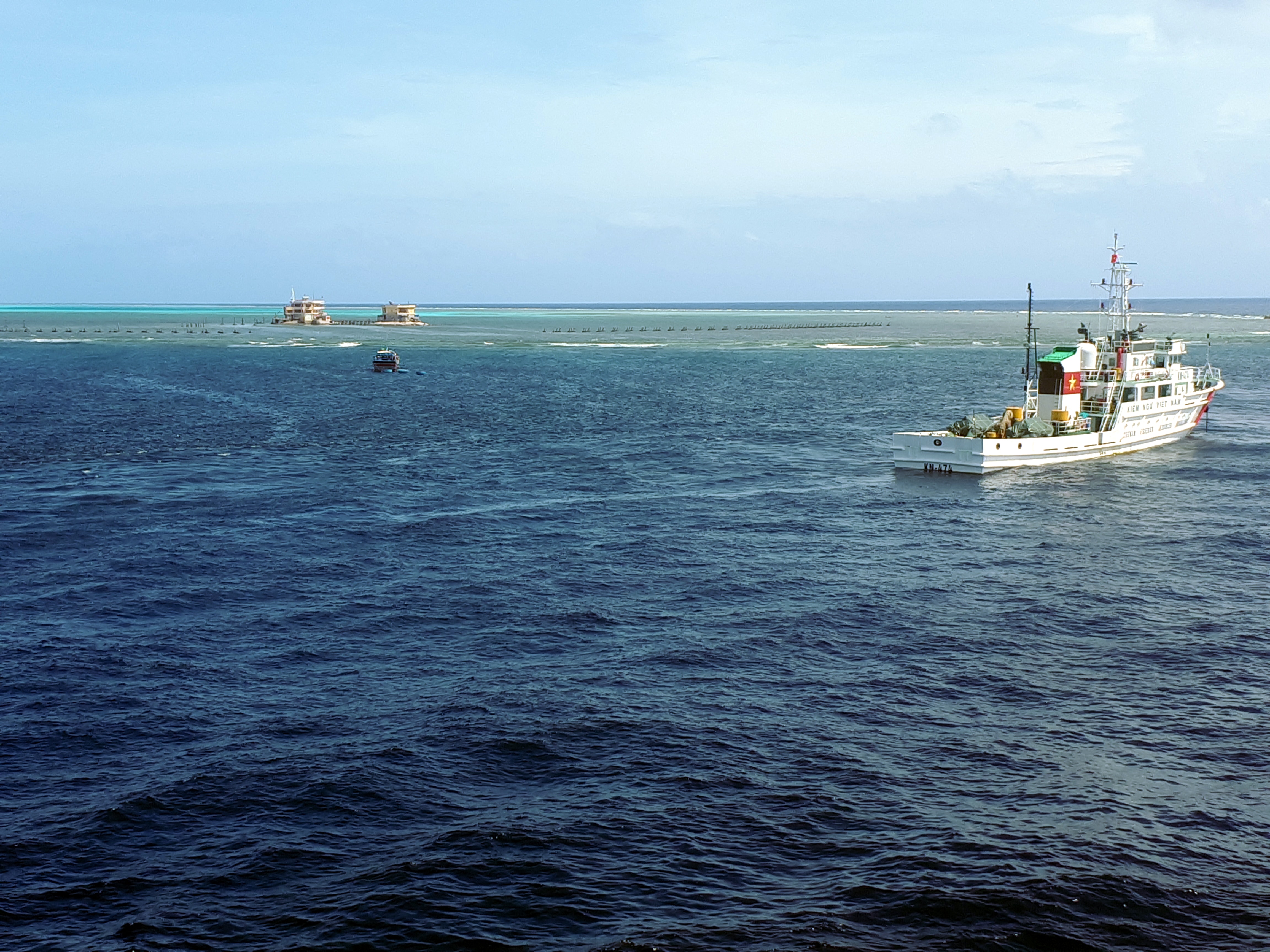 |
| Vietnamese fisheries surveillance ships on duty in the Spratly Islands. |
 |
| The crashing waves create layers of mist that envelop the Dong Truong Sa island nestled in the middle. |
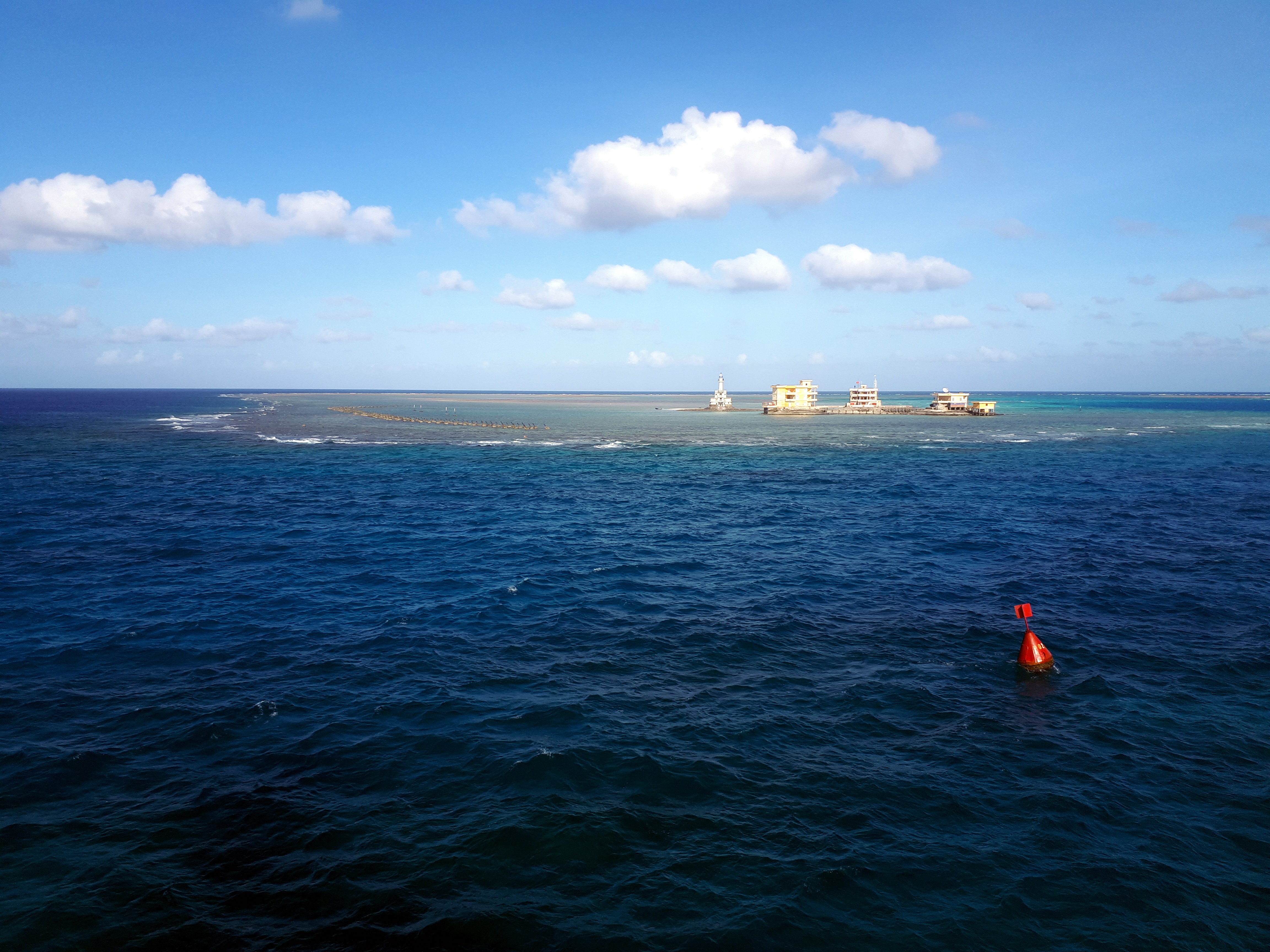 |
| Vast coral reefs gradually appear after the tide recedes on Da Tay B Island. |
 |
| Truong Sa archipelago is sacred land of the Fatherland, an indispensable part of Vietnam. |

.jpg "Chiếc túi “Độc lập” - Hành trình từ đất liền ra đảo xa")


.jpg "37 năm sự kiện Gạc Ma: 'Thấy bóng hình cha giữa biển trời Trường Sa'")