Northern region has prolonged thunderstorms, Central region has gradually cooled down
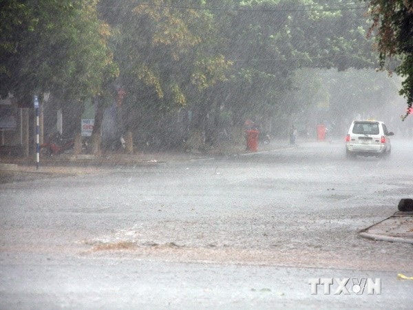 |
Photo is for illustration purposes only. (Photo: Tran Le Lam/VNA)
On August 13, due to the influence of a compressed low pressure trough combined with high-altitude wind convergence, the North will have moderate to heavy rain, with some places experiencing very heavy rain and thunderstorms.
Thunderstorms are likely to produce hail, tornadoes and strong winds. Mountainous areas are at risk of flash floods and landslides.
This heavy rain is forecast to last until August 14 with total rainfall ranging from 50-80mm, some places in the northern mountainous region and the Northeast will have very heavy rain of over 100-150mm. It is necessary to be on guard against flash floods and landslides in the northern and northeastern mountainous provinces.
Convective clouds are developing strongly and causing showers and thunderstorms in the Hanoi area. During the day and tonight, thunderstorms will continue to occur in the inner city of Hanoi and neighboring areas. During thunderstorms, be on guard against extreme weather phenomena such as tornadoes and strong gusts of wind.
Cool air also affects the Central region, so from today, August 13, the hot weather in the North Central provinces will end. From Thanh Hoa to Thua Thien-Hue, the North will be cloudy with scattered showers and thunderstorms; the South will have variable clouds, hot during the day, with showers and thunderstorms in some places in the evening and at night. Southwest wind level 2-3. During thunderstorms, there is a possibility of hail, tornadoes and strong gusts of wind.
The coastal provinces of Central and South Central Vietnam continue to experience widespread heat, however, temperatures have slightly decreased compared to yesterday with the highest temperature during the day commonly ranging from 35-37 degrees Celsius, with some places above 38 degrees Celsius.
The Central Highlands and the South have variable clouds, sunny days, scattered showers and thunderstorms in the late afternoon and evening, and no rain at night. Southwest wind level 2-3. The highest temperature in the Central Highlands is 33 degrees Celsius and in the South it is 2 degrees Celsius higher.
At sea, the low pressure trough along with the southwest wind field is causing bad weather in some areas. The North East Sea and Hoang Sa archipelago have scattered showers and thunderstorms in some places. Visibility is over 10km, decreasing to 4-10km in the rain. Southwest wind level 4-5.
The Gulf of Tonkin has scattered showers and thunderstorms. Visibility is 4-10km. North to Northeast winds, South Southwest winds level 4-5. Beware of tornadoes and strong gusts of wind during thunderstorms./.
According to VNA


