Panoramic view of King Quang Trung temple - Dung Quyet mountain from flycam
(Baonghean.vn) - 230 years ago, King Quang Trung (Nguyen Hue, 1752-1792) considered Dung Quyet mountain as the key position on the trans-Vietnam road, the starting point in the process of building Phuong Hoang Trung Do. Let's look at the pictures taken from above to see a heroic and poetic Dung Quyet.
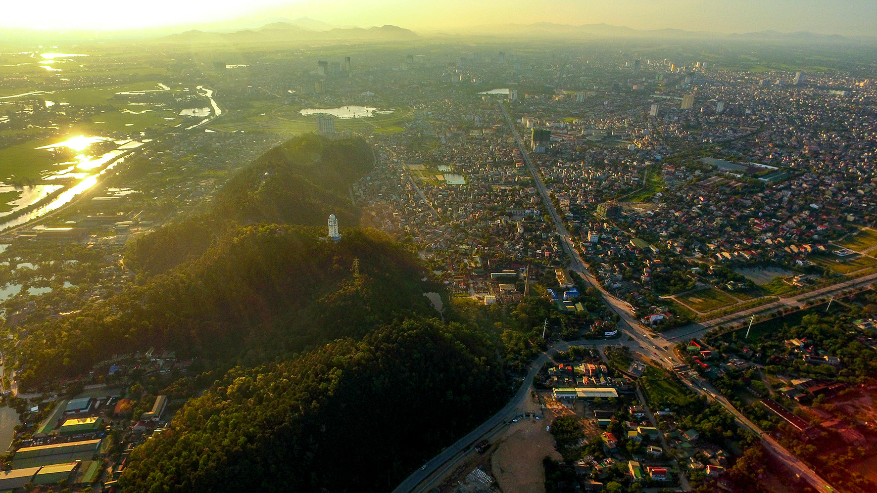 |
| With its prime location, this place has long been an important military base of the country. In the photo: The entire panorama of Phoenix Central Capital seen from Ben Thuy Bridge. Photo: Sach Nguyen |
 |
| Dung Quyet Mountain now looks spectacular like a coiled dragon about to fly up. Photo: Sach Nguyen |
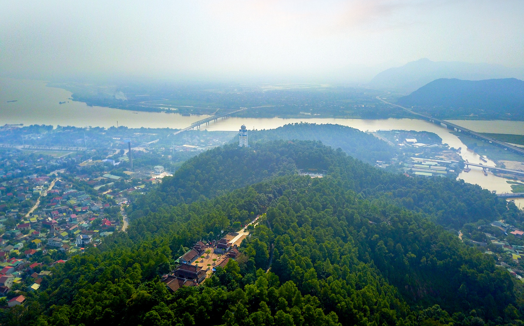 |
Standing on the top of Dung Quyet looking to the South, Lam River is like a silk strip embracing the foot of the mountain. Photo: Sach Nguyen |
 |
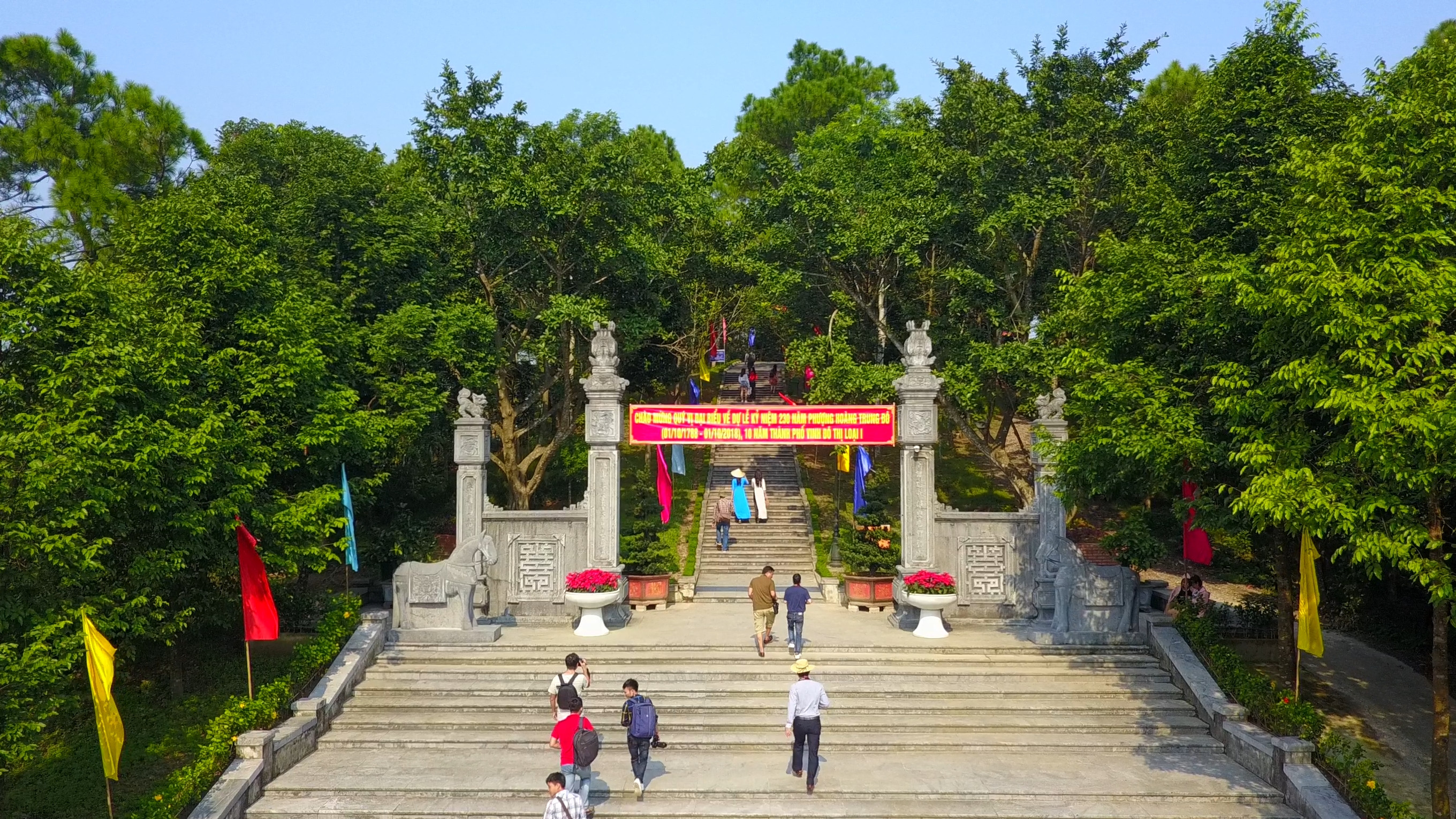
| To commemorate the great contributions of the cloth hero Nguyen Hue - Quang Trung, the Government allowed Nghe An province and Vinh city to build a temple to King Quang Trung on Dung Quyet mountain. - Photo: Nguyen Book |
 |
| This place has become a cultural and spiritual tourism area, contributing to educating the tradition of building and defending the country of our people for today's and future generations. - Photo: Sach Nguyen |
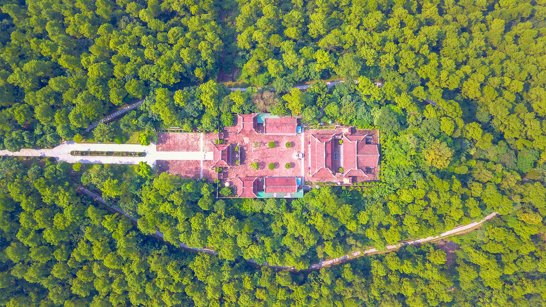 |
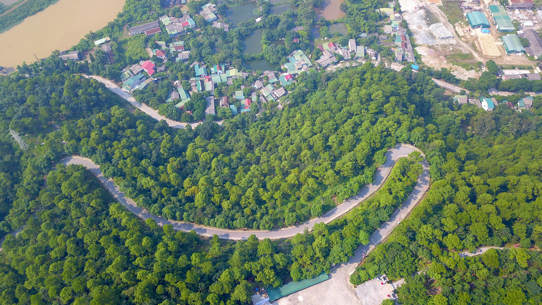
| Located on the highest mountain with an altitude of 95m above sea level, in the middle is the historical relic complex of King Quang Trung Temple, surrounded by a tourist road to enjoy the beautiful scenery around the temple. - Photo: Sach Nguyen |
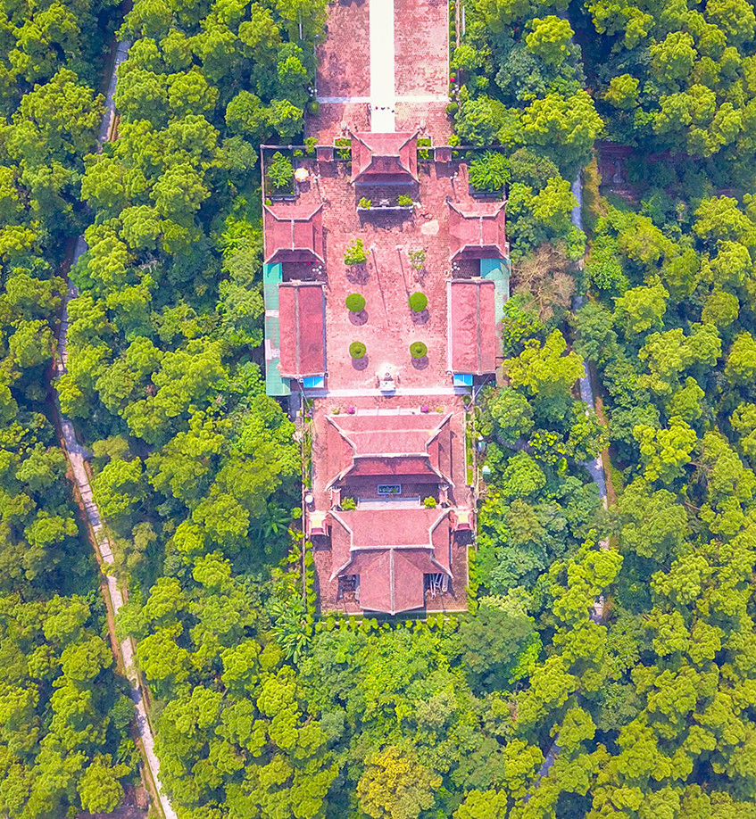 |
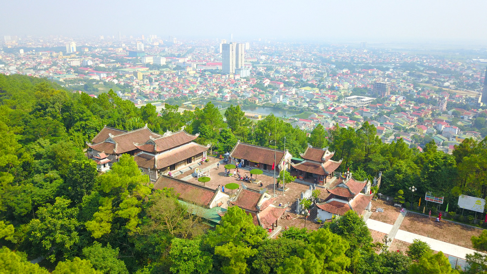
| From above, at first glance the temple complex resembles a portrait with the face of a warrior. Photo: Sach Nguyen |
 |
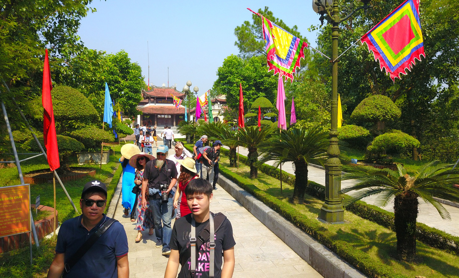
| Today, Dung Quyet Mountain and Quang Trung Temple have become attractive destinations for young people, locals and tourists. Photo: Nguyen Sach |
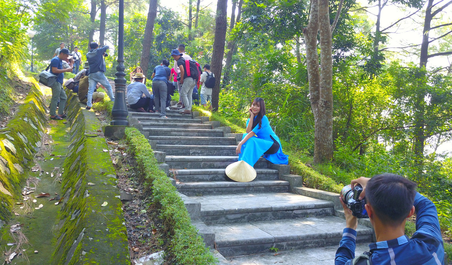 |
| Many group activities and sightseeing tours have taken place here. In the photo is a creative session of the Nghe An Photo Club. Photo: Nguyen Book |

.jpg "Hơn 340 kỳ thủ tham dự Giải cờ vua 'Phượng Hoàng Trung Đô' lần thứ 2")


