From the air, Saigon appears modern and romantic, surrounded by lush greenery, a winding river, and a densely packed urban landscape resembling a chessboard.
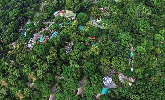 |
| On June 16th, the Understanding the Heart Foundation, in collaboration with photographer Gian Thanh Son, organized an exhibition of 40 works on the theme "Saigon Aerial Photography". The program aims to raise funds to support underprivileged students in remote areas and will run until June 21st at 143 Nam Ky Khoi Nghia Street. Pictured: the work "Botanical Garden" (2010). |
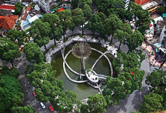 |
| The work "Turtle Lake - International Construction Site" (2010). |
 |
| "Roads - Saigon River Tunnel" (2011). |
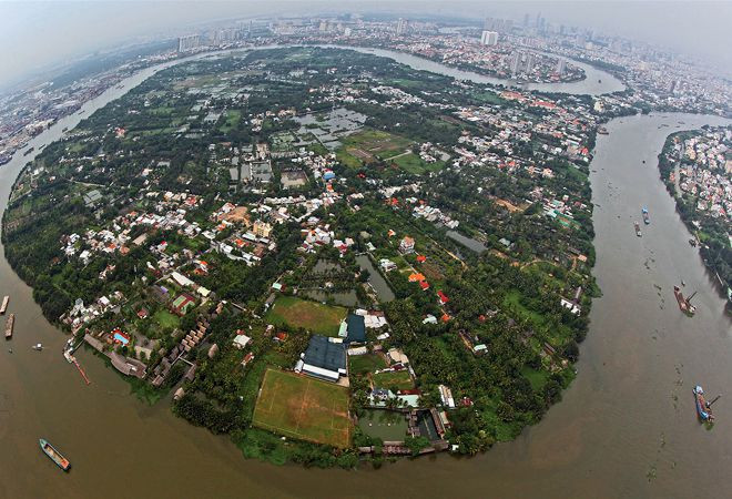 |
| "Thanh Da Peninsula" (2009). |
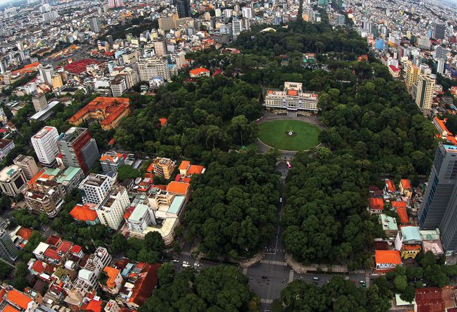 |
| The work "Independence Palace" (2010). |
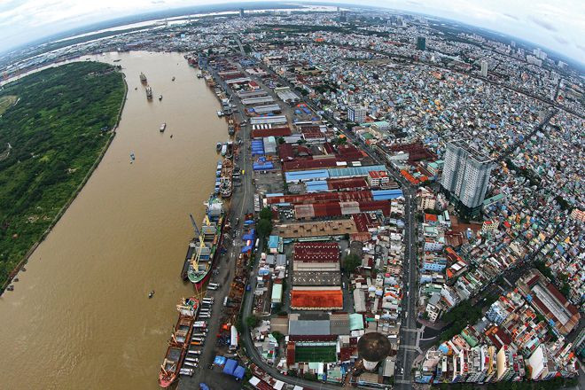 |
| "District 4 and Saigon Port" (2009). |
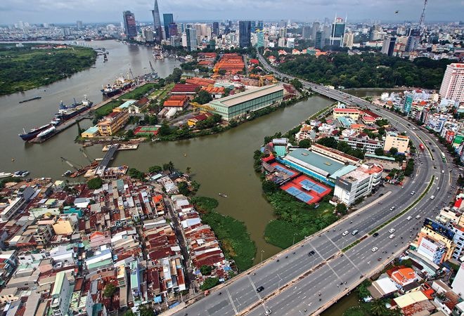 |
| "Nguyen Huu Canh Street and Ba Son Shipyard" (2010). |
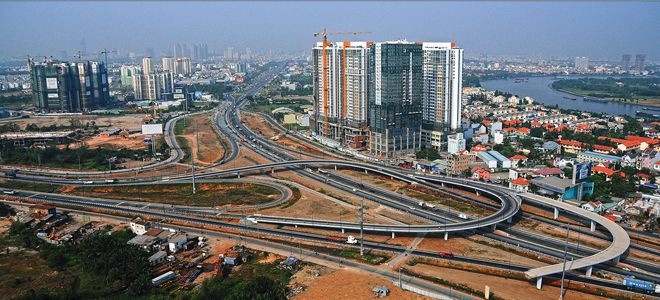 |
| "The District Two bypass" (2010). |
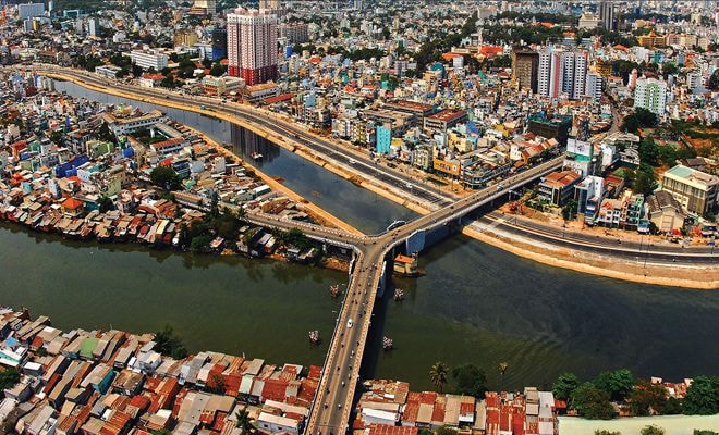 |
| The artwork "Y-shaped Bridge" (2009). |
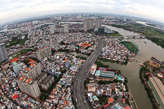 |
| "Nguyen Huu Canh Street and Saigon Bridge" (2010). |
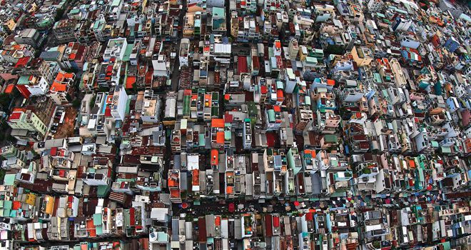 |
| The work "Tan Binh District" (2010). |
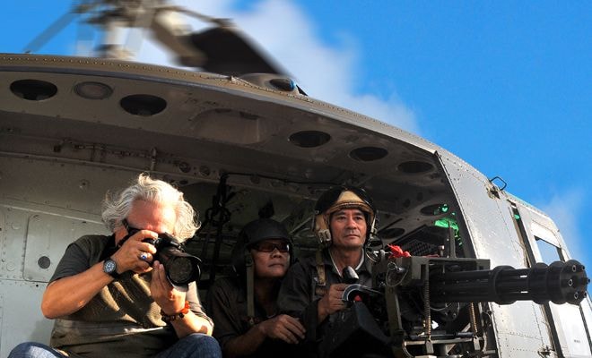 |
| Gian Thanh Son has 40 years of experience in journalism and nearly 20 years pursuing photography. He captured aerial photographs with the special support of the 370th Air Force Division and the 917th Helicopter Regiment. The 40 works in this exhibition are selected from his ongoing photography project titled "Vietnam Seen from the Air". |
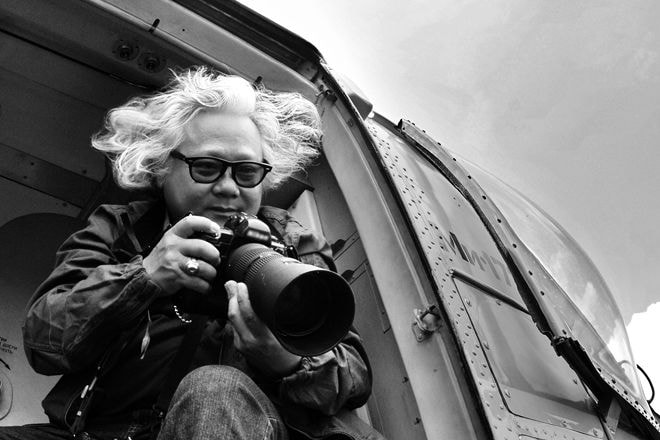 |
| "In the same place, but each time I fly, each time I press the shutter, I feel a different emotion. My Saigon, your Saigon, our Saigon, full of love and affection, full of positive changes...", Gian Thanh Son shared. This photographer has set three national records with his unique photo collections. He has worked in over 85 countries and organized many exhibitions with his own distinctive style, such as: "Portraits of Politicians," "Climate Change in Vietnam and the World Seen from the Air," "The Mark of Integration," "Aerial Photographs of Vietnamese Islands and Coastlines," etc. |
According to VnExpress/Photo: Gian Thanh Son



