Weather June 25: Northern region warned of heavy rain and flash floods; Central region has showers and thunderstorms
(Baonghean.vn) - Due to the influence of the low pressure trough with the Northwest-Southeast axis combined with the low vortex analyzed above, from today (June 25) to the morning of June 27, there will be rain and a decrease in temperature in the North and Central regions.
 |
| Illustration photo. |
It is forecasted that from now until the end of tomorrow, widespread thunderstorms will continue to occur in the northern mountainous provinces, especially Hoa Binh, Son La, Dien Bien, Lai Chau, Ha Giang, Cao Bang. Many places will have heavy to very heavy rain. The rain will help the temperature in the North decrease by about 2 degrees compared to yesterday.
In the North and Central Central regions, it is cloudy with showers and thunderstorms in some places. Southwest wind level 2-3. The highest temperature is from 31-34 degrees, in the South, some places are over 34 degrees.oC. While the South Central region has changing clouds, sunny days, hot in some places, showers and thunderstorms in some places in the evening and at night. The highest temperature is from: 32-35 degrees, some places above 35.oC
The Central Highlands and the South have quite pleasant daytime temperatures, the highest in the Central Highlands is not over 33 degrees, the South is not over 34 degrees. In the evening and at night, both regions have scattered showers and thunderstorms.
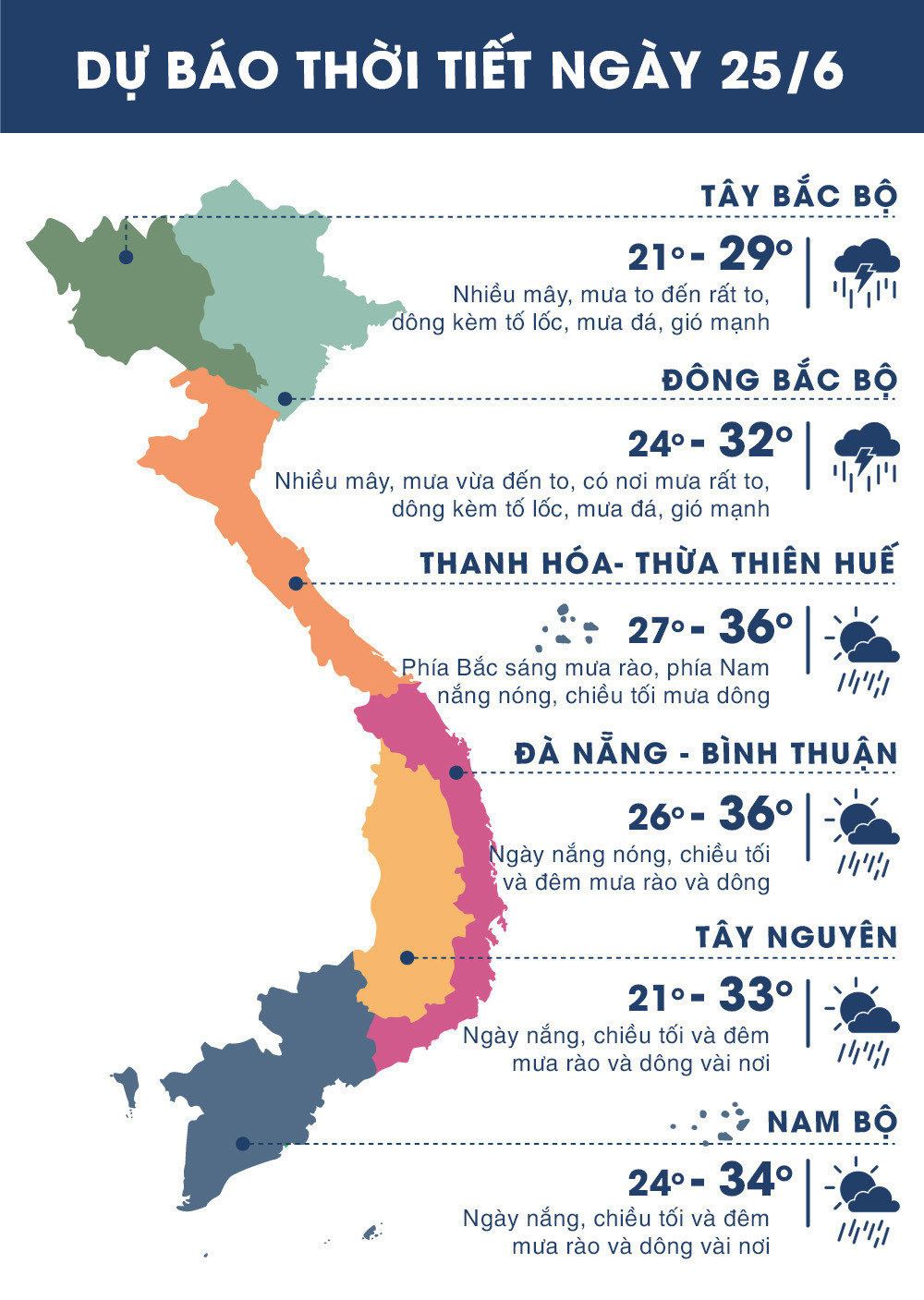 |
| Temperature on June 25, 2018 in regions across the country. Source: zing.vn |
WARNING OF WIDESPREAD HEAVY RAIN IN THE NORTH
Due to the influence of the low pressure trough with the Northwest-Southeast axis through the North combined with the low vortex developing up to an altitude of 5000m in the mountainous area of Northern Vietnam, last night (June 24) and early this morning (June 25) in the Northwestern and Viet Bac provinces, there continued to be moderate to heavy rain, some places had very heavy rain such as Muong Te (Lai Chau) 117mm, Muong Lay (Lai Chau) 87mm, Sin Ho (Lai Chau) 77mm,...
Currently (June 25):The low pressure trough with Northwest-Southeast axis passes through the Northern region. Over the mountainous region of the North, a low vortex continues to exist and develop up to an altitude of 5,000m.
Forecast:Due to the influence of the low pressure trough with the Northwest-Southeast axis combined with the low vortex analyzed above, from today (June 25) to the morning of June 27 in the North, there will be widespread showers and thunderstorms, mountainous and midland areas will have heavy rain, some places will have very heavy rain and strong thunderstorms (heavy rain will be concentrated at night and morning). During the thunderstorms, there is a possibility of tornadoes, hail and strong gusts of wind.Disaster risk level: level 1.
FLASH FLOOD AND LANDSLIDE WARNING
Currently:Combining satellite imagery, thunderstorm location data and weather radar shows that convective clouds are forming and developing strongly in the areas of Lai Chau, Dien Bien, Ha Giang, Cao Bang and Bac Can provinces.
It is forecasted that in the next 3-6 hours, the above provinces and neighboring areas will have moderate to heavy rain, with rainfall ranging from 30-60mm.
Warning:In the next 3-6 hours, landslides and flash floods are at risk of occurring in the districts.Muong Te, Sin Ho (Lai Chau); Muong Nhe, Muong Cha, Muong Lay Town, Dien Bien (Dien Bien);Yen Minh, Quan Ba, Bac Me, Hoang Su Phi, Xin Man (Ha Giang); Ha Quang, Thong Nong, Hoa An (Cao Bang); Ngan Son, Na Ri, Bach Thong (Bac Kan).Disaster risk warning level: Level 1.


