Prime Minister requests land inventory nationwide
In order to enhance the role of land management, on August 1, the Prime Minister issued Directive No. 21/CT-TTg requesting the Ministry of Natural Resources and Environment to coordinate with government agencies and People's Committees of provinces and centrally run cities to organize land inventory and map the current land use status in 2014 nationwide.
In order to enhance the role of land management, on August 1, the Prime Minister issued Directive No. 21/CT-TTg requesting the Ministry of Natural Resources and Environment to coordinate with government agencies and People's Committees of provinces and centrally run cities to organize land inventory and map the current land use status in 2014 nationwide.
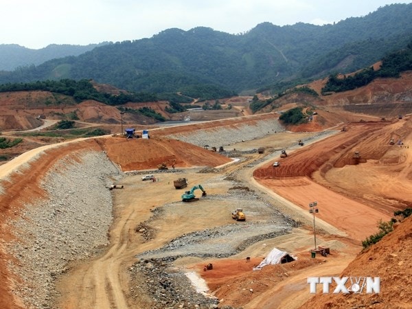 |
| Mapping the current land use status in 2014 nationwide. (Photo: VNA) |
The Directive clearly states that the land inventory and mapping of current land use status in 2014 must accurately assess the current land use status of each administrative unit at commune, district, province, economic regions and the whole country.
Land inventory and mapping of current land use status will serve as a basis for assessing the land management situation in the past 5 years and proposing mechanisms, policies and measures to strengthen state management of land, improve land use efficiency at all levels, especially the establishment, adjustment, management and implementation of land use planning and plans in the period 2016-2020.
On that basis, the Prime Minister requested that the land inventory must fully determine data on natural land areas of administrative levels; areas of land types, types of subjects being managed and used by the time of inventory up to December 31, 2014.
Subjects of land inventory include land users such as organizations, households, individuals, residential communities, religious establishments, foreign organizations with diplomatic functions, foreign-invested enterprises, and overseas Vietnamese who are using land according to the provisions of Article 5 of the 2013 Land Law.
In addition, the Prime Minister also requested that the mapping of current land use in 2014 in localities must reflect the distribution of land types inventoried by each administrative unit at commune, district, province, socio-economic regions and the whole country.
Based on the survey and inventory data, it is necessary to analyze and evaluate the current status, structure of land use, and land fluctuations in the past 5 years; thereby assessing the land management situation of each locality, especially the management and implementation of land use planning.
Regarding implementation solutions, the Prime Minister requested that land inventory and mapping of current land use status in 2014 must be carried out on the basis of using cadastral maps and plot maps to investigate and inventory land types and land use objects in the field.
For localities that do not have centralized cadastral maps (many communes) and plot maps, use remote sensing images to edit into inventory maps; for localities that do not have the above two types of documents, use previously established land use status maps in combination with other existing local maps to delineate, edit and edit into maps used for field inventory to serve land inventory and create land use status maps.
The Prime Minister also requested localities to apply information technology to digitize survey results, delineate land types, types of land management and use objects, and synthesize land inventory data, and establish maps of current land use at all levels.
Accordingly, the time for land inventory and mapping of current land use status in 2014 will be implemented uniformly nationwide by December 31, 2014./.
According to VNA


