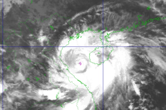
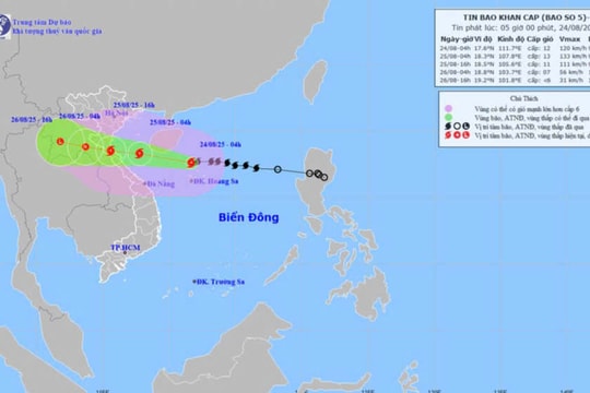
Latest news on level 17 storm Koppu entering the East Sea
Typhoon Koppu is a very strong storm currently moving east off the Philippines.
According to the latest storm information from the National Center for Hydro-Meteorological Forecasting, at 1:00 p.m. on October 17, the center of the storm was located at approximately 15.8 degrees North latitude; 123.8 degrees East longitude, approximately 240 km east of Luzon Island (Philippines). The strongest winds near the center of the storm were at level 14-15 (150 to 185 km per hour), gusting to level 17.
In the next 24 hours, the storm is forecast to move mainly west, at a speed of about 10km per hour. At 1pm on October 18, the center of the storm was at about 16.2 degrees North latitude; 121.7 degrees East longitude, on the eastern coast of Lu Dong Island. The strongest wind near the center of the storm is at level 13 - 14 (ie from 135 to 165km per hour), gusting to level 17.
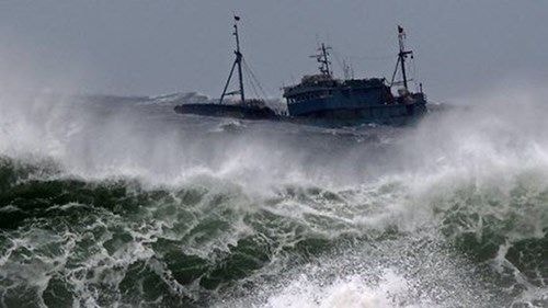 |
| Illustration photo. |
In the next 24 to 48 hours, the storm is likely to change direction to the North-Northwest, traveling about 5km per hour. At 13:00 on October 19, the center of the storm was at about 17.1 degrees North latitude; 121.1 degrees East longitude, in the Lu Dong island area.
The strongest wind near the storm center is at level 12-13 (120-150km per hour), gusting at level 15-16. Due to the influence of the Koppu storm circulation, the eastern sea area of the North and Central East Sea has strong winds at level 6-8, gusting at level 9-10. The sea is very rough.
In the next 48 to 72 hours, the storm is likely to change direction to move north, traveling about 5km per hour.
It is known that when entering the East Sea, Koppu will be the fifth storm in this year's storm season.
According to the National Center for Hydro-Meteorological Forecasting
| RELATED NEWS |
|---|

