Exhibition of maps and photos "Sea and islands in the heart of the Fatherland"
On June 4 in Dien Bien Phu city, the Dien Bien Phu Historical Victory Museum organized an exhibition of maps and photos on the theme "Sea and islands in the heart of the Fatherland."
The exhibition displays 50 maps, drawn from the dynasties of Vietnam, China and the world about the East Sea, including six maps drawn by Vietnam in the 15th century; 25 maps drawn by Southeast Asian and Western countries in the 15th century; 19 maps drawn and published by China since the 20th century.
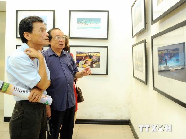 |
| Illustration photo |
All the maps above confirm that the two archipelagos of Truong Sa and Hoang Sa belong to Vietnam.
The exhibition also displays nearly 100 photos of sightseeing and service activities of agencies, departments and Dien Bien people on Vietnam's sea and island areas; images of joint activities for the sea and islands that took place in Dien Bien province.
Within the framework of the exhibition, the Dien Bien Phu Historical Victory Museum organized a fundraising campaign to support the construction of islands.
Mr. Vu Nam Hai, Director of the Dien Bien Phu Historical Victory Museum, said that with maps of Vietnam and the world through historical periods, the exhibition is a practical activity, helping viewers grasp more about historical documents and the sovereignty of the sea and islands of the Fatherland.
The exhibition is also an opportunity to promote and educate the young generation about patriotism, national pride and determination to join hands to protect the sovereignty of the Fatherland.
According to Vietnam+


