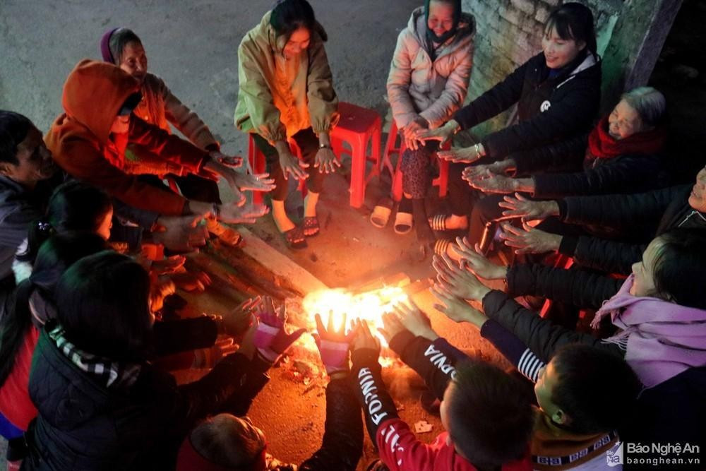
From tomorrow night (November 6), the North Central region will turn cold, mountainous areas will be freezing.
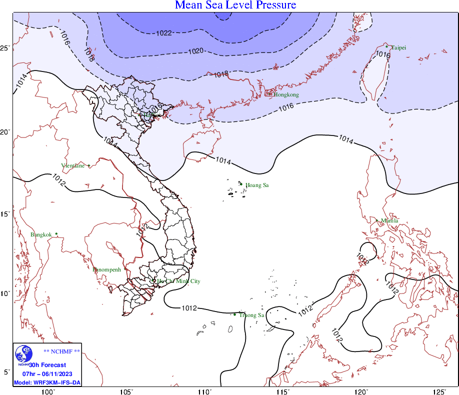
Currently (November 5), in the North there is a cold air mass moving south.

Information fromNational Center for Hydro-Meteorological Forecasting, currently a cold air mass is moving south. Around the morning of November 6, this cold air mass will affect the mountainous areas of the North and the Northeast, and at noon and afternoon on November 6 it will affect other places in the Northeast. On the night of November 6, it will affect the North Central, the Northwest and some places in the Central Central. The wind will turn to the Northeast inland at level 2-3; coastal areas at level 3-4.
From the night of November 6, in the Northern and North Central regions, it will be cold at night and in the morning, and cold in the mountainous areas. During thecold airThis season the lowest temperature in the North and North Central regions is commonly from 20-23 degrees, in mountainous areas 16-19 degrees.

At sea, from the afternoon and night of November 6, in the Gulf of Tonkin, the wind will change direction to strong Northeast level 5, sometimes level 6, gusting to level 7-8, waves 1.0-2.0m high, rough seas. From the night of November 6, the North East Sea will have strong Northeast wind level 6, gusting to level 8, waves 1.5-2.5m high, rough seas.
From early morning and on November 6, the North will have scattered showers and thunderstorms, with moderate rain and locally heavy rain in the mountainous and midland areas. From the evening of November 6, the North Central region will have scattered showers and thunderstorms, with locally heavy rain and moderate rain. Thunderstorms may include tornadoes, lightning, hail and strong gusts of wind./.


