(Baonghean.vn) - A landslide has appeared on National Highway 48A through Chau Thang Commune (Quy Chau - Nghe An) for the past 4 days. According to authorities, the landslide poses a risk of cutting off traffic.
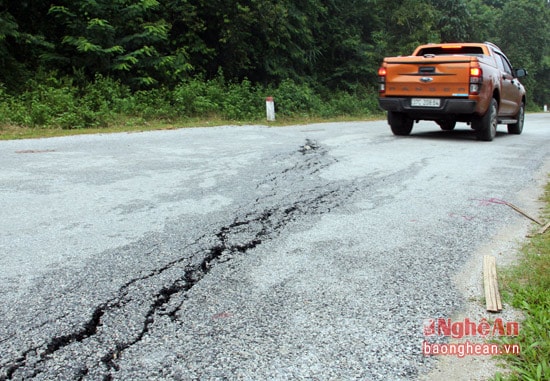 |
| Landslides appeared at km 90 + 900 on National Highway 48A, passing through Ban village, Chau Thang commune, starting to appear after the floods on September 13 and 14. |
 |
| At the landslide site, an arc-shaped crack about 35m long forms a cross-section. |
 |
| The cracks extend to the edge of the road on the embankment. At the time the reporter recorded the cracks, there were sections nearly 10cm wide and tens of meters long. |
 |
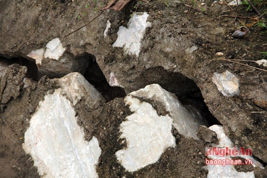
| On the negative slope of the landslide, a large landslide appeared due to the recent flood. |
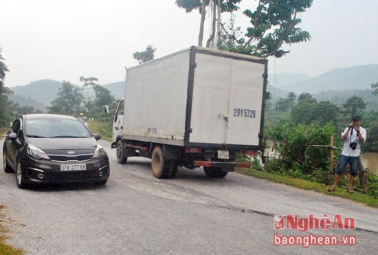 |
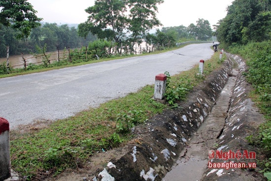
| This is the main road of Chau Thang and Chau Tien communes (Quy Chau) and the entire Que Phong district to go to other districts and provinces. Therefore, there is a large volume of traffic every day. Under the weight of vehicles and the continuous rain, the risk of landslides is even higher. |
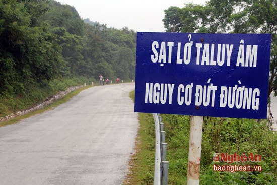 |
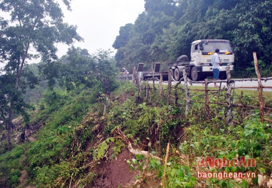
| Currently, the local Road Management Department has put up warning signs for road users about this landslide. |
Vi - Phuong


.jpg "Nghệ An: Thông tin nổi bật ngày 29/9")
.jpeg "Quốc lộ 48 có 8 điểm ngập sâu, 9 điểm sạt lở nguy hiểm")

