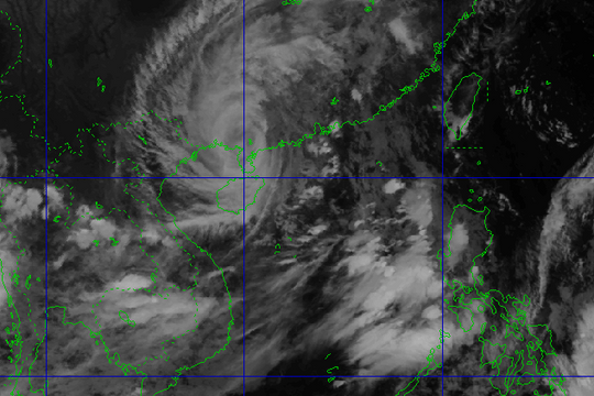
Super typhoon Mangkhut may directly affect Nghe An
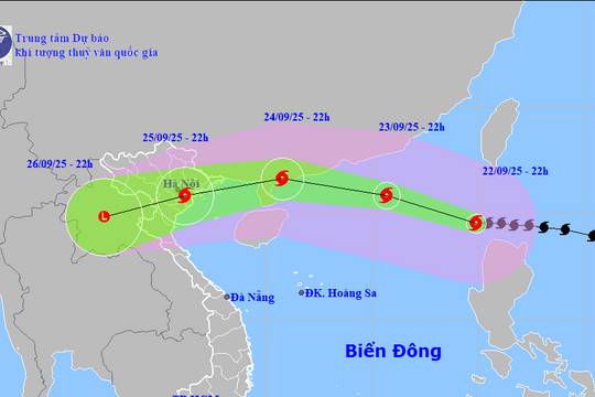
At noon or afternoon on Monday (September 17), the super storm will directly affect the North and Thanh Hoa and Nghe An.
On the afternoon of September 13, Deputy Director General of the National Hydrometeorological Forecasting Department Le Thanh Hai said that Vietnamese and international forecasting models agree that the possibility of super typhoon Mangkhut directly affecting Vietnam is up to 70-80%.
|
Deputy Director General of Hydrometeorology Le Thanh Hai. Photo:Vo Hai. |
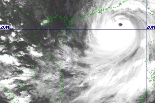
Mr. Hai said that super typhoon Mangkhut is at its strongest, with winds reaching level 16-17. It is likely that when it enters the East Sea, the storm will weaken by two levels and then weaken further when it sweeps over Hainan Island (China). At that time, the storm will be level 11-12.
"Although the storm may decrease, its impact is very wide. If the storm enters the northern part of the Gulf of Tonkin, the strong winds of level 10 will cover the entire bay," Mr. Hai said.
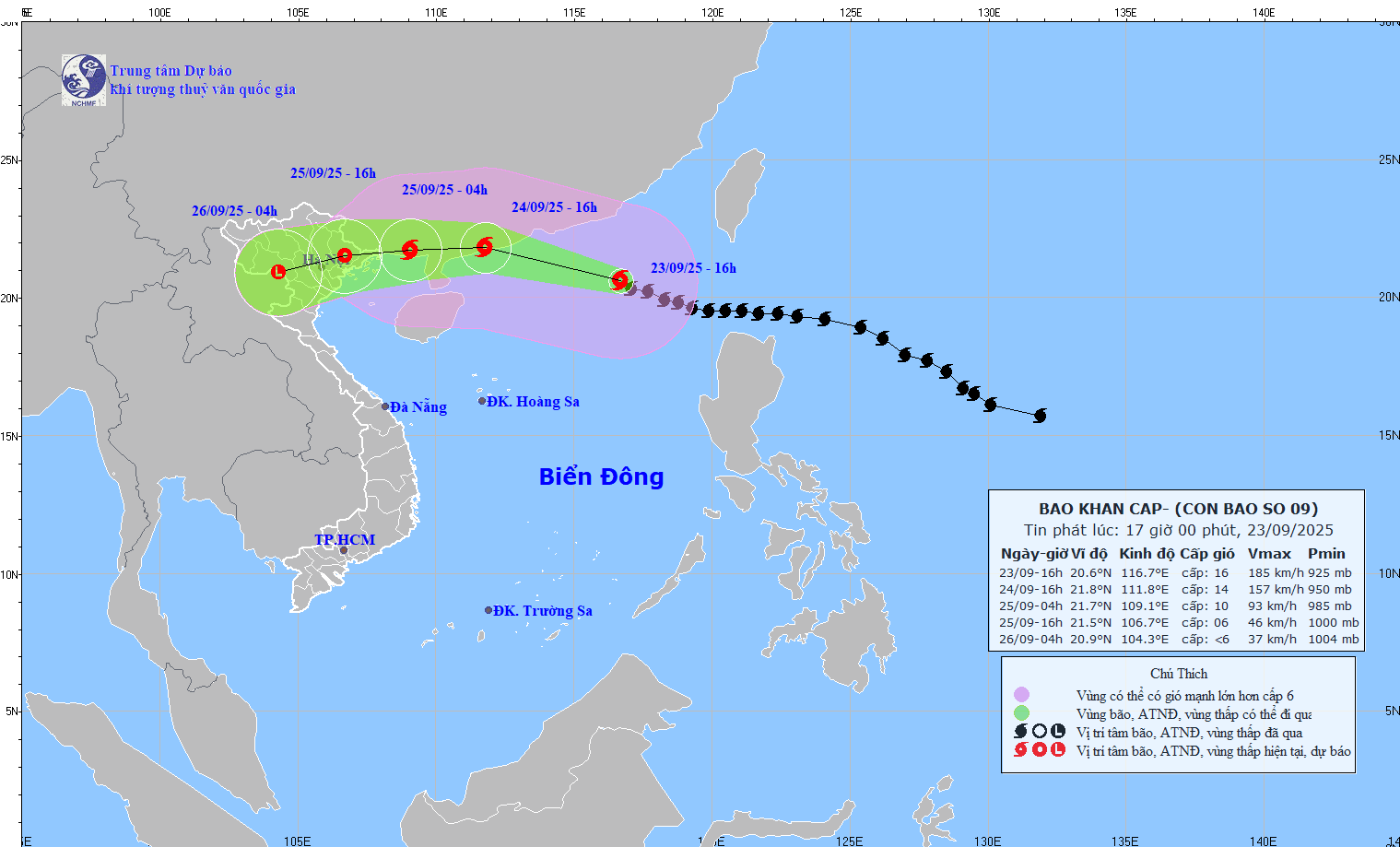
The Meteorological Agency forecasts strong winds and large waves in the Gulf of Tonkin starting early on Sunday, September 16. By noon or afternoon on Monday, September 17, the storm will directly affect the North and Thanh Hoa and Nghe An. The southern edge of the storm may also affect Ha Tinh, Quang Binh and Quang Tri.
Authorities said that Mangkhut made landfall at a time when the tide was at its peak, so storm surges could rise 4-6 meters, requiring close attention to the safety of sea dykes from Mong Cai to Nghe An. In addition, island areas, especially those in the Northeast of Quang Ninh and Hai Phong, need to be warned early to have prevention and evacuation plans.
|
Eye of super typhoon Mangkhut at 6:00 p.m. on September 13. Source:NCHMF. |
Deputy General Director Le Thanh Hai shared that the forecast of the storm's path was relatively accurate, but the forecast of the storm's intensity still had certain limitations. Currently, the assessment center has two possibilities: the storm will move north of the Gulf of Tonkin or move into the middle of the Gulf of Tonkin.
Hanoi proposes to ban Nhat Tan and Vinh Tuy bridges when storms hit
Mr. Nguyen Van Huong (Head of Climate Forecasting Department, National Center for Hydro-Meteorological Forecasting) said that due to the influence of storm Mangkhut, there will be heavy rain on September 17-18 with a total amount of 400 mm.
Hanoi is forecast to be in the storm's area of influence with average winds reaching level 8, however, attention should be paid to gusts of wind. "For long bridges like Vinh Tuy and Nhat Tan, we can consider closing the bridge to ensure safety," said Mr. Huong.
|
Forecast of storm surge and high tides due to Typhoon Mangkhut. Source.NCHMF. |
According to Mr. Huong, the ban on vehicles traveling on national highways or bridges has been implemented by some localities before. For example, in Quang Ninh when a storm makes landfall directly, the government will prohibit people and vehicles from crossing Bai Chay Bridge. In 2017, Ha Tinh also banned traffic on National Highway 1 through the province when a storm hit.
When there is a strong storm, the southwest wind is also very strong, so in addition to causing heavy rain in the North and Central regions, the storm also causes rain in the Central Highlands and the South. Ms. Trinh Thu Phuong (Head of the Northern Hydrological Forecasting Department) said that in the worst scenario of storm Mangkhut, heavy rain will cause floods on rivers in the North, the water level of Buoi and Bui rivers may rise. In the provinces of Son La, Hoa Binh and Lao Cai, a tailings dam has just broken, there is a risk of landslides and flash floods.
According to the Central Steering Committee for Natural Disaster Prevention, in the face of the risk of super typhoon Mangkhut directly affecting Vietnam, on Friday afternoon (September 14), Deputy Prime Minister Trinh Dinh Dung will chair a meeting with relevant ministries and branches to discuss response plans.
According to Vietnam's storm classification, winds from level 8, 9 are called storms; levels 10, 11 are strong storms; from level 12 to 15 are very strong; from 16 and above are called super storms.
The concept of super typhoon began to be mentioned in November 2013, when typhoon Haiyan was predicted to make landfall in Vietnam after causing a disaster with over 7,000 deaths in the Philippines.
One year later (July 2014), level 13 storm Rammasun directly affected Mong Cai (Quang Ninh province). When landing in Mong Cai city, the storm weakened to level 10, causing a power outage in the entire eastern part of Quang Ninh province.


