Latest images taken before Super Typhoon Yagi on September 6th.
Latest satellite and sky imagery ahead of Super Typhoon Yagi, September 6, 2024.
Latest satellite imagery from before Super Typhoon Yagi.
Due to the influence of the circulation of typhoon No. 3, Bach Long Vi Island experienced strong winds of level 6, gusting to level 8.
At 13:00 on September 6th, the center of Typhoon No. 3 was located at approximately 19.8 degrees North latitude and 111.2 degrees East longitude, in the sea northeast of Hainan Island (China), about 450km east-southeast of Quang Ninh province. The strongest winds near the center of the typhoon reached level 16 (184-201 km/h), with gusts exceeding level 17, moving west-northwest at a speed of 15-20 km/h.

| Forecast time | Direction, speed | Location | Intensity | Hazardous area | Level of natural disaster risk (Affected area) |
| 01:00/07/9 | West-Northwest, 15-20km/h, entering the northern part of the Gulf of Tonkin. | 20.4N-109.1E; in the eastern sea area of the Gulf of Tonkin, about 230km east-southeast of Quang Ninh. | Level 14, then level up to level 17. | North of latitude 17.0N; west of longitude 113.5E | Level 4:Northwest of the North East Sea region; East of the Northern Gulf of Tonkin region High school:the western part of the northern Gulf of Tonkin and the southern part of the Gulf of Tonkin |
| 13:00/07/9 | West-Northwest, 15-20km/h | 20.9N-107.2E; over the coastal areas of Quang Ninh and Nam Dinh provinces. | Level 11-12, bursts up to level 15. | North of latitude 18.0N; West of longitude 111.0E | Level 4:coastal waters and inland areas of Quang Ninh and Hai Phong. High school:The Gulf of Tonkin, the coastal waters and inland areas of the provinces of Thai Binh, Nam Dinh, Ninh Binh and Thanh Hoa. |
| 13:00/08/9 | West-Northwest, At about 20 km/h, it moved inland, weakened, and gradually dissipated. | 22.3N-102.3E; in the Vietnam-Laos border area | Level <6 |
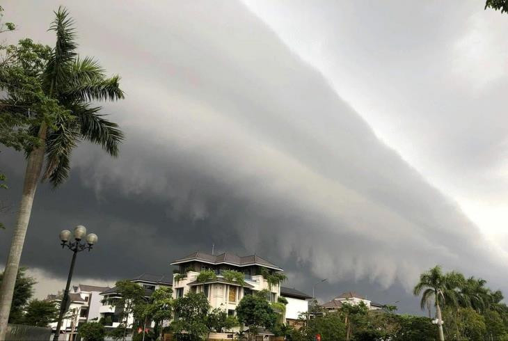
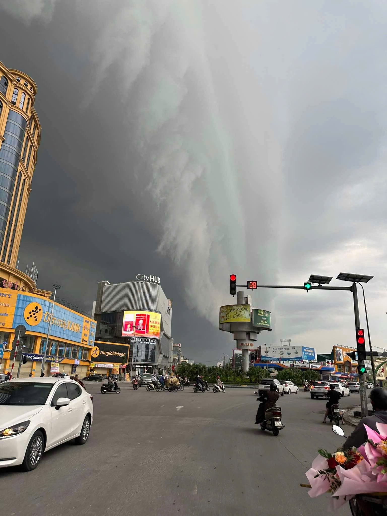
Latest sky images ahead of Super Typhoon Yagi.
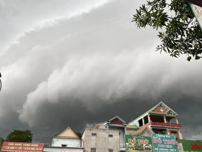
Mr. Nguyen Van Tuat (72 years old, residing in Vinh City) said: Thunderstorms usually appear when a typhoon is coming. However, the phenomenon of clouds layered like ocean waves is very rare.

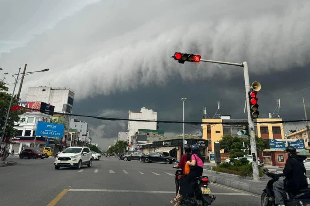
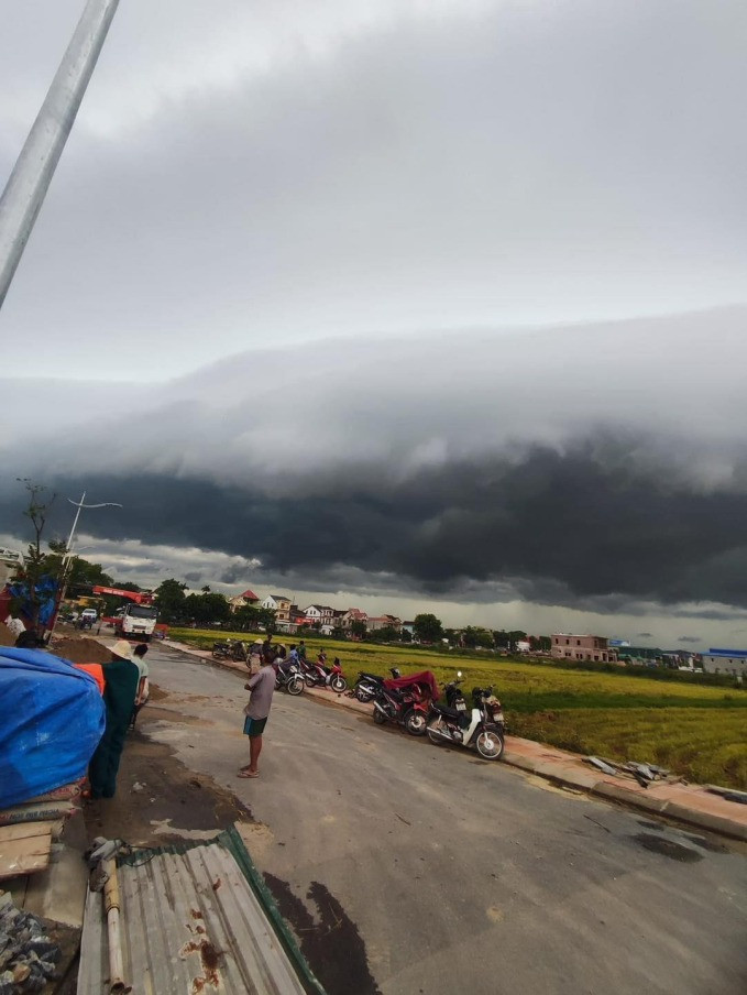
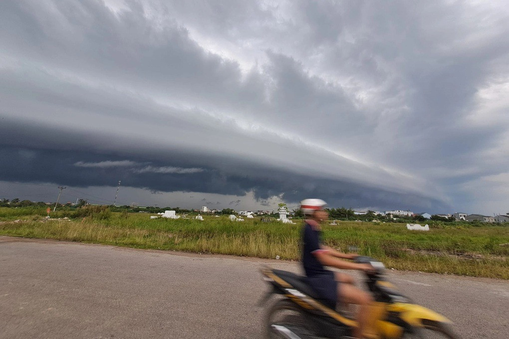

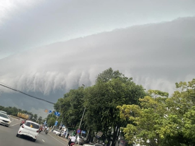
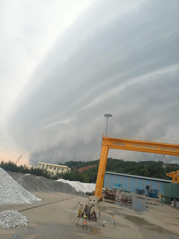

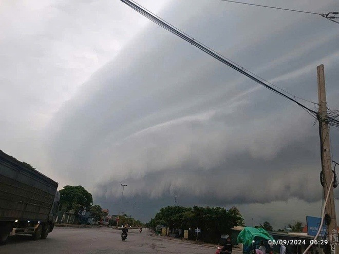


Around 7:30 this morning (September 6th), an unusual and rare cloud formation appeared in the sky over Vinh City (Nghe An province).