Is this winter the coldest in 100 years?
Recently, there has been some information that this winter will be a record cold, the coldest in the past 100 years. Hydrometeorological experts will answer this question.
Many cold spells
According to Mr. Nguyen Duc Hoa, Deputy Head of the Department of Medium- and Long-Term Meteorological Forecasting, the Central Center for Hydro-Meteorological Forecasting, the winter temperature this year from November 2017 to April 2018 will be approximately the average of many years (TBNN), especially December 2017 in the Northern region will be 0.5-1.0 degrees Celsius higher. |
Regarding information spreading online that this winter will be the coldest in the past 100 years, Mr. Nguyen Duc Hoa said there is no basis to conclude that information.
"According to monitoring by world meteorological organizations as well as major climate centers in the world, there is no information indicating that this year is the coldest year ever, including in Europe as well as Asia and the South in particular," said Mr. Hoa.
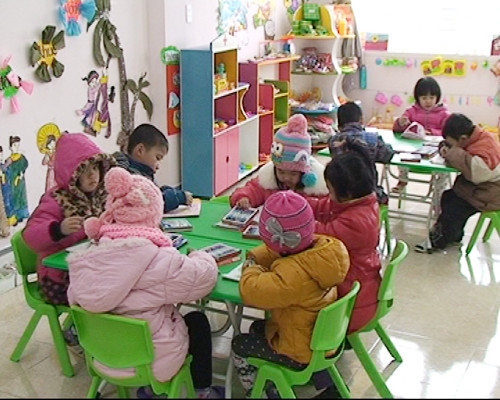
However, Mr. Hoa also warned that according to the forecast, this winter will still have severe cold spells lasting 7-10 days. However, with the medium-term and long-term drought forecasting technique, it is not yet determined whether the cold spell will be extreme or not, because severe cold spells can only be predicted about 7-10 days in advance, but with the temperature forecasted to be approximately average, the possibility of extreme cold spells occurring is not high.
 |
| This winter, there is a possibility of severe cold spells lasting 7-10 days. Photo from the internet |
Particularly in Hanoi area, in the 3 main winter months, December 2017 and January-February 2018, the temperature in December is 0.5-1 degree higher than the average. Thus, the average in Hanoi is about 18.2 degrees, it will fluctuate from 18.5-19.5 degrees, January temperature is from 16-17 degrees, February is from 17-18 degrees.
There are about 4 storms and tropical depressions left.
The National Center for Hydro-Meteorological Forecasting said that from the second half of October to the end of 2017, there will be about 4 storms and tropical depressions active in the East Sea, of which about 2 will directly affect the mainland of our country and concentrate in the Central and Southern regions.
Rainfall in November and December 2017 in most areas of the North was 15-30% lower than the average, from January to April 2018 it was generally at the average level.
Rainfall in the North Central region in November and December 2017 was generally 10-20% lower than the average for the same period, and from January to April 2018 it was generally at the average level.
 |
| Good cold protection will protect your health in the cold winter. Photo: Internet |
In the Central and South Central regions, total rainfall during the months of November-December 2017 and March-April 2018 was generally at the average level of the same period; in particular, January and February 2018 was generally 15-30% higher than the average. It is highly likely that the Central region will experience heavy rains during the second half of October and November 2017.
In the Central Highlands and the South, the weather in November-December 2017 and March-April 2018 is generally at the same average level as the same period; in January and February 2018, it is generally higher than the average due to the possibility of unseasonal rain.
Water resources on rivers in the Northern region from late 2017 to early 2018 were generally at the average level, with March and April 2018 being lower than the average.
The annual flood peak in the Central and Central Highlands is equivalent to the average; in the South it is lower than the average. The risk of storm surges and big waves is still concentrated in the coastal areas of the Central and Southern regions.
According to baotintuc
| RELATED NEWS |
|---|

.jpg)


.jpg)

