 |
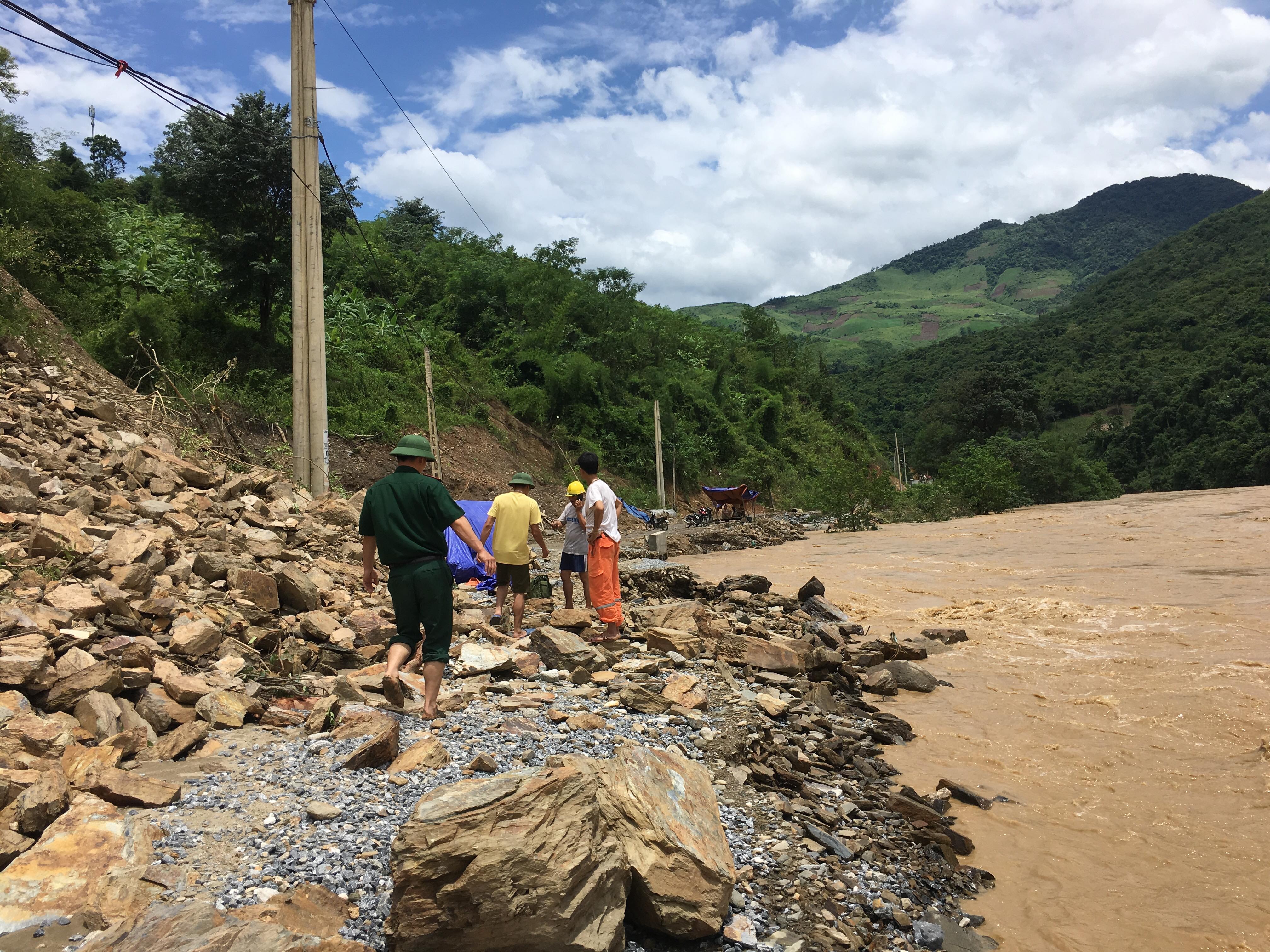
| It is hard to recognize this is the route from Muong Xen to Ta Ca. Photo: Hai Thuong |
The Nam Mo River water level rose, the road collapsed, rocks and soil flooded onto the road, people and vehicles could not pass. Specifically, on this route there were 2 landslides, a section of nearly 1 km long, from Km 0 +300 from Tam bridge to Binh Son 1 village and Km 0 +600 from Binh Son 1 village to Canh village. |
| Floodwaters are so deep that the road from Muong Xen to Ta Ca is no longer visible in many sections. Clip: Hai Thuong |
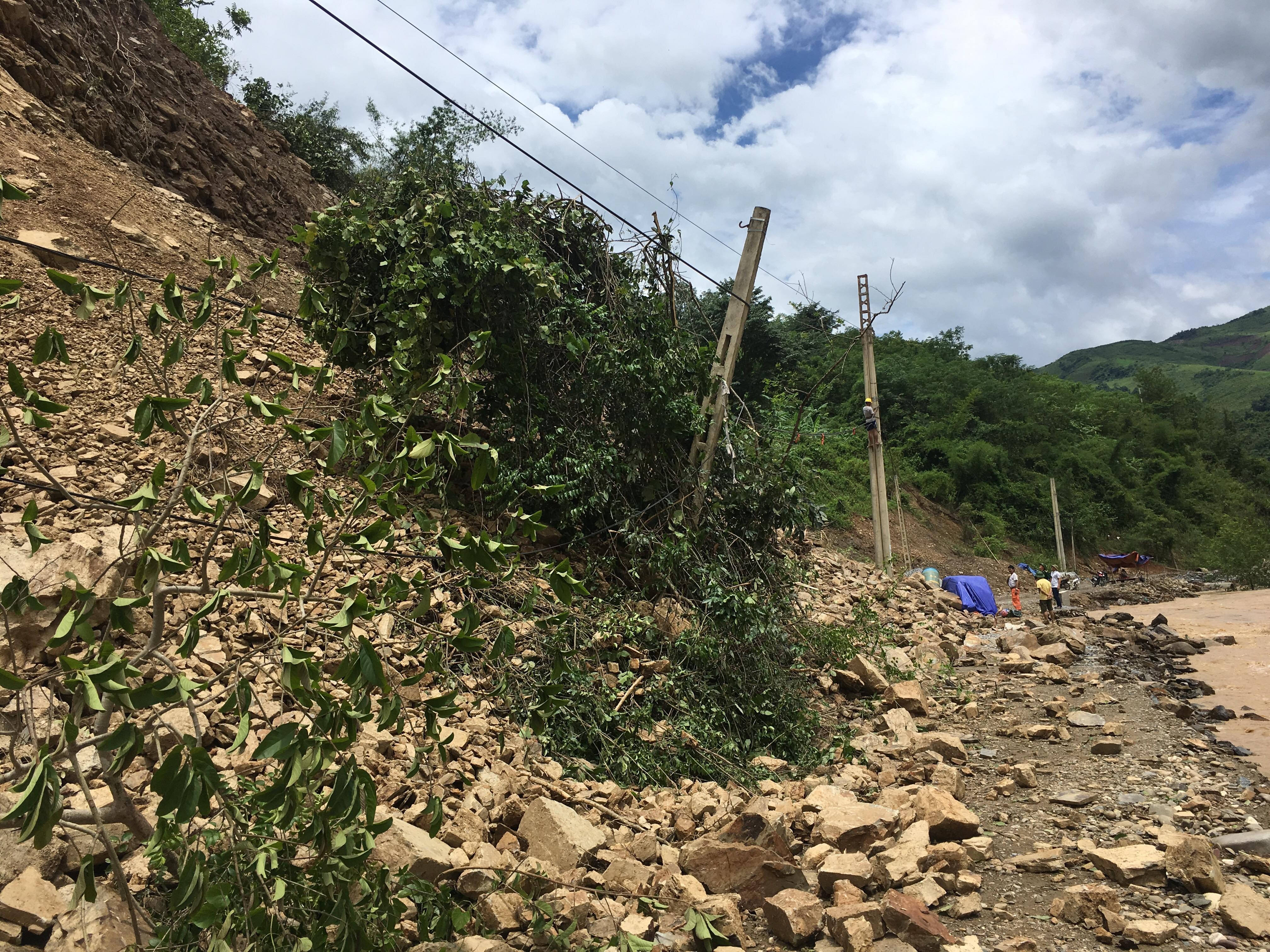 |
| This route was almost "erased", only water and rocks remained. Photo: Hai Thuong |
Currently, all vehicles, including pedestrians, cannot pass through this road. Local authorities and relevant agencies are looking for solutions./.


.jpeg "Nhiều điểm sạt lở núi trên Quốc lộ 7C gây mất an toàn giao thông")

.jpg "Phát hiện vết nứt dài cả trăm mét trên sườn núi, xã vùng cao Nghệ An cử người canh gác để di dời dân")

