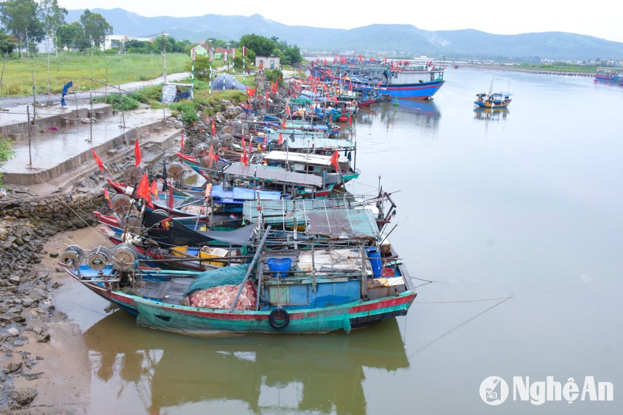
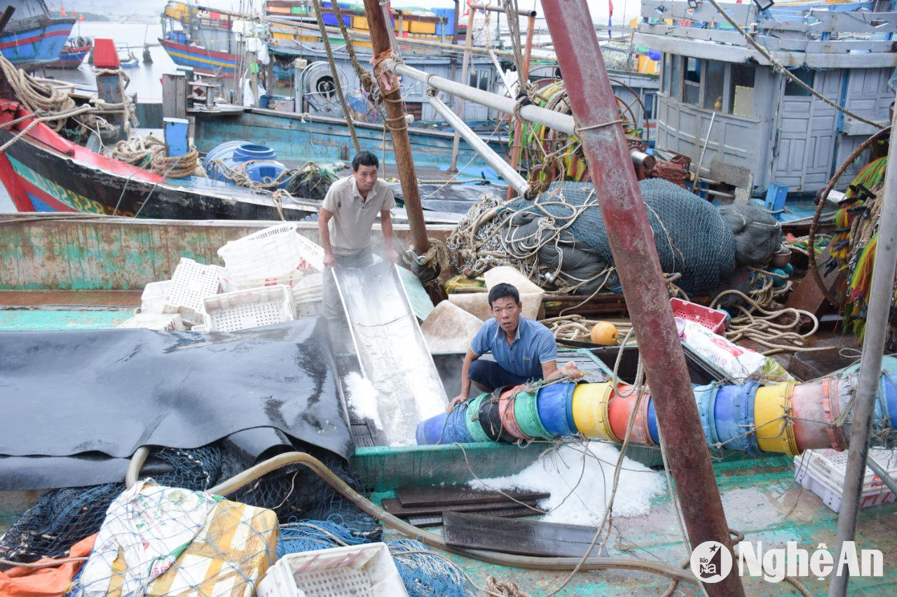
People in coastal areas of Nghe An province are racing against time to prepare for Super Typhoon Yagi.
Taking advantage of the clear weather before the storm hits, this morning (September 7th), people along the coast of Nghe An province are urgently completing the final preparations to cope with Super Typhoon Yagi.


.jpg)


According to the marine weather forecast for today (September 7, 2024), the northern part of the East Sea (including the waters around the Hoang Sa archipelago) will experience strong southerly to southeasterly winds of force 6-7, gusting to force 8-9, with rough seas. Wave heights will range from 3.0 to 5.0 meters.
The Gulf of Tonkin area (including Bach Long Vy and Co To island districts) will experience strong winds of force 8-9, later increasing to force 10-11, with winds reaching force 12-14 near the storm's center, and gusts up to force 17. The sea will be extremely rough. Wave heights will range from 3.0-5.0m, and 6.0-8.0m near the storm's center.
The coastal waters from Quang Ninh to Thanh Hoa will experience strong winds of force 6-7, later increasing to force 8-9, with winds near the storm's center reaching force 10-12, gusting to force 14. The sea will be extremely rough. Wave heights will range from 2.0-4.0m, and 3.0-5.0m near the storm's center.
The sea area from Quang Tri to Ca Mau, the central part of the East Sea and the northern part of the South East Sea (including the sea area around the Spratly Islands) will experience strong southwest winds of force 6, sometimes force 7, gusting to force 8-9. The sea will be rough. Wave height will be from 3.0-5.0m.
Additionally, on September 7th, both day and night, the Gulf of Tonkin will experience storms; the northern and central areas of the East Sea (including the waters around the Hoang Sa archipelago), the sea areas from Quang Tri to Ca Mau, and from Ca Mau to Kien Giang will have showers and thunderstorms. Tornadoes and strong gusts of wind are possible during thunderstorms.

