Responding to Nghi Loc voters' petition on the issuance and exchange of Land Use Right Certificates for cases of plot division
(Baonghean.vn) - Voters of Nghi Dong and Nghi Van communes, Nghi Loc district, reported that in the process of granting and exchanging land use right certificates for cases of land division, the re-measurement of satellite markers was much different from the time of re-measuring the cadastral map in 2014.
In addition, voters also reflected that if they want to change the houses, they have to dismantle the constructions related to the adjacent households, causing difficulties and frustration for the people. They requested the Provincial People's Committee to direct solutions to help the people.
Reply:
The Department of Natural Resources and Environment has coordinated with the People's Committee of Nghi Loc district and the People's Committees of two communes: Nghi Dong and Nghi Van to resolve the voters' petitions. Through working and receiving opinions from the participants, the Department of Natural Resources and Environment has the following opinions:
The cadastral mapping work in Nghi Van commune (2006) and Nghi Dong commune (2014) was measured and drawn in accordance with the current management and usage status, ensuring compliance with the regulations on cadastral mapping establishment issued in Decision No. 720/1999/QD-DC dated December 30, 1999 of the General Department of Land Administration No. 08/2008/QD-BTNMT dated November 10, 2008 of the Ministry of Natural Resources and Environment; the map products were inspected and signed by the People's Committees of 02 communes: Nghi Van and Nghi Dong to confirm that the measurement and drawing were in accordance with the current management and usage status at the time of measurement and change.
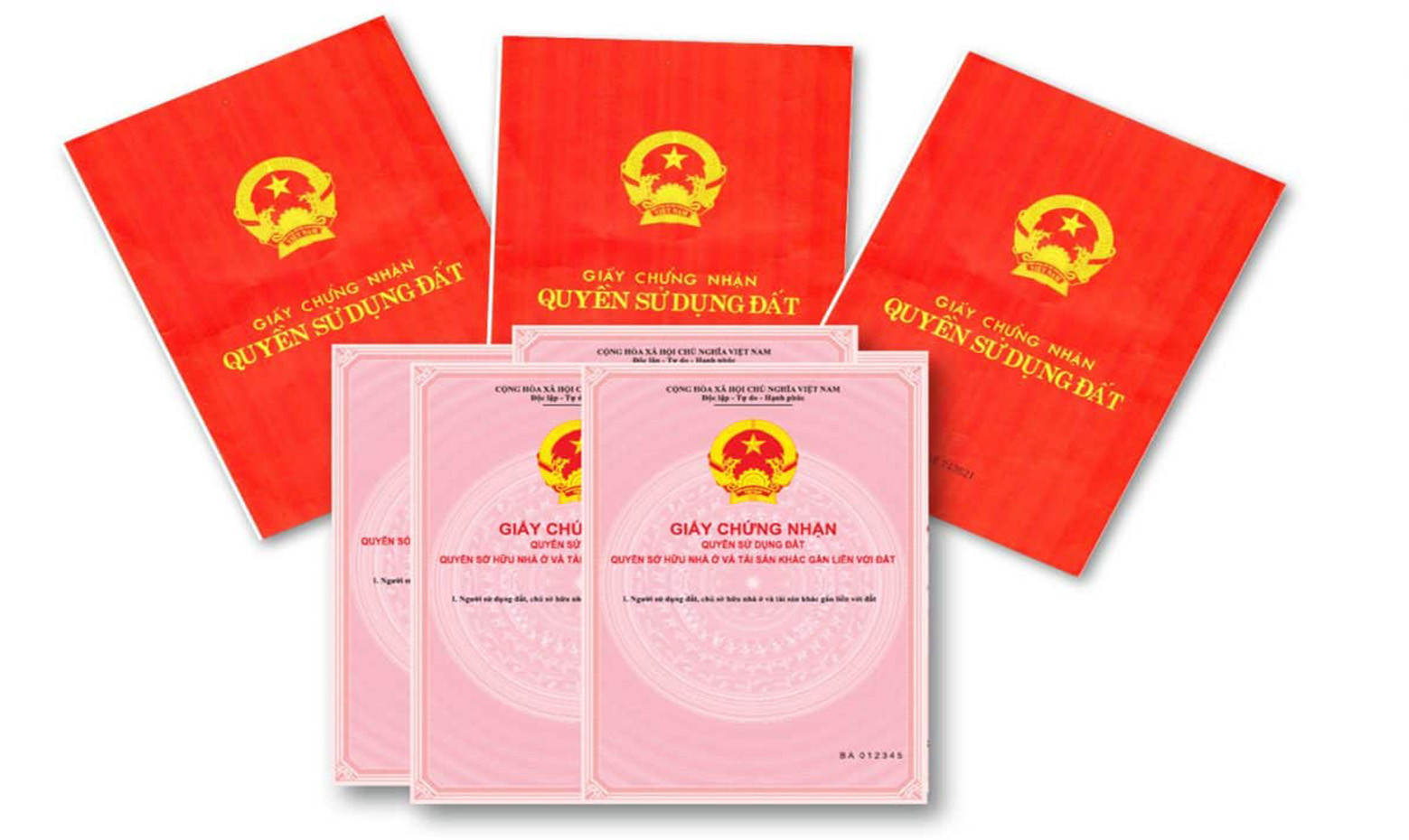 |
Land use rights certificate. Illustration photo |
Currently, when re-measuring maps or extracting cadastral measurements to serve the issuance of Certificates for cases of land division, there are discrepancies compared to the previous measurement time (2006, 2014), the main reason is due to land use changes compared to the cadastral map, specifically:
- During the process of using the land, adjacent households arbitrarily exchanged land with each other. During the process of rebuilding the fence, households arbitrarily agreed on the boundary, leading to errors compared to the previously measured cadastral map. On the other hand, previously (at the time of measuring the cadastral map in 2006 and 2014), the boundary between households was a tree fence or an open bank. Currently, rebuilding the fence leads to errors in the boundary compared to the cadastral map.
- Due to the implementation of new rural areas, traffic routes in the commune have been expanded, leading to changes in plot boundaries.
- In addition, when currently performing land division measurements, there are cases where the measuring unit uses relative satellite coordinate measuring equipment (relative GNSS measurement technology) that does not ensure accuracy, leading to boundary discrepancies with previous cadastral maps.
To address voters' recommendations, the Department of Natural Resources and Environment issued Official Dispatch No. 67/STNMT-DDBDVT dated January 4, 2023, specifically as follows:
*Nghi Loc District People's Committee:
- Direct the Department of Natural Resources and Environment to coordinate with the Branch of the Land Registration Office of Nghi Loc district and the People's Committees of Nghi Dong and Nghi Van communes to specifically determine the cause of change in each case to guide people to prepare documents for granting certificates of guarantee according to regulations;
- Propaganda and guidance for land users to clearly understand the process of preparing documents for granting certificates, typically in cases where land users do not have the need to use the land for the land area that has been granted a certificate so that adjacent households can encroach on it and request to return it to the locality, they must prepare documents and procedures for land recovery according to regulations;
- Check and supervise the implementation of measurement and record-keeping for granting Certificates in the communes (especially in cases of land division and transfer), without causing trouble, harassment or extortion to the people.
*Provincial Land Registration Office:
- Direct the Nghi Loc District Land Registration Office Branch when performing the work of measuring, making extracts, and measuring, to use measuring equipment with guaranteed accuracy according to the provisions of Clause 2, Article 6, Circular No. 25/2014/TT-BTNMT dated May 19, 2014 of the Ministry of Natural Resources and Environment regulating cadastral maps. For residential land areas, it is not allowed to use GNSS technology measuring equipment for relative measurement;
- In case of residential buildings that were solidly built before the time of cadastral map measurement (2014), the current boundary status compared to the time of measurement has not changed. If the cause of boundary deviation is due to the use of measuring equipment that is relatively inaccurate (re-measuring the land plot boundary overlapping the building), it is recommended to guide and organize the preparation of a dossier to issue a certificate according to the cadastral map boundary, without requiring people to dismantle the building.
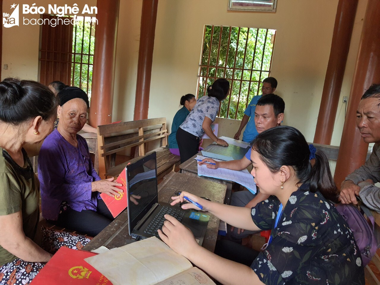 |
Officials from the Land Registration Office directly go to the grassroots to resolve difficulties in granting land use right certificates to people. Photo: Mai Hoa |
- The group of procedures for granting certificates according to regulations, with the motto of minimizing unnecessary procedures and documents; for cases of temporary construction, fences on land, affecting land plot boundaries, during the process of preparing documents for granting certificates, guide land users to make a commitment according to the provisions of the 2015 Civil Code.
- Direct the Branch of the Land Registration Office to coordinate with the Department of Natural Resources and Environment of Nghi Loc district, the People's Committees of Nghi Dong and Nghi Van to directly inspect each specific case of boundary changes to guide people in preparing documents for granting certificates according to regulations.
*People's Committees of Nghi Dong and Nghi Van communes:
- Organize land use management in the area to ensure compliance with legal regulations; do not allow land encroachment or households to arbitrarily transfer land to each other, leading to complaints, lawsuits and land disputes.
- Propagate and guide people to clearly understand the rights and obligations of land users and the process and procedures for granting Certificates for each specific case, avoiding the situation where people do not understand and have opinions and recommendations for a long time; in case people need to measure and check the boundaries of land plots, guide people to contact the competent unit with a license to operate in surveying and mapping to do so, avoiding the situation of using unqualified measuring equipment, providing inaccurate measurement data, causing frustration for people.
