Renovating streets and upgrading the urban landscape of Vinh.
The city of Vinh has dedicated resources to urban beautification, especially in recent years. The city has upgraded many streets, planted trees, created a new look for Vinh, and effectively implemented the urban plan.
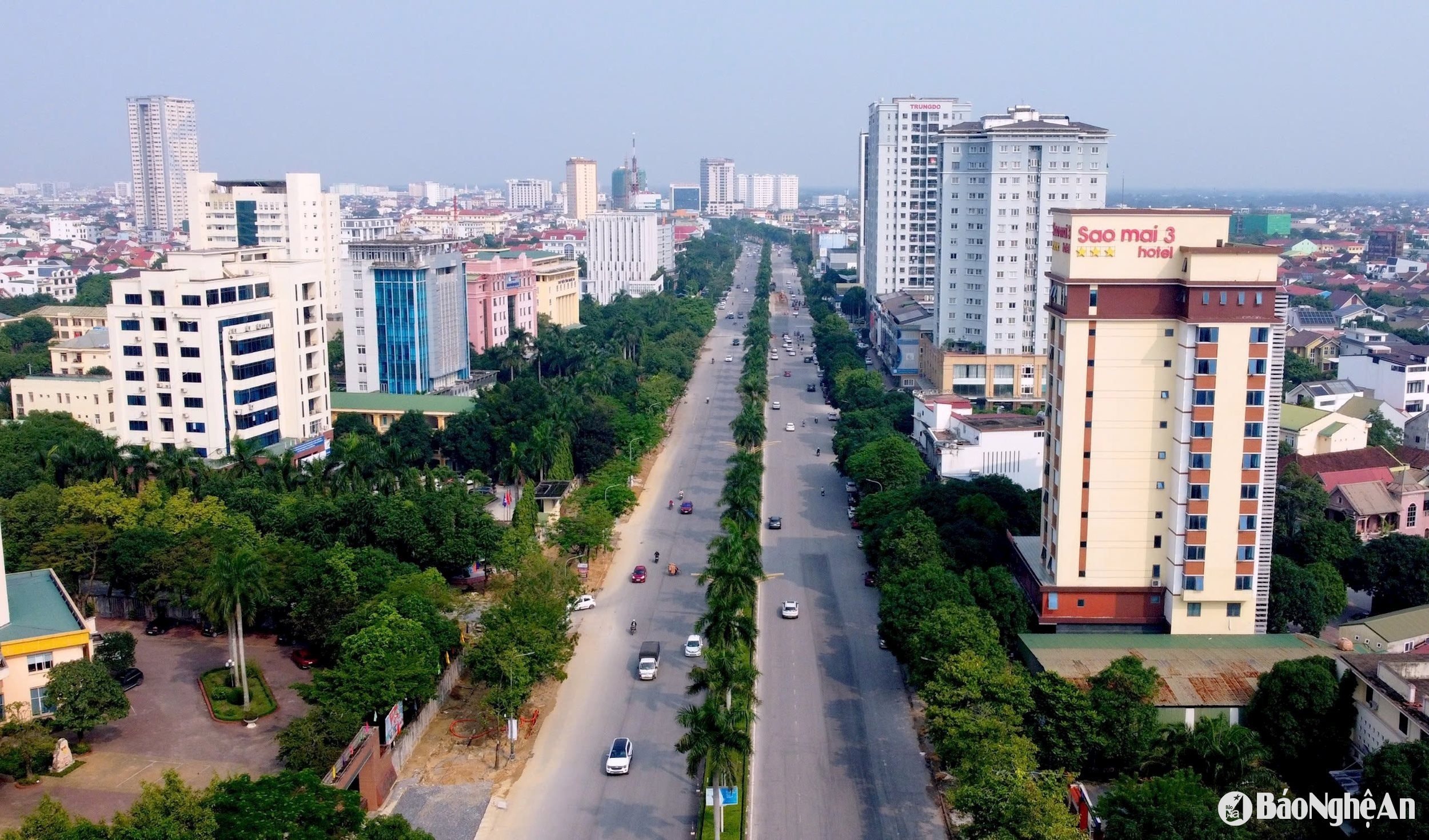
It is evident that the streets of Vinh City have received significant investment and upgrades in recent years. This includes investments in water supply and drainage systems, the expansion and renovation of sidewalks on streets such as Nguyen Thi Minh Khai, Nguyen Van Cu, Le Hong Phong, Ly Thuong Kiet, and the extended Nguyen Sy Sach; the 18m wide road connecting National Highway 46 with the Vinh - Cua Lo Boulevard; Hai Thuong Lan Ong Street; and most recently, the VILenin road from the airport to the Tran Phu intersection...
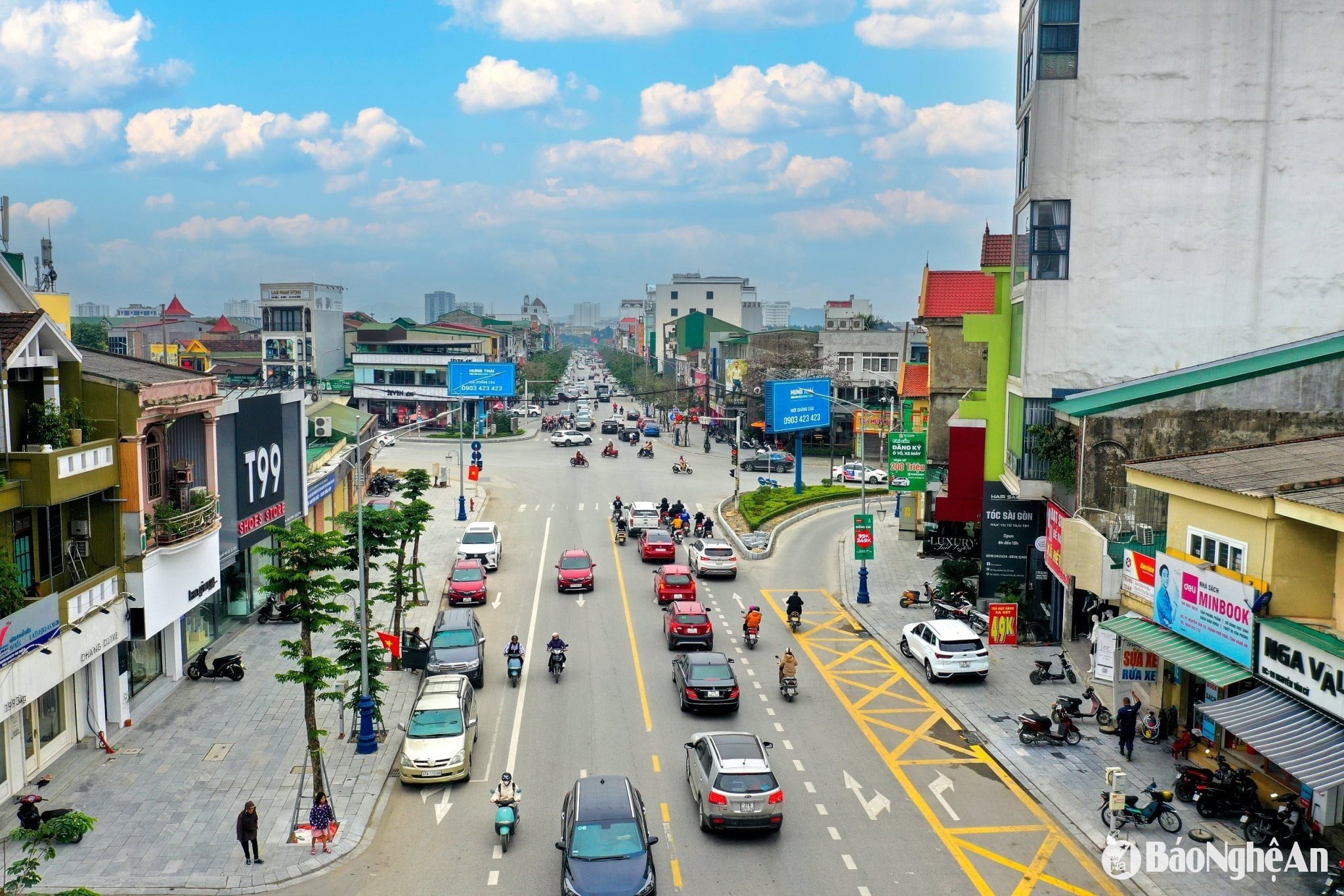
After renovation, the roads are wide, sturdy, and have clean sidewalks paved with standardized tiles. The roadbeds are raised, asphalted, and the primary, secondary, and tertiary drainage systems are connected and then led to the North Canal or other drainage canals.
In addition, the city has invested in a system of trees along each street, decorated with lighting systems, billboards, and banners, and renovated pedestrian streets during holidays and Tet (Lunar New Year), thereby creating a new, impressive, and beautiful appearance for the first-class city, attracting tourists to Vinh.
The city continues to call for other key projects such as: Expanding and upgrading the 35m road from National Highway 46 to the Vinh - Cua Hoi road; constructing a drainage canal connecting the Ke Gai River to the Rao Dung River; the "Priority Infrastructure and Urban Development Adapting to Climate Change" project, which has been approved by the National Assembly Standing Committee... Building and developing Vinh to be worthy of its status as a distinctive coastal city in the North Central region.
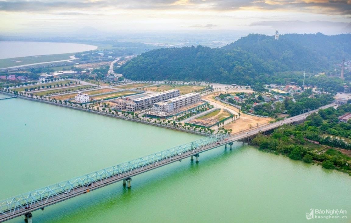
Mr. Tran Ngoc Tu, Chairman of the Vinh City People's Committee, stated: In 2025, the city will effectively implement the approved city planning until 2030. It will share resources and natural resources to coordinate with Nghi Xuan district, Ha Tinh province, to simultaneously develop a zoning plan along both banks of the Lam River, forming a landscape axis in the eastern part of the city. This will create a legal framework for land management, detailed planning, urban design, development control, and synchronized construction according to the plan, creating a breakthrough in exploiting the potential of the area on both sides of the Lam River, especially in services, tourism, and urban development.

