By 2030, Nghe An will basically complete mapping of landslide and flash flood risk areas.
Nghe An Provincial People's Committee has just issued Plan No. 635/KH-UBND approving the project on early warning of landslides and flash floods in mountainous and midland areas in the locality.
On August 8, the People's Committee of Nghe An province issued Plan No. 635/KH-UBND to implement Decision No. 1262/QD-TTg dated October 27, 2023 of the Prime Minister on approving the project on early warning of landslides and flash floods in mountainous and midland areas of Vietnam in Nghe An.
The purpose of the project is to provide information on landslides and flash floods in the province on the basis of effective coordination between research - management - government - local people and socio-political organizations.
Thoroughly direct departments, branches, People's Committees of districts and units to seriously and effectively implement Decision No. 1262/QD-TTg dated October 27, 2023 of the Prime Minister on approving the project on early warning of landslides and flash floods in mountainous and midland areas of Vietnam in the province.
The goal is to proactively improve the capacity to manage flash floods and landslides, and provide early warning information to communities in areas at high risk of landslides and flash floods so that they can take timely response measures.
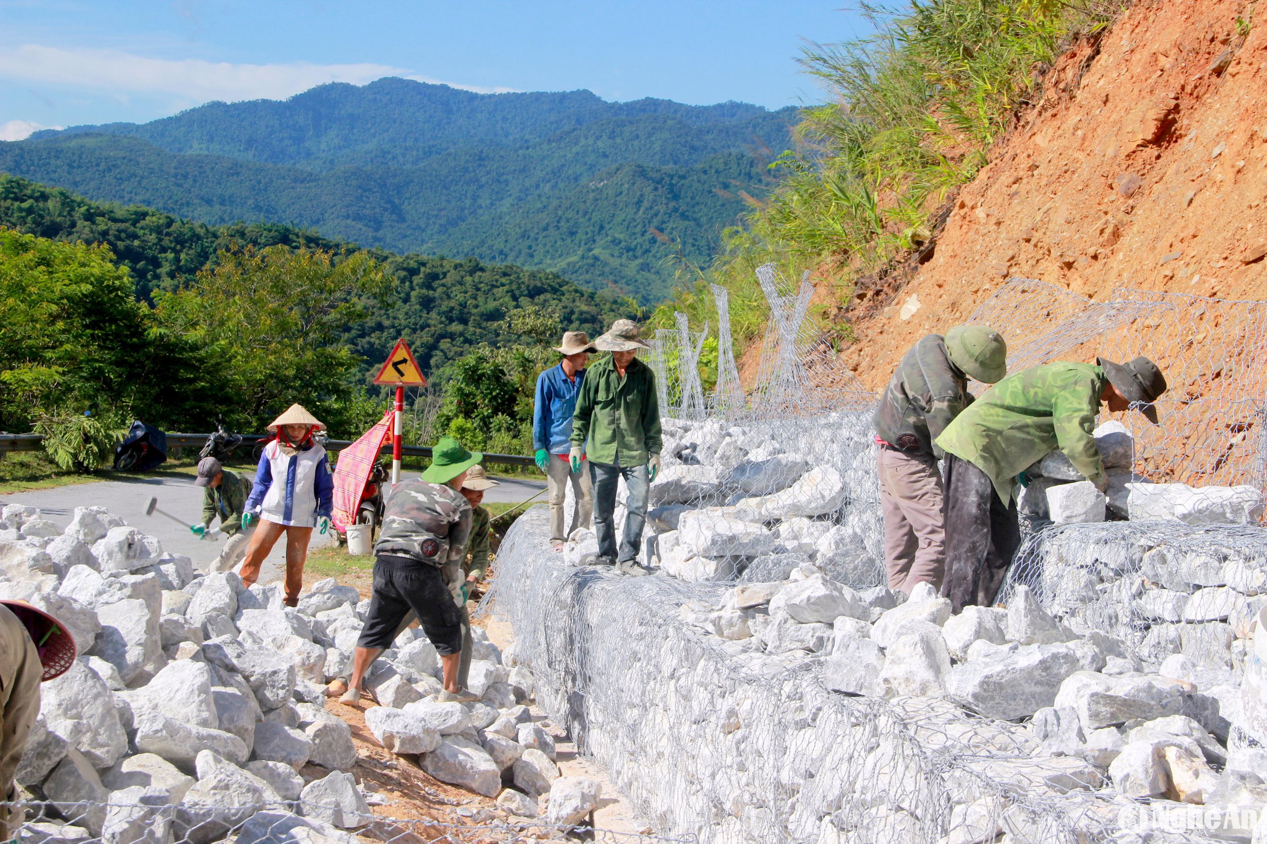
Early warning of landslides and flash floods in Nghe An serves natural disaster prevention, ensures safety of people's lives and property, infrastructure, creates conditions for stability and socio-economic development, and contributes to ensuring national defense and security.
The goal by 2030 is to basically complete the mapping of landslide and flash flood risk areas and areas at risk of environmental incidents at a scale of 1:10,000 or higher in high-risk locations and areas in the province; receive and maintain the application of the project's products locally to provide timely warning information on landslides and flash floods to management agencies and people.
Investigate, evaluate and establish landslide and flash flood risk zoning maps, update landslide and flash flood database in the province to provide warning information to the community.
Implementation period is from 2024 to 2030. Funding is from local budget and other legal sources. The Department of Natural Resources and Environment presides over and coordinates with departments, branches, and district-level People's Committees to organize the implementation of this plan.
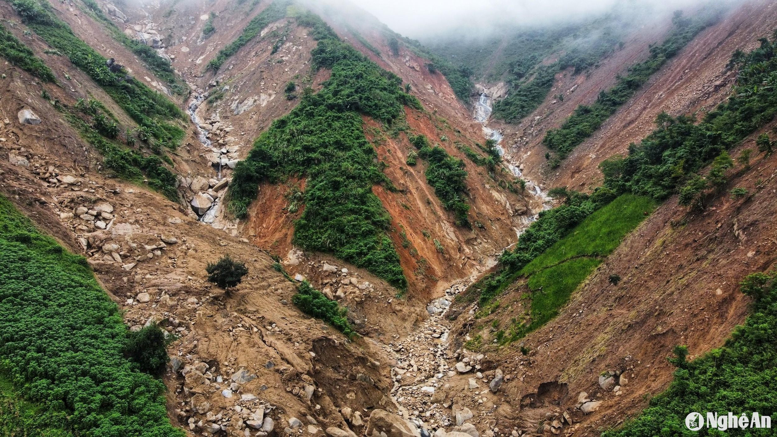
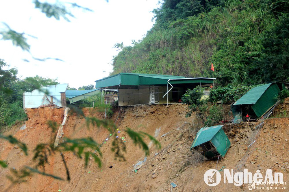
Every year, during the rainy season, mountainous and midland districts of Nghe An often experience landslides and flash floods. In recent years, especially in the districts of Ky Son, Que Phong, Quy Chau, Tuong Duong, etc., serious landslides and flash floods have occurred, causing heavy damage to traffic works, bridges, houses and people's property.
.jpg "Kết luận của đồng chí Phó Bí thư Tỉnh ủy Nghệ An về phong trào thi đua ‘Dân vận khéo’")


