Economy
Danger lurks on the road to Bao Thang commune (Ky Son) after floods
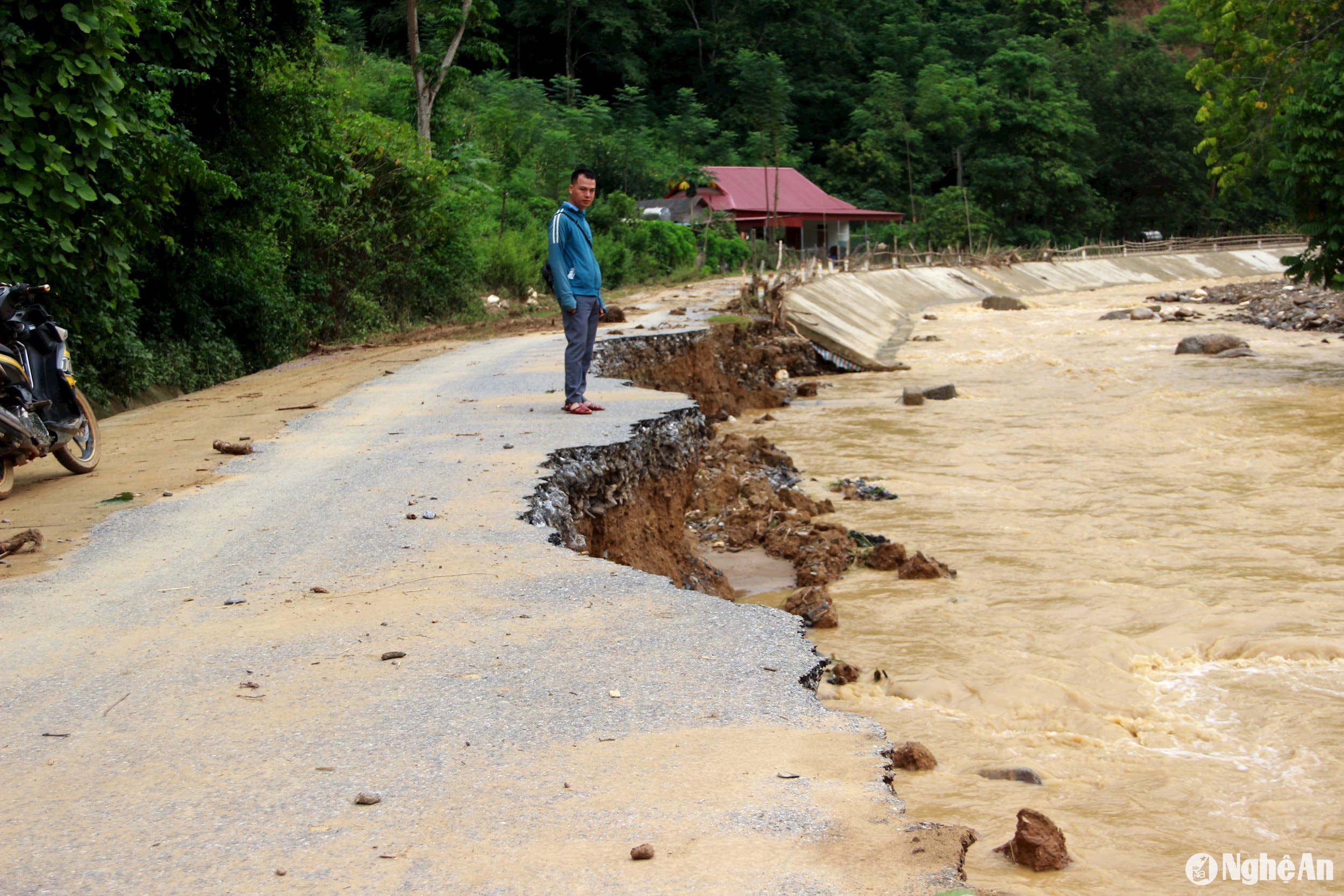
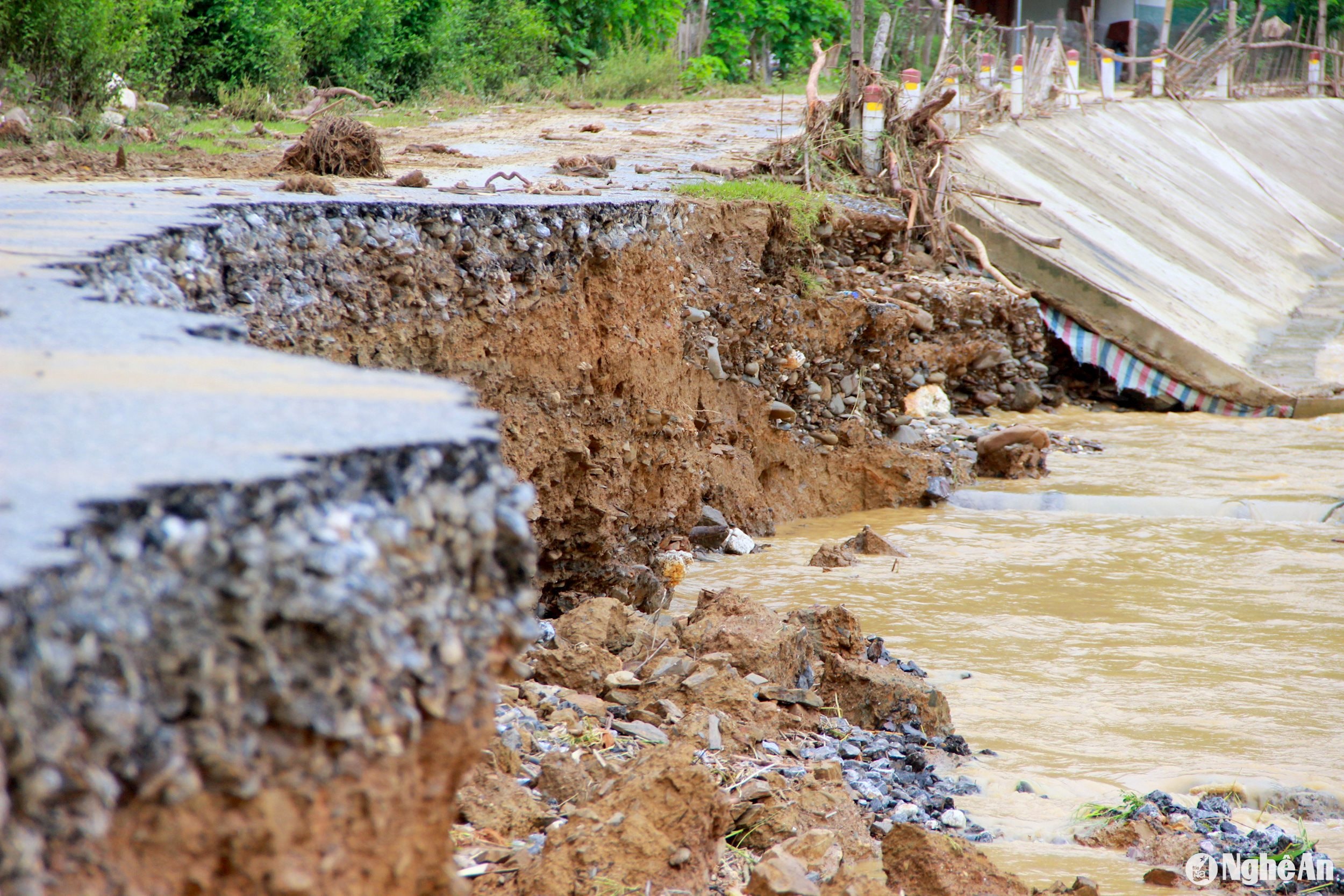
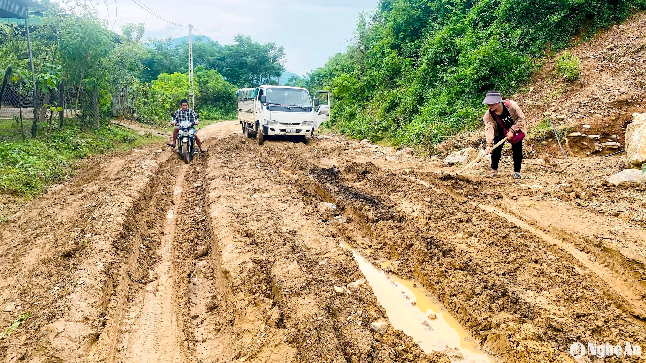
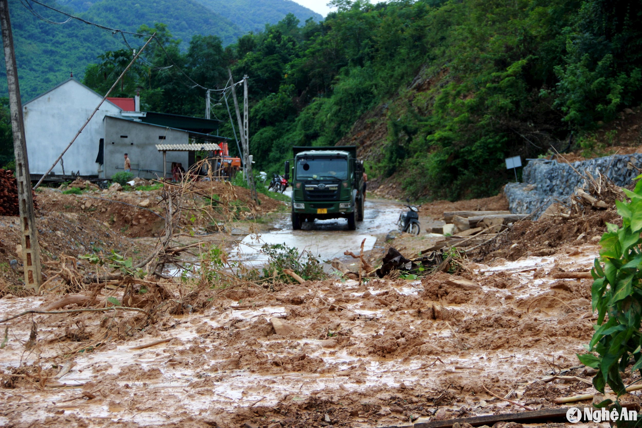
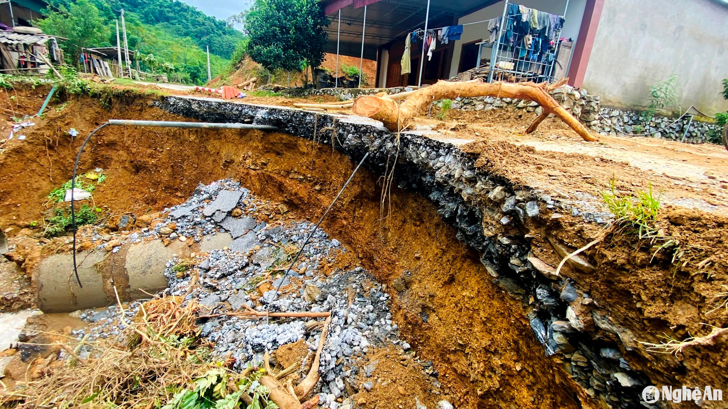
The road from Chieu Luu commune to Bao Thang commune is currently the most potentially dangerous route in Ky Son district after the recent floods.
.jpg)
.jpg)
.jpg)
.jpg)
.jpg)
The road from Chieu Luu commune to Bao Thang commune is currently the most potentially dangerous route in Ky Son district after the recent floods.

Managing agency: Nghe An Provincial Party Committee
Editor-in-Chief: Tran Minh Ngoc
Electronic newspaper operating license number: 153/GP-BTTTT
Issued by the Ministry of Information and Communications on March 24, 2022

.jpg "Miền Tây Nghệ An tích cực khôi phục sản xuất sau mưa lũ")
