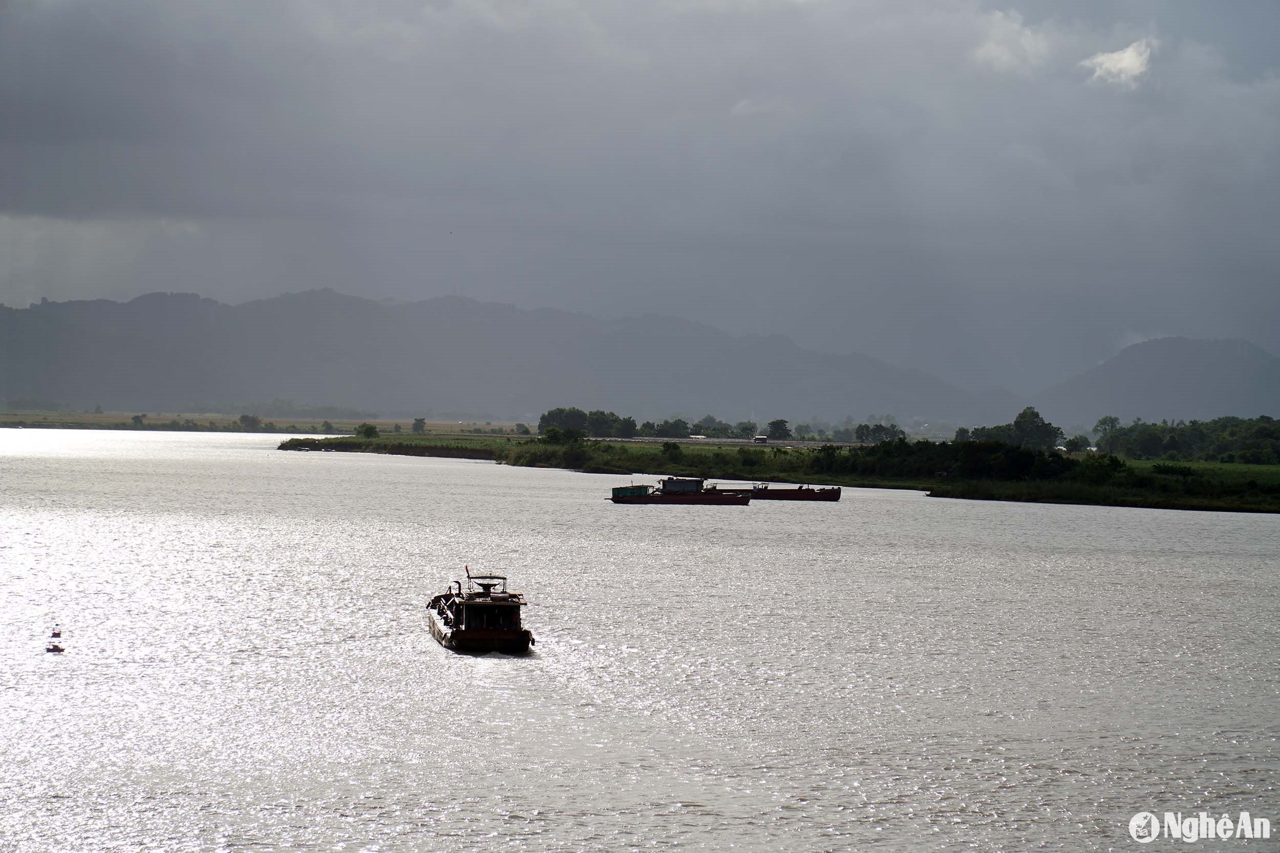
Riverbank erosion along the Lam River is becoming increasingly complex.
The banks of the Lam River are encroaching further and further inland, turning many previously agricultural lands into vast stretches of waterways.
Hundreds of landslides
Agricultural land along the riverbanks is gradually shrinking, and every year during the rainy season, large areas of crops and plants belonging to local people are swept away by the floodwaters. Even more worrying, in some areas there is an unpredictable risk as riverbank erosion is tending to gradually encroach upon the embankment itself.
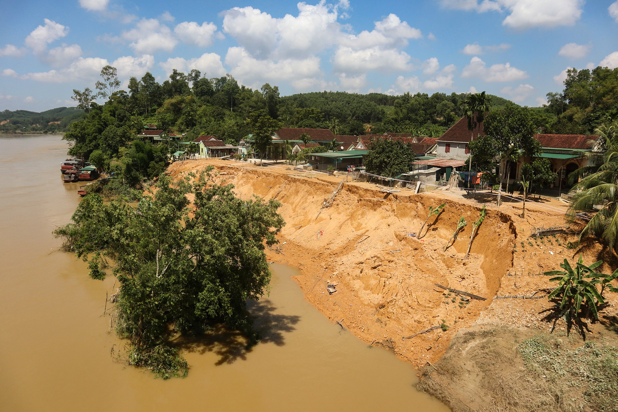
Riverbank erosion along the Lam River in Hung Nguyen district has been occurring for many years, but it has been most severe in the last 5 years. Among the many eroded locations in the area, the most serious is Long Xa commune, where the river "swallows" over 3,000 square meters of land each year.2One of the important causes of this situation is that the bank on the Ha Tinh side has been reinforced with embankments, forming sandbars and altering the water flow, leading to severe erosion along the bank in Hung Nguyen district.
Mr. Hoang Duc An, Head of the Agriculture and Rural Development Department of Hung Nguyen district, said: Hung Nguyen has nearly 1,000 hectares of riverside land along the Lam River suitable for producing many types of crops, especially this fertile land is very favorable for developing high-tech agricultural production. In recent years, the district has focused on attracting and creating conditions for organizations and individuals to implement high-tech agricultural projects and models; to date, some models in Hung Thanh, Hung Linh, and Long Xa communes have proven to be more effective than conventional production.
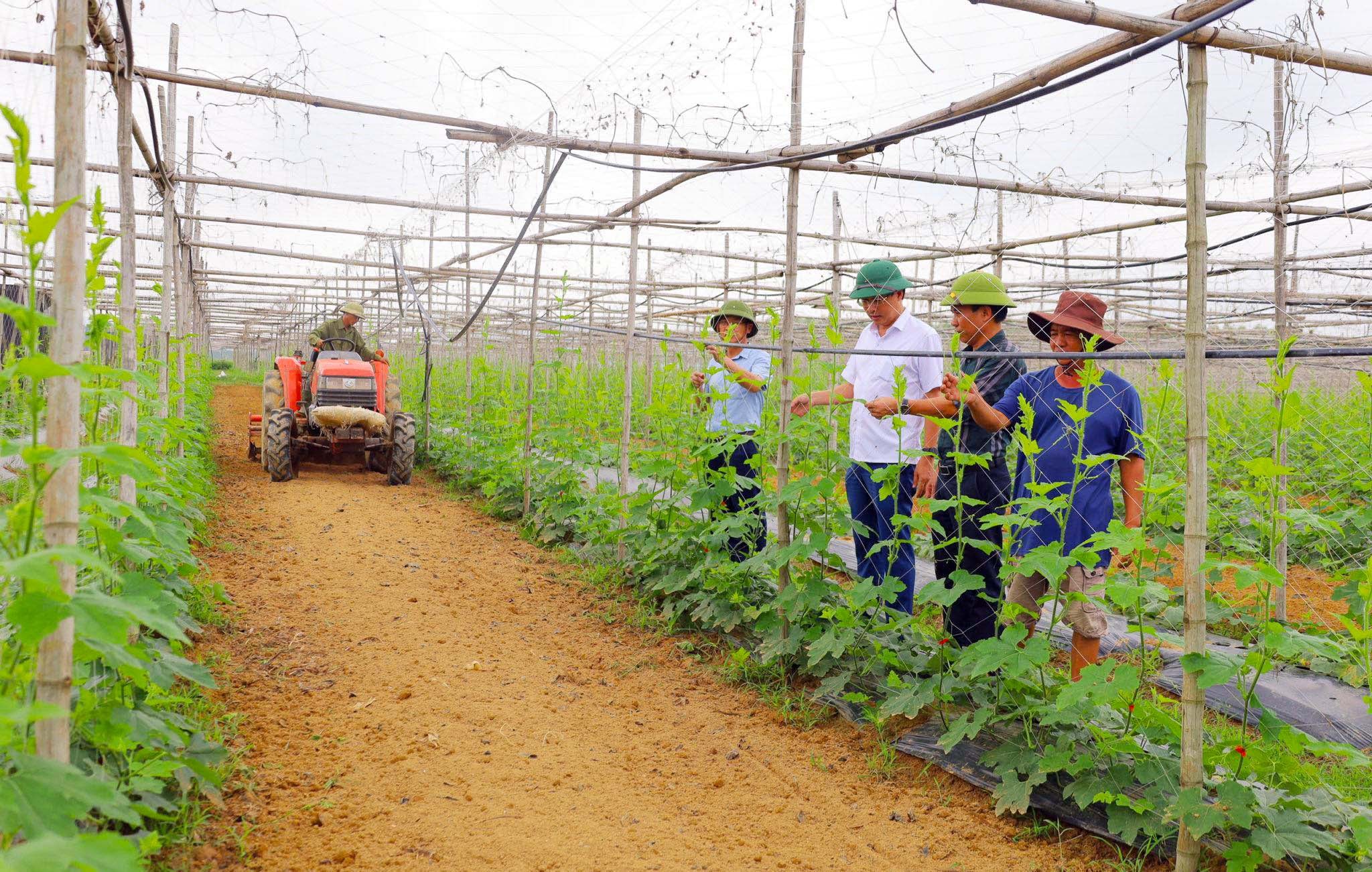
The recent erosion has significantly impacted agricultural production in the district, especially the development of high-tech agriculture in the fertile alluvial plains of the communes.
Mr. Hoang Duc An - Head of the Agriculture and Rural Development Department of Hung Nguyen District
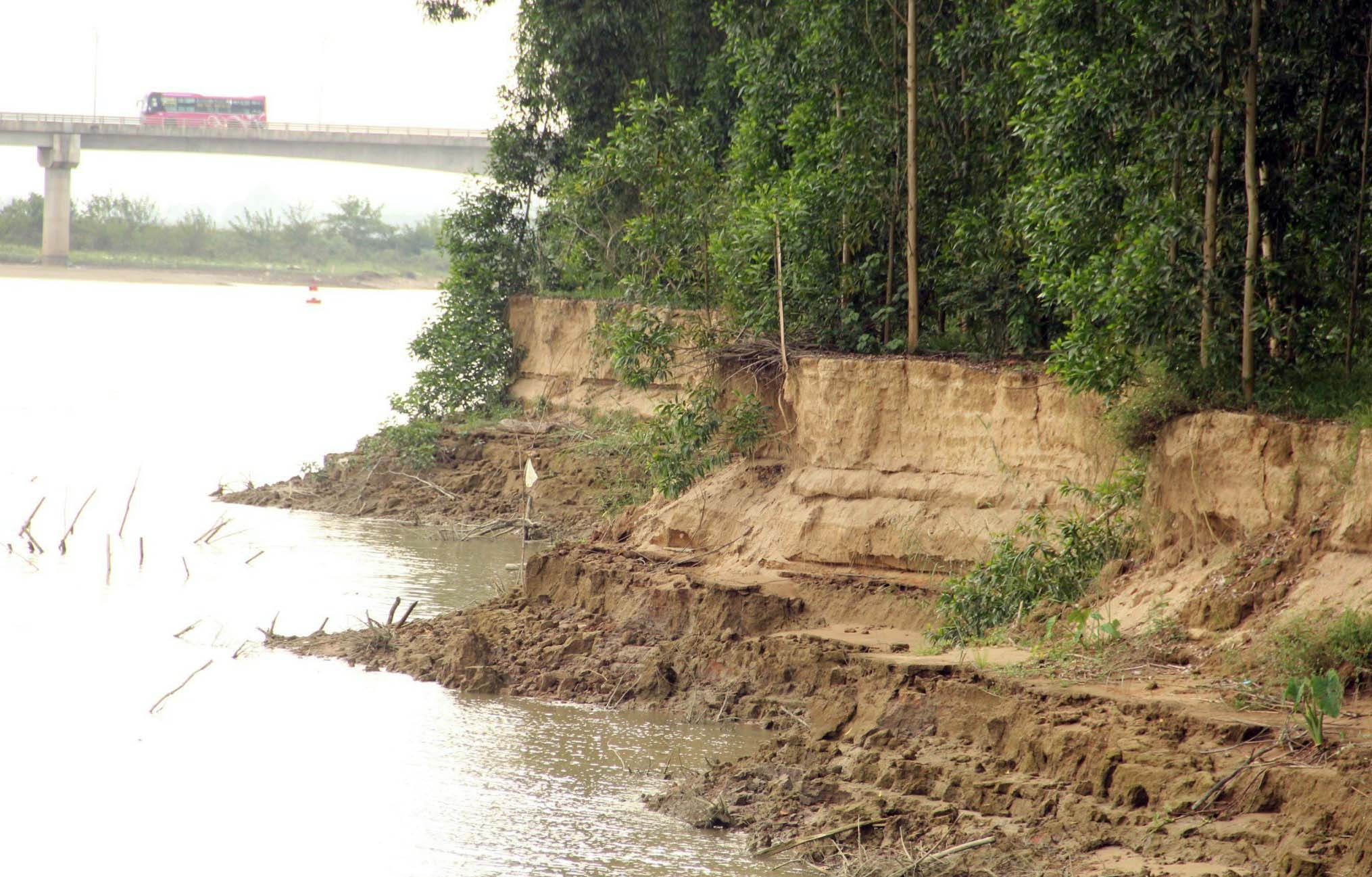
Currently, along the more than 168 km stretch of the Lam River, there are hundreds of landslide locations across 68 communes, wards, and towns. Riverbank erosion has resulted in the loss of large areas of arable land and directly affected many people's homes. The causes have been identified as changes in river flow and rampant sand mining.
Mr. Tran Quoc Toan, Deputy Head of the Irrigation Sub-Department, said: "It may be localized or occur along entire stretches, but generally, all localities through which the Lam River flows experience riverbank erosion. However, the most severe cases are in the districts of Anh Son, Thanh Chuong, Nam Dan, and Hung Nguyen."
The Sub-Department has regularly reviewed and assessed the extent of erosion and proposed solutions to address it. With funding from the central and provincial governments, several projects to build embankments to prevent erosion along the Lam River have been implemented. However, due to financial constraints, in recent years most remedial work has only been carried out in dangerous areas. Many weak points and prolonged erosion along the Lam River, especially in the downstream areas, still persist. Therefore, before this year's rainy season, the risk of land loss and safety hazards remains present in many localities of the province.
Rivers "eat away" at the land.
In just five years, from 2019 to the present, the 6-hectare farm of Thanh Vinh Cooperative for the production, supply, and consumption of clean agricultural products in Long Xa commune, Hung Nguyen district, has lost approximately 9,000 square meters of land.2Agricultural land. Mr. Nguyen Van Thanh, the cooperative's director, expressed his concern: "Every rainy season, the riverbank collapses, washing away large chunks of soil. For the past five years, there hasn't been a single year without floods. To prevent landslides, right from the first planting season, we had to leave about 30 meters of land untouched, but now we're having to move back even further. The riverbank is steep and has no slope left, and the loose soil underneath has almost no hold, so we don't know how much more land we'll lose in the upcoming rainy season," Mr. Thanh said dejectedly.
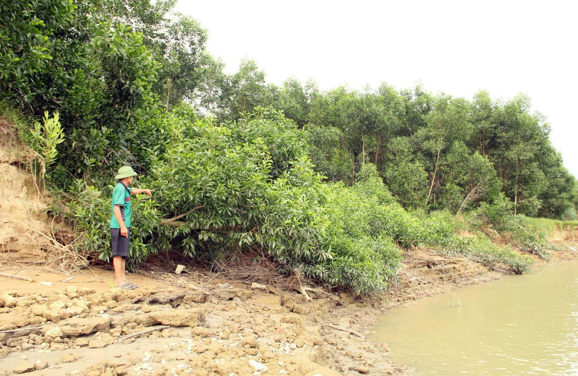
Over the years, the alluvial plain along the Lam River, stretching from Xuan Lam commune to Long Xa commune in Hung Nguyen district, has been continuously eroded, with significant erosion into the riverbanks. In Long Xa commune alone, the 2.2 km long alluvial plain, which previously covered over 200 hectares, now only has about 150 hectares remaining.
Mr. Vo Van Chien, Vice Chairman of the Commune People's Committee, said: Along the riverbank, some sections have been invested in with the construction of embankments, and in these areas, people have been able to cultivate sesame during the summer and autumn seasons. However, most of the remaining area is affected by erosion, with some sections only a few hundred meters from the embankment. People only dare to cultivate crops in the spring when there is no rain, flooding, or erosion.
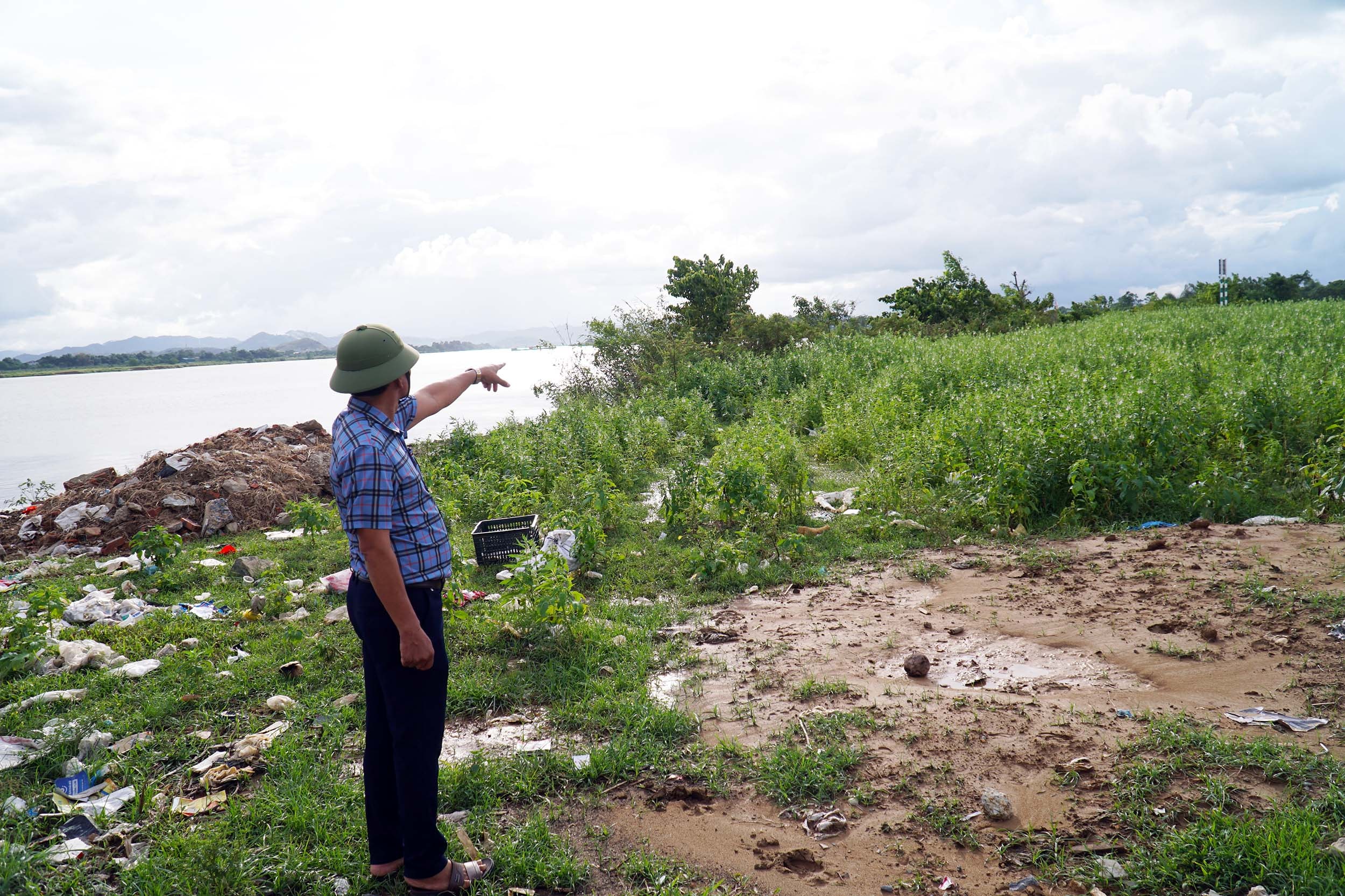
“We also planted trees to act as wave barriers, but it was ineffective. During the rainy season, the trees were all swept away into the river, and the sandy soil is very prone to erosion,” said Mr. Vo Van Chien. In less than 10 years, the riverbank has receded by about 40 meters. Erosion has washed away the soil, so whereas previously each house had over 300 square meters of land.2There is now only 10 square meters of arable land per person, while in this area, agriculture is mainly focused on growing vegetables, with only 9 square meters of rice land per person.
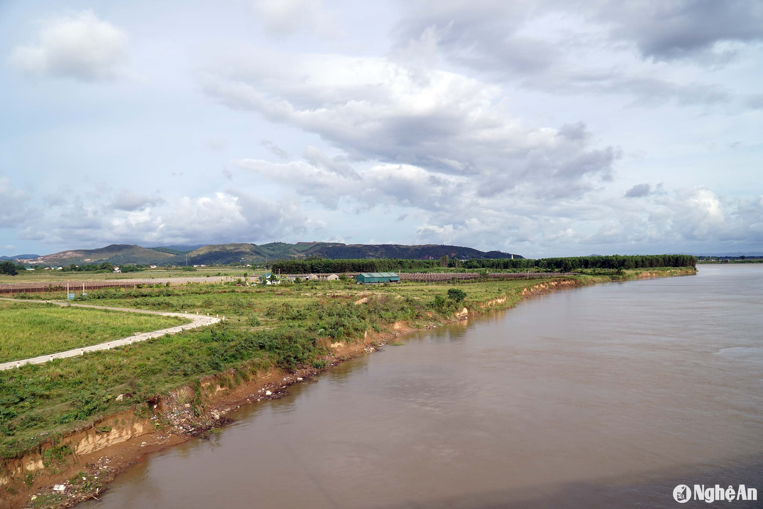
Not only is agricultural land being lost, but the inter-communal road from Long Xa to Xuan Lam, built in 2023 with tens of billions of dong in investment, is also getting closer and closer to the riverbank. If this situation continues, the risk of the river swallowing the road is very clear.
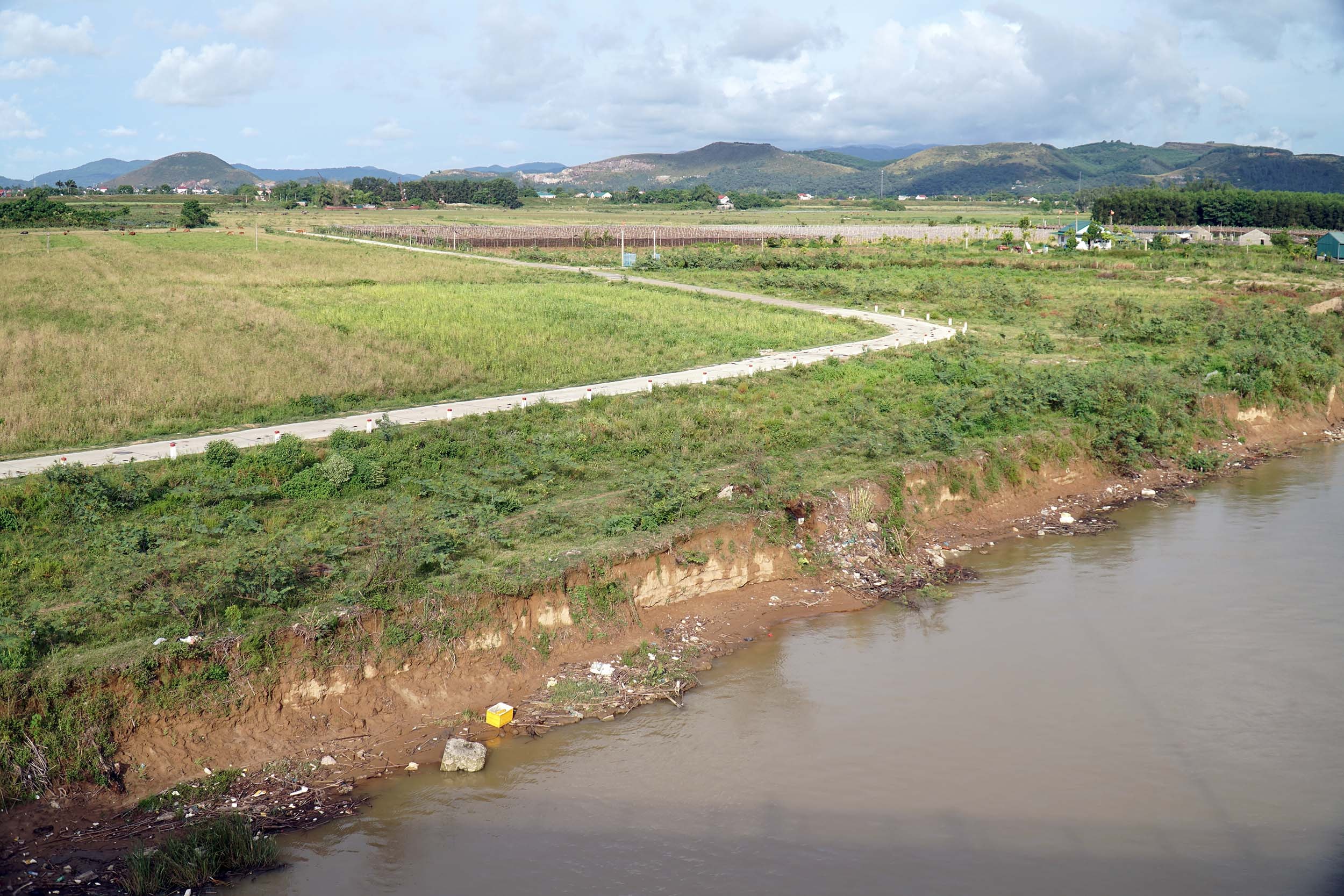
Similarly, in Trung Phuc Cuong commune, Nam Dan district, agricultural land along the Lam River has also suffered serious erosion; large areas of crops and a portion of acacia plantations belonging to local people have been swept away by the water. According to preliminary statistics, in just the last four years, this locality has lost up to 17 hectares of riverside land due to erosion.
According to Mr. Nguyen An Toan, Chairman of the People's Committee of Trung Phuc Cuong commune, local resources are insufficient to solve this problem; the only feasible solution is to seek investment from the central and provincial governments to build embankments to protect the riverbanks.