Vietnamese
Vietnamese
English
French
Русский
Listen to An News
Nghe An Daily
Nghe An Weekend
Log in
Nghe An Newspaper:
Nghe An Television:
Latest
Current Affairs
Forum
Human Resources
New policy
Party building
Protecting the ideological foundation
Putting the resolution into practice.
Economy
Industrial
Agriculture
Market
Real estate
Car
International
Comment
News
Society
Bridge of Compassion
Religion - Beliefs
Culture
National Defense
Tourism
Poetry - Stories
Education
Law
Security and Order
Advise
Case file
Sport
SLNA
Domestic
Nghe An Newspaper and Radio Cup
International
Business networking
Classified ads
Health
Advise
Medicine & Nutrition
Health & Beauty
News
Labor
Job
Entertainment
Showbiz
Short Video
Reflection
Digital transformation
Technology
Emergency storm warning
News updates related to the emergency storm warning.
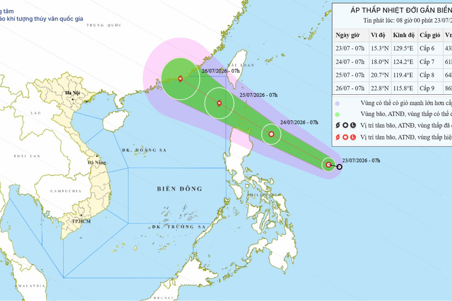
Tropical depression near the South China Sea on July 23, 2026: Forecast to strengthen into a typhoon, with gusts up to level 10.
The tropical depression is moving rapidly towards the South China Sea, forecast to strengthen into a typhoon by July 25, 2026, causing strong winds of level 8 and high waves in the northern South China Sea.
Economy
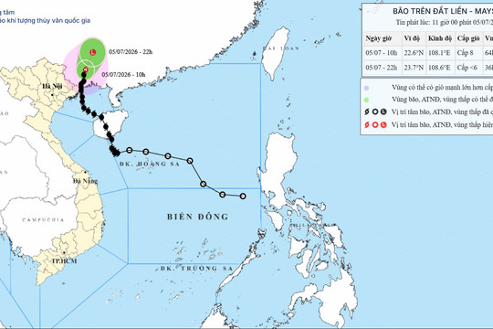
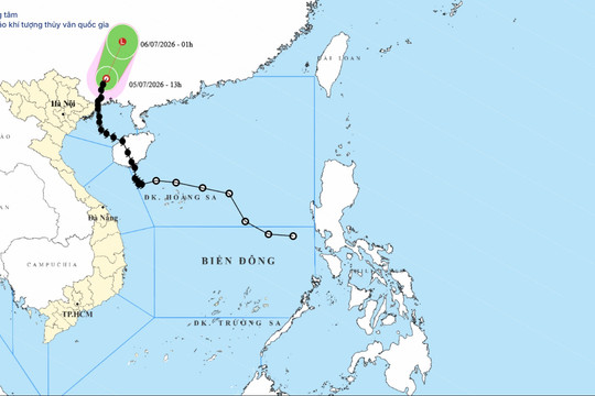
Latest news on Typhoon No. 1 on July 5, 2026: The typhoon has weakened into a tropical depression in China.
At noon on July 5, 2026, Typhoon No. 1 weakened into a tropical depression in Guangxi (China). The typhoon no longer directly affected Vietnam, but the sea remained rough.
Typhoon No. 01, July 5, 2026: Landfall in Guangxi, causing strong winds and heavy rain in Quang Ninh.
On the morning of July 5, 2026, the center of Typhoon No. 1 was located in the southern part of Guangxi Province (China). Coastal areas of Quang Ninh and the northern Gulf of Tonkin should be prepared for strong gusts of wind up to level 10.
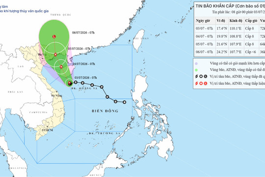
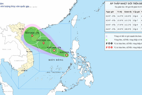
Emergency storm warning #1, July 3, 2026: Heading towards Quang Ninh, warning of very heavy rain.
Typhoon No. 1 is expected to make landfall on the coast of Quang Ninh province on the morning of July 5, 2026, with wind speeds of level 8. The Northeast region and Thanh Hoa province face the risk of localized heavy rainfall exceeding 350mm.
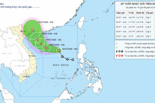
Tropical depression warning for the South China Sea on July 2nd, 2026: Potential to strengthen into a typhoon.
A tropical depression is approaching the Hoang Sa Special Administrative Region and is forecast to strengthen into a typhoon within the next 24 hours, causing gusts of wind up to level 12 and waves up to 5 meters high in the northern South China Sea.
Tropical depression in the East Sea on July 2nd, 2026: Forecast to strengthen into a typhoon, with gusts up to level 12.
At 1:00 AM on July 2nd, 2026, a tropical depression was located 400km from the Paracel Islands. It is forecast to strengthen into a typhoon within the next 24 hours with wind gusts reaching level 12, causing very rough seas.
Tropical depression in the East Sea on July 1, 2026: Forecast to strengthen into a typhoon, with gusts up to level 12.
The tropical depression is currently located in the northern South China Sea with wind gusts reaching level 9. It is forecast to strengthen into a typhoon within the next 24 hours, threatening the Paracel Islands and Hainan Island.
Tropical depression in the South China Sea on July 1, 2026: Warning of strengthening into a typhoon.
July 1, 2026 09:20
On the morning of July 1st, 2026, the low-pressure area east of the central South China Sea strengthened into a tropical depression, with wind gusts reaching level 8 and the potential to intensify into a typhoon within the next 48 hours.
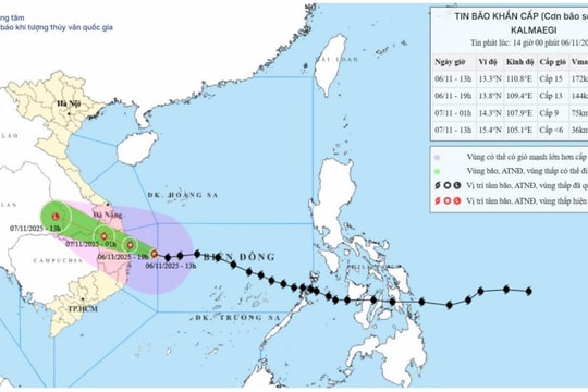
URGENT STORM WARNING: Typhoon Kalmaegi (Typhoon No. 13) is at level 15, with gusts exceeding level 17, and its center is heading towards Quang Ngai and Dak Lak provinces.
November 6, 2025 14:11
The National Center for Meteorological and Hydrological Forecasting has just issued an emergency storm warning (Storm No. 13). At 13:00 on November 6th, the storm's center was located approximately 190km east-east of Quy Nhon (Gia Lai)...
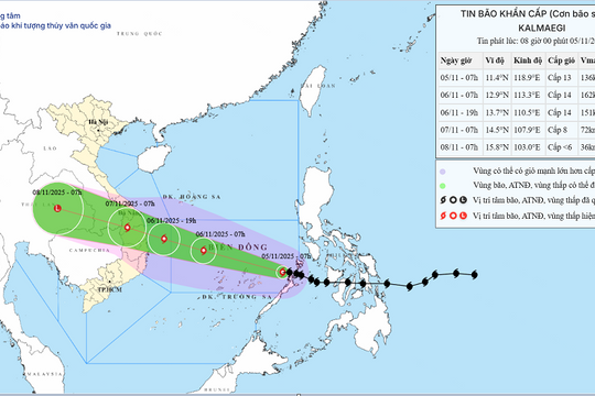
URGENT STORM WARNING (Typhoon No. 13) has entered the eastern waters of the central South China Sea.
November 5, 2025 08:52
Early this morning (November 5th), Typhoon Kalmaegi entered the eastern part of the central South China Sea, becoming the 13th typhoon in the South China Sea in 2025.
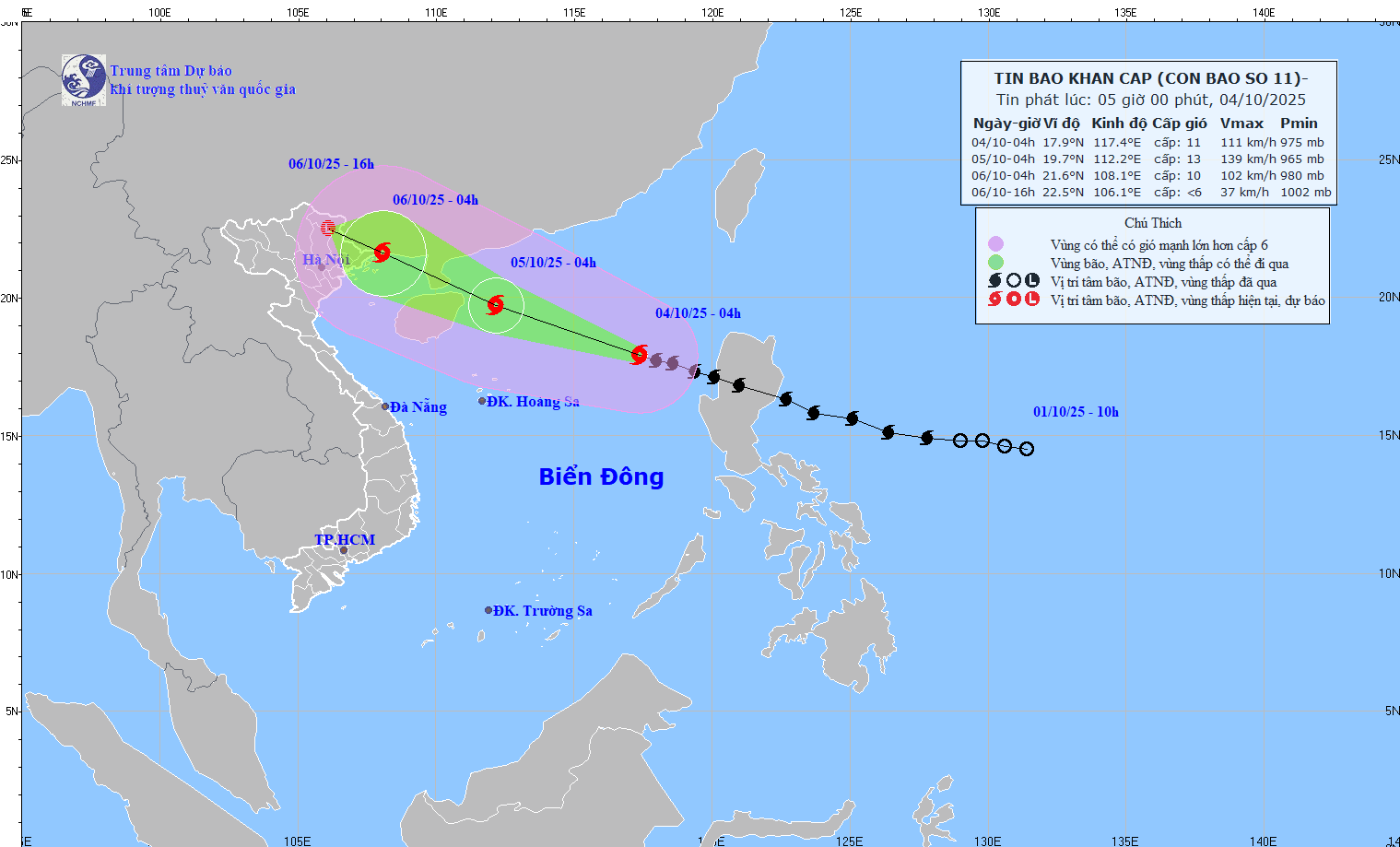
URGENT STORM WARNING (Typhoon No. 11): At 4:00 AM on October 4th, the typhoon's center was located approximately 570km east-northeast of the Hoang Sa Special Economic Zone.
October 4, 2025 05:52
At 04:00 on October 4th, the typhoon's center was located at approximately 17.9 degrees North latitude and 117.4 degrees East longitude, in the sea area east of the North East Sea, about 570km from the Hoang Sa Special Administrative Region...
URGENT STORM WARNING: Typhoon No. 10, with gusts reaching level 15, is making landfall in Nghe An and Quang Tri provinces, warning of an extremely dangerous combination of natural disasters.
September 28, 2025 20:36
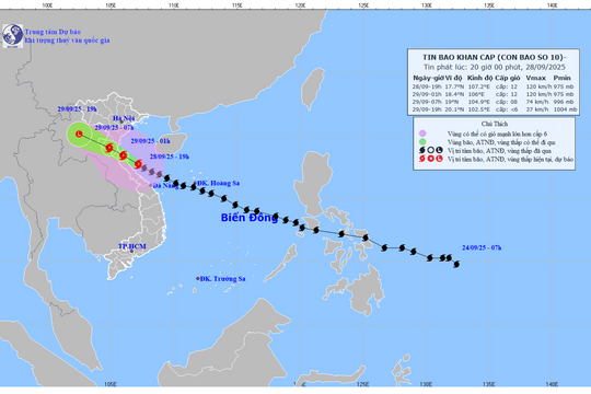
The eye of Typhoon No. 10 is currently located over the coastal area of Nghe An - northern Quang Tri with extremely strong winds of level 12, gusting to level 15. This is a fast-moving, strong typhoon with a wide area of impact, warning...
Emergency storm warning: Typhoon BUALOI (Typhoon No. 10), Category 12, gusts up to Category 15, is heading towards Nghe An and northern Quang Tri.
September 28, 2025 15:02
The storm's center is currently in the sea area between Quang Tri and Da Nang, moving very quickly and is forecast to cause a dangerous combination of strong winds, high waves, storm surge, and extremely heavy rain, threatening provinces from Thanh Hoa...
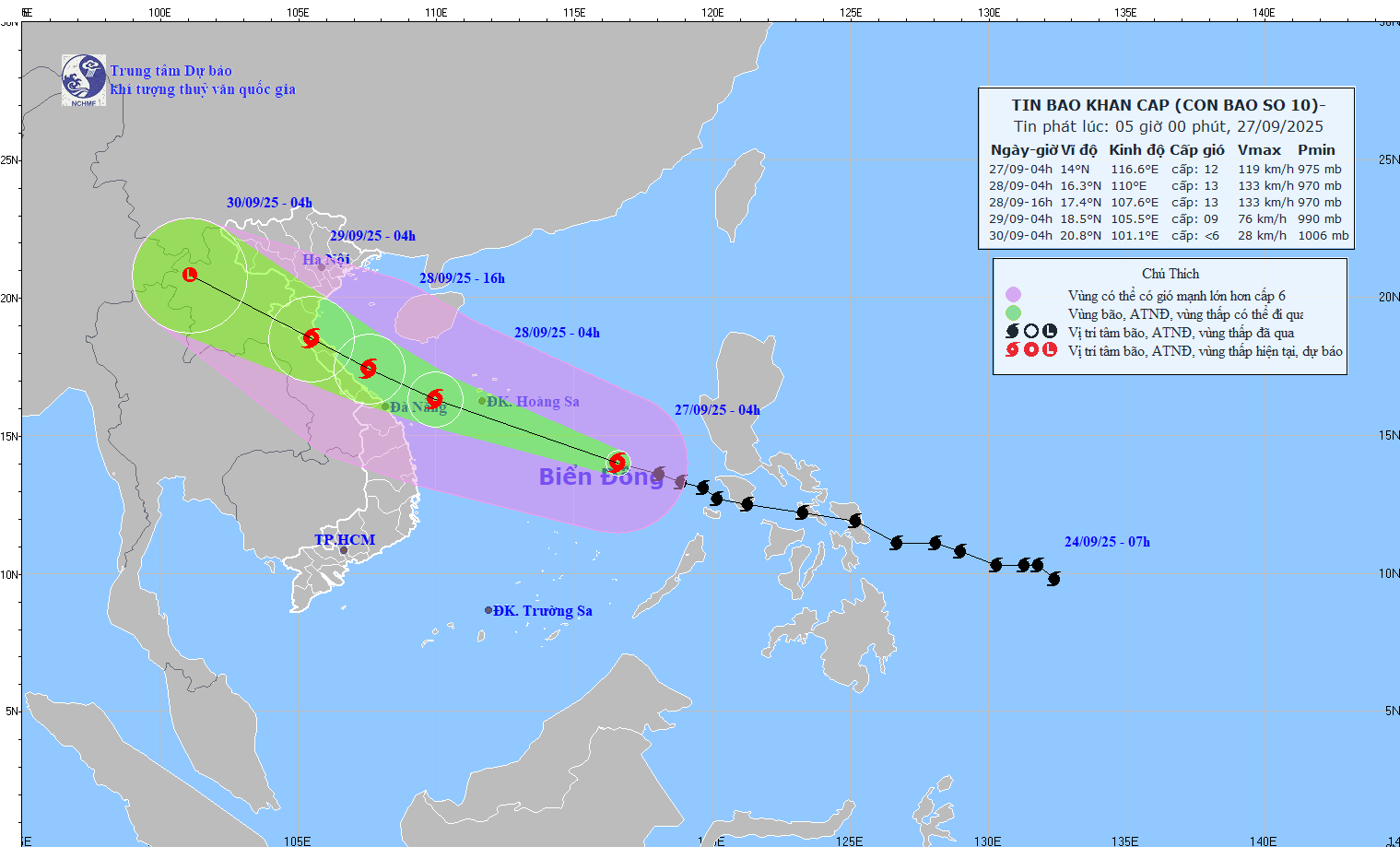
URGENT STORM WARNING (Typhoon No. 10): At 4:00 AM on September 27th, the typhoon's center was located approximately 580km from the Hoang Sa Special Economic Zone.
September 27, 2025 05:59
At 04:00 on September 27th, the typhoon's center was located at approximately 14.0°N; 116.6°E, about 580km east-southeast of the Hoang Sa Special Administrative Region. The strongest winds near the center of the typhoon were at level 11-12 (103-133km/h),...
Emergency storm warning: Super typhoon No. 9, with wind speeds of level 17, is heading towards the Gulf of Tonkin; Nghe An province is expected to experience very heavy rainfall.
September 23, 2025 06:19
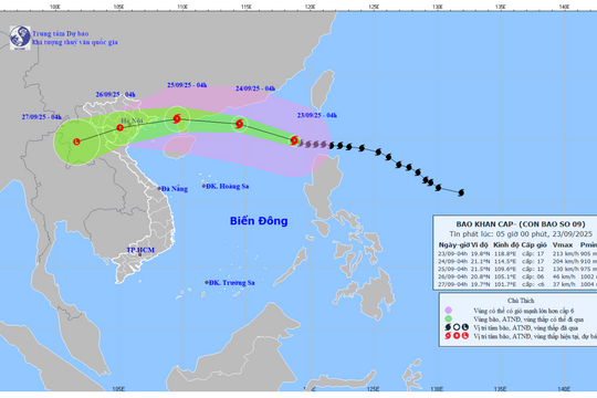
According to the emergency storm warning issued at 5:00 AM this morning (September 23rd) by the Nghe An Provincial Meteorological and Hydrological Station, Super Typhoon No. 9 (Typhoon Ragasa) is currently active in the East Sea with maximum wind speeds reaching level 17,...
URGENT STORM WARNING: Typhoon No. 6 brings strong winds of level 8, gusting to levels 10-11.
August 30, 2025 14:37
Typhoon No. 6 is causing strong winds of level 8, gusting to levels 10-11. These wind speeds are capable of breaking tree branches and tearing off roofs, causing damage to houses. It is impossible to travel against the wind.
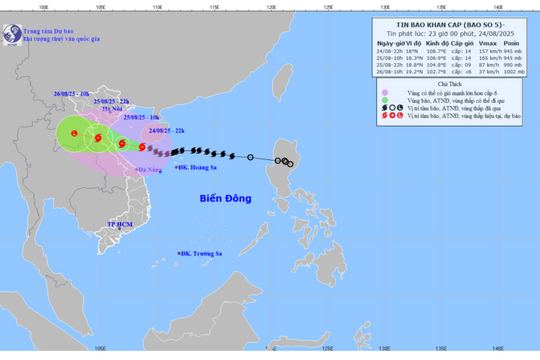
URGENT STORM WARNING AT 11:00 PM: Typhoon Kajiki, Category 14, gusts up to Category 17, a 'super typhoon,' is heading straight towards Nghe An province; the mainland could experience gusts up to Category 16.
August 24, 2025 23:19
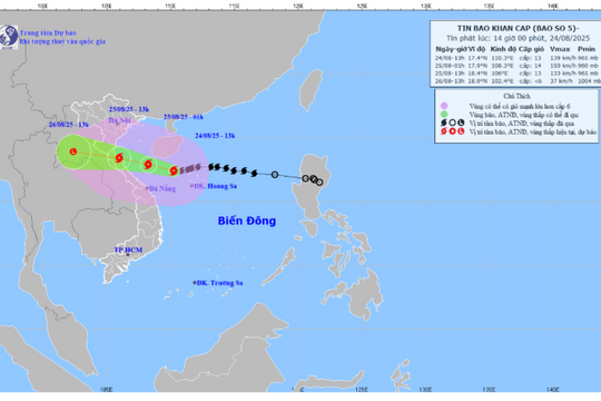
According to the latest emergency storm bulletin, issued at 11:00 PM on August 24th by the Nghe An Provincial Meteorological and Hydrological Station, Typhoon No. 5 is very strong, moving rapidly, and is forecast to directly affect...
URGENT STORM WARNING: Typhoon No. 5, with gusts reaching level 16, is heading straight inland across provinces from Thanh Hoa to Quang Tri.
August 24, 2025 17:26
According to the emergency storm warning issued at 4:30 PM on August 24th by the Nghe An Provincial Meteorological and Hydrological Station, Typhoon No. 5 is moving rapidly westward with the strongest winds near the center of the storm reaching...
Emergency storm warning (Storm No. 4): Nghe An province is experiencing increasingly strong winds, reaching levels 5-6, with gusts up to level 7.
September 19, 2024 06:08
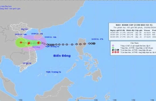
Early this morning (September 19), the tropical depression in the northeastern area of the Hoang Sa archipelago strengthened into a typhoon, the 4th typhoon of 2024. At Con Co Island (Quang Tri)...
See more
POWERED BY
FREE
CMS
- A PRODUCT OF
NEKO
×
Log in
Log in with Google




.png "Tin bão khẩn cấp: Bão số 10 BUALOI cấp 12, giật cấp 15 đang hướng vào Nghệ An - bắc Quảng Trị")
.jpg "TIN BÃO KHẨN CẤP: Bão số 6 gây gió mạnh cấp 8, giật cấp 10-11")